Dark Walk Plantation
Wood, Forest in Essex Uttlesford
England
Dark Walk Plantation

Dark Walk Plantation is a picturesque woodland located in Essex, England. Situated near the town of Wood, the plantation covers an expansive area, forming part of a larger forest. Renowned for its natural beauty and tranquil atmosphere, it attracts visitors from all around the country.
The plantation is characterized by its dense and ancient woodland, dominated by a variety of tall, mature trees. Oak, beech, and ash trees are particularly abundant, creating a rich, diverse ecosystem. The forest floor is carpeted with a lush undergrowth of ferns, wildflowers, and mosses, adding to the enchanting ambiance of the area.
A well-maintained network of walking trails winds through the plantation, allowing visitors to explore and immerse themselves in the natural surroundings. These paths lead to various points of interest, such as a serene lake and a small waterfall, providing beautiful spots for relaxation and contemplation.
The plantation is also home to a wide range of wildlife, including deer, foxes, and numerous bird species. Birdwatchers often flock to Dark Walk Plantation to catch a glimpse of elusive species like the Eurasian woodcock or the great spotted woodpecker.
With its idyllic setting, Dark Walk Plantation offers a perfect escape from the hustle and bustle of everyday life. Whether it's for a peaceful stroll, a family picnic, or wildlife observation, this woodland sanctuary provides a truly magical experience for nature enthusiasts and visitors of all ages.
If you have any feedback on the listing, please let us know in the comments section below.
Dark Walk Plantation Images
Images are sourced within 2km of 51.997935/0.21646946 or Grid Reference TL5235. Thanks to Geograph Open Source API. All images are credited.


Dark Walk Plantation is located at Grid Ref: TL5235 (Lat: 51.997935, Lng: 0.21646946)
Administrative County: Essex
District: Uttlesford
Police Authority: Essex
What 3 Words
///warblers.water.backhand. Near Saffron Walden, Essex
Related Wikis

Leper Stone
The Leper Stone or Newport Stone (grid reference TL520349) is a large sarsen stone near the village of Newport, Essex, England. The name Leper Stone probably...
Joyce Frankland Academy
Joyce Frankland Academy, Newport, formerly Newport Free Grammar School, is a school in Newport, Essex, England. It was founded in 1588. The school is a...

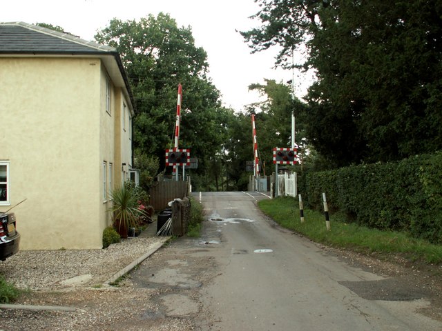
Audley End railway station
Audley End railway station is on the West Anglia Main Line serving the village of Wendens Ambo and the town of Saffron Walden in Essex, England. It is...
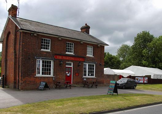
Waldstock Festival UK
Waldstock is an annual charity music festival held in the grounds of the Fighting Cocks Public House, Wendens Ambo, Essex. Waldstock is organised entirely...

Wendens Ambo
Wendens Ambo is a village in the Uttlesford district of Essex, England. The population at the 2011 census was measured at 473. Its name originates from...

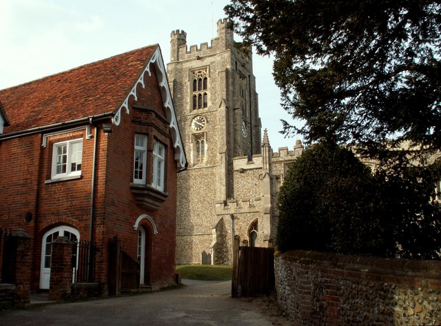
St Mary the Virgin Church, Wendens Ambo
St Mary the Virgin Church is a Church of England parish church in the village of Wendens Ambo in Essex, England. It is listed Grade I for its architectural...
Saffron Walden Rural District
Saffron Walden Rural District was a rural district in the county of Essex, England. It was created in 1894 and later enlarged by the addition of the parishes...
Audley End Airfield
Audley End Airfield is located to the south west of Saffron Walden near to Saffron Walden County High School in the Uttlesford district of Essex, England...
Nearby Amenities
Located within 500m of 51.997935,0.21646946Have you been to Dark Walk Plantation?
Leave your review of Dark Walk Plantation below (or comments, questions and feedback).