Brickkiln Spring
Wood, Forest in Essex Uttlesford
England
Brickkiln Spring
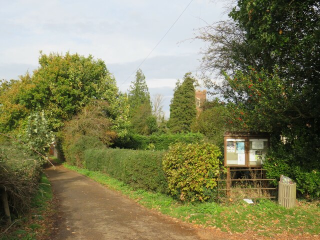
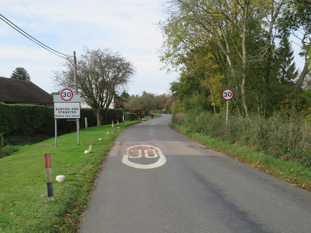
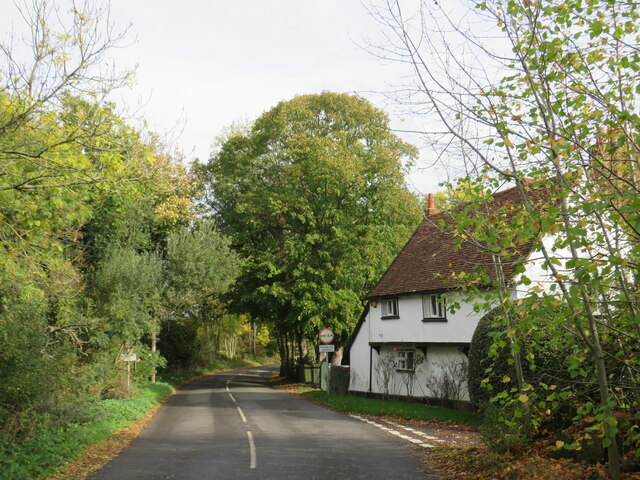
Brickkiln Spring is a picturesque woodland located in Essex, England. Situated within the larger Wood Forest, this enchanting area spans approximately 200 acres and offers a serene escape from the bustling city life. The spring derives its name from the former brickworks that operated in the area during the industrial era.
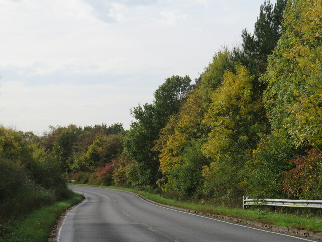
The woodland is characterized by a diverse range of flora and fauna, making it a haven for nature enthusiasts and wildlife lovers. Towering trees, including oak, beech, and birch, dominate the landscape and provide a lush canopy that filters the sunlight, creating a tranquil and shaded environment. The forest floor is adorned with a vibrant carpet of bluebells, wild garlic, and ferns, adding a touch of color to the serene surroundings.
A network of well-maintained footpaths and trails crisscrosses throughout the woodland, providing visitors with the opportunity to explore and immerse themselves in its natural beauty. These paths lead to Brickkiln Pond, a serene body of water surrounded by reeds and water lilies, offering a peaceful spot for relaxation and birdwatching.
Brickkiln Spring also boasts a rich history, with remnants of the old brickworks and kilns still visible in certain areas. These remnants serve as a reminder of the area's industrial past and add an intriguing element to the woodland's charm.
Overall, Brickkiln Spring is a hidden gem in Essex, offering a blissful retreat for those seeking solace in nature. Whether it's walking, birdwatching, or simply enjoying the tranquility, visitors are sure to find respite and beauty in this enchanting woodland.
If you have any feedback on the listing, please let us know in the comments section below.
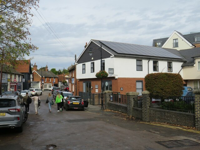
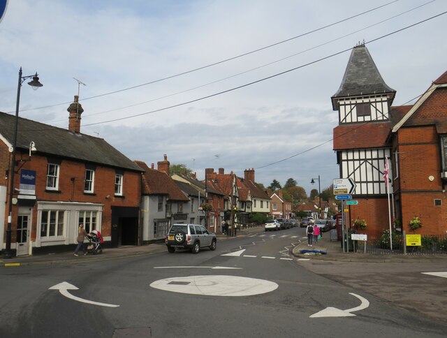
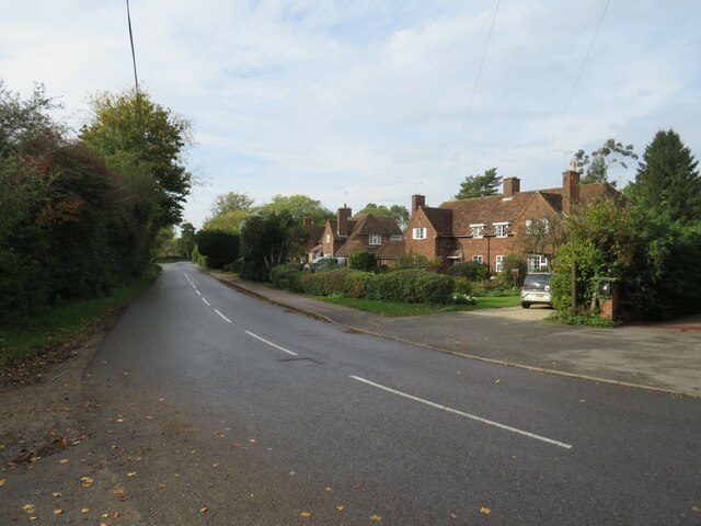
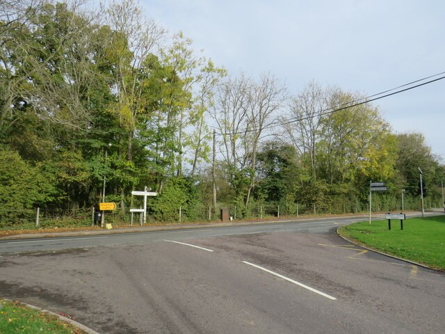
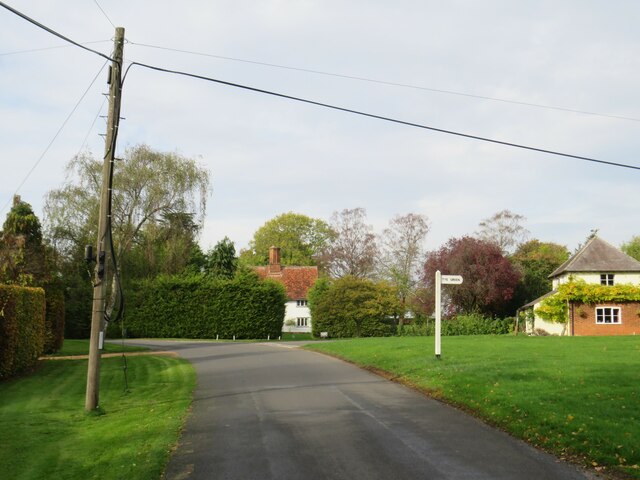
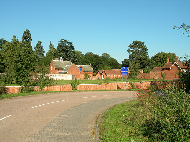
Brickkiln Spring Images
Images are sourced within 2km of 51.899607/0.20961967 or Grid Reference TL5224. Thanks to Geograph Open Source API. All images are credited.


Brickkiln Spring is located at Grid Ref: TL5224 (Lat: 51.899607, Lng: 0.20961967)
Administrative County: Essex
District: Uttlesford
Police Authority: Essex
What 3 Words
///nappy.ounce.folders. Near Stansted Mountfitchet, Essex
Nearby Locations
Related Wikis
Stansted Hall
Stansted or Steanstead Hall is located in Stansted Mountfitchet, Essex, East of England, United Kingdom. It was the country seat of the Earls of Essex...

Arthur Findlay College
Arthur Findlay College is a college of Spiritualism and psychic sciences at Stansted Hall in Stansted Mountfitchet, Essex, England. Stansted Hall was built...
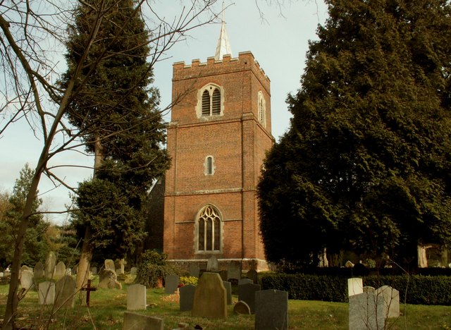
St Mary the Virgin's Church, Stansted Mountfitchet
St Mary the Virgin's Church is a redundant Anglican church near the village of Stansted Mountfitchet, Essex, England. It is recorded in the National Heritage...
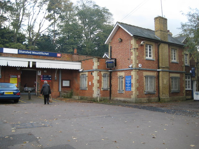
Stansted Mountfitchet railway station
Stansted Mountfitchet railway station is on the West Anglia Main Line serving the village of Stansted Mountfitchet in Essex, England. It is 33 miles 28...
Forest Hall School
Forest Hall School is a coeducational secondary school located in Stansted Mountfitchet, Essex, England. In 2016 64% of students gained at least 5 GCSEs...

Stansted Mountfitchet Castle
Stansted Mountfitchet Castle, also termed simply Mountfitchet Castle, is a Norman ringwork and bailey fortification in Stansted Mountfitchet, Essex, England...

Stansted Rural District
Stansted was a rural district in Essex, England from 1894 (1894) to 1934 (1934). It was created under the Local Government Act 1894 from the part of the...

Stansted Mountfitchet
Stansted Mountfitchet is an English village and civil parish in Uttlesford district, Essex, near the Hertfordshire border, 35 miles (56 km) north of London...
Nearby Amenities
Located within 500m of 51.899607,0.20961967Have you been to Brickkiln Spring?
Leave your review of Brickkiln Spring below (or comments, questions and feedback).