Lagden's Grove

Wood, Forest in Cambridgeshire South Cambridgeshire

England

Lagden's Grove

Great Abington, St Mary <span class="nowrap"><a title="http://www.druidic.org/camchurch/churches/gtabington.htm" rel="nofollow ugc noopener" href="http://www.druidic.org/camchurch/churches/gtabington.htm">Link</a><img style="margin-left:2px;" alt="External link" title="External link - shift click to open in new window" src="https://s1.geograph.org.uk/img/external.png" width="10" height="10"/></span>
Great Abington, St Mary Credit: mym

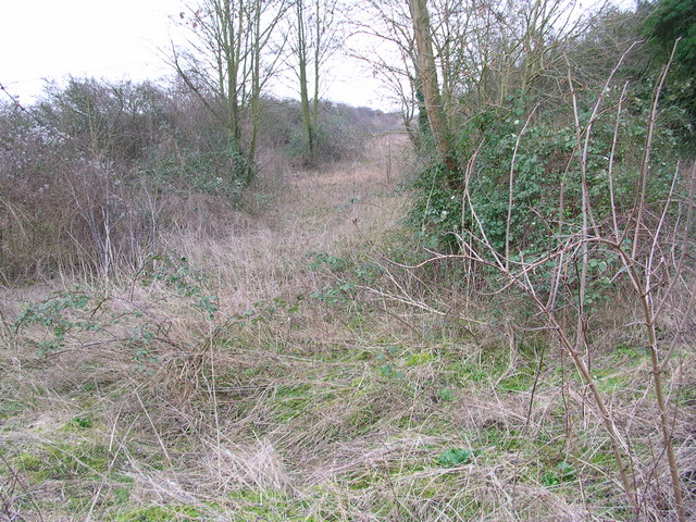
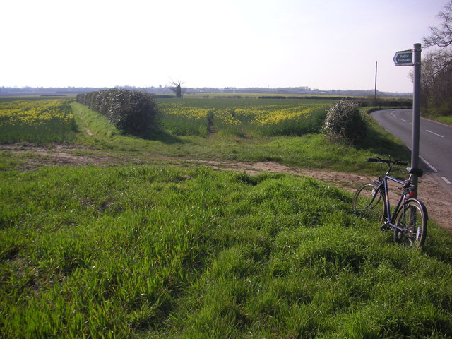
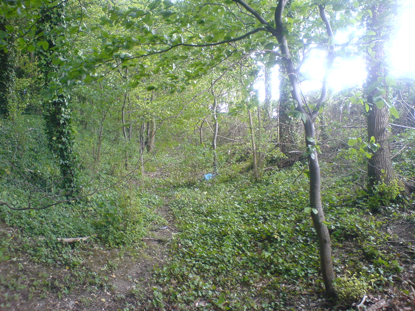
Lagden's Grove is a picturesque woodland area located in Cambridgeshire, England. Covering an expansive area of approximately 100 acres, it is a popular destination for nature enthusiasts and those seeking tranquility amidst the lush greenery.

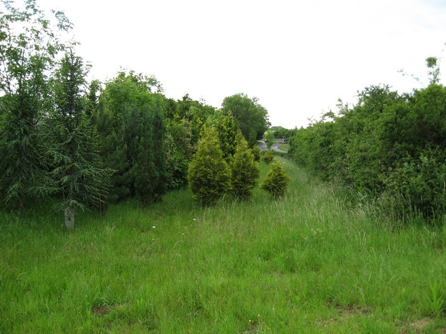
The grove is characterized by its dense forest of majestic oak, beech, and birch trees that have stood tall for centuries, creating a canopy that provides shade and a sense of serenity. The woodland floor is adorned with a diverse range of plant species, including bluebells, wild garlic, and primroses, which carpet the ground during the spring months.

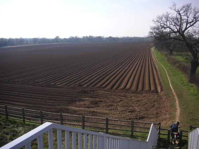
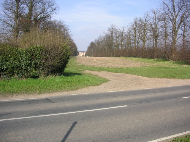
Traversing through Lagden's Grove is a network of well-maintained footpaths that wind their way through the woods, allowing visitors to explore the area at their own pace. These trails offer breathtaking views of the surrounding countryside and provide ample opportunities for birdwatching and wildlife spotting.

The grove is home to a variety of animal species, including deer, foxes, and a plethora of birdlife, such as woodpeckers, owls, and warblers. The dense vegetation and tranquil atmosphere make it an ideal habitat for these creatures.

Lagden's Grove boasts a rich history, with evidence of human activity dating back centuries. The remnants of ancient settlements and burial mounds can be found within the woodland, providing a glimpse into the lives of those who inhabited the area long ago.

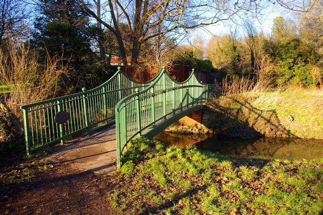
Overall, Lagden's Grove in Cambridgeshire is a haven for nature lovers, offering a peaceful retreat where visitors can immerse themselves in the beauty of the natural world. It is a place of great ecological importance and serves as a reminder of the region's rich history and biodiversity.

If you have any feedback on the listing, please let us know in the comments section below.

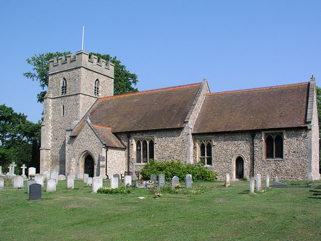
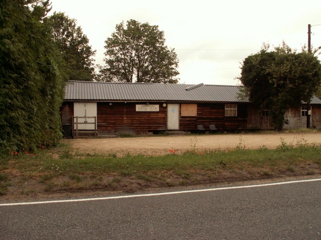
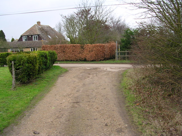
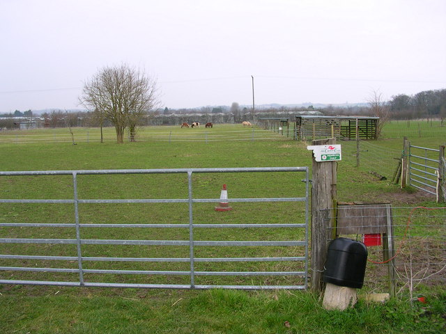
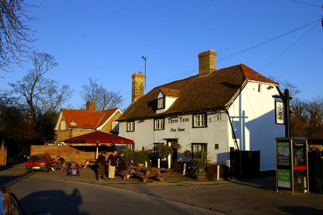
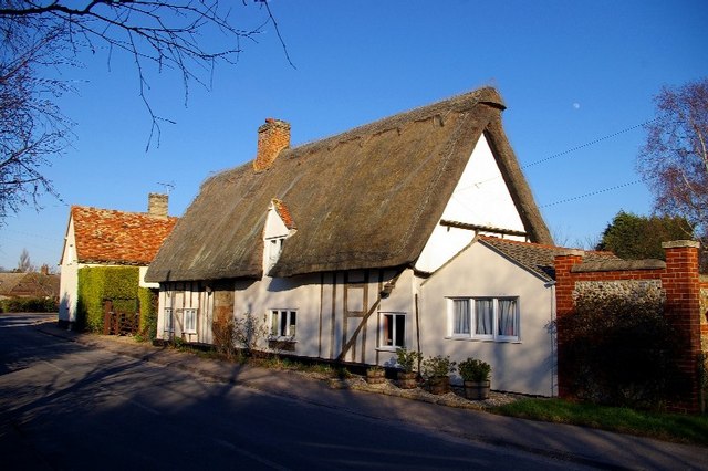
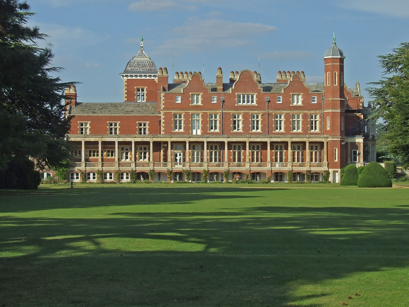
Lagden's Grove Images

Images are sourced within 2km of 52.119346/0.22041454 or Grid Reference TL5249. Thanks to Geograph Open Source API. All images are credited.

Great Abington, St Mary <span class="nowrap"><a title="http://www.druidic.org/camchurch/churches/gtabington.htm" rel="nofollow ugc noopener" href="http://www.druidic.org/camchurch/churches/gtabington.htm">Link</a><img style="margin-left:2px;" alt="External link" title="External link - shift click to open in new window" src="https://s1.geograph.org.uk/img/external.png" width="10" height="10"/></span>
Great Abington, St Mary
Little Abington, St Mary <span class="nowrap"><a title="http://www.druidic.org/camchurch/churches/ltabington.htm" rel="nofollow ugc noopener" href="http://www.druidic.org/camchurch/churches/ltabington.htm">Link</a><img style="margin-left:2px;" alt="External link" title="External link - shift click to open in new window" src="https://s1.geograph.org.uk/img/external.png" width="10" height="10"/></span>
Little Abington, St Mary
Great Abington High Street A view of the three tuns pub from outside Abington school.
Great Abington High Street
A view of the three tuns pub from outside Abington school.
Abington Social Club, Great Abington, Cambs.
Cross path coming from Brent Ditch Looked just like a ditch in America.
Cross path coming from Brent Ditch
Looked just like a ditch in America.
Caravan parking and lodging for ponies.
Dismantled railway
Dismantled railway
Two Acre Plantation Two Acre Plantation viewed from footbridge over A11
Two Acre Plantation
Two Acre Plantation viewed from footbridge over A11
Little Abington The building bordering the image to the left is the Little Abington Pottery.
Little Abington
The building bordering the image to the left is the Little Abington Pottery.
Footpath diverging from Sawston Road Footpath diverging from Sawston Road near Church Farm. At the horizon there are the buildings of Sawston visible.
Footpath diverging from Sawston Road
Footpath diverging from Sawston Road near Church Farm. At the horizon there are the buildings of Sawston visible.
Babraham Hall viewed from Sawston Road Babraham Hall viewed from Sawston Road near Church Farm
Babraham Hall viewed from Sawston Road
Babraham Hall viewed from Sawston Road near Church Farm
Course of old railway Course of the old Cambridge to Haverhill railway line (part of the 'Stour Valley Line') near Pampisford. The site of Pampisford station is now lost under the widened A11 trunk road.
Course of old railway
Course of the old Cambridge to Haverhill railway line (part of the 'Stour Valley Line') near Pampisford. The site of Pampisford station is now lost under the widened A11 trunk road.
Millennium bridge over the Granta This footbridge linking the parishes of Great and Little Abington was constructed and presented in 2000 by Granta Park and TWI. <span class="nowrap"><a title="http://www.twi.co.uk" rel="nofollow ugc noopener" href="http://www.twi.co.uk">Link</a><img style="margin-left:2px;" alt="External link" title="External link - shift click to open in new window" src="https://s1.geograph.org.uk/img/external.png" width="10" height="10"/></span>
Millennium bridge over the Granta
This footbridge linking the parishes of Great and Little Abington was constructed and presented in 2000 by Granta Park and TWI. LinkExternal link
Three Tuns The free house in Abington.
Three Tuns
The free house in Abington.
Thatched cottage A traditional building in the High Street.
Thatched cottage
A traditional building in the High Street.
Abington cottage A brick and flint cottage with pretty Gothic windows and a weatherboarded extension in Church Lane.
Abington cottage
A brick and flint cottage with pretty Gothic windows and a weatherboarded extension in Church Lane.
Abingtons village sign East Anglian village signs are usually freestanding; exceptionally, this shared sign for Great and Little Abington is a mosaic on the parapet of the bridge over the Granta, which forms the boundary between the two parishes.
Abingtons village sign
East Anglian village signs are usually freestanding; exceptionally, this shared sign for Great and Little Abington is a mosaic on the parapet of the bridge over the Granta, which forms the boundary between the two parishes.
Show me another place!

Lagden's Grove is located at Grid Ref: TL5249 (Lat: 52.119346, Lng: 0.22041454)

Administrative County: Cambridgeshire

District: South Cambridgeshire

Police Authority: Cambridgeshire

What 3 Words

///saddens.version.lunch. Near Sawston, Cambridgeshire

Nearby Locations

Sluice Wood Lagden's Grove

Related Wikis

Bourne Bridge railway station

Bourne Bridge railway station served Little Abington, Great Abington, Pampisford and Babraham in Cambridgeshire. It was closed in 1851, along with its...

Granta Park

Granta Park is a science, technology and biopharmaceutical park based on the bank of the River Granta in Great Abington near Cambridge, England. The idea...

Pampisford railway station

Pampisford railway station is a former British railway station in Pampisford, Cambridgeshire. It was on the Stour Valley Railway from 1865 to its closure...

The Abingtons, Cambridgeshire

The Abingtons are a community in South Cambridgeshire consisting of two small villages: Little Abington and Great Abington, about 7 miles (11 km) south...

Abington railway station (England)

Abington railway station served Little Abington, Great Abington and Babraham in Cambridgeshire. It closed in 1851, along with its line which was one of...

Pampisford Hall

Pampisford Hall is a country house designed by George Goldie in the civil parish of Pampisford in the English county of Cambridgeshire. It became a Grade...

Babraham

Babraham is a village and civil parish in the South Cambridgeshire district of Cambridgeshire, England, about 6 miles (9.7 km) south-east of Cambridge...

Brent Ditch

Brent Ditch is generally assumed to be an Anglo-Saxon earthwork in Southern Cambridgeshire, England, built around the 6th and 7th centuries AD. However...

Nearby Amenities

Located within 500m of 52.119346,0.22041454
Motorway Junction
Lat/Long: 52.1229131/0.2175133
Bourn Bridge
Is In: Cambridgeshire, England, UK
Place: hamlet
Source Name: local knowledge
Lat/Long: 52.1210205/0.2194211
Crossing
Lat/Long: 52.1172957/0.2167353
Barrier: lift_gate
Bicycle: no
Foot: no
Horse: no
Lat/Long: 52.1173995/0.2184223
Barrier: lift_gate
Bicycle: no
Foot: no
Horse: no
Lat/Long: 52.1172112/0.2184283
Material: wood
Power: pole
Lat/Long: 52.1200169/0.2147135
Power: pole
Lat/Long: 52.1206426/0.2140025
Power: pole
Lat/Long: 52.1196775/0.2150809
Entrance: main
Lat/Long: 52.1169776/0.2254708
Entrance: main
Lat/Long: 52.1174212/0.225509
Crossing
Lat/Long: 52.1175997/0.2172836
Power: pole
Lat/Long: 52.1179441/0.2170791
Power: pole
Lat/Long: 52.1185189/0.2163469
Power: pole
Lat/Long: 52.1178584/0.217463
Bourne Bridge
Historic Railway: station
Railway: site
Source: wikipedia
Wikidata: Q4950221
Wikipedia: en:Bourne Bridge railway station
Lat/Long: 52.118912/0.2160302
Illumina Cambridge Ltd
Addr City: Cambridge
Addr Country: GB
Addr Housenumber: 7
Addr Postcode: CB21 6GP
Addr Street: Granta Park
Office: company
Opening Hours: Mo-Fr 09:00-17:00
Website: https://www.illumina.com/
Lat/Long: 52.1167069/0.2200807
Colour: yellow
Marker: post
Material: concrete
Utility: gas
Lat/Long: 52.116914/0.2186655
Marker: post
Material: concrete
Utility: gas
Lat/Long: 52.1168649/0.2186939
Colour: yellow
Marker: post
Material: concrete
Utility: gas
Lat/Long: 52.1216708/0.2194136
Colour: yellow
Marker: post
Material: concrete
Utility: gas
Lat/Long: 52.1216307/0.2191796
Street Lamp
Lat/Long: 52.1180973/0.2174105
Street Lamp
Lat/Long: 52.1176699/0.2169974
Street Lamp
Lat/Long: 52.1177885/0.2173313
Street Lamp
Lat/Long: 52.1172919/0.2165253
Street Lamp
Lat/Long: 52.1171593/0.2168432
Street Lamp
Lat/Long: 52.116974/0.2169035
Street Lamp
Lat/Long: 52.1170415/0.2171865
Street Lamp
Lat/Long: 52.1171898/0.2175634
Street Lamp
Lat/Long: 52.117007/0.217499
Street Lamp
Lat/Long: 52.1175776/0.217153
Street Lamp
Lat/Long: 52.117478/0.2175137
Street Lamp
Lat/Long: 52.1172828/0.2186792
Street Lamp
Lat/Long: 52.1174105/0.2191539
Street Lamp
Lat/Long: 52.1172754/0.2192344
Street Lamp
Lat/Long: 52.1171313/0.2191177
Street Lamp
Lat/Long: 52.1174665/0.2188267
Street Lamp
Lat/Long: 52.1175826/0.2190667
Street Lamp
Lat/Long: 52.1177646/0.2190842
Street Lamp
Lat/Long: 52.1179252/0.2190936
Street Lamp
Lat/Long: 52.1183344/0.2194818
Street Lamp
Lat/Long: 52.1182583/0.2195254
Street Lamp
Lat/Long: 52.1182315/0.2192853
Street Lamp
Lat/Long: 52.1180956/0.2191599
Street Lamp
Lat/Long: 52.118362/0.2188565
Street Lamp
Lat/Long: 52.1184983/0.21871
Street Lamp
Lat/Long: 52.1186548/0.2186322
Crossing
Lat/Long: 52.1173723/0.2167503
Crossing
Lat/Long: 52.1171073/0.2168952
Crossing
Lat/Long: 52.1170651/0.2169764
Crossing
Lat/Long: 52.1176142/0.2170804
Crossing
Lat/Long: 52.1170662/0.2173517
Crossing
Lat/Long: 52.1170829/0.217455
Crossing
Lat/Long: 52.1172494/0.2176312
Crossing
Lat/Long: 52.1173907/0.217662
The data included in this document is from www.openstreetmap.org. The data is made available under ODbL.

Have you been to Lagden's Grove?

Leave your review of Lagden's Grove below (or comments, questions and feedback).