Hopground Spring
Wood, Forest in Essex Uttlesford
England
Hopground Spring
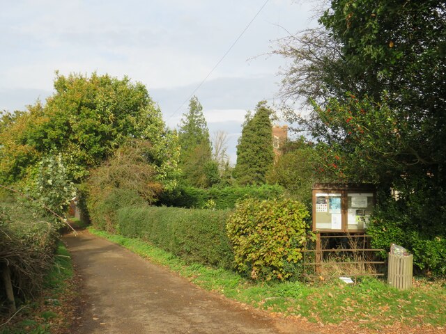
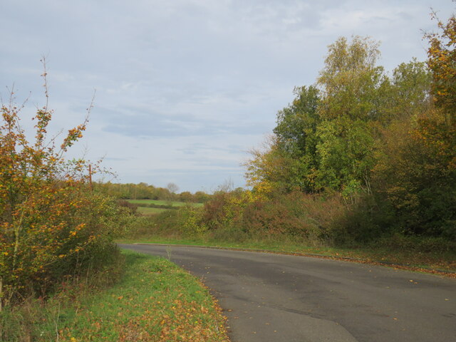
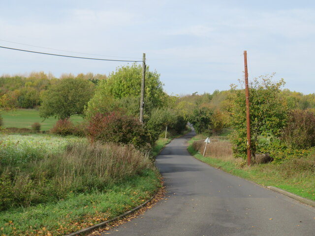
Hopground Spring is a naturally occurring freshwater spring located in the county of Essex, England. Situated within Wood Forest, this spring has long been a popular attraction for both locals and visitors alike.
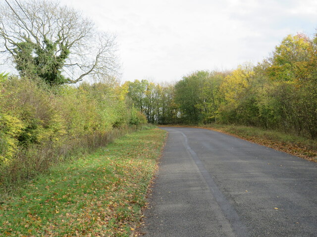
The spring itself emerges from the ground, creating a small pool of crystal-clear water. Surrounded by lush greenery and tall trees, Hopground Spring offers a serene and picturesque setting. The water is renowned for its purity and clarity, making it a perfect spot for wildlife and aquatic plants to thrive.
The area surrounding Hopground Spring is also rich in biodiversity. The forest is home to a variety of flora and fauna, including rare and protected species. Visitors can often spot woodland birds, small mammals, and even the occasional deer or fox in the vicinity.
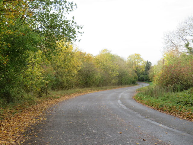
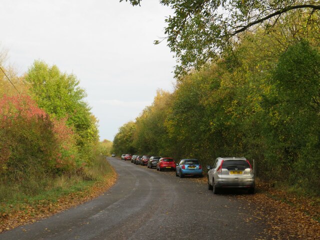
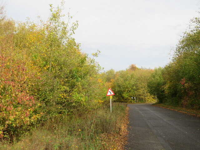
For nature enthusiasts and hikers, Hopground Spring serves as an excellent starting point for exploring Wood Forest. Numerous walking trails crisscross the area, allowing visitors to immerse themselves in the natural beauty and tranquility of the surroundings.
Due to its natural beauty and ecological significance, Hopground Spring has been designated as a Site of Special Scientific Interest (SSSI). This designation ensures the preservation and protection of the spring and its surrounding ecosystem.
Whether one seeks a peaceful retreat or an opportunity to observe nature in its purest form, Hopground Spring in Essex offers a truly remarkable experience. Its pristine waters and the enchanting forest make it a must-visit destination for anyone seeking to connect with the natural world.
If you have any feedback on the listing, please let us know in the comments section below.
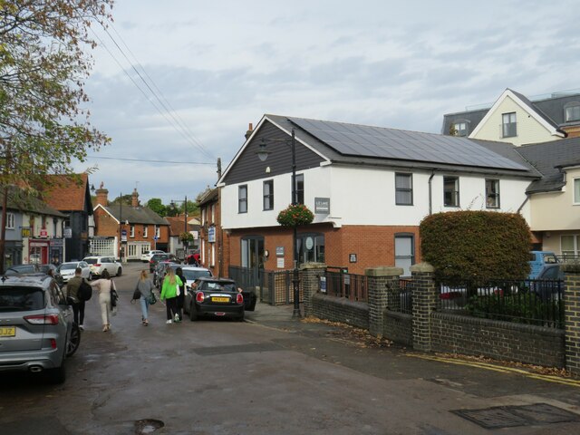
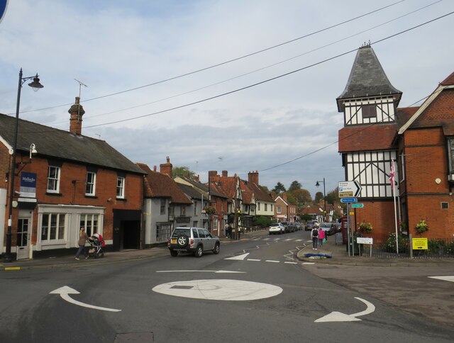
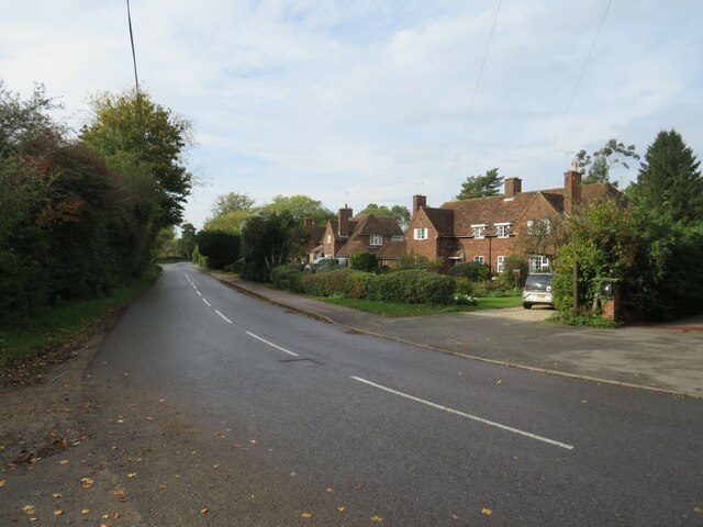
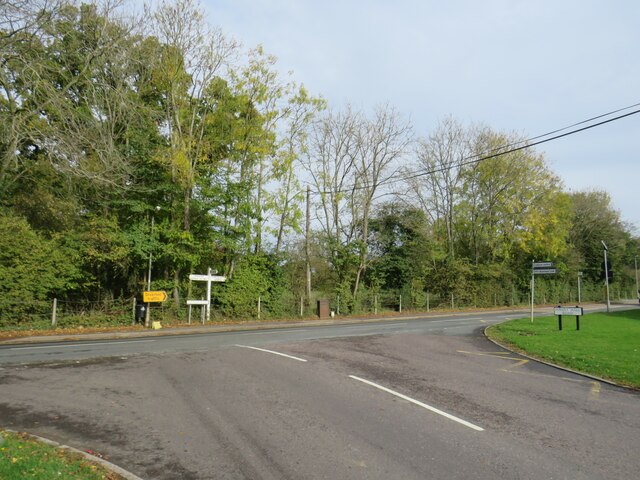
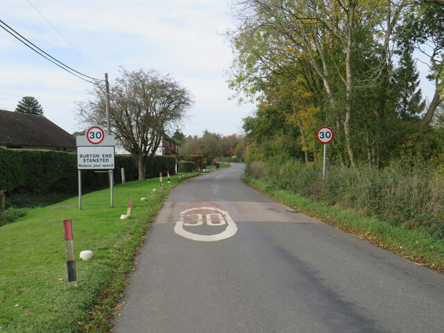
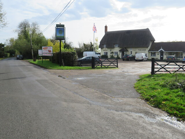
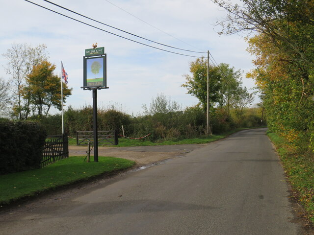
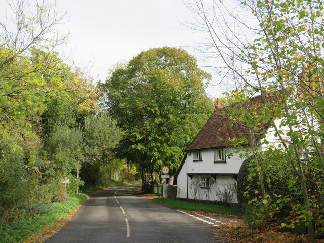
Hopground Spring Images
Images are sourced within 2km of 51.899959/0.21814069 or Grid Reference TL5224. Thanks to Geograph Open Source API. All images are credited.
Hopground Spring is located at Grid Ref: TL5224 (Lat: 51.899959, Lng: 0.21814069)
Administrative County: Essex
District: Uttlesford
Police Authority: Essex
What 3 Words
///episode.misfits.afternoon. Near Stansted Mountfitchet, Essex
Nearby Locations
Related Wikis

Stansted Rural District
Stansted was a rural district in Essex, England from 1894 (1894) to 1934 (1934). It was created under the Local Government Act 1894 from the part of the...
Stansted Hall
Stansted or Steanstead Hall is located in Stansted Mountfitchet, Essex, East of England, United Kingdom. It was the country seat of the Earls of Essex...

Arthur Findlay College
Arthur Findlay College is a college of Spiritualism and psychic sciences at Stansted Hall in Stansted Mountfitchet, Essex, England. Stansted Hall was built...
St Mary the Virgin's Church, Stansted Mountfitchet
St Mary the Virgin's Church is a redundant Anglican church near the village of Stansted Mountfitchet, Essex, England. It is recorded in the National Heritage...
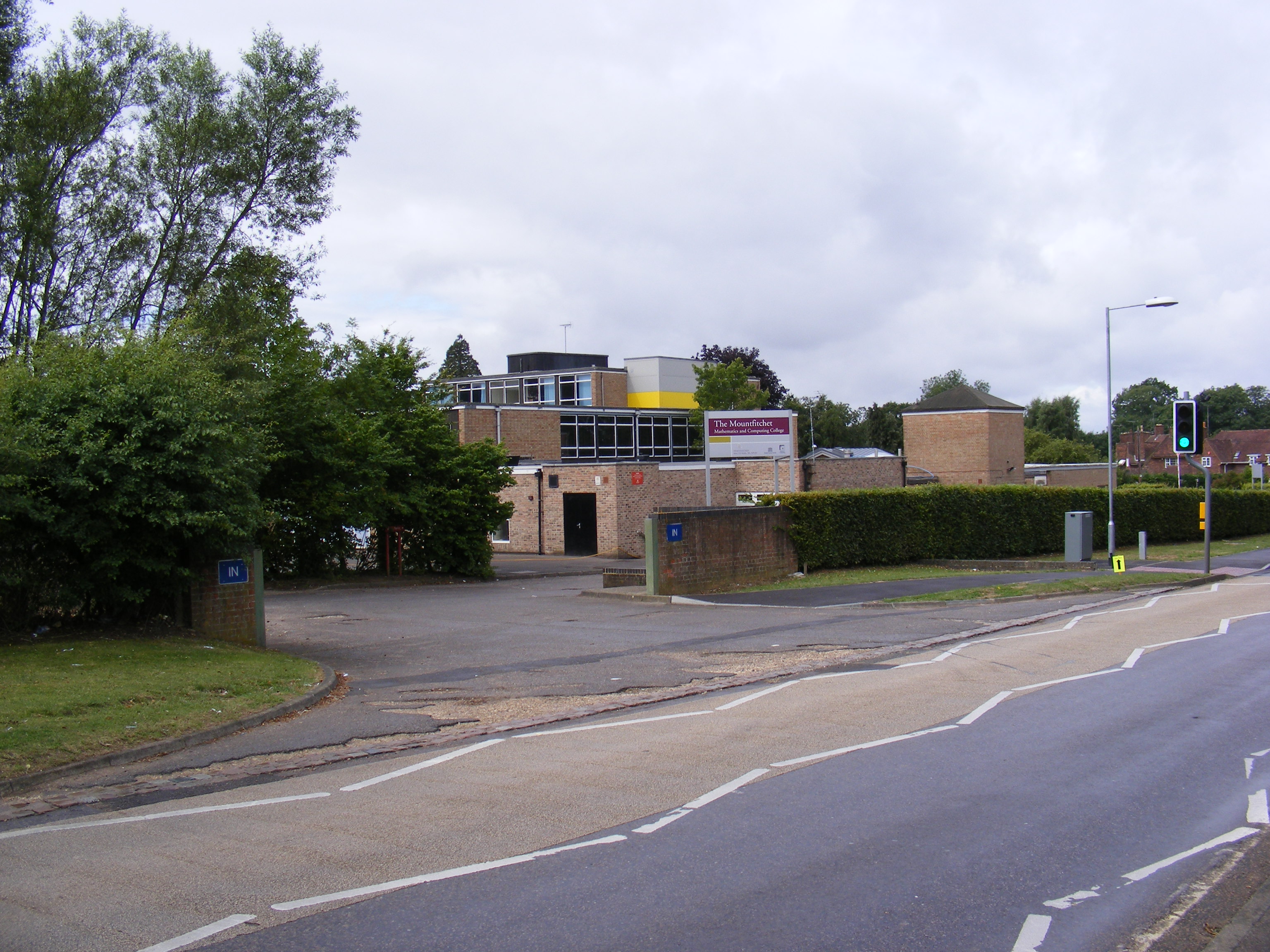
Forest Hall School
Forest Hall School is a coeducational secondary school located in Stansted Mountfitchet, Essex, England. In 2016 64% of students gained at least 5 GCSEs...

Stansted Mountfitchet Castle
Stansted Mountfitchet Castle, also termed simply Mountfitchet Castle, is a Norman ringwork and bailey fortification in Stansted Mountfitchet, Essex, England...
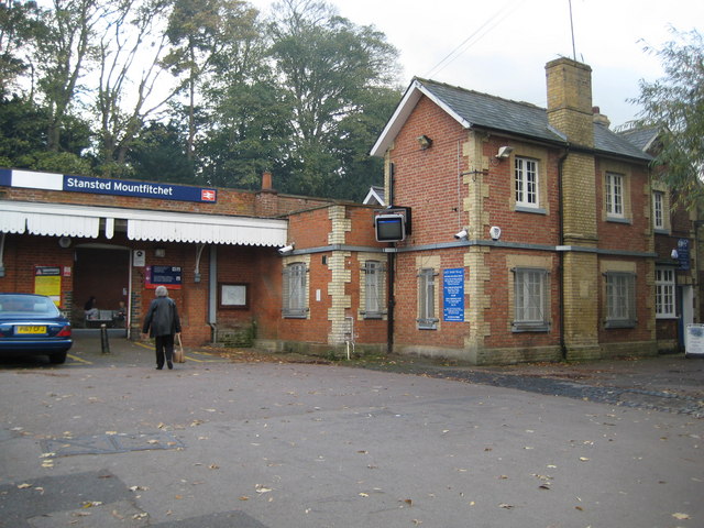
Stansted Mountfitchet railway station
Stansted Mountfitchet railway station is on the West Anglia Main Line serving the village of Stansted Mountfitchet in Essex, England. It is 33 miles 28...

Stansted Mountfitchet
Stansted Mountfitchet is an English village and civil parish in Uttlesford district, Essex, near the Hertfordshire border, 35 miles (56 km) north of London...
Nearby Amenities
Located within 500m of 51.899959,0.21814069Have you been to Hopground Spring?
Leave your review of Hopground Spring below (or comments, questions and feedback).