Buddlewish Shaw
Wood, Forest in Sussex Wealden
England
Buddlewish Shaw
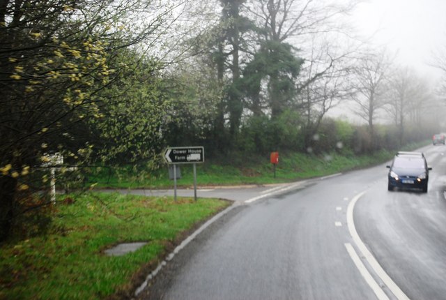
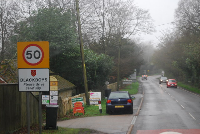
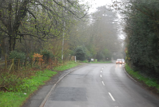
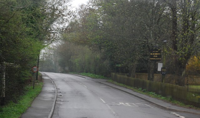
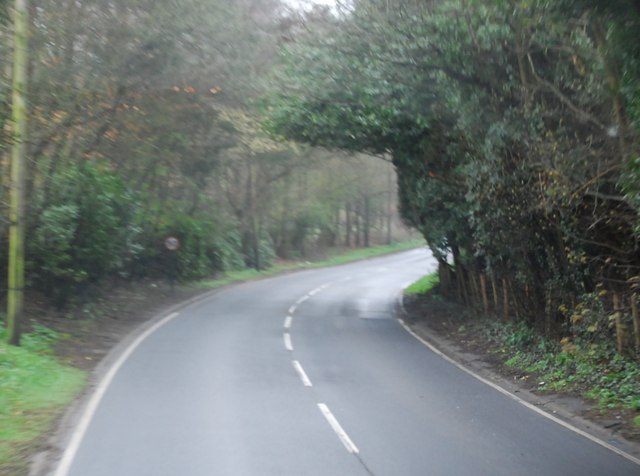
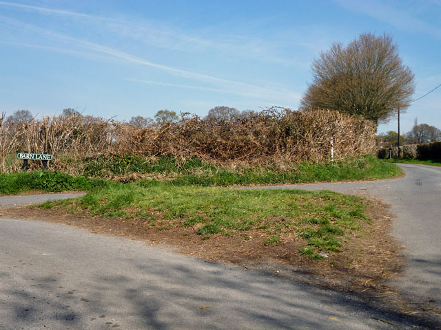
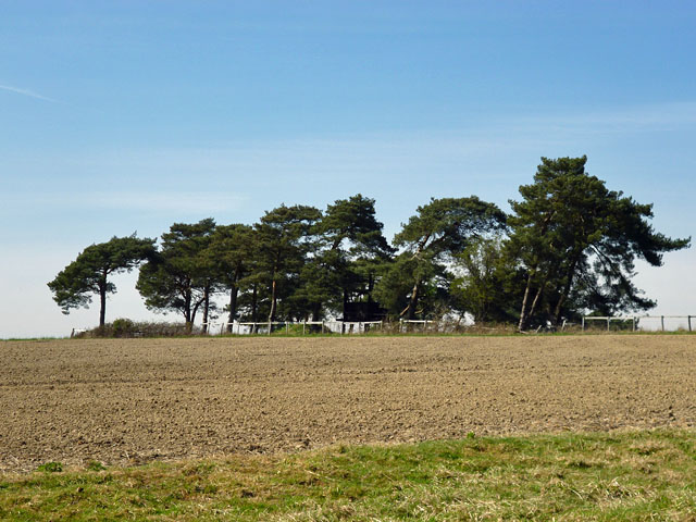
Buddlewish Shaw is a picturesque woodland located in Sussex, England. Situated in a serene and secluded area, it offers a tranquil retreat for nature enthusiasts and outdoor lovers. Covering a vast expanse of land, Buddlewish Shaw is a thriving forest that provides a home to a diverse range of flora and fauna.
The woodland is known for its dense canopy of trees, predominantly consisting of oak, beech, and chestnut. These majestic trees create a mesmerizing sight, especially during autumn when their leaves turn vibrant shades of red, orange, and gold. The forest floor is adorned with a carpet of wildflowers, adding a burst of color to the surroundings.
Buddlewish Shaw is a haven for various wildlife species, including deer, foxes, badgers, and a plethora of bird species. Birdwatchers can spot woodpeckers, owls, and songbirds, among others. The forest also boasts a diverse range of insects and butterflies, making it an ideal spot for entomologists and butterfly enthusiasts.
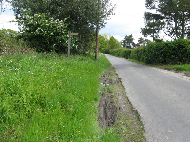
The woodland features several trails and pathways, making it easily accessible for hikers and nature walkers. These trails wind through the forest, offering visitors an opportunity to immerse themselves in the natural beauty and serenity of Buddlewish Shaw. There are also designated picnic areas and benches where visitors can relax and enjoy the peaceful ambiance.
Overall, Buddlewish Shaw in Sussex is a captivating woodland that showcases the beauty of nature. With its diverse ecosystem, stunning scenery, and abundant wildlife, it is a destination that provides a memorable experience for all who visit.
If you have any feedback on the listing, please let us know in the comments section below.
Buddlewish Shaw Images
Images are sourced within 2km of 50.957337/0.16470264 or Grid Reference TQ5219. Thanks to Geograph Open Source API. All images are credited.
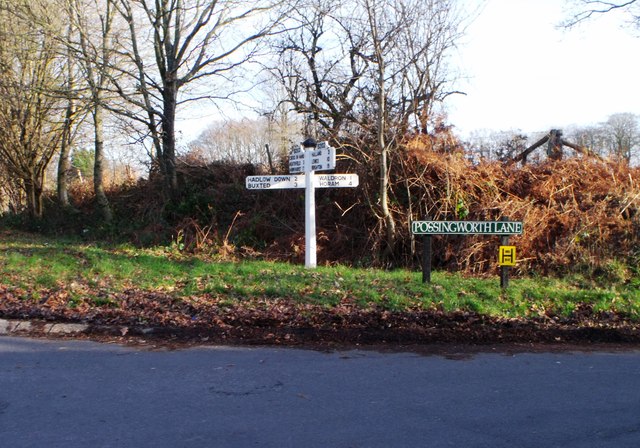
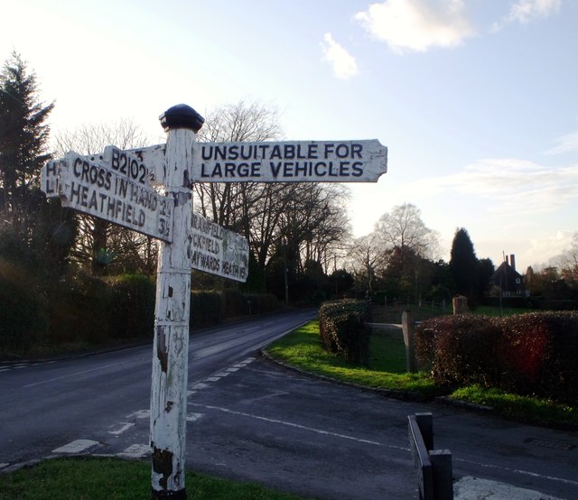
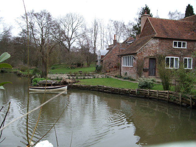
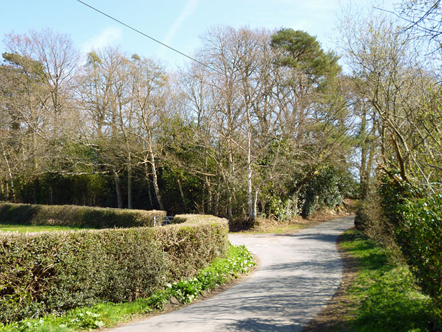

Buddlewish Shaw is located at Grid Ref: TQ5219 (Lat: 50.957337, Lng: 0.16470264)
Administrative County: East Sussex
District: Wealden
Police Authority: Sussex
What 3 Words
///flamingo.stormed.afternoon. Near Buxted, East Sussex
Nearby Locations
Related Wikis

Framfield
Framfield is a village and civil parish in the Wealden District of East Sussex, England. The village is located two miles (3 km) east of Uckfield; the...

Holy Cross Priory, Cross-in-Hand
Holy Cross Priory, Cross-in-Hand, is a priory of the Benedictine Sisters of Grace and Compassion which provides homes for the elderly. It was established...

Roser's Cross
Roser's Cross is a village in the Wealden district of East Sussex.

Selwyns Wood
Selwyns Wood is a 11-hectare (27-acre) nature reserve west of Heathfield in Sussex. It is managed by the Sussex Wildlife Trust.This reserve has woodland...
Etchingwood
Etchingwood is a small cluster of mostly detached properties and farms within the civil parish of Buxted in the Wealden district of East Sussex, England...
Vanguard Way
The Vanguard Way is a long-distance walk of 66.2 mi (106.5 km) from East Croydon station in outer London (OS grid reference TQ328658), travelling from...

Waldron Cutting
Waldron Cutting is a 0.2-hectare (0.49-acre) geological Site of Special Scientific Interest in East Sussex. It is a Geological Conservation Review site...

East Hoathly with Halland
East Hoathly with Halland is a civil parish in the Wealden District of East Sussex, England. The parish contains the two villages of East Hoathly and...
Nearby Amenities
Located within 500m of 50.957337,0.16470264Have you been to Buddlewish Shaw?
Leave your review of Buddlewish Shaw below (or comments, questions and feedback).