The Spinney
Wood, Forest in Kent Sevenoaks
England
The Spinney
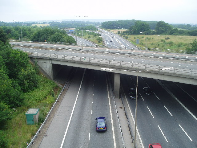
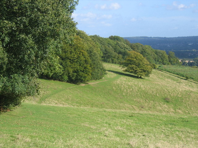
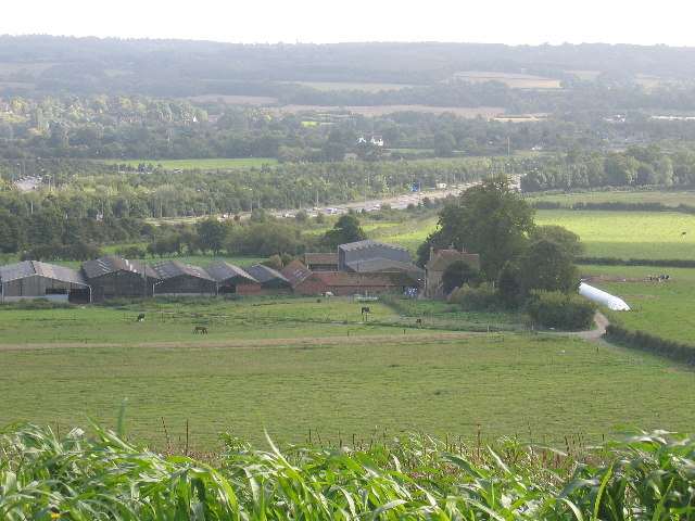
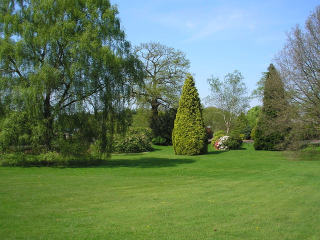
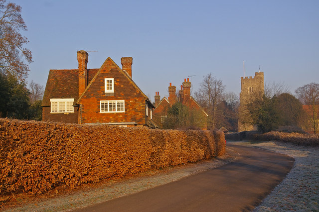
The Spinney, located in Kent, England, is a picturesque woodland area known for its natural beauty and tranquil atmosphere. Spanning over several acres, this enchanting forest is a haven for nature enthusiasts and those seeking a peaceful escape from the bustling city life.
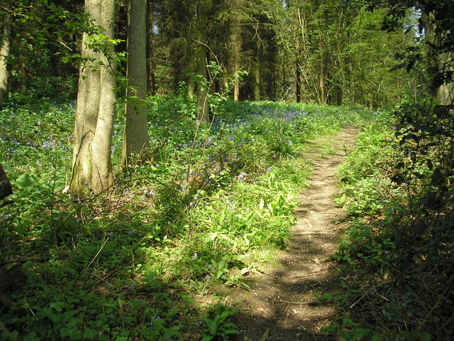
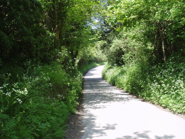
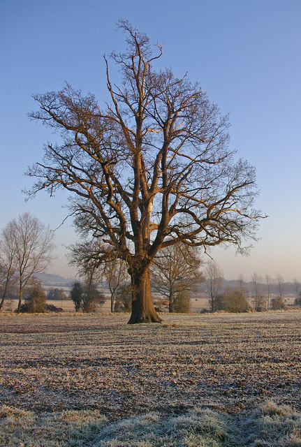
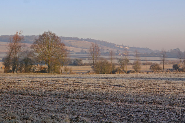
The Spinney is characterized by its dense canopy of trees, creating a shaded and secluded environment. The woodland is primarily composed of deciduous trees such as oak, beech, and chestnut, which provide a diverse range of colors during different seasons. The forest floor is adorned with an array of wildflowers, adding to its captivating charm.
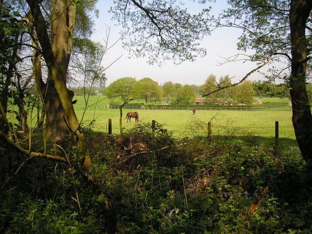
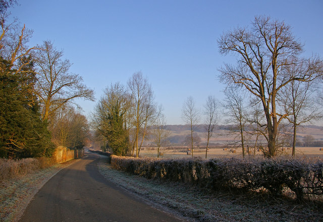
This woodland is a popular destination for hikers, joggers, and nature lovers, offering a network of well-maintained trails that wind through the forest. These paths provide an opportunity to explore the rich biodiversity of the area, with sightings of various wildlife including deer, squirrels, and a wide variety of bird species.
The Spinney is also a favored location for outdoor activities such as picnics, photography, and birdwatching. Its peaceful ambiance and natural beauty make it an ideal spot for relaxation and contemplation. Visitors can find several benches strategically placed throughout the forest, offering a serene setting to immerse themselves in the sights and sounds of nature.
Overall, The Spinney in Kent is a captivating woodland retreat that showcases the beauty of nature. Its abundant flora and fauna, along with its tranquil atmosphere, make it a perfect destination for those seeking solace and a connection with the natural world.
If you have any feedback on the listing, please let us know in the comments section below.
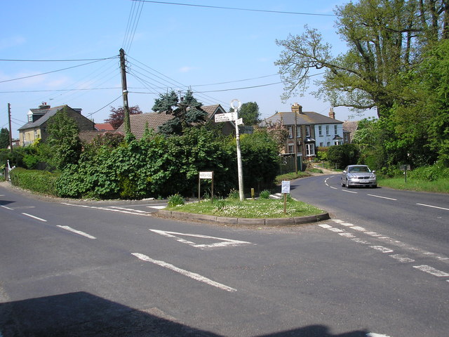
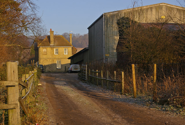
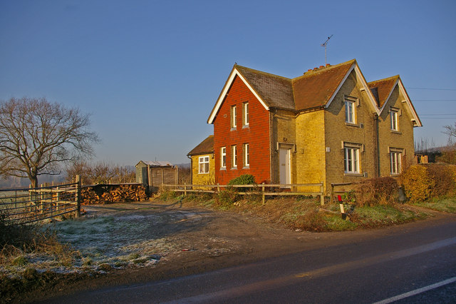
The Spinney Images
Images are sourced within 2km of 51.302795/0.13707562 or Grid Reference TQ4958. Thanks to Geograph Open Source API. All images are credited.
The Spinney is located at Grid Ref: TQ4958 (Lat: 51.302795, Lng: 0.13707562)
Administrative County: Kent
District: Sevenoaks
Police Authority: Kent
What 3 Words
///amber.secure.skills. Near Sundridge, Kent
Nearby Locations
Related Wikis
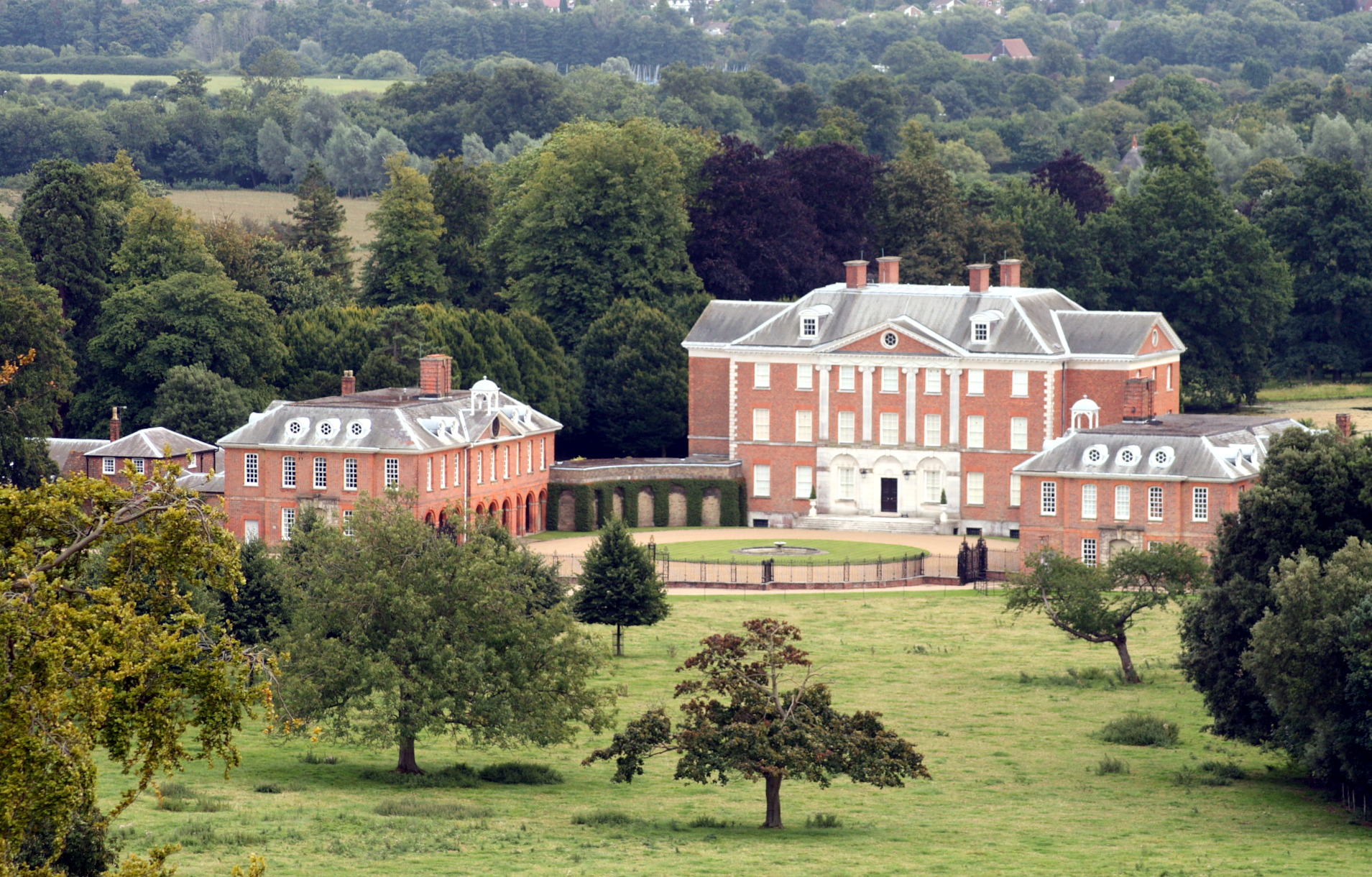
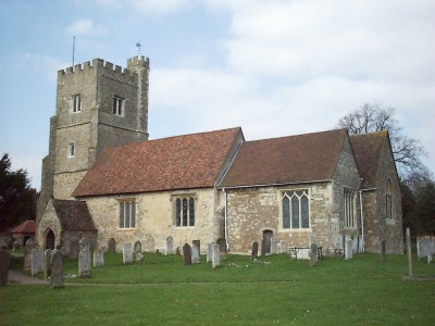
Chevening
Chevening House () is a large country house in the parish of Chevening in Kent, England. Built between 1617 and 1630 to a design reputedly by Inigo Jones...

Chatham Vase
The Chatham Vase is a stone sculpture by John Bacon commissioned as a memorial to William Pitt the Elder by his wife, Hester, Countess of Chatham. It was...

Chevening, Kent
Chevening () is a village and civil parish in the Sevenoaks District of Kent, England. It was the location for the world's earliest known organised cricket...

Fort Halstead
Fort Halstead was a research site of the Defence Science and Technology Laboratory (Dstl), an executive agency of the UK Ministry of Defence. It is situated...

Chevening Halt railway station
Chevening Halt is a now-closed intermediate railway station on the Westerham branch line in Kent. The line was built as single track with provision for...

Polhill Anglo-Saxon cemetery
Polhill Anglo-Saxon cemetery is a place of burial that was used in the seventh and eighth centuries CE. It is located close to the hamlet of Polhill, near...

Chipstead, Kent
Chipstead is a small village within the parish of Chevening in the Sevenoaks District of Kent, England. It lies just west of the town of Sevenoaks and...
Knockholt
Knockholt is a village and civil parish in the Sevenoaks District of Kent, England. It is located 5 mi (8 km) north west of Sevenoaks & 5.7 mi (9.2 km...
Nearby Amenities
Located within 500m of 51.302795,0.13707562Have you been to The Spinney?
Leave your review of The Spinney below (or comments, questions and feedback).