Dutchmore Wood

Wood, Forest in Kent Sevenoaks

England

Dutchmore Wood

M25 Clockwise Situated just behind the Polhill Arms on the A224 this spectacular bridge - a landmark for thousands of travellers each day - carries a small track over the M25 where the motorway itself crosses over the London to Sevenoaks railway
M25 Clockwise Credit: rafflesbear

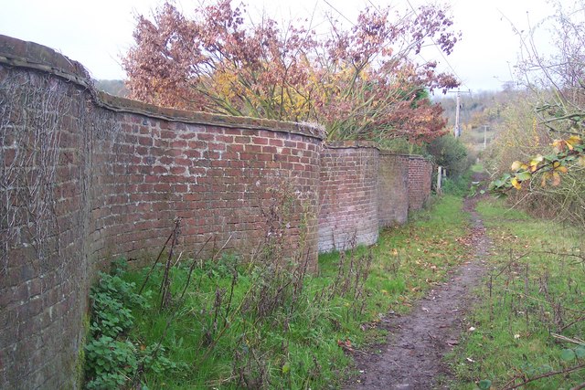
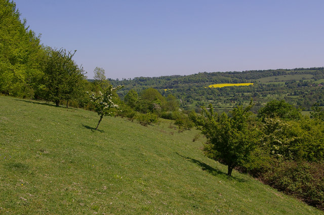
Dutchmore Wood, located in the county of Kent, England, is a picturesque woodland area that is renowned for its natural beauty and tranquil atmosphere. Covering an area of approximately 100 acres, this ancient woodland is a haven for nature enthusiasts, offering a range of flora and fauna to explore and admire.

The wood is primarily composed of deciduous trees, including oak, beech, and ash, which provide a stunning display of colors throughout the changing seasons. The dense canopy created by these trees allows for a cool and shaded environment, perfect for leisurely walks or picnics on hot summer days.

Dutchmore Wood is also home to a variety of wildlife species. Birdwatchers can spot numerous species of birds, including woodpeckers, owls, and thrushes, while those with a keen eye may catch a glimpse of deer, foxes, and rabbits within the undergrowth. Additionally, the woodland floor is adorned with an array of wildflowers and ferns, adding to its natural charm.

Visitors to Dutchmore Wood can enjoy a network of well-maintained footpaths, which wind their way through the wood, allowing for easy exploration of its different areas. The wood is also intersected by a small stream, adding to its idyllic setting.

As a protected nature reserve, Dutchmore Wood is managed by local conservation organizations to ensure the preservation of its unique ecosystem. It is open to the public year-round, providing an opportunity for visitors to reconnect with nature and enjoy the tranquility of this beautiful woodland in the heart of Kent.

If you have any feedback on the listing, please let us know in the comments section below.

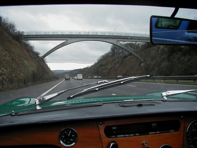
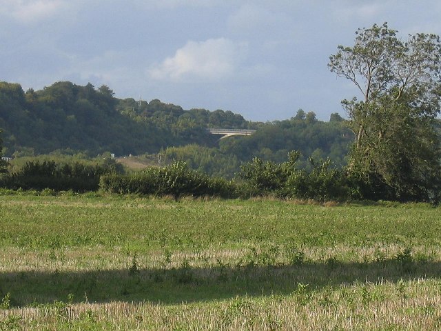
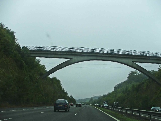
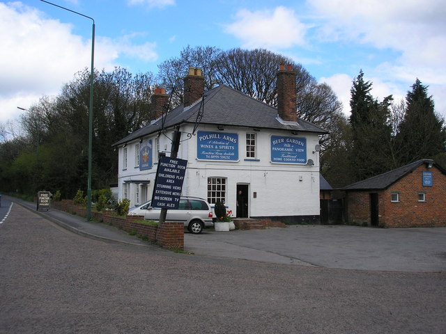
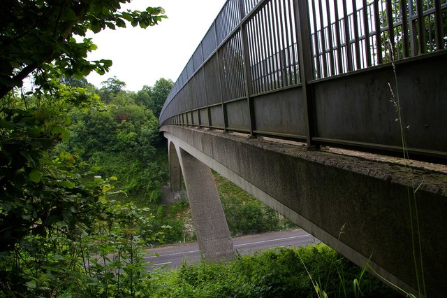
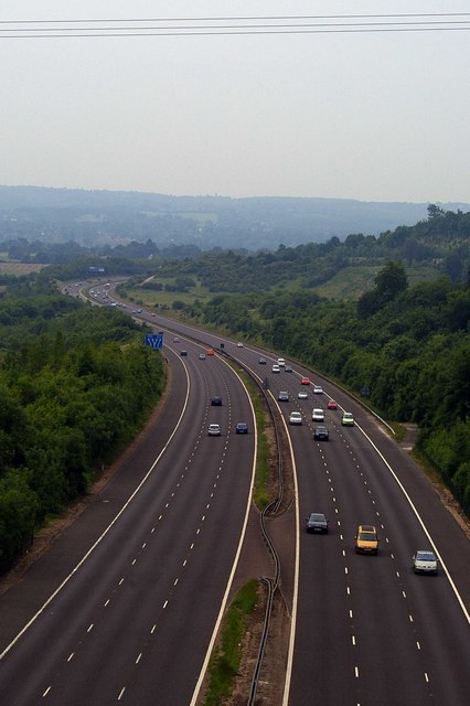
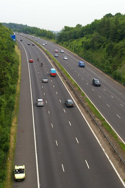
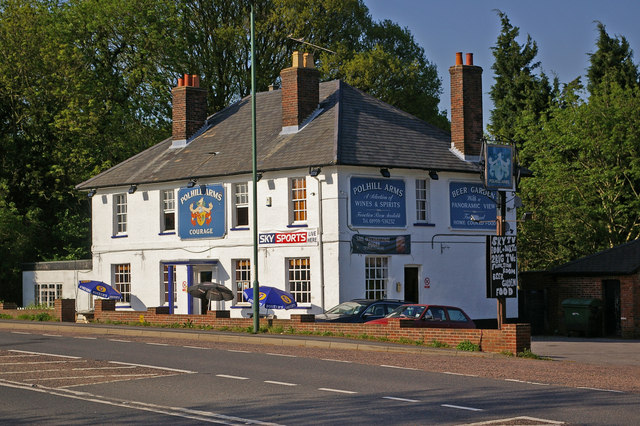
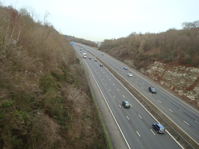
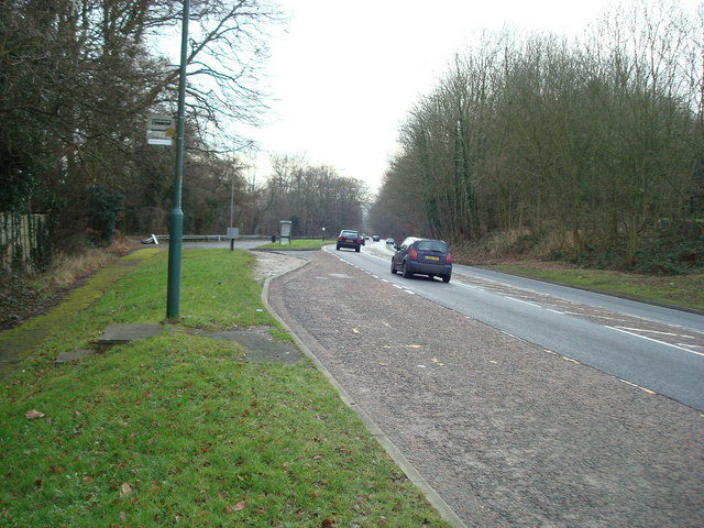
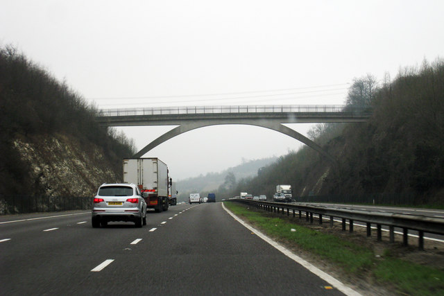
Dutchmore Wood Images

Images are sourced within 2km of 51.30947/0.14435916 or Grid Reference TQ4958. Thanks to Geograph Open Source API. All images are credited.

M25 Clockwise Situated just behind the Polhill Arms on the A224 this spectacular bridge - a landmark for thousands of travellers each day - carries a small track over the M25 where the motorway itself crosses over the London to Sevenoaks railway
M25 Clockwise
Situated just behind the Polhill Arms on the A224 this spectacular bridge - a landmark for thousands of travellers each day - carries a small track over the M25 where the motorway itself crosses over the London to Sevenoaks railway
M25 hidden by trees
M25 hidden by trees
Bridge Over The   M25 This sweeping span carries a bridle path across the M25 near Halstead and Shoreham Kent
Bridge Over The M25
This sweeping span carries a bridle path across the M25 near Halstead and Shoreham Kent
The 'Polhill Arms', near Halstead, Kent The Polhill Arms stands on the A224 (former A21) where it runs very close to the M25 motorway, which bisects this grid square from north to south.  But from the pub, a path run via a footbridge over the motorway, into the lovely Pilots Wood, especially worth a visit at bluebell time.
The 'Polhill Arms', near Halstead, Kent
The Polhill Arms stands on the A224 (former A21) where it runs very close to the M25 motorway, which bisects this grid square from north to south. But from the pub, a path run via a footbridge over the motorway, into the lovely Pilots Wood, especially worth a visit at bluebell time.
Bridle Path Span This bridge carries a bridle path over the M25 it is the only bridge in this area of the Motorway with the supporting arch type of construction. You can see a view of it from the road at <a href="https://www.geograph.org.uk/photo/10406">TQ5060 : M25 Clockwise</a>.
Bridle Path Span
This bridge carries a bridle path over the M25 it is the only bridge in this area of the Motorway with the supporting arch type of construction. You can see a view of it from the road at TQ5060 : M25 Clockwise.
View From The Bridle Path Bridge This is the M25 looking southbound viewed from the bridle path bridge that can be seen in  <a href="https://www.geograph.org.uk/photo/10406">TQ5060 : M25 Clockwise</a>.
View From The Bridle Path Bridge
This is the M25 looking southbound viewed from the bridle path bridge that can be seen in TQ5060 : M25 Clockwise.
M25 Northbound Oh the joys of Classic Car motoring! The MG came to an unscheduled stop a few moments before, northbound on the M25. The shot was taken from

 <a href="https://www.geograph.org.uk/photo/191465">TQ5060 : Bridle Path Span</a>
M25 Northbound
Oh the joys of Classic Car motoring! The MG came to an unscheduled stop a few moments before, northbound on the M25. The shot was taken from TQ5060 : Bridle Path Span
Polhill Bank Nature Reserve Chalk downland managed by the Kent Wildlife Trust (see <a href="https://www.geograph.org.uk/photo/796306">TQ5060 : Polhill Bank Nature Reserve sign</a> for picture of sign)
Polhill Bank Nature Reserve
Chalk downland managed by the Kent Wildlife Trust (see TQ5060 : Polhill Bank Nature Reserve sign for picture of sign)
Polhill Bank Nature Reserve sign Sign at entrance to reserve (see <a href="https://www.geograph.org.uk/photo/796305">TQ5060 : Polhill Bank Nature Reserve</a>).
Polhill Bank Nature Reserve sign
Sign at entrance to reserve (see TQ5060 : Polhill Bank Nature Reserve).
Polhill Arms Compare with <a href="https://www.geograph.org.uk/photo/163651">TQ5060 : The 'Polhill Arms', near Halstead, Kent</a> - it now has a hanging sign, missing from the earlier photo.
Polhill Arms
Compare with TQ5060 : The 'Polhill Arms', near Halstead, Kent - it now has a hanging sign, missing from the earlier photo.
M25, view from Bridlepath, near Halstead, Kent
M25, view from bridlepath near Halstead Kent
Polhill, near Halstead, Kent
Car Dealer, London Road, near Halstead, Kent
Bridge over M25 The M25 is a 117 mile orbital motorway that encircles London. It was constructed between 1975 and 1986.
The motorway is not a continuous loop as a section to the East of London at The Dartford Crossing is an A-Road.
Wikipedia; <span class="nowrap"><a title="http://en.wikipedia.org/wiki/M25_motorway" rel="nofollow ugc noopener" href="http://en.wikipedia.org/wiki/M25_motorway">Link</a><img style="margin-left:2px;" alt="External link" title="External link - shift click to open in new window" src="https://s1.geograph.org.uk/img/external.png" width="10" height="10"/></span>
Bridge over M25
The M25 is a 117 mile orbital motorway that encircles London. It was constructed between 1975 and 1986. The motorway is not a continuous loop as a section to the East of London at The Dartford Crossing is an A-Road. Wikipedia; LinkExternal link
Footpath to Filston Lane This path leads past Sepham Farm from a footpath junction near the farm.
Footpath to Filston Lane
This path leads past Sepham Farm from a footpath junction near the farm.
Curved wall beside Sepham Farm Seen from a footpath towards Filston Lane.
Curved wall beside Sepham Farm
Seen from a footpath towards Filston Lane.
Show me another place!

Dutchmore Wood is located at Grid Ref: TQ4958 (Lat: 51.30947, Lng: 0.14435916)

Administrative County: Kent

District: Sevenoaks

Police Authority: Kent

What 3 Words

///double.host.fence. Near Otford, Kent

Related Wikis

Fort Halstead

Fort Halstead was a research site of the Defence Science and Technology Laboratory (Dstl), an executive agency of the UK Ministry of Defence. It is situated...

Polhill Anglo-Saxon cemetery

Polhill Anglo-Saxon cemetery is a place of burial that was used in the seventh and eighth centuries CE. It is located close to the hamlet of Polhill, near...
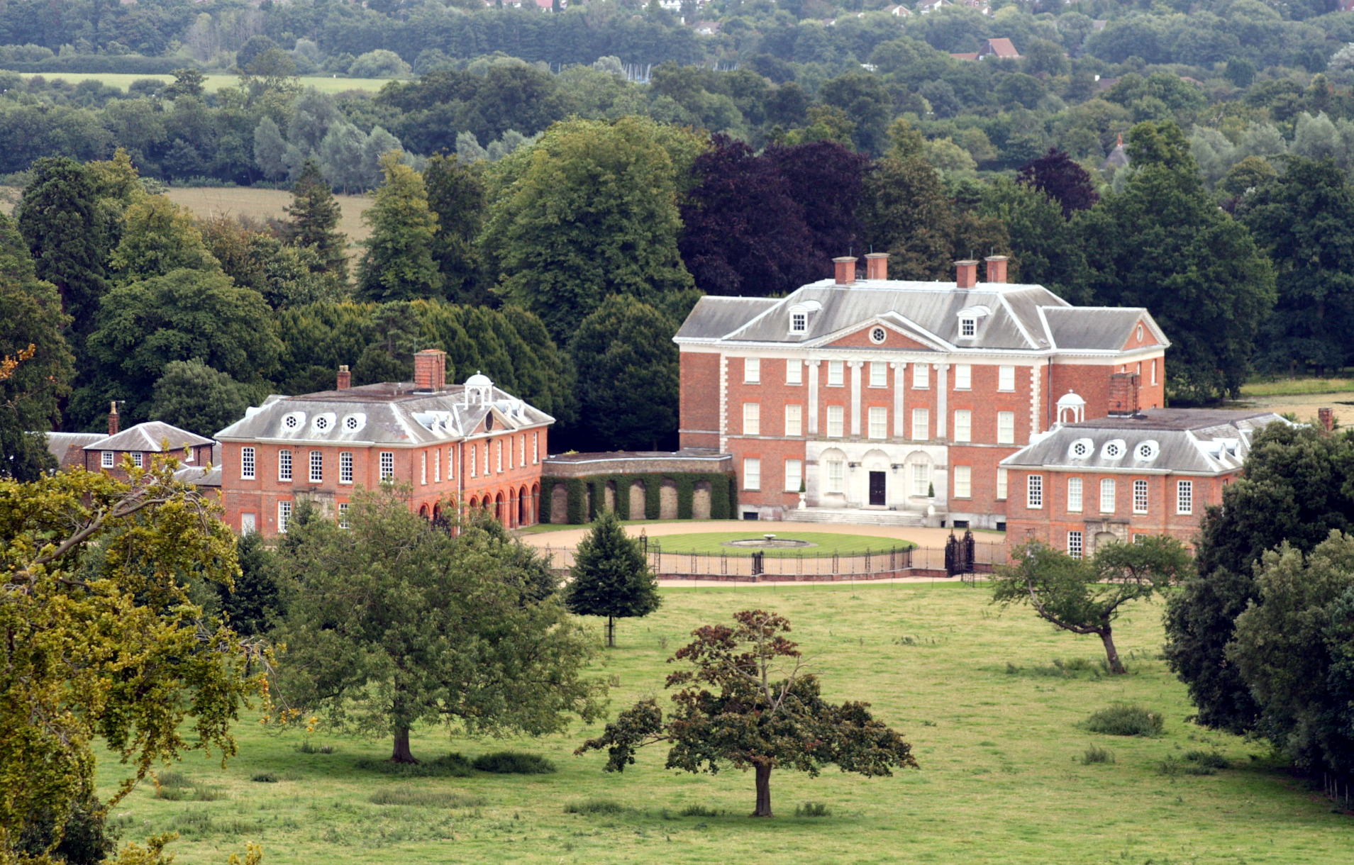
Chevening

Chevening House () is a large country house in the parish of Chevening in Kent, England. Built between 1617 and 1630 to a design reputedly by Inigo Jones...

Chatham Vase

The Chatham Vase is a stone sculpture by John Bacon commissioned as a memorial to William Pitt the Elder by his wife, Hester, Countess of Chatham. It was...

Chevening, Kent

Chevening () is a village and civil parish in the Sevenoaks District of Kent, England. It was the location for the world's earliest known organised cricket...

Chevening Halt railway station

Chevening Halt is a now-closed intermediate railway station on the Westerham branch line in Kent. The line was built as single track with provision for...
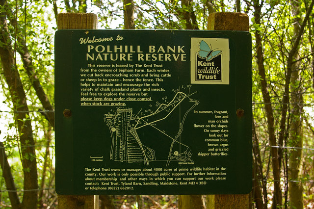
Polhill Bank

Polhill Bank is a 4-hectare (9.9-acre) nature reserve south of Shoreham, which is north of Sevenoaks in Kent. It is managed by Kent Wildlife Trust. It...

Dunton Green railway station

Dunton Green railway station is on the South Eastern Main Line in England, serving the village of Dunton Green, Kent. It is 20 miles 46 chains (33.1 km...

Nearby Amenities

Located within 500m of 51.30947,0.14435916
Bus Stop
Star Hill Road
Naptan AtcoCode: 2400A034510A
Naptan Bearing: SE
Naptan CommonName: Star Hill Road
Naptan Indicator: SE-bound
Naptan Landmark: Fort Halstead
Naptan NaptanCode: kntdmdmp
Naptan Street: Star Hill Road
Naptan Verified: no
Public Transport: platform
Source: naptan_import
Lat/Long: 51.3093387/0.1372754
Tourism: viewpoint
Lat/Long: 51.3051612/0.1428643
Barrier: kissing_gate
Foot: yes
Lat/Long: 51.3059503/0.1414333
Bench
Backrest: yes
Colour: brown
Material: wood
Seats: 3
Lat/Long: 51.3051421/0.1429445
Star Hill
Natural: peak
Lat/Long: 51.3098983/0.1396634
Barrier: stile
Lat/Long: 51.3067642/0.146388
The data included in this document is from www.openstreetmap.org. The data is made available under ODbL.

Have you been to Dutchmore Wood?

Leave your review of Dutchmore Wood below (or comments, questions and feedback).