Front Wood
Wood, Forest in Sussex Wealden
England
Front Wood
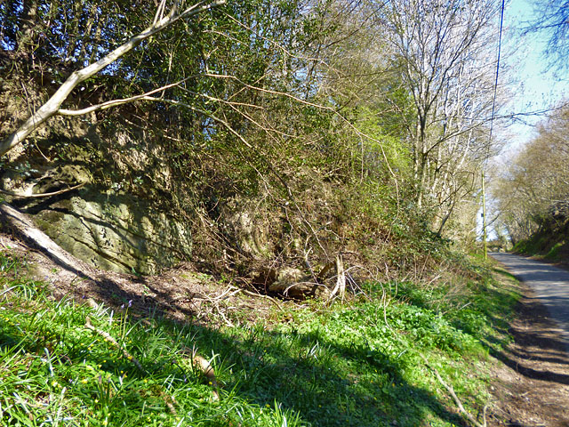
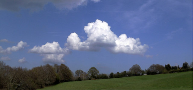
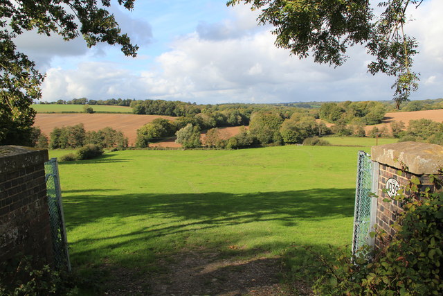
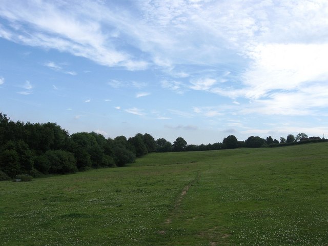
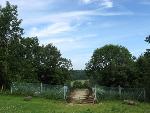
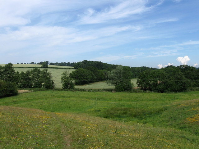
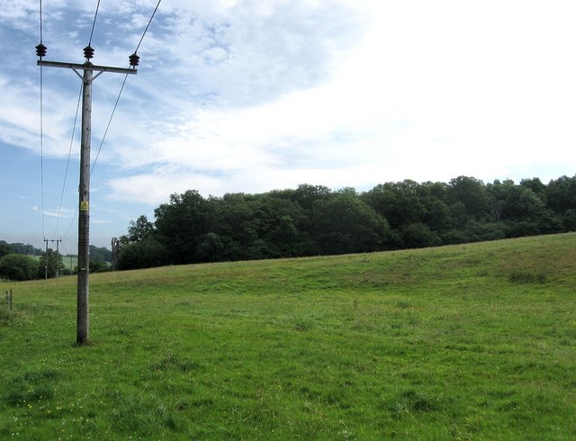
Front Wood is a picturesque woodland located in Sussex, England. It covers an area of approximately 50 acres and is situated on the outskirts of a small village. The wood is predominantly made up of deciduous trees, such as oak, beech, and birch, creating a diverse and vibrant landscape.
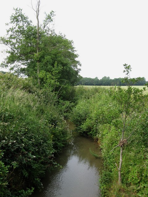
The woodland is known for its rich biodiversity, providing a habitat for a wide range of flora and fauna. It is home to various species of birds, including woodpeckers, thrushes, and owls, making it a popular spot for birdwatching enthusiasts. Small mammals like foxes, badgers, and squirrels can also be spotted in the area.
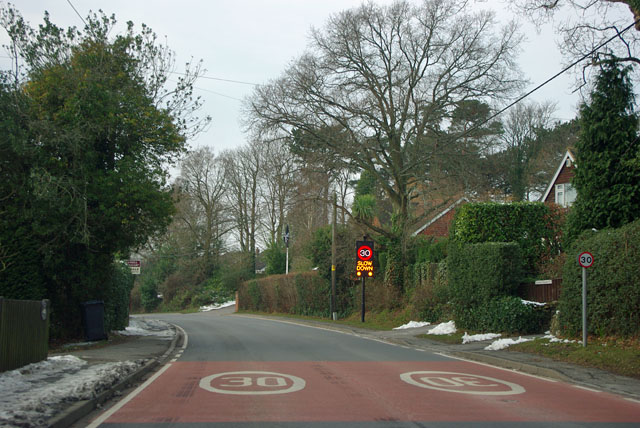
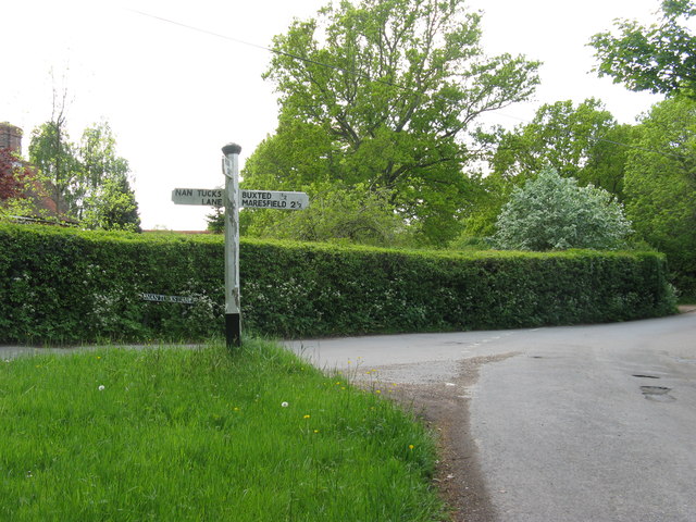
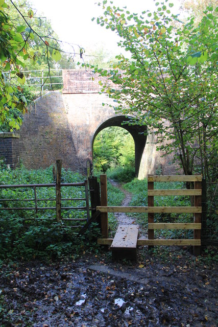
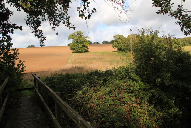
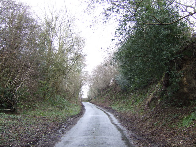
Front Wood offers a tranquil escape from the hustle and bustle of everyday life. It provides ample opportunities for leisurely walks, picnics, and nature exploration. The wood has well-maintained footpaths that meander through the trees, allowing visitors to fully immerse themselves in the natural beauty of the surroundings.
In spring, the woodland floor is carpeted with bluebells, creating a breathtaking sight and attracting many nature lovers. During autumn, the trees display a stunning array of colors, turning the wood into a vibrant canvas of reds, oranges, and yellows.
Front Wood is easily accessible, with a small parking area available for visitors. It is managed by the local council, ensuring its preservation and protection for future generations to enjoy.
If you have any feedback on the listing, please let us know in the comments section below.
Front Wood Images
Images are sourced within 2km of 51.000342/0.12169306 or Grid Reference TQ4824. Thanks to Geograph Open Source API. All images are credited.


Front Wood is located at Grid Ref: TQ4824 (Lat: 51.000342, Lng: 0.12169306)
Administrative County: East Sussex
District: Wealden
Police Authority: Sussex
What 3 Words
///waddled.replaces.promotion. Near Buxted, East Sussex
Nearby Locations
Related Wikis

Five Ash Down
Five Ash Down is a small village within the civil parish of Buxted, in the Wealden district of East Sussex, England. Its nearest town is Uckfield, which...

Buxted
Buxted is a village and civil parish in the Wealden district of East Sussex in England. The parish is situated on the Weald, north of Uckfield; the settlements...

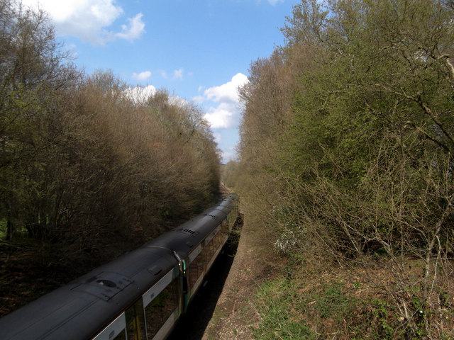
Buxted railway station
Buxted railway station is on the Uckfield branch of the Oxted Line in England, serving the village of Buxted, East Sussex. It is 43 miles 68 chains (70...

St Margaret the Queen, Buxted
The Church of St Margaret the Queen is a grade I listed building in Buxted Park, East Sussex, England. It is dedicated to Saint Margaret of Scotland, an...

Cooper's Green
Cooper's Green is a village in the civil parish of Buxted in the Wealden district of East Sussex, England. Its nearest town is Uckfield, which lies approximately...

Buxted Park
Buxted Park is an 84.7 hectare (206.16 acre) biological Site of Special Scientific Interest, located near the village of Buxted, East Sussex, England....

High Hurstwood
High Hurstwood is a village in the Wealden district of East Sussex. == External links == High Hurstwood village history Holy Trinity Church, High Hurstwood...
Richard Hill (RAF officer)
Lieutenant Richard Frank Hill (28 April 1899 – 17 September 1918) was a British World War I flying ace credited with seven aerial victories. == Biography... ==
Nearby Amenities
Located within 500m of 51.000342,0.12169306Have you been to Front Wood?
Leave your review of Front Wood below (or comments, questions and feedback).