Larch Plantation
Wood, Forest in Sussex Wealden
England
Larch Plantation
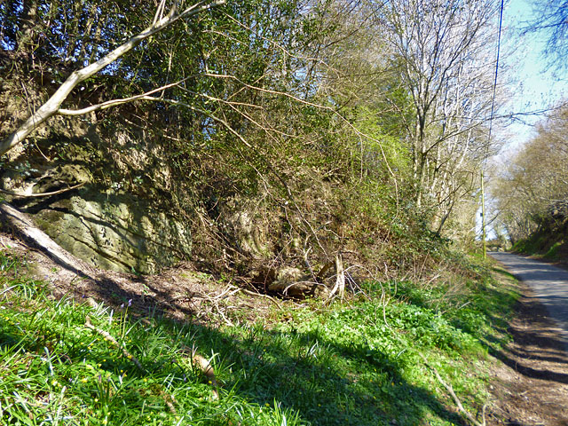
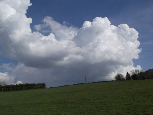
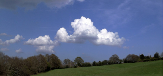
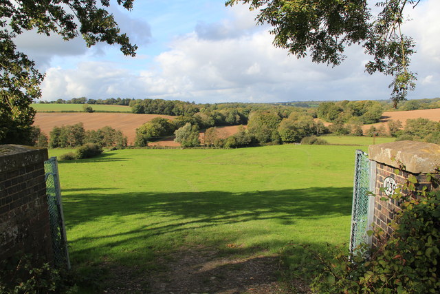
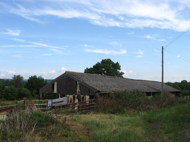
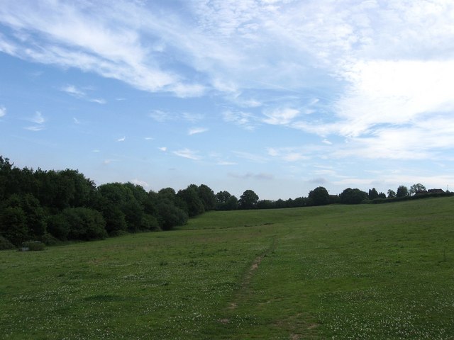
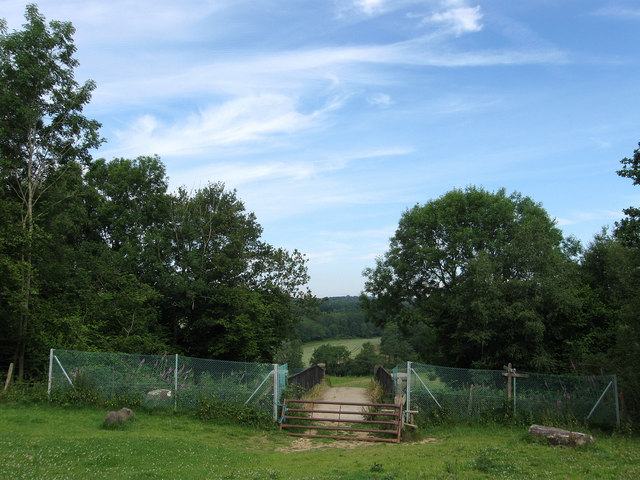
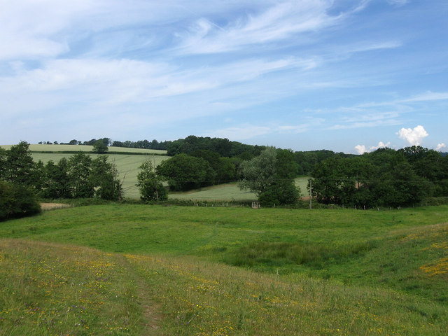
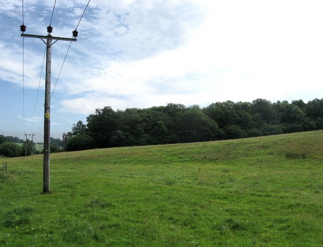
Larch Plantation is a picturesque woodland located in Sussex, England. Spanning across a vast area, the plantation is known for its dense growth of larch trees, which dominate the landscape. It is a popular destination for nature enthusiasts, photographers, and hikers who seek tranquility and stunning vistas.
The plantation boasts a rich history, with the first larch trees being planted in the early 19th century. Larch trees are known for their unique beauty, characterized by their tall, straight trunks and delicate, needle-like leaves. These trees provide a breathtaking display of golden foliage during autumn, attracting visitors from far and wide.
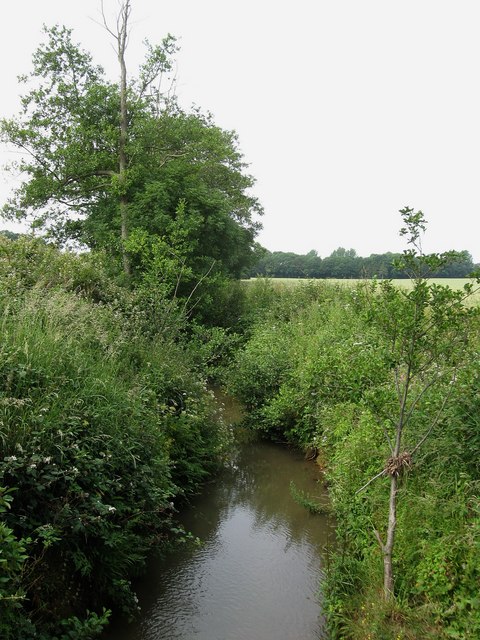
The woodland is home to a diverse array of wildlife, making it a haven for nature lovers. Bird enthusiasts can spot various species, including woodpeckers, owls, and thrushes. Squirrels and rabbits are also commonly sighted, adding to the charm of the plantation.
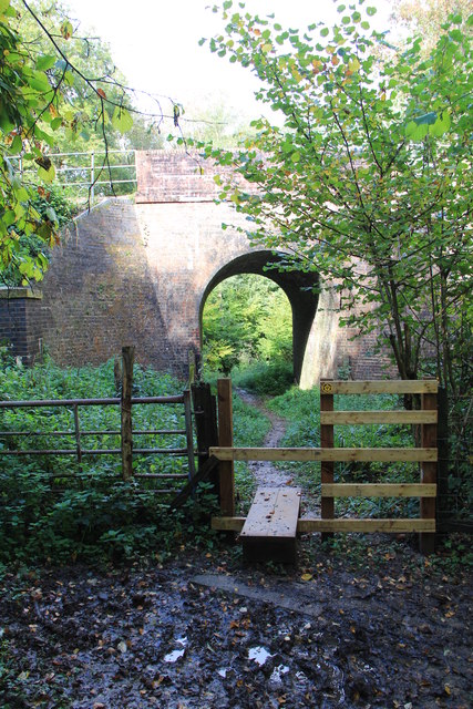
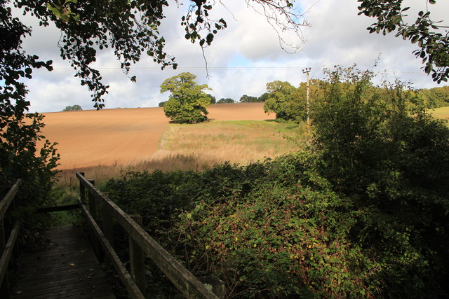
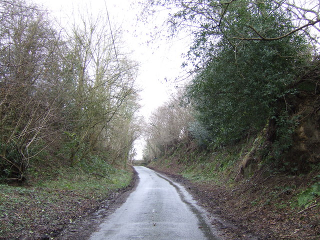
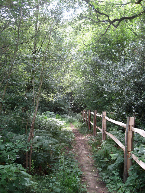
Larch Plantation offers a range of walking trails, allowing visitors to explore its natural beauty at their own pace. The well-maintained paths wind through the forest, offering glimpses of hidden ponds, enchanting wildflowers, and ancient oak trees. The plantation also provides benches and picnic areas, encouraging visitors to relax and enjoy the peaceful surroundings.
Throughout the year, Larch Plantation hosts various events and workshops, including guided nature walks and photography classes. These activities provide an opportunity for people of all ages to learn about the importance of conservation and appreciate the wonders of the natural world.
In conclusion, Larch Plantation in Sussex is a captivating woodland that offers a tranquil escape from the hustle and bustle of everyday life. With its stunning larch trees, diverse wildlife, and well-maintained trails, it is a must-visit destination for anyone seeking solace in nature.
If you have any feedback on the listing, please let us know in the comments section below.
Larch Plantation Images
Images are sourced within 2km of 51.004413/0.11937009 or Grid Reference TQ4824. Thanks to Geograph Open Source API. All images are credited.


Larch Plantation is located at Grid Ref: TQ4824 (Lat: 51.004413, Lng: 0.11937009)
Administrative County: East Sussex
District: Wealden
Police Authority: Sussex
What 3 Words
///freshen.butternut.chemistry. Near Buxted, East Sussex
Nearby Locations
Related Wikis

Five Ash Down
Five Ash Down is a small village within the civil parish of Buxted, in the Wealden district of East Sussex, England. Its nearest town is Uckfield, which...

High Hurstwood
High Hurstwood is a village in the Wealden district of East Sussex. == External links == High Hurstwood village history Holy Trinity Church, High Hurstwood...

Buxted Park
Buxted Park is an 84.7 hectare (206.16 acre) biological Site of Special Scientific Interest, located near the village of Buxted, East Sussex, England....

Buxted
Buxted is a village and civil parish in the Wealden district of East Sussex in England. The parish is situated on the Weald, north of Uckfield; the settlements...
Richard Hill (RAF officer)
Lieutenant Richard Frank Hill (28 April 1899 – 17 September 1918) was a British World War I flying ace credited with seven aerial victories. == Biography... ==

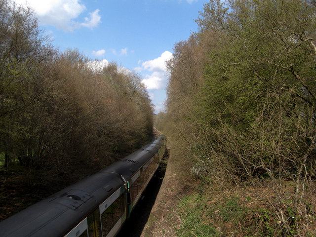
Buxted railway station
Buxted railway station is on the Uckfield branch of the Oxted Line in England, serving the village of Buxted, East Sussex. It is 43 miles 68 chains (70...

Cooper's Green
Cooper's Green is a village in the civil parish of Buxted in the Wealden district of East Sussex, England. Its nearest town is Uckfield, which lies approximately...

St Margaret the Queen, Buxted
The Church of St Margaret the Queen is a grade I listed building in Buxted Park, East Sussex, England. It is dedicated to Saint Margaret of Scotland, an...
Related Videos

Walking Around my Local Area During Lockdown
Walking around my local area. I went to my local area and made myself a cup of coffee using the Jetboil Flash. My Channel: ...

Phoenix Health Hub Uckfield in 2023
Walking through what the Phoenix Health Hub has to offer in 2023. Chiropractic Massage Yoga Pilates Posture Classes Kids ...

Zempire Aero TXL Pro For Sale
For sale in East Sussex, great family tent. Reluctantly selling as have bought a Caravan.
Nearby Amenities
Located within 500m of 51.004413,0.11937009Have you been to Larch Plantation?
Leave your review of Larch Plantation below (or comments, questions and feedback).