Burl's Spring
Wood, Forest in Essex Uttlesford
England
Burl's Spring

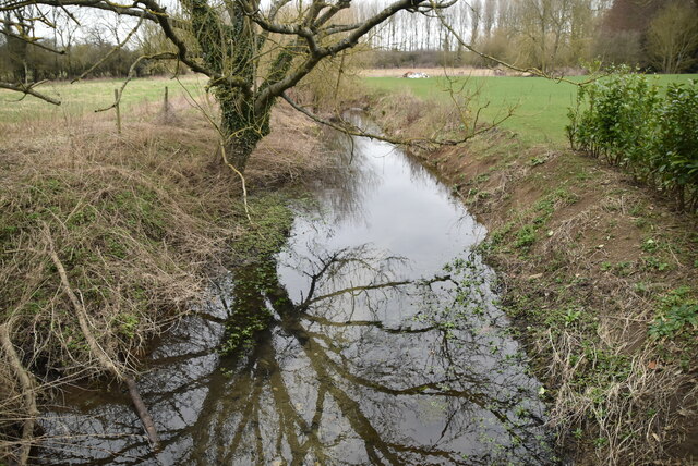
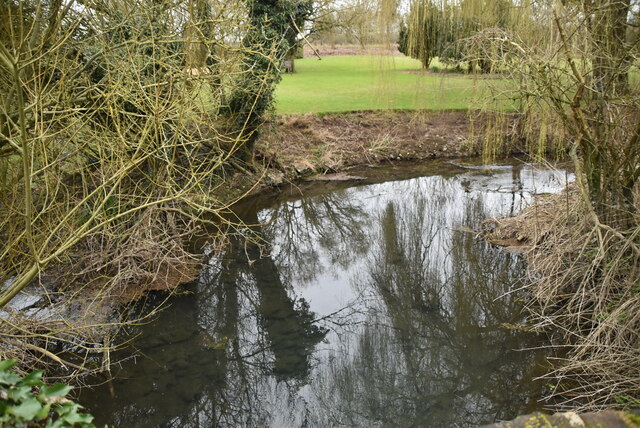
Burl's Spring is a picturesque natural spring located in the rural county of Essex, England. Nestled within the enchanting Wood Forest, this hidden gem attracts nature enthusiasts and curious visitors from far and wide.
The spring itself is a small, crystal-clear body of water that emerges from beneath the ground, creating a serene and tranquil atmosphere. Surrounded by lush greenery, including towering oak and beech trees, the area is a haven for wildlife and a perfect spot for picnics and leisurely walks.
The Wood Forest, where Burl's Spring is situated, is known for its diverse flora and fauna. The forest is home to a variety of bird species, including woodpeckers and owls, making it a popular destination for birdwatchers. The ancient trees serve as a natural habitat for squirrels, rabbits, and other small mammals, adding to the charm and tranquility of the area.
Visitors to Burl's Spring can explore the surrounding woodland trails, taking in the fresh scents of pine and earth as they meander through the forest. The spring itself is easily accessible, with a well-maintained pathway leading to its picturesque location. Many visitors choose to bring a picnic and enjoy the peaceful surroundings, or simply sit by the spring and listen to the soothing sounds of water trickling through the rocks.
Burl's Spring offers a serene and untouched natural beauty, providing a much-needed escape from the hustle and bustle of everyday life. Whether it's for a day of relaxation or an opportunity to reconnect with nature, this idyllic spot in Essex is a must-visit for those seeking tranquility and natural splendor.
If you have any feedback on the listing, please let us know in the comments section below.
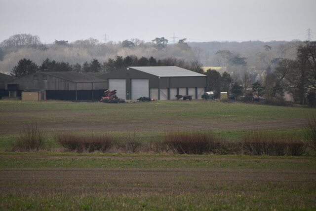
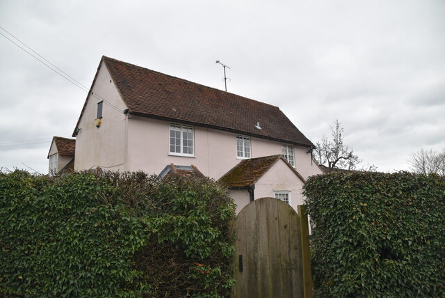
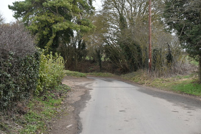
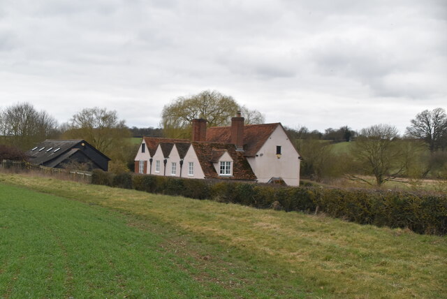
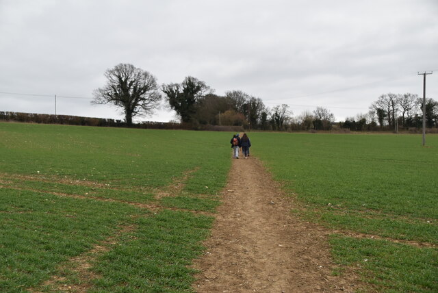
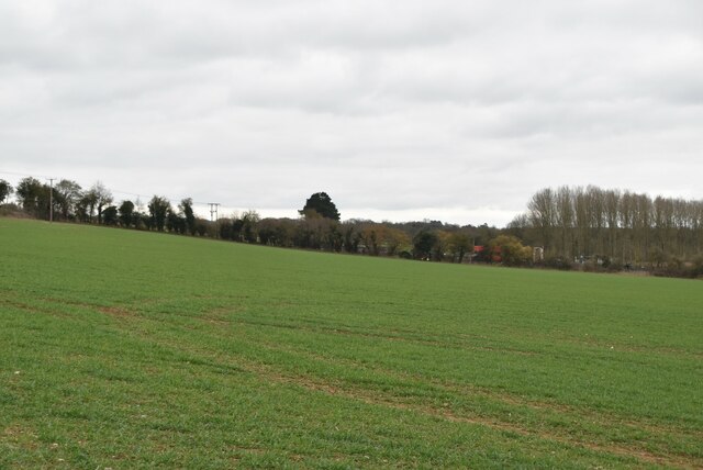
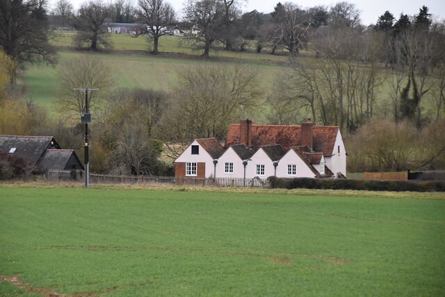
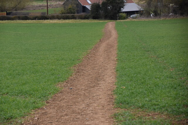
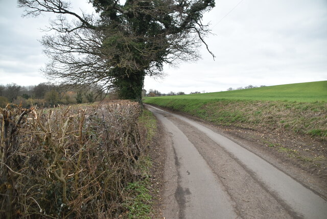
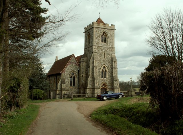
Burl's Spring Images
Images are sourced within 2km of 51.911609/0.16427701 or Grid Reference TL4825. Thanks to Geograph Open Source API. All images are credited.


Burl's Spring is located at Grid Ref: TL4825 (Lat: 51.911609, Lng: 0.16427701)
Administrative County: Essex
District: Uttlesford
Police Authority: Essex
What 3 Words
///appoints.optimists.remote. Near Stansted Mountfitchet, Essex
Nearby Locations
Related Wikis

Manuden
Manuden is a village and civil parish in the Uttlesford district of Essex, England. It is located around 3+1⁄2 miles (6 km) north of Bishop's Stortford...

Bentfield Bury
Bentfield Bury is a small village in Essex, England. It is one of over 100 villages in the district of Uttlesford and is within Stansted Mountfitchet parish...
Bentfield Green
Bentfield Green is an area of common land and settlement in the village of Stansted Mountfitchet, in the civil parish of Stansted Mountfitchet, in the...
Farnham, Essex
Farnham is a small village in Essex, England, situated near Bishop's Stortford. The main features are Farnham Church of England Primary School, the church...
Stansted F.C.
Stansted Football Club is an English football club based in Stansted Mountfitchet, Essex. The club are currently members of the Spartan South Midlands...

Stansted Mountfitchet Windmill
Stansted Mountfitchet Windmill is a grade II* listed Tower mill at Stansted Mountfitchet, Essex, England which is also a Scheduled Ancient Monument. It...

Stansted Mountfitchet Castle
Stansted Mountfitchet Castle, also termed simply Mountfitchet Castle, is a Norman ringwork and bailey fortification in Stansted Mountfitchet, Essex, England...
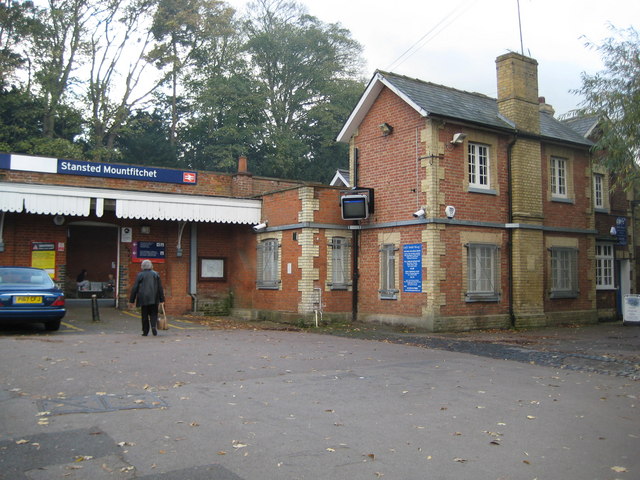
Stansted Mountfitchet railway station
Stansted Mountfitchet railway station is on the West Anglia Main Line serving the village of Stansted Mountfitchet in Essex, England. It is 33 miles 28...
Nearby Amenities
Located within 500m of 51.911609,0.16427701Have you been to Burl's Spring?
Leave your review of Burl's Spring below (or comments, questions and feedback).