Hempstead Wood

Wood, Forest in Sussex Wealden

England

Hempstead Wood

House on Streele Lane The maps have this as Hobbs Barton Farm, but also use this term for farm buildings some way south down the lane by the house of Hobbs Barton.
House on Streele Lane Credit: Robin Webster

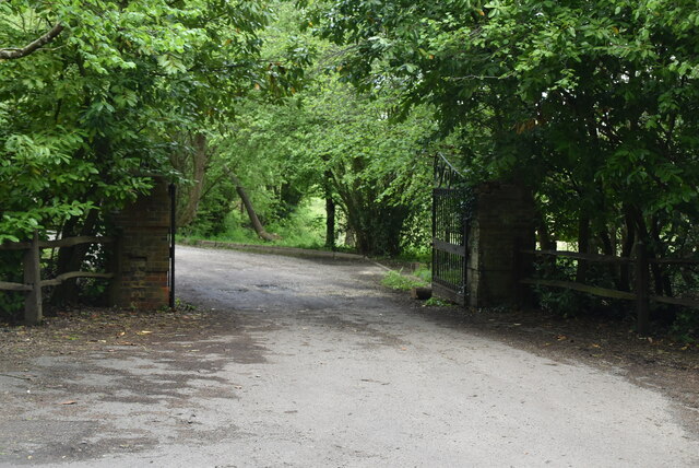
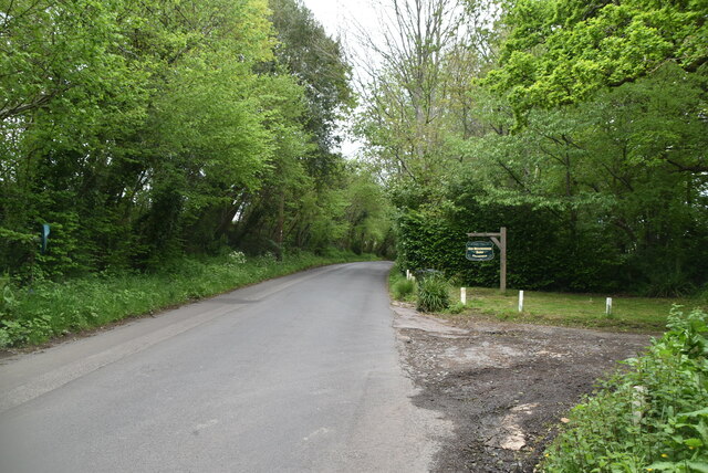
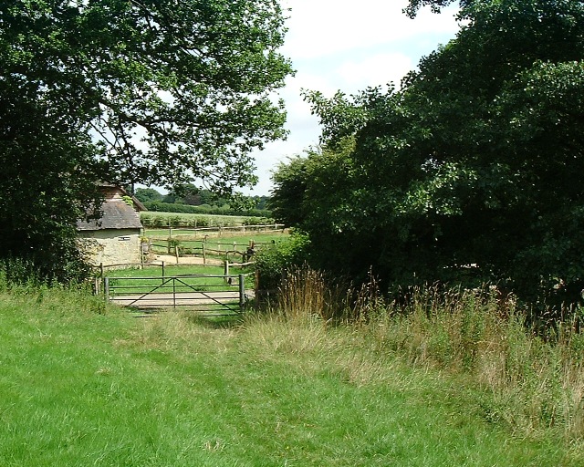
Hempstead Wood is a picturesque forest nestled in the county of Sussex, England. Encompassing an area of approximately 500 acres, this sprawling woodland offers a tranquil escape from the bustling towns and cities nearby. The forest is located just a few miles east of the town of Horsham and is easily accessible by road, making it a popular destination for nature enthusiasts and hikers.

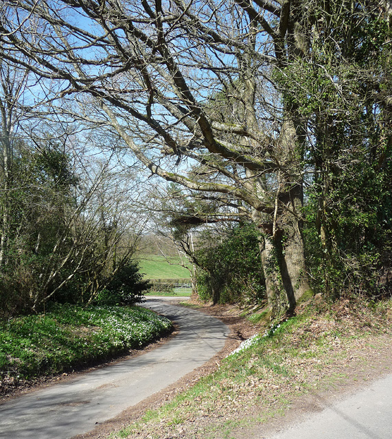
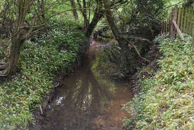
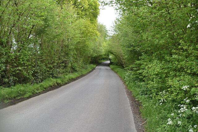
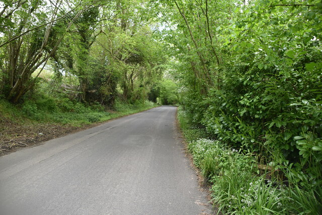
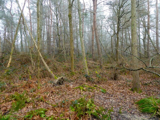
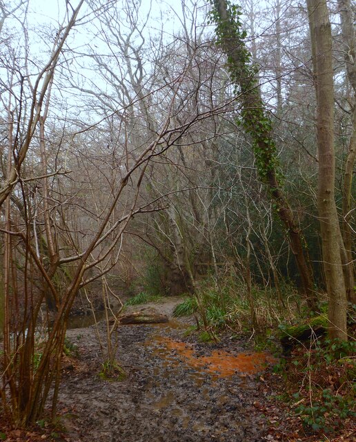
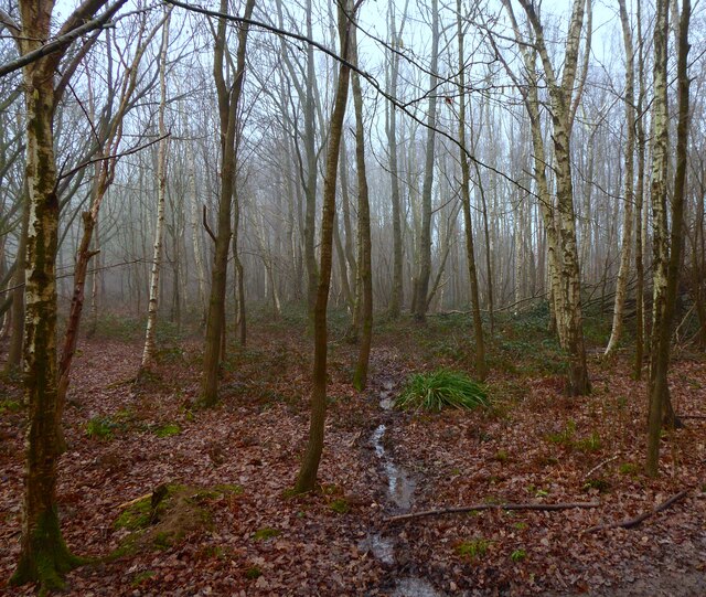
Hempstead Wood is primarily characterized by its dense canopy of towering trees, predominantly composed of oak, beech, and ash. These majestic trees provide ample shade and create a serene atmosphere, perfect for leisurely walks and exploring the natural beauty of the area. The forest floor is adorned with a carpet of vibrant wildflowers and ferns, adding to the enchanting ambiance.

The woodland is also home to a rich diversity of wildlife, making it a haven for nature lovers. Visitors may catch glimpses of deer, foxes, squirrels, and numerous species of birds that call Hempstead Wood their home. The forest is particularly renowned for its vibrant birdlife, attracting birdwatchers from all over the country.

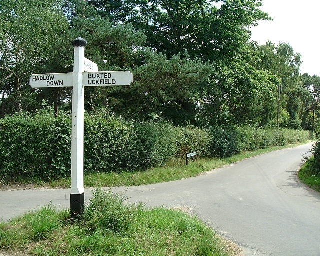
Several well-marked trails crisscross the forest, catering to both casual strollers and avid hikers. These trails offer breathtaking views of the surrounding countryside and provide opportunities to spot the diverse flora and fauna that thrive in the area.

Overall, Hempstead Wood offers a serene and natural retreat for those seeking solace in the great outdoors. Its beauty, tranquility, and abundant wildlife make it a must-visit destination for nature enthusiasts and those looking to escape the hustle and bustle of everyday life.

If you have any feedback on the listing, please let us know in the comments section below.

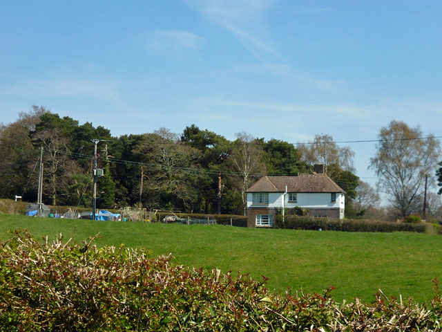
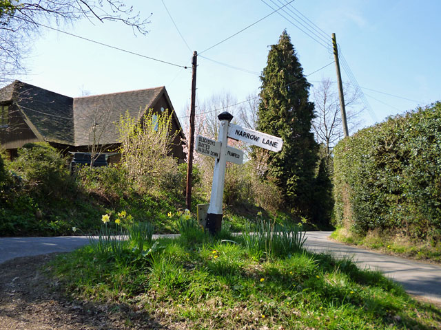
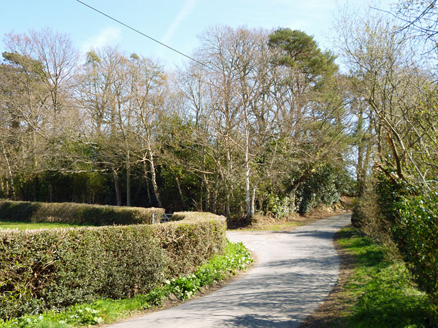
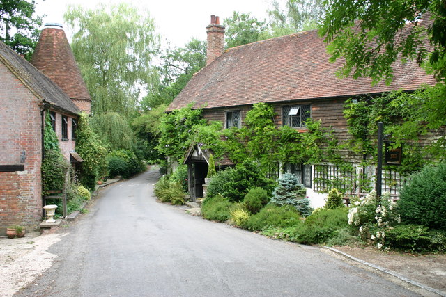
Hempstead Wood Images

Images are sourced within 2km of 50.973773/0.12031091 or Grid Reference TQ4821. Thanks to Geograph Open Source API. All images are credited.

House on Streele Lane The maps have this as Hobbs Barton Farm, but also use this term for farm buildings some way south down the lane by the house of Hobbs Barton.
House on Streele Lane
The maps have this as Hobbs Barton Farm, but also use this term for farm buildings some way south down the lane by the house of Hobbs Barton.
Signpost on the triangle 'Narrow Lane' is not the name of the lane, which is Uptons Mill Lane, or its destination, but its character.
Signpost on the triangle
'Narrow Lane' is not the name of the lane, which is Uptons Mill Lane, or its destination, but its character.
Gatehouse Lane splits left and right The split is to effect a junction with Pound Lane. The trees ahead are on a triangle of land between the lanes.
Gatehouse Lane splits left and right
The split is to effect a junction with Pound Lane. The trees ahead are on a triangle of land between the lanes.
Upton Mill House
Upton Mill House
Upton Mill
Upton Mill
Gatehouse Lane, Framfield It veers off from Pound Lane, visible at bottom right.
This is almost a reverse view: <a href="https://www.geograph.org.uk/photo/2885269">TQ5020 : Gatehouse Lane splits left and right</a>.
Gatehouse Lane, Framfield
It veers off from Pound Lane, visible at bottom right. This is almost a reverse view: TQ5020 : Gatehouse Lane splits left and right.
Entrance Gates
Entrance Gates
Framfield Stream
Framfield Stream
Brookhouse Lane
Brookhouse Lane
Entrance to Upper Brookhouse Farm
Brookhouse Lane
Brookhouse Lane
Meadow Views, Uckfield Meadow Views is a small development of houses on the outskirts of Uckfield in East Sussex.
Meadow Views, Uckfield
Meadow Views is a small development of houses on the outskirts of Uckfield in East Sussex.
Nightingale Rise, Uckfield A driveway leading to Nightingale Rise, a small housing development in the East Sussex town of Uckfield.
Nightingale Rise, Uckfield
A driveway leading to Nightingale Rise, a small housing development in the East Sussex town of Uckfield.
Lower Wood This section of the wood was originally a field called Long lands according to Framfield's 1840 tithe map.
Lower Wood
This section of the wood was originally a field called Long lands according to Framfield's 1840 tithe map.
Framfield 67b Public Footpath Heading through Square Wood towards an unnamed tributary of Framfield Stream. The footpath links the viollage to Arches Manor. There is iron ore in the ground as indicated by the colour of the water.
Framfield 67b Public Footpath
Heading through Square Wood towards an unnamed tributary of Framfield Stream. The footpath links the viollage to Arches Manor. There is iron ore in the ground as indicated by the colour of the water.
Square Wood This section to the north was once an open field called Little Pit Lays Meadow according to Framfield's 1840 tithe map.
Square Wood
This section to the north was once an open field called Little Pit Lays Meadow according to Framfield's 1840 tithe map.
Wealdway crossing Uptons Mill Lane Here the Wealdway follows the valley of the Tickerage Stream
Wealdway crossing Uptons Mill Lane
Here the Wealdway follows the valley of the Tickerage Stream
Streele Lane direction Near a cluster of homes known as Etchingwood and looking south down Streele Lane
Streele Lane direction
Near a cluster of homes known as Etchingwood and looking south down Streele Lane
Show me another place!

Hempstead Wood is located at Grid Ref: TQ4821 (Lat: 50.973773, Lng: 0.12031091)

Administrative County: East Sussex

District: Wealden

Police Authority: Sussex

What 3 Words

///adverbs.nightfall.coffee. Near Uckfield, East Sussex

Related Wikis

Uckfield College

Uckfield College (formerly Uckfield Community Technology College) is a community college situated in Uckfield, UK. It has approximately 1,720 students...

Uckfield Baptist Church

Uckfield Baptist Church is a Baptist congregation based in the town of Uckfield in East Sussex, England. Although services now take place in a school...

Uckfield

Uckfield () is a town in the Wealden District of East Sussex in South East England. The town is on the River Uck, one of the tributaries of the River Ouse...

St Margaret the Queen, Buxted

The Church of St Margaret the Queen is a grade I listed building in Buxted Park, East Sussex, England. It is dedicated to Saint Margaret of Scotland, an...

Hempstead Meadow

Hempstead Meadow is a 1.6-hectare (4.0-acre) Local Nature Reserve in Uckfield in East Sussex. It is owned and managed by Uckfield Town Council.The site...

Framfield

Framfield is a village and civil parish in the Wealden District of East Sussex, England. The village is located two miles (3 km) east of Uckfield; the...

Copping Hall

Copping Hall is a Grade II* listed house in Uckfield, East Sussex, England. It is located at 1 Pudding Cake Lane, Uckfield, East Sussex TN22 1BT. Built...

Uckfield railway station

Uckfield railway station is the southern terminus of a branch of the Oxted Line in England, serving the town of Uckfield, East Sussex. It is 46 miles 8...

Nearby Amenities

Located within 500m of 50.973773,0.12031091
Source: Landsat photo
Lat/Long: 50.9745678/0.114881
Source: Landsat photo
Lat/Long: 50.9757129/0.1176029
Source: Landsat photo
Lat/Long: 50.976945/0.1196457
Access: no
Barrier: fence
Wheelchair: no
Lat/Long: 50.9762578/0.118907
Note: Transformer ref ? Hempstead 444168
Power: pole
Ref: 241071
Transformer: distribution
Voltage: 11000;400
Lat/Long: 50.9749629/0.1145804
Footpath
Information: guidepost
Tourism: information
Lat/Long: 50.9750633/0.1146117
Footpath
Information: guidepost
Tourism: information
Lat/Long: 50.9711817/0.1213617
Railway: level_crossing
Lat/Long: 50.9746868/0.1151925
Barrier: yes
Lat/Long: 50.9765361/0.1185161
Man Made: mast
Tower Type: communication
Lat/Long: 50.9697145/0.1174137
Footpath
Information: guidepost
Operator: East Sussex County Council
Tourism: information
Lat/Long: 50.9766576/0.1171825
WW
Information: guidepost
Tourism: information
Lat/Long: 50.976641/0.1161339
Wealdway
Information: guidepost
Tourism: information
Lat/Long: 50.9764072/0.1178923
Wealdway
Information: guidepost
Tourism: information
Lat/Long: 50.9769399/0.1163797
Wealdway
Information: guidepost
Note: “Official path diversion”
Tourism: information
Lat/Long: 50.9766104/0.118646
Footpath
Information: guidepost
Operator: East Sussex County Council
Tourism: information
Lat/Long: 50.9766207/0.1172817
Footpath
Information: guidepost
Operator: East Sussex County Council
Tourism: information
Lat/Long: 50.97665/0.1161543
Barrier: stile
Lat/Long: 50.9728388/0.124281
The data included in this document is from www.openstreetmap.org. The data is made available under ODbL.

Have you been to Hempstead Wood?

Leave your review of Hempstead Wood below (or comments, questions and feedback).