Pond Shaw
Wood, Forest in Sussex Wealden
England
Pond Shaw

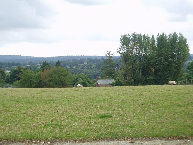
Pond Shaw, located in Sussex, England, is a picturesque woodland area known for its tranquil atmosphere and natural beauty. Situated within the larger landscape of the South Downs National Park, this forested region covers a vast expanse, providing ample opportunities for outdoor activities and exploration.
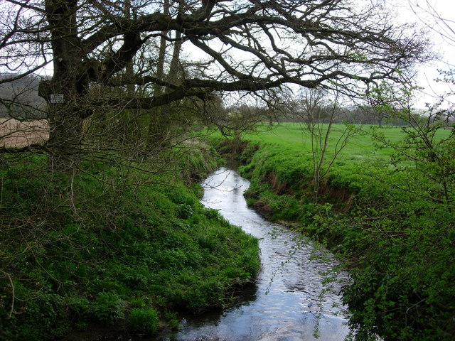
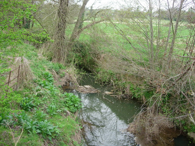
The name "Pond Shaw" derives from the presence of several small ponds scattered throughout the area, adding to the charm and diversity of the landscape. These ponds, along with the surrounding trees and vegetation, create a rich and diverse habitat for a variety of wildlife species, making it a popular destination for nature enthusiasts and birdwatchers.
The woodland itself is primarily composed of native tree species such as oak, beech, and birch, which form a dense canopy overhead, providing shade and shelter. The forest floor is carpeted with a lush undergrowth of ferns, mosses, and wildflowers, adding to the area's natural beauty.
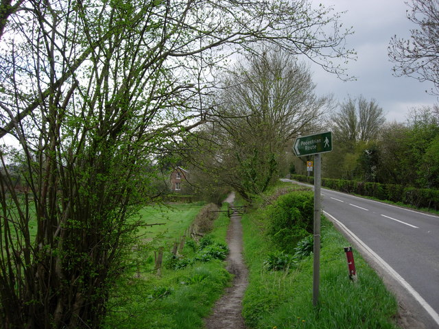
Visitors to Pond Shaw can enjoy a range of recreational activities, including hiking, cycling, and horseback riding, as there are several well-marked trails and paths that wind through the forest. These trails offer stunning views of the surrounding countryside and provide an opportunity to observe the local flora and fauna up close.
Additionally, Pond Shaw is home to several picnic areas and designated camping spots, allowing visitors to fully immerse themselves in the peaceful ambiance of the woodland. Whether for a day trip or a longer stay, Pond Shaw offers a serene and idyllic retreat for nature lovers and outdoor enthusiasts alike.
If you have any feedback on the listing, please let us know in the comments section below.
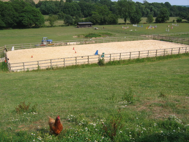
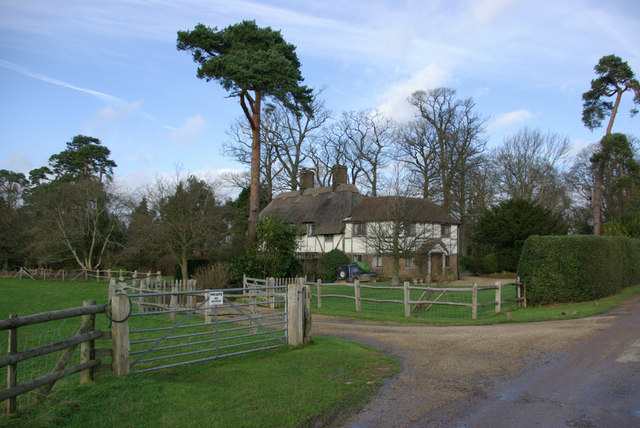
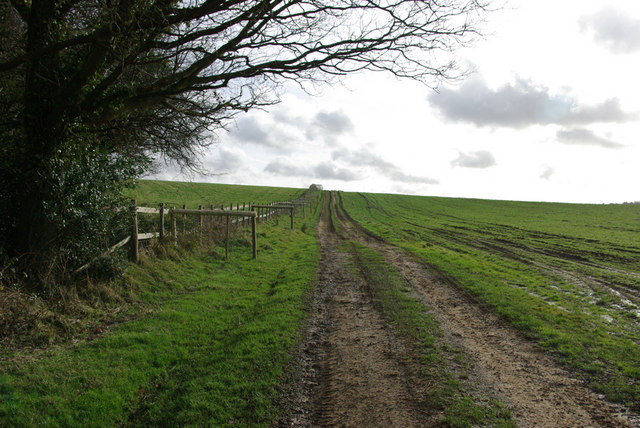
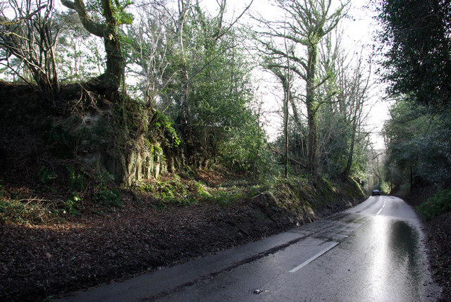
Pond Shaw Images
Images are sourced within 2km of 51.098518/0.11951453 or Grid Reference TQ4835. Thanks to Geograph Open Source API. All images are credited.


Pond Shaw is located at Grid Ref: TQ4835 (Lat: 51.098518, Lng: 0.11951453)
Administrative County: East Sussex
District: Wealden
Police Authority: Sussex
What 3 Words
///duty.bluffs.spenders. Near Groombridge, East Sussex
Nearby Locations
Related Wikis

Withyham Priory
Withyham Priory was a Benedictine monastic house in East Sussex, extant in 1086 and dissolved in 1413. == History == Robert, Count of Mortain, some time...

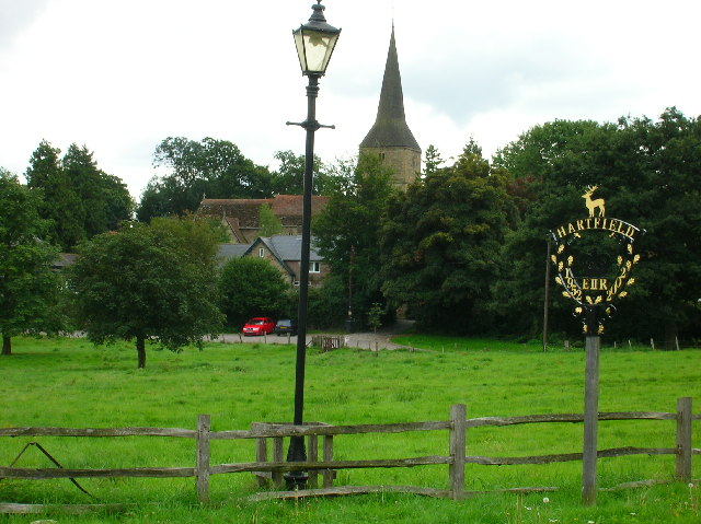
Hartfield
Hartfield is a village and civil parish in the Wealden district of East Sussex, England. The parish also includes the settlements of Colemans Hatch, Hammerwood...

Withyham
Withyham is a village and large civil parish in the Wealden district of East Sussex, England. The village is situated 7 miles south west of Royal Tunbridge...
Oliver Sutton (RAF officer)
Captain Oliver Manners Sutton (12 March 1896 – 16 August 1921) was a British First World War flying ace credited with seven aerial victories. == Family... ==

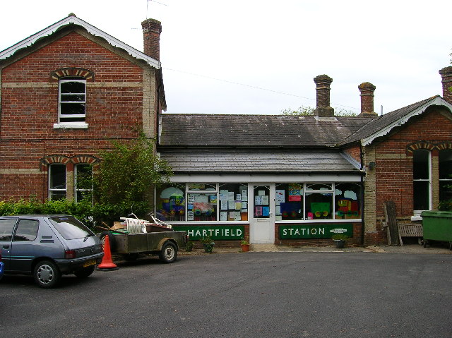
Hartfield railway station
Hartfield was a railway station serving Hartfield, England, on the Three Bridges to Tunbridge Wells Central Line which closed in 1967, a casualty of the...
Cotchford Farm
Cotchford Farm is a farmhouse building to the southwest of the village of Hartfield, East Sussex, in the High Weald Area of Outstanding Natural Beauty...

Buckhurst Park, East Sussex
Buckhurst Park is an English country house and landscaped park in Withyham, East Sussex. It is the seat of William Sackville, 11th Earl De La Warr.The...
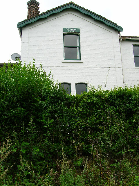
Withyham railway station
Withyham was a railway station on the Three Bridges to Tunbridge Wells Central Line which closed in 1967, a casualty of the Beeching Axe. The station opened...
Nearby Amenities
Located within 500m of 51.098518,0.11951453Have you been to Pond Shaw?
Leave your review of Pond Shaw below (or comments, questions and feedback).