Griff's Wood

Wood, Forest in Kent

England

Griff's Wood

View over Bourne Wood As seen from a footpath on a hill, near Crockenhill.

Looking across Bourne Wood towards St.Paul Cray. 

In the far background is the office towers of Canary Phone.
View over Bourne Wood Credit: David Anstiss

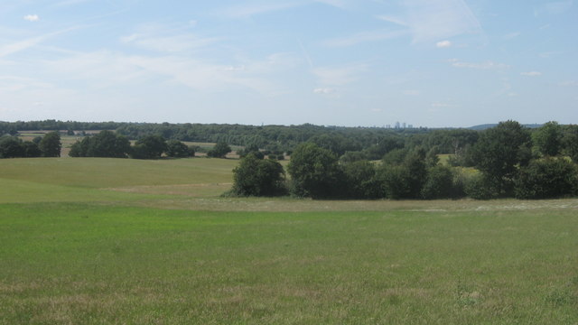
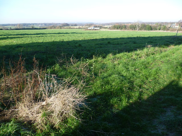
Griff's Wood, located in the county of Kent, England, is a charming and picturesque woodland area that encompasses a total area of approximately 200 acres. Situated near the village of Wood, this forest is renowned for its natural beauty and tranquil atmosphere, making it a popular destination for nature enthusiasts and hikers alike.

The wood is predominantly composed of an array of broadleaf trees, including oak, beech, and ash, which create a lush and vibrant canopy that provides shade and shelter to a diverse range of flora and fauna. Walking through the wood, visitors can expect to encounter a variety of wildflowers, ferns, and mosses, adding to the enchanting ambiance of the surroundings.

Griff's Wood is crisscrossed by several well-maintained trails, enabling visitors to explore its hidden nooks and crannies. These paths wind through the wood, allowing hikers to discover its secrets, such as a babbling brook that meanders through the trees, providing a peaceful backdrop to the already serene environment.

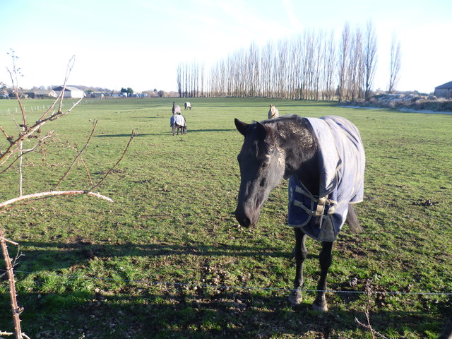
The woodland is a haven for wildlife, providing a habitat for numerous bird species, including woodpeckers, thrushes, and owls. Additionally, small mammals such as squirrels, foxes, and rabbits can be spotted scurrying through the undergrowth, adding a touch of wilderness to the experience.

The management of Griff's Wood is overseen by the local council, ensuring the preservation of its natural beauty. Visitors are encouraged to respect the woodland's tranquility and follow any guidelines provided, such as refraining from littering and keeping dogs on a leash.

Overall, Griff's Wood offers an idyllic retreat from the hustle and bustle of everyday life, providing a serene and captivating natural environment for all who visit.

If you have any feedback on the listing, please let us know in the comments section below.
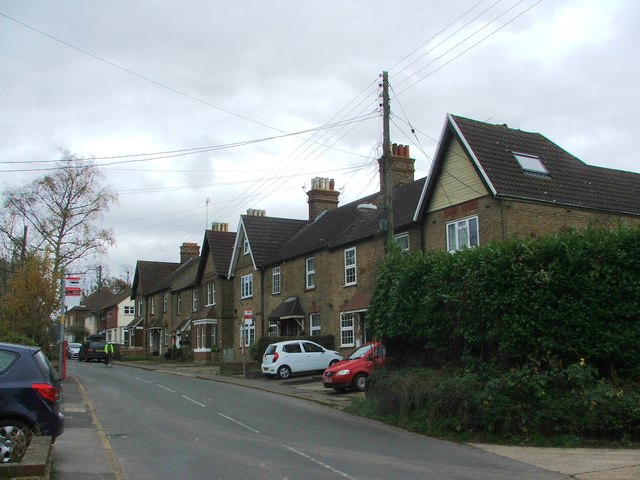
Griff's Wood Images

Images are sourced within 2km of 51.375672/0.13230645 or Grid Reference TQ4866. Thanks to Geograph Open Source API. All images are credited.

View over Bourne Wood As seen from a footpath on a hill, near Crockenhill.

Looking across Bourne Wood towards St.Paul Cray. 

In the far background is the office towers of Canary Phone.
View over Bourne Wood
As seen from a footpath on a hill, near Crockenhill. Looking across Bourne Wood towards St.Paul Cray. In the far background is the office towers of Canary Phone.
Horse near Darns Hill This horse is in a field off Darns Hill, just beyond the southern edge of Crockenhill.
Horse near Darns Hill
This horse is in a field off Darns Hill, just beyond the southern edge of Crockenhill.
View from Darns Hill Traces of a heavy frost from the previous night were still evident on the ground. This view from Darns Hill, a lane to the south-east of Crockenhill, looks towards London. The distant ridge on the horizon in the centre of the photograph is Shooters Hill.
View from Darns Hill
Traces of a heavy frost from the previous night were still evident on the ground. This view from Darns Hill, a lane to the south-east of Crockenhill, looks towards London. The distant ridge on the horizon in the centre of the photograph is Shooters Hill.
Sounds Lodge, Crockenhill A modern neo-Georgian estate probably from the 1970s or so
Sounds Lodge, Crockenhill
A modern neo-Georgian estate probably from the 1970s or so
Daltons Road Looking towards Crockenhill and photographed on a chilly February afternoon.
Daltons Road
Looking towards Crockenhill and photographed on a chilly February afternoon.
Footpath at Daltons Road One of the branches of this footpath crosses the M25 which is a little way to the left here.
Footpath at Daltons Road
One of the branches of this footpath crosses the M25 which is a little way to the left here.
Old Chapel Road, Crockenhill
Tylers Green Road, Crockenhill
Cray Road, Crockenhill
Bransell Close, Crockenhill
Cray Road, Crockenhill
Cray Road Late Victorian cottages on Cray Road.  In the foreground are nos. 36-41 and in the background is Woodlands Terrace.
Cray Road
Late Victorian cottages on Cray Road. In the foreground are nos. 36-41 and in the background is Woodlands Terrace.
Pear Tree Cottages Pair of 18th Century cottages on Cray Road (although the near extension is 20th Century).  Grade II listed - see <span class="nowrap"><a title="www.historicengland.org.uk/listing/the-list/list-entry/1217153" rel="nofollow ugc noopener" href="http://www.historicengland.org.uk/listing/the-list/list-entry/1217153">Link</a><img style="margin-left:2px;" alt="External link" title="External link - shift click to open in new window" src="https://s1.geograph.org.uk/img/external.png" width="10" height="10"/></span>.
Pear Tree Cottages
Pair of 18th Century cottages on Cray Road (although the near extension is 20th Century). Grade II listed - see LinkExternal link.
Tylers Green Road 1940s(?) housing on Tylers Green Road.
Tylers Green Road
1940s(?) housing on Tylers Green Road.
Tylers Green Road 1950s(?) housing on Tylers Green Road.
Tylers Green Road
1950s(?) housing on Tylers Green Road.
Tylers Green Road 1960s bungalows on Tylers Green Road.
Tylers Green Road
1960s bungalows on Tylers Green Road.
Tylers Green Road 1940s(?) housing on Tylers Green Road.
Tylers Green Road
1940s(?) housing on Tylers Green Road.
Show me another place!

Griff's Wood is located at Grid Ref: TQ4866 (Lat: 51.375672, Lng: 0.13230645)

Unitary Authority: Bromley

Police Authority: Metropolitan

What 3 Words

///elite.minute.files. Near Orpington, London

Nearby Locations

Griff's Wood

Related Wikis

Ramsden, Orpington

Ramsden is an area in south-east London, generally considered a suburb of Orpington, located in the London Borough of Bromley and, prior to 1965, within...

Harris Academy Orpington

Harris Academy Orpington (formerly The Priory School) is a non-selective secondary school and sixth form with academy status in Orpington in the London...

Kevington, London

Kevington, sometimes spelt Kevingtown, is a rural hamlet in South East London, England, within the London Borough of Bromley. It is located north east...

Derry Downs

Derry Downs is an area of south-east London, England, within the London Borough of Bromley and, prior to 1965, in the historic county of Kent. It is located...

Goddington

Goddington is an area in south-east London, located in the London Borough of Bromley. It is situated south of Ramsden, south-east of Orpington town centre...

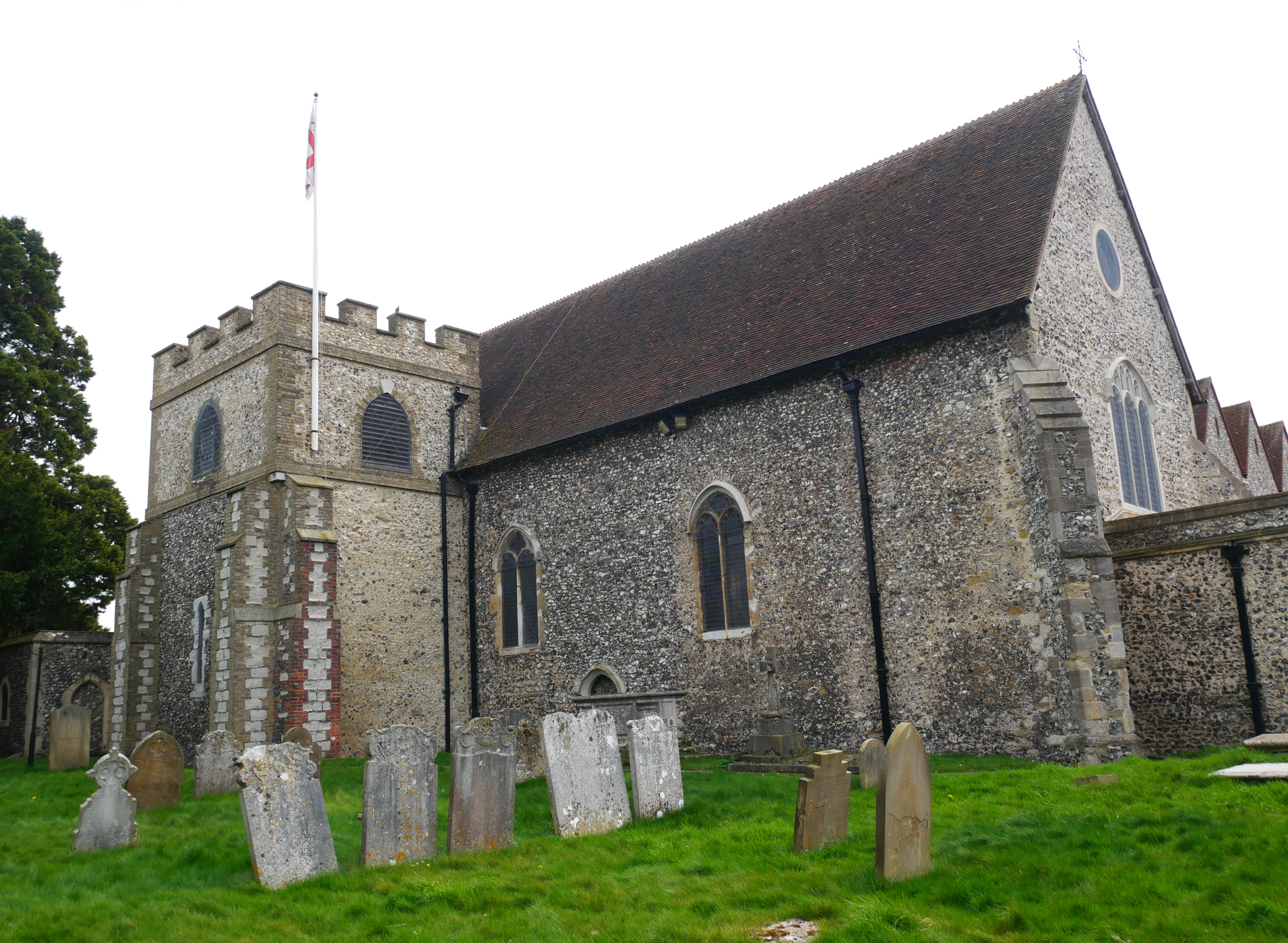
Church of All Saints, Orpington

The Church of All Saints is a Grade II* listed church in Orpington, Bromley, London. == History == The old part of the church dates back to the Anglo-Saxon...

The Warren, Bromley

The Warren is a 13.5-hectare (33-acre) nature reserve in St Mary Cray in the London Borough of Bromley. It is a Site of Borough Importance for Nature Conservation...

Chelsfield

Chelsfield is an area in south-east London, England, within the London Borough of Bromley and, prior to 1965, in the historic county of Kent. It lies south...

Nearby Amenities

Located within 500m of 51.375672,0.13230645
Post Box
Brand: Royal Mail
Brand Wikidata: Q638098
Collection Times: Mo-Fr 16:30; Sa 11:30
Mapillary: 504169327387347
Operator: Royal Mail
Operator Wikidata: Q638098
Post Box Mounting: pier
Post Box Type: lamp
Ref: BR5 246
Survey Date: 2020-07-15
Lat/Long: 51.3736701/0.138599
Barrier: stile
Bicycle: no
Foot: yes
Material: wood
Stile: stepover
Lat/Long: 51.3792407/0.1314092
Addr City: Orpington
Addr Housename: Heathers Holding
Addr Postcode: BR5 4EZ
Addr Street: East Hall Road
Source Postcode: codepoint_overlay
Lat/Long: 51.3782571/0.1357519
Addr City: Orpington
Addr Housename: East Hall Cottage
Addr Postcode: BR5 4EZ
Addr Street: East Hall Road
Source Postcode: codepoint_overlay
Lat/Long: 51.3781685/0.1356743
Addr City: Orpington
Addr Housename: Green Cedar
Addr Postcode: BR5 4EZ
Addr Street: East Hall Road
Source Postcode: codepoint_overlay
Lat/Long: 51.3780797/0.1355844
The data included in this document is from www.openstreetmap.org. The data is made available under ODbL.

Have you been to Griff's Wood?

Leave your review of Griff's Wood below (or comments, questions and feedback).