Marlpit Wood
Wood, Forest in Kent Sevenoaks
England
Marlpit Wood
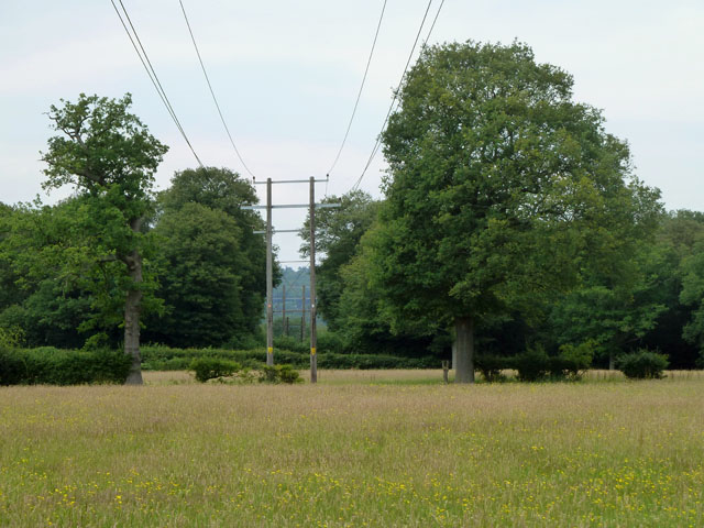
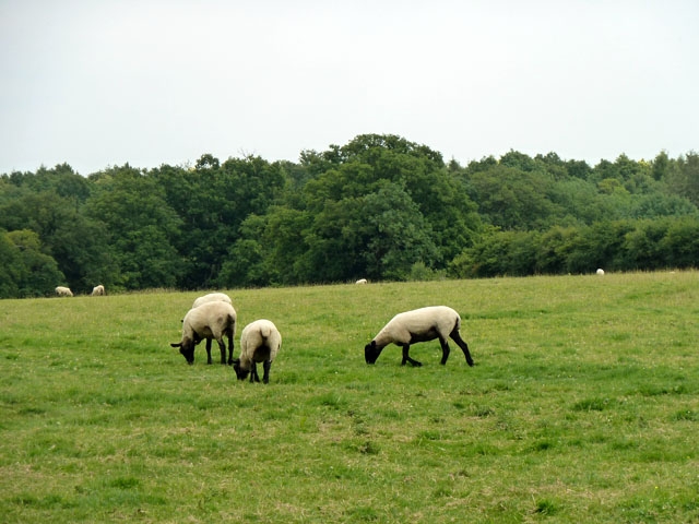
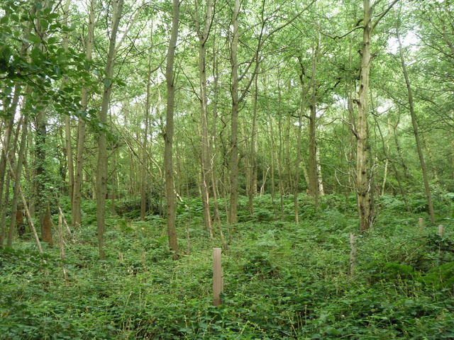
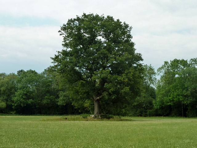
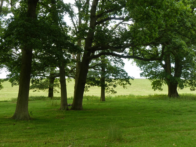
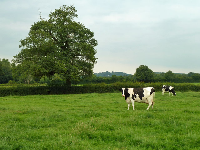
Marlpit Wood is a picturesque woodland located in the county of Kent, England. Nestled in the heart of the Kent Downs Area of Outstanding Natural Beauty, it covers an area of approximately 60 hectares. The wood is primarily composed of broadleaf trees, with oak, beech, and ash being the predominant species.
This ancient woodland boasts an impressive biodiversity, providing a habitat for a wide range of flora and fauna. Bluebells carpet the forest floor in the spring, creating a vibrant display of color, while ferns and mosses thrive in the damp and shaded areas. The diverse vegetation attracts a variety of bird species, including woodpeckers, thrushes, and owls, making it a birdwatcher's paradise.
Marlpit Wood also holds historical significance, with evidence of human activity dating back thousands of years. Archaeological discoveries have revealed ancient burial mounds and remnants of Iron Age settlements, providing insights into the area's rich past.
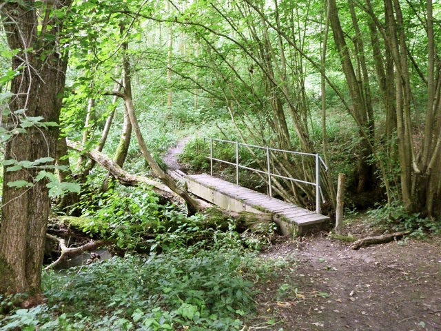
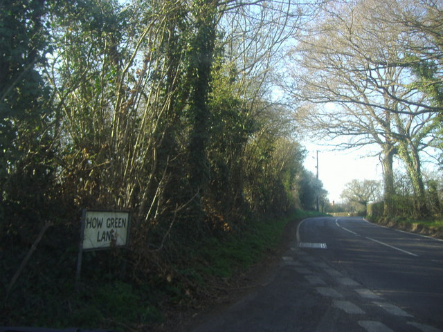
The wood is a popular destination for outdoor enthusiasts, offering numerous walking trails that wind through the peaceful and serene surroundings. Visitors can explore the interconnected pathways, immersing themselves in the tranquil ambiance while enjoying the beauty of nature.
Managed by a local conservation organization, Marlpit Wood is carefully maintained to preserve its natural beauty and ecological importance. Regular maintenance work includes tree thinning and habitat restoration projects to ensure the long-term survival of the woodland ecosystem.
Overall, Marlpit Wood is a delightful haven for nature lovers, history enthusiasts, and those seeking solace in the great outdoors. Its rich biodiversity, captivating scenery, and cultural heritage make it a must-visit destination in the Kent countryside.
If you have any feedback on the listing, please let us know in the comments section below.
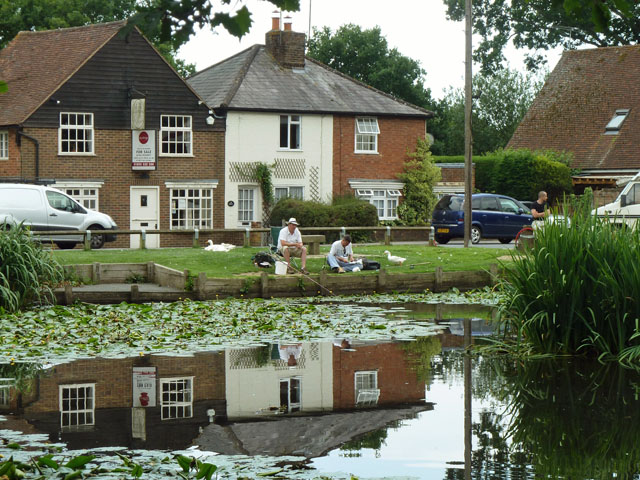
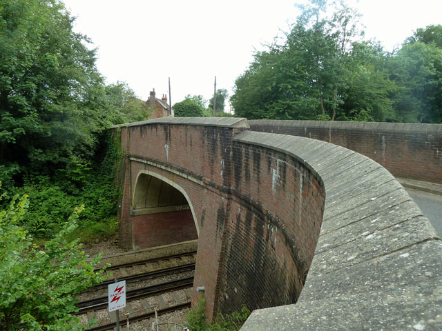
Marlpit Wood Images
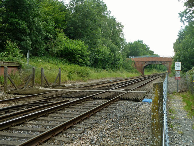
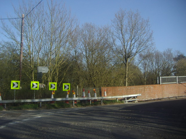
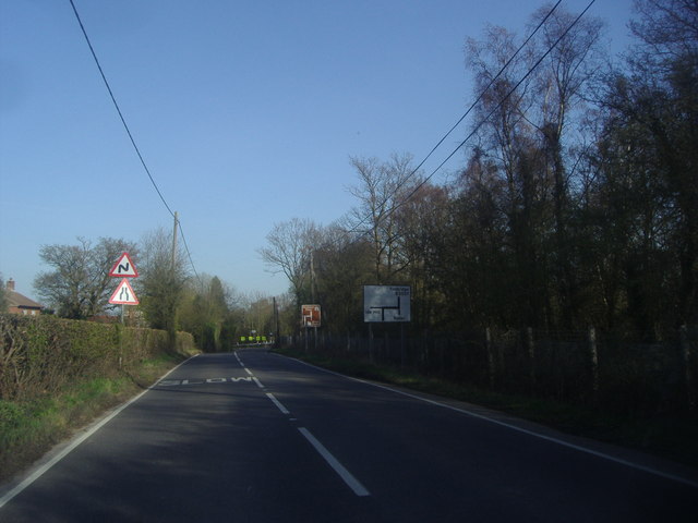
Images are sourced within 2km of 51.212161/0.12475778 or Grid Reference TQ4848. Thanks to Geograph Open Source API. All images are credited.
Marlpit Wood is located at Grid Ref: TQ4848 (Lat: 51.212161, Lng: 0.12475778)
Administrative County: Kent
District: Sevenoaks
Police Authority: Kent
What 3 Words
///cheek.client.never. Near Edenbridge, Kent
Nearby Locations
Related Wikis

Bough Beech
Bough Beech is a hamlet in the county of Kent, England, and is south of the Bough Beech Reservoir. It is located approximately three miles east of Edenbridge...

Four Elms
Four Elms is a village within the civil parish of Hever in the Sevenoaks District of Kent, England. The village is located on a crossroads between Edenbridge...

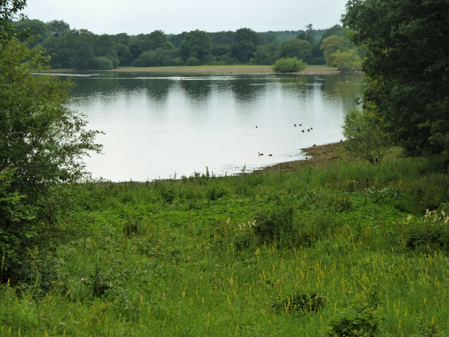
Bough Beech Reservoir
Bough Beech Reservoir is a 42-hectare (100-acre) nature reserve in Bough Beech, south-west of Sevenoaks in Kent. It was managed by the Kent Wildlife Trust...

How Green House
How Green House is an architecturally important Arts and Crafts movement style country house near Hever in the Sevenoaks District of Kent. It was designed...
Nearby Amenities
Located within 500m of 51.212161,0.12475778Have you been to Marlpit Wood?
Leave your review of Marlpit Wood below (or comments, questions and feedback).