Wilford's Wood

Wood, Forest in Essex Uttlesford

England

Wilford's Wood

St. Mary's church, Strethall, Essex Almost entirely obscured by trees, Strethall church stands by a farm in a remote part of north Essex. The church dates back to the 11th century and has a Saxon nave with a fine Saxon chancel arch. The chancel and tower are 15th century.
St. Mary's church, Strethall, Essex Credit: Robert Edwards

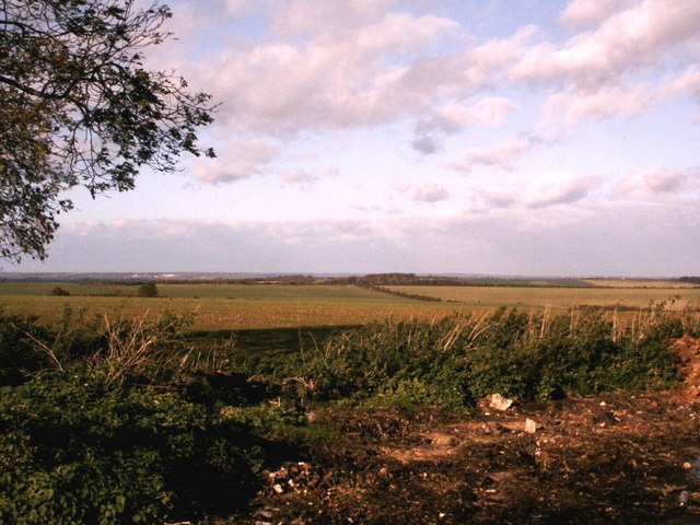
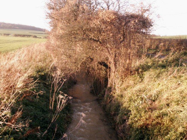
Wilford's Wood is a picturesque forest located in the county of Essex, England. Spanning over a vast area, it is known for its dense foliage, diverse wildlife, and tranquil atmosphere. The woodland is situated near the village of Wilford, which lends its name to this natural gem.

The forest boasts an impressive range of tree species, including oak, beech, and ash, creating a vibrant and ever-changing landscape throughout the year. The thick canopy overhead provides shade and shelter, making it an ideal habitat for a variety of creatures. Birdwatchers flock to the area to catch glimpses of rare and migratory birds such as nightingales and woodpeckers.

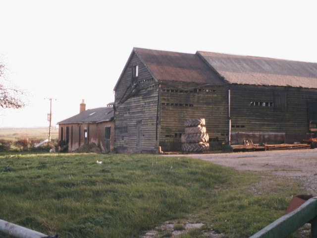
Wilford's Wood is crisscrossed by several well-maintained footpaths and nature trails, making it a popular destination for hikers, joggers, and nature enthusiasts. As visitors meander through the forest, they may stumble upon hidden clearings, babbling brooks, and even ancient ruins. The wood is steeped in history, with remnants of old structures dating back centuries, adding to its allure.

Nature lovers are in for a treat as they may encounter a diverse range of wildlife, including deer, foxes, badgers, and an array of woodland creatures. The forest also supports a rich ecosystem of plants and wildflowers, providing a visually captivating experience.

Wilford's Wood is not only a haven for wildlife and outdoor enthusiasts but also offers a peaceful retreat for those seeking solace and tranquility. Its untouched beauty, serene ambience, and abundance of natural wonders make it a must-visit destination for anyone seeking to connect with nature in Essex.

If you have any feedback on the listing, please let us know in the comments section below.

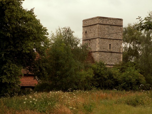
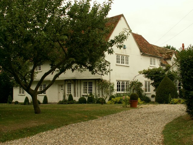
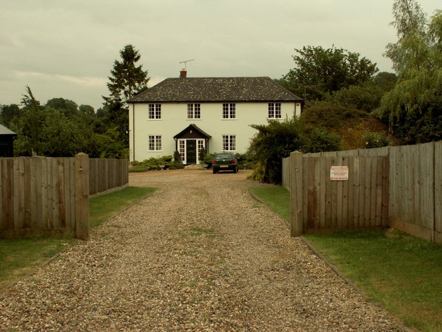
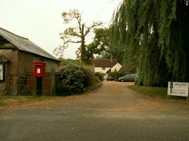
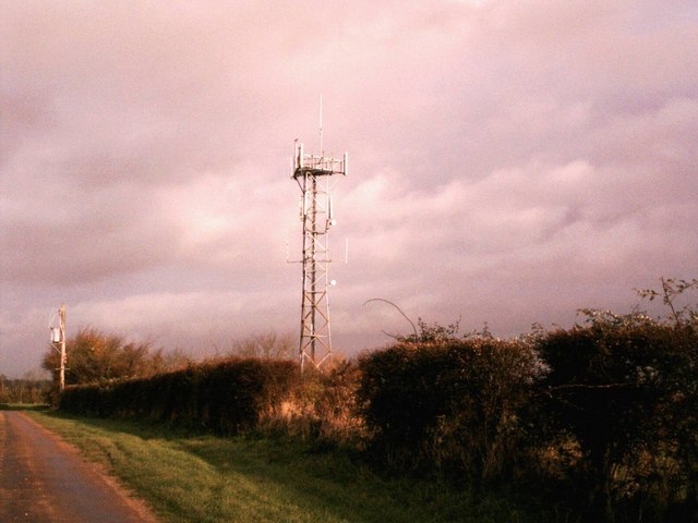
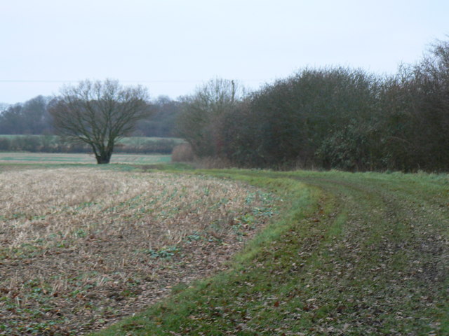
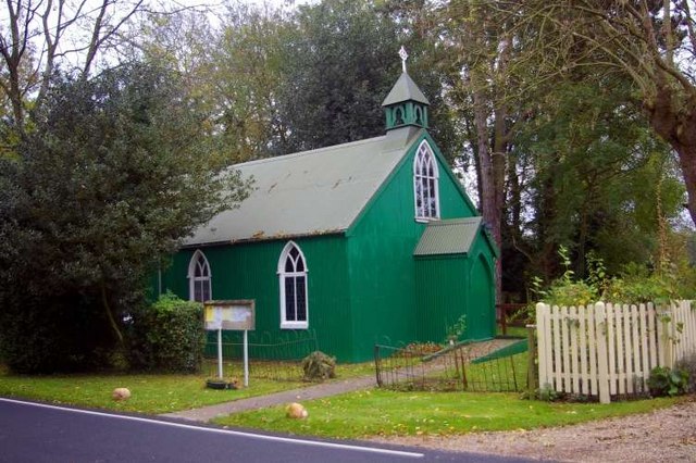
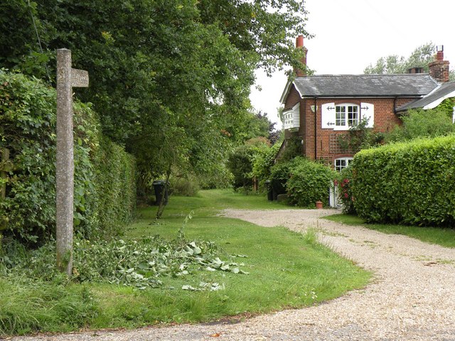
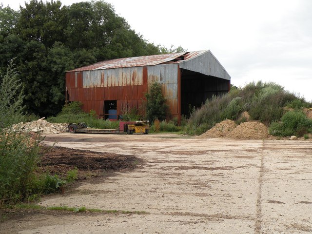
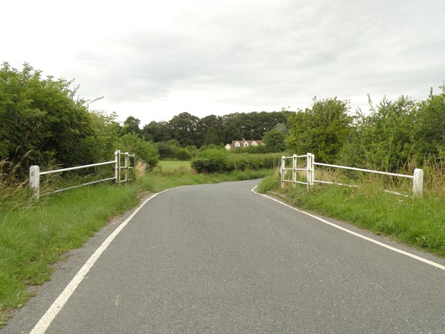
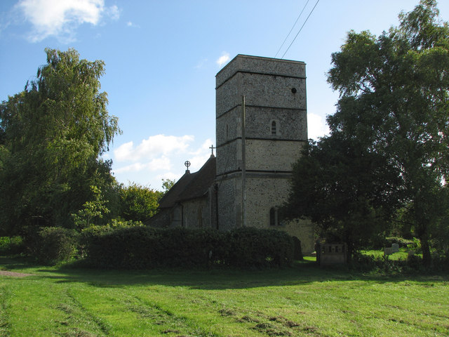
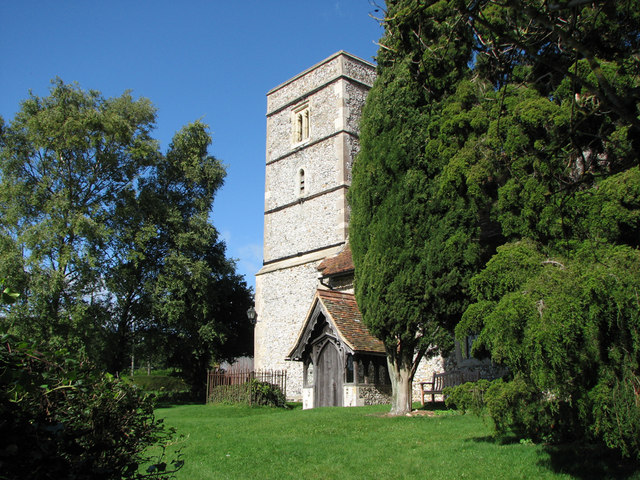
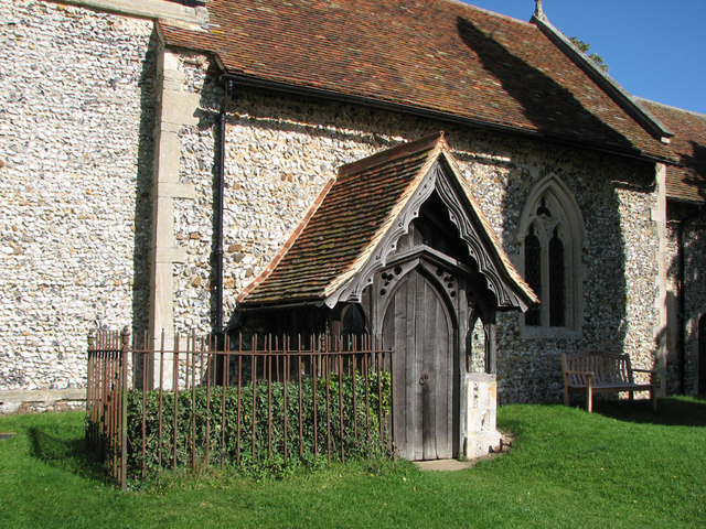
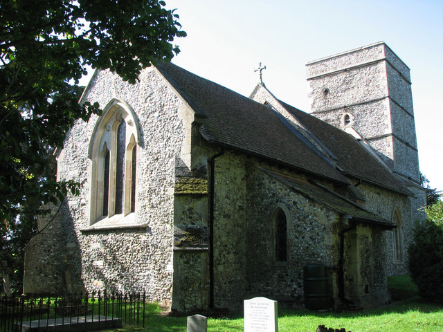
Wilford's Wood Images

Images are sourced within 2km of 52.021954/0.16274984 or Grid Reference TL4838. Thanks to Geograph Open Source API. All images are credited.

St. Mary's church, Strethall, Essex Almost entirely obscured by trees, Strethall church stands by a farm in a remote part of north Essex. The church dates back to the 11th century and has a Saxon nave with a fine Saxon chancel arch. The chancel and tower are 15th century.
St. Mary's church, Strethall, Essex
Almost entirely obscured by trees, Strethall church stands by a farm in a remote part of north Essex. The church dates back to the 11th century and has a Saxon nave with a fine Saxon chancel arch. The chancel and tower are 15th century.
Old house at Catmere End, Strethall, Essex
Seamans Farm, Littlebury Green, Essex
Green Farm, Littlebury Green, Essex
North Essex countryside near Elmdon An autumn view from the Icknield Way long-distance path.
North Essex countryside near Elmdon
An autumn view from the Icknield Way long-distance path.
Stream at Long Lane Bridge Stream alongside the B1039 at Long Lane Bridge swollen by recent heavy rain.
Stream at Long Lane Bridge
Stream alongside the B1039 at Long Lane Bridge swollen by recent heavy rain.
Farm buildings at New Farm Farm buildings at New Farm on the b1039 near Littlebury green
Farm buildings at New Farm
Farm buildings at New Farm on the b1039 near Littlebury green
The road to Littlebury Green Road to Littlebury Green from the B1039
The road to Littlebury Green
Road to Littlebury Green from the B1039
Communications tower near Littlebury Green Communications tower near Littlebury Green, almost certainly a mobile phone repeater.
Communications tower near Littlebury Green
Communications tower near Littlebury Green, almost certainly a mobile phone repeater.
Some path near Strethall Picture of a path and tree in top NE corner of the grid square. Best picture of the ones I took, as this square is just fields, and landscape shots were pretty hazy due to the clouds and it being quite a dark day.
Some path near Strethall
Picture of a path and tree in top NE corner of the grid square. Best picture of the ones I took, as this square is just fields, and landscape shots were pretty hazy due to the clouds and it being quite a dark day.
St Peter's, Littlebury Green St Peter's was set up as a chapel of ease to save residents the trek to the parish church in Littlebury.  It was assembled from a kit which came complete with stained glass windows.
St Peter's, Littlebury Green
St Peter's was set up as a chapel of ease to save residents the trek to the parish church in Littlebury. It was assembled from a kit which came complete with stained glass windows.
Public byway to Free Wood and beyond
An old farm building, southwest of Littlebury Green
The southern end of Essex Hill This is the road that links the B1039 with Elmdon village.
The southern end of Essex Hill
This is the road that links the B1039 with Elmdon village.
Strethall: St Mary Parts of Strethall church date from the 11th century. It stands at the end of a lane high in the chalk hills of North Essex, just south of the Cambridgeshire border. For more about Strethall, see <span class="nowrap"><a title="http://www.recordinguttlesfordhistory.org.uk/strethall/strethallbriefhistory.html" rel="nofollow ugc noopener" href="http://www.recordinguttlesfordhistory.org.uk/strethall/strethallbriefhistory.html">Link</a><img style="margin-left:2px;" alt="External link" title="External link - shift click to open in new window" src="https://s1.geograph.org.uk/img/external.png" width="10" height="10"/></span> .
Strethall: St Mary
Parts of Strethall church date from the 11th century. It stands at the end of a lane high in the chalk hills of North Essex, just south of the Cambridgeshire border. For more about Strethall, see LinkExternal link .
Strethall: St Mary's church tower Parts of Strethall church date from the 11th century. It stands at the end of a lane high in the chalk hills of North Essex, just south of the Cambridgeshire border. The churchyard is small and there are lots of trees, so it's not easy to get a picture of the whole building. For more about Strethall, see <span class="nowrap"><a title="http://www.recordinguttlesfordhistory.org.uk/strethall/strethallbriefhistory.html" rel="nofollow ugc noopener" href="http://www.recordinguttlesfordhistory.org.uk/strethall/strethallbriefhistory.html">Link</a><img style="margin-left:2px;" alt="External link" title="External link - shift click to open in new window" src="https://s1.geograph.org.uk/img/external.png" width="10" height="10"/></span> .
Strethall: St Mary's church tower
Parts of Strethall church date from the 11th century. It stands at the end of a lane high in the chalk hills of North Essex, just south of the Cambridgeshire border. The churchyard is small and there are lots of trees, so it's not easy to get a picture of the whole building. For more about Strethall, see LinkExternal link .
Strethall: St Mary - the porch Parts of Strethall church date from the 11th century. It stands at the end of a lane high in the chalk hills of North Essex, just south of the Cambridgeshire border. For more about Strethall, see <span class="nowrap"><a title="http://www.recordinguttlesfordhistory.org.uk/strethall/strethallbriefhistory.html" rel="nofollow ugc noopener" href="http://www.recordinguttlesfordhistory.org.uk/strethall/strethallbriefhistory.html">Link</a><img style="margin-left:2px;" alt="External link" title="External link - shift click to open in new window" src="https://s1.geograph.org.uk/img/external.png" width="10" height="10"/></span> .
Strethall: St Mary - the porch
Parts of Strethall church date from the 11th century. It stands at the end of a lane high in the chalk hills of North Essex, just south of the Cambridgeshire border. For more about Strethall, see LinkExternal link .
Strethall: St Mary Parts of Strethall church date from the 11th century. It stands at the end of a lane high in the chalk hills of North Essex, just south of the Cambridgeshire border. The churchyard is small and there are lots of trees, so it is difficult to get a picture of the whole building, especially from the shadows on a bright September morning. For more about Strethall, see <span class="nowrap"><a title="http://www.recordinguttlesfordhistory.org.uk/strethall/strethallbriefhistory.html" rel="nofollow ugc noopener" href="http://www.recordinguttlesfordhistory.org.uk/strethall/strethallbriefhistory.html">Link</a><img style="margin-left:2px;" alt="External link" title="External link - shift click to open in new window" src="https://s1.geograph.org.uk/img/external.png" width="10" height="10"/></span> .
Strethall: St Mary
Parts of Strethall church date from the 11th century. It stands at the end of a lane high in the chalk hills of North Essex, just south of the Cambridgeshire border. The churchyard is small and there are lots of trees, so it is difficult to get a picture of the whole building, especially from the shadows on a bright September morning. For more about Strethall, see LinkExternal link .
Show me another place!

Wilford's Wood is located at Grid Ref: TL4838 (Lat: 52.021954, Lng: 0.16274984)

Administrative County: Essex

District: Uttlesford

Police Authority: Essex

What 3 Words

///timing.deferring.appealing. Near Great Chesterford, Essex

Related Wikis

Littlebury Green

Littlebury Green is a village in the civil parish of Littlebury and the district of Uttlesford in Essex, England. Littlebury Green is one of three settlements...

Strethall

Strethall is a village and a civil parish in the Uttlesford District, in the English county of Essex, near the town of Saffron Walden. Having suffered...

Elmdon

See also, Elmdon, West Midlands.Elmdon is a village in the civil parish of Elmdon, Duddenhoe End & Wenden Lofts situated in the Uttlesford district of...

Duddenhoe End

Duddenhoe End is a small village in the civil parish of Elmdon & Wenden Lofts, in northwest Essex, England, and situated approximately halfway between...

Wenden Lofts

Wenden Lofts is a small community in the civil parish of Elmdon, Duddenhoe End & Wenden Lofts in the Uttlesford district, in the county of Essex, England...

St Mary the Virgin Church, Wendens Ambo

St Mary the Virgin Church is a Church of England parish church in the village of Wendens Ambo in Essex, England. It is listed Grade I for its architectural...

Wendens Ambo

Wendens Ambo is a village in the Uttlesford district of Essex, England. The population at the 2011 census was measured at 473. Its name originates from...

Audley End railway station

Audley End railway station is on the West Anglia Main Line serving the village of Wendens Ambo and the town of Saffron Walden in Essex, England. It is...

Nearby Amenities

Located within 500m of 52.021954,0.16274984
Access: yes
Leisure: playground
Lat/Long: 52.0244439/0.1680762
Post Box
Brand: Royal Mail
Brand Wikidata: Q638098
Brand Wikipedia: en:Royal Mail
Collection Times: Mo-Fr 16:00; Sa 10:45
Operator: Royal Mail
Operator Wikidata: Q638098
Post Box Design: type_m
Post Box Type: lamp
Ref: CB11 60
Royal Cypher: EIIR
Royal Cypher Wikidata: Q33102113
Source: survey
Lat/Long: 52.0238877/0.1671492
Barrier: kissing_gate
Lat/Long: 52.0243795/0.1683921
Telephone
Defibrillator
Booth: K6
Covered: booth
Defibrillator Location: inside old red phone box in Littlebury Green
Emergency: defibrillator
Man Made: telephone_box
Payment Telephone Cards: yes
Ref GB The Circuit: 521403CA-3F81-42C6-BA1A-AD7800CC745B
Lat/Long: 52.023782/0.1666981
Teapond Grove
Place: locality
Lat/Long: 52.0212032/0.1687816
Bench
Backrest: yes
Material: wood
Seats: 6
Lat/Long: 52.0240217/0.1673282
The data included in this document is from www.openstreetmap.org. The data is made available under ODbL.

Have you been to Wilford's Wood?

Leave your review of Wilford's Wood below (or comments, questions and feedback).