Bog Shaw
Wood, Forest in Sussex Wealden
England
Bog Shaw

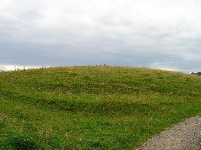
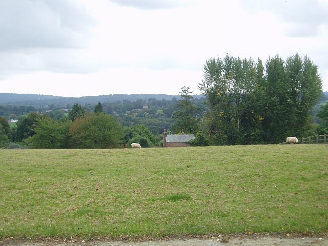
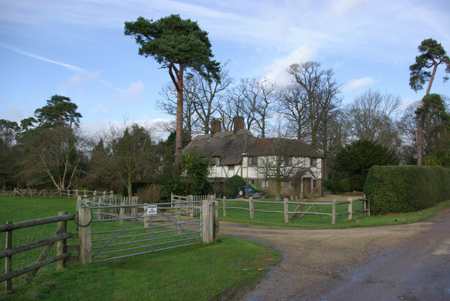
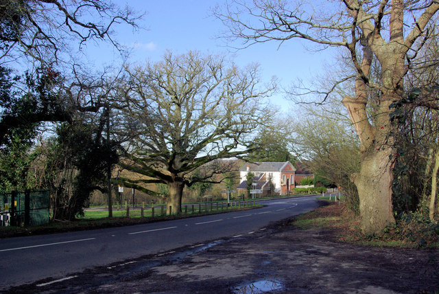
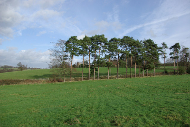
Bog Shaw is a picturesque woodland located in Sussex, England. Situated in the heart of the countryside, this forested area spans across a vast expanse, covering approximately 200 acres of land. Its dense vegetation and majestic trees create a serene and tranquil atmosphere, making it a popular destination for nature enthusiasts and hikers.
The woodland is primarily composed of ancient oak and beech trees, some of which are estimated to be several hundred years old. These towering trees create a beautiful canopy, providing shade and shelter for a diverse range of flora and fauna. The forest floor is carpeted with an array of wildflowers, ferns, and mosses, adding to the enchanting ambiance of the area.
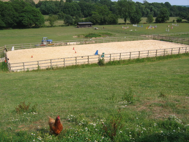
Bog Shaw is known for its rich biodiversity, hosting a variety of wildlife species. Visitors may spot deer, foxes, badgers, and numerous bird species, including woodpeckers and owls. The woodland is also home to a number of rare and protected species, making it an important conservation area.
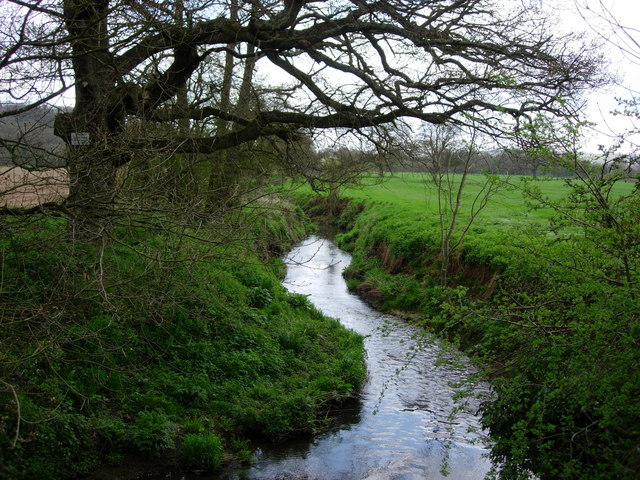
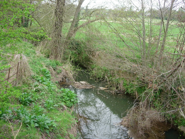
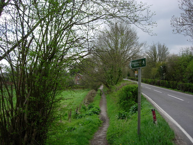
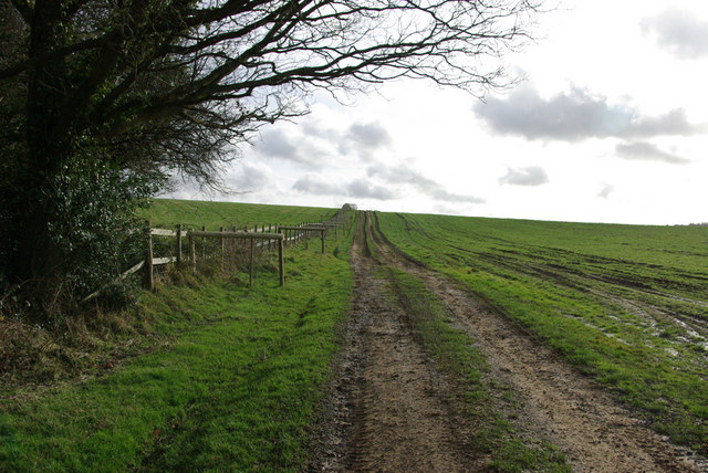
The forest offers several well-maintained walking trails, allowing visitors to explore its natural beauty at their own pace. These paths wind through the woods, offering glimpses of babbling brooks, small waterfalls, and hidden clearings. There are also designated picnic areas, offering a perfect spot to rest and enjoy the peaceful surroundings.
Bog Shaw is not only a haven for nature lovers but also serves as an educational resource. Local schools and organizations often visit the forest to learn about the diverse ecosystem and participate in various environmental activities. Overall, Bog Shaw is a cherished natural gem in Sussex, offering a place of solace and a chance to connect with the wonders of the natural world.
If you have any feedback on the listing, please let us know in the comments section below.
Bog Shaw Images
Images are sourced within 2km of 51.096948/0.12575563 or Grid Reference TQ4835. Thanks to Geograph Open Source API. All images are credited.


Bog Shaw is located at Grid Ref: TQ4835 (Lat: 51.096948, Lng: 0.12575563)
Administrative County: East Sussex
District: Wealden
Police Authority: Sussex
What 3 Words
///labels.sculpting.finely. Near Groombridge, East Sussex
Nearby Locations
Related Wikis

Withyham Priory
Withyham Priory was a Benedictine monastic house in East Sussex, extant in 1086 and dissolved in 1413. == History == Robert, Count of Mortain, some time...

Withyham
Withyham is a village and large civil parish in the Wealden district of East Sussex, England. The village is situated 7 miles south west of Royal Tunbridge...
Oliver Sutton (RAF officer)
Captain Oliver Manners Sutton (12 March 1896 – 16 August 1921) was a British First World War flying ace credited with seven aerial victories. == Family... ==

Buckhurst Park, East Sussex
Buckhurst Park is an English country house and landscaped park in Withyham, East Sussex. It is the seat of William Sackville, 11th Earl De La Warr.The...

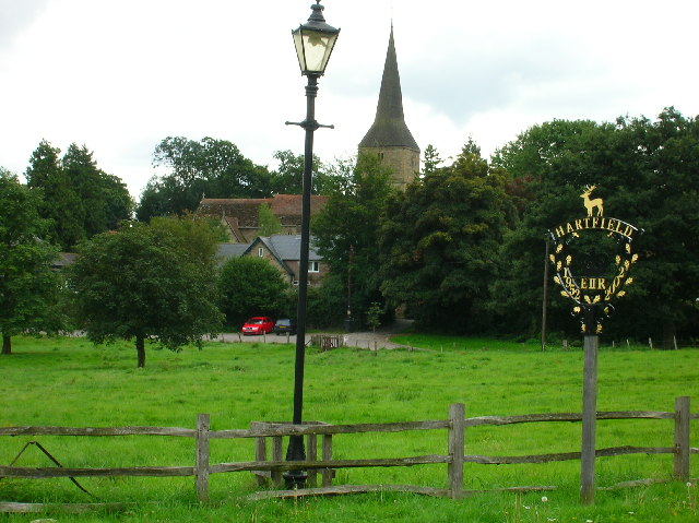
Hartfield
Hartfield is a village and civil parish in the Wealden district of East Sussex, England. The parish also includes the settlements of Colemans Hatch, Hammerwood...

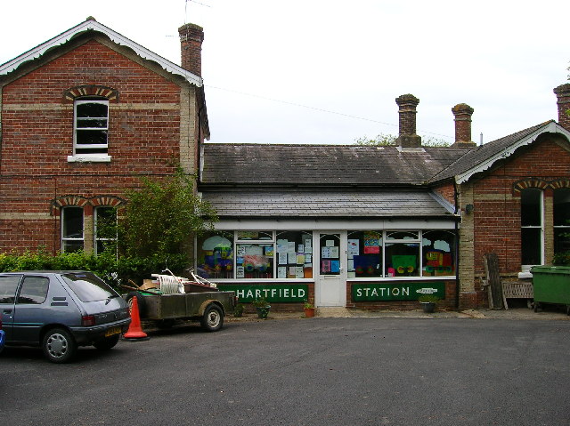
Hartfield railway station
Hartfield was a railway station serving Hartfield, England, on the Three Bridges to Tunbridge Wells Central Line which closed in 1967, a casualty of the...
Cotchford Farm
Cotchford Farm is a farmhouse building to the southwest of the village of Hartfield, East Sussex, in the High Weald Area of Outstanding Natural Beauty...
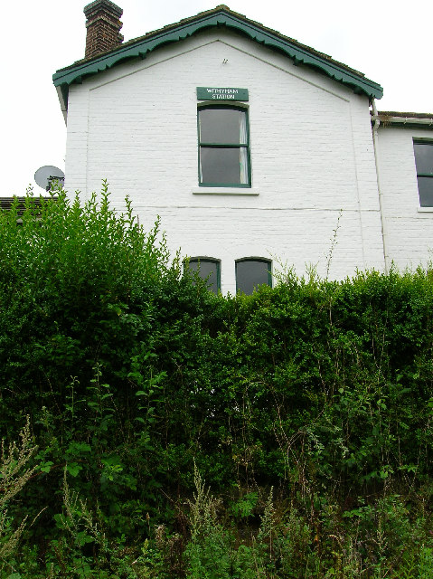
Withyham railway station
Withyham was a railway station on the Three Bridges to Tunbridge Wells Central Line which closed in 1967, a casualty of the Beeching Axe. The station opened...
Nearby Amenities
Located within 500m of 51.096948,0.12575563Have you been to Bog Shaw?
Leave your review of Bog Shaw below (or comments, questions and feedback).