Hill Water Bottom Wood

Wood, Forest in Kent Sevenoaks

England

Hill Water Bottom Wood

Emmetts The House at Emmetts is private, but the gardens are National Trust.  Towards East of gridsquare.
Emmetts Credit: Chris Shaw

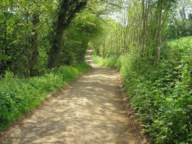
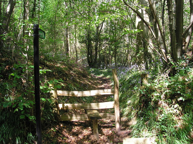
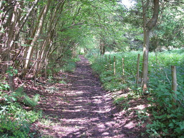
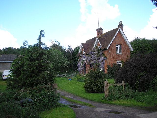
Hill Water Bottom Wood, located in Kent, is a picturesque and enchanting woodland that spans across a vast area. This beautiful forest is known for its diverse range of flora and fauna, offering visitors a unique and immersive experience in nature.

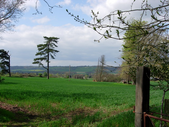
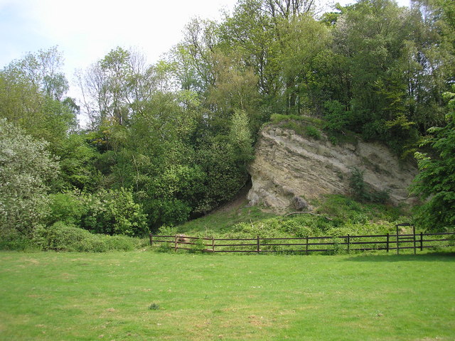
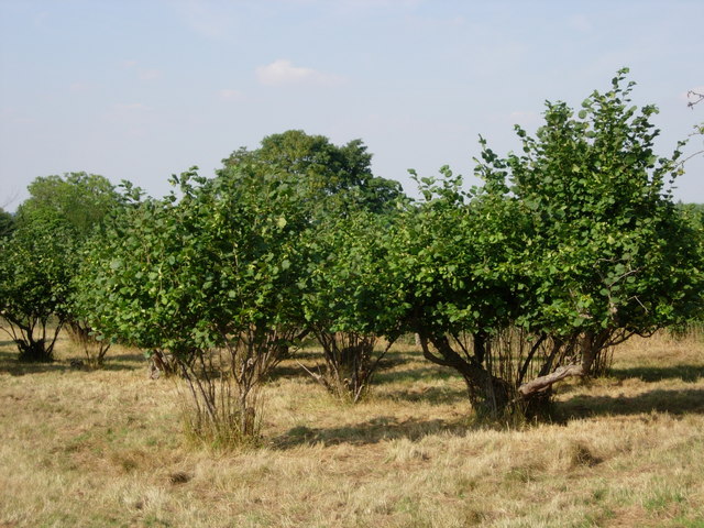
The wood is situated on a gentle hill, providing stunning panoramic views of the surrounding countryside. It is home to a wide variety of tree species, including oak, beech, and birch, which create a dense and lush canopy. The forest floor is covered in a rich carpet of moss, ferns, and wildflowers, adding to its natural charm.

For nature enthusiasts, Hill Water Bottom Wood offers a haven of wildlife. Visitors may spot a plethora of bird species, such as woodpeckers, owls, and thrushes, filling the air with their melodious songs. Small mammals like rabbits, squirrels, and hares can also be seen darting through the undergrowth, while deer graze peacefully in the meadows.

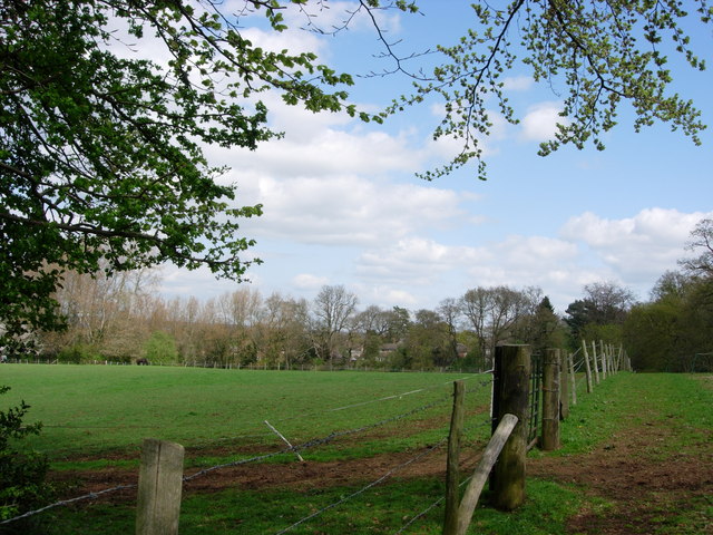
This woodland is not only a haven for wildlife but also a popular destination for outdoor activities. Visitors can explore the numerous walking trails that wind through the forest, providing an opportunity to experience the tranquility and beauty of the surroundings. Additionally, the wood offers picnic areas and camping spots, allowing for a relaxing day out or a weekend getaway.

Hill Water Bottom Wood, with its diverse ecosystems and stunning natural beauty, provides a serene escape for those seeking solace in nature. It is a place where visitors can immerse themselves in the wonders of the woodland and create lasting memories in this idyllic corner of Kent.

If you have any feedback on the listing, please let us know in the comments section below.

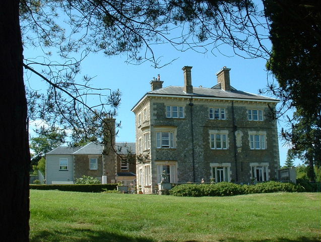
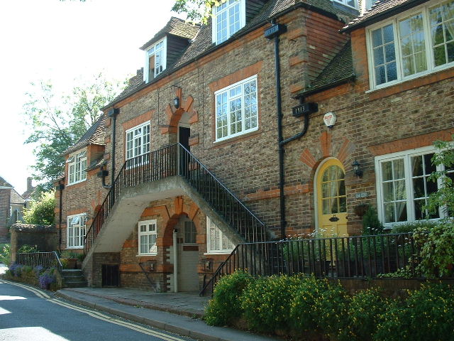
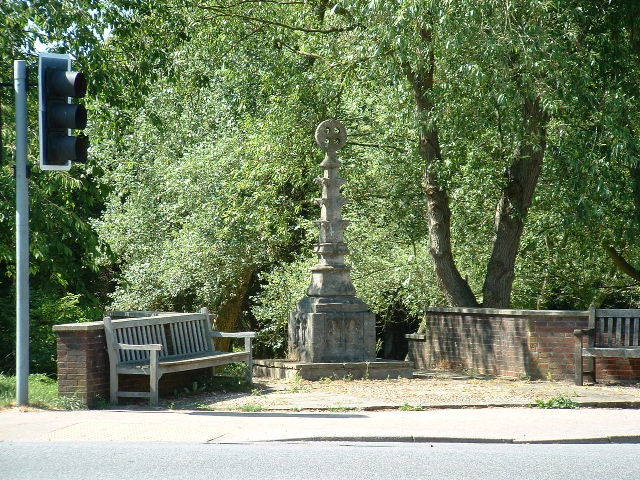
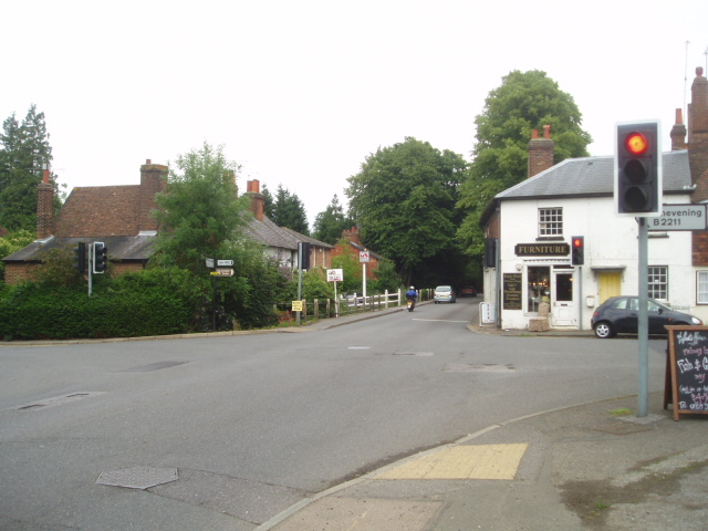
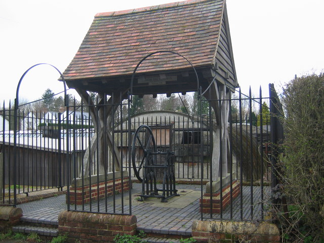
Hill Water Bottom Wood Images

Images are sourced within 2km of 51.263785/0.13304361 or Grid Reference TQ4853. Thanks to Geograph Open Source API. All images are credited.

Emmetts The House at Emmetts is private, but the gardens are National Trust.  Towards East of gridsquare.
Emmetts
The House at Emmetts is private, but the gardens are National Trust. Towards East of gridsquare.
Mond Court this interesting building at Sundridge is dated 1913 and located just South of the A25 on the Ide Hill road.
Mond Court
this interesting building at Sundridge is dated 1913 and located just South of the A25 on the Ide Hill road.
Sundridge Memorial At crossroads on A25.
Sundridge Memorial
At crossroads on A25.
Cross roads on the A25 at Sundridge A familiar view for those driving along the A25 towards Sevenoaks
Cross roads on the A25 at Sundridge
A familiar view for those driving along the A25 towards Sevenoaks
Goathurst Common Well Prior to the sinking of the well in 1901, villagers used water from rainwater storage tanks. When these ran dry, villagers had to walk down a steep hill to the springs south of Stubbs Woods, to collect their water. Piped water was brought to the area during the 1920s.
Goathurst Common Well
Prior to the sinking of the well in 1901, villagers used water from rainwater storage tanks. When these ran dry, villagers had to walk down a steep hill to the springs south of Stubbs Woods, to collect their water. Piped water was brought to the area during the 1920s.
Farmland looking towards M25 and North Downs Over the fields is Brasted village on the busy A25 with the equally busy and noisy M25 motorway beyond that, with the North downs in the distance.
Farmland looking towards M25 and North Downs
Over the fields is Brasted village on the busy A25 with the equally busy and noisy M25 motorway beyond that, with the North downs in the distance.
Birchfield Farmland This photograph was taken from New Road that runs from Ide Hill to Brasted and is looking across towards Sundridge.
Birchfield Farmland
This photograph was taken from New Road that runs from Ide Hill to Brasted and is looking across towards Sundridge.
Ragstone outcrop, Dryhill Nature Reserve, Kent Dryhill Local Nature Reserve is to be found just south of the A25 near Sundridge village.  This fine Ragstone outcrop and other interesting rock formations are to be seen.
Ragstone outcrop, Dryhill Nature Reserve, Kent
Dryhill Local Nature Reserve is to be found just south of the A25 near Sundridge village. This fine Ragstone outcrop and other interesting rock formations are to be seen.
Dryhill Lane, a public bridleway Thankfully, the southern portion of Dryhill Lane only has bridleway status, so those nasty gas-guzzling 4x4s (or other motor cars) cannot be brought here to disturb its peace.
Dryhill Lane, a public bridleway
Thankfully, the southern portion of Dryhill Lane only has bridleway status, so those nasty gas-guzzling 4x4s (or other motor cars) cannot be brought here to disturb its peace.
Footpath into Hawks Wood This path leads westward from the little-used Back Lane into Hawks Wood, near Sevenoaks, Kent.  It's late May and there are still plenty of bluebells about.
Footpath into Hawks Wood
This path leads westward from the little-used Back Lane into Hawks Wood, near Sevenoaks, Kent. It's late May and there are still plenty of bluebells about.
Little Norman Street Farmhouse I am indebted to Jean Barrow of Ide Hill for supplying the name of this attractive house on the north side of Penn Lane about half a mile west of Brook Street, near Sevenoaks, Kent
Little Norman Street Farmhouse
I am indebted to Jean Barrow of Ide Hill for supplying the name of this attractive house on the north side of Penn Lane about half a mile west of Brook Street, near Sevenoaks, Kent
A muddy bridleway It occurred to me as I took this photograph to wonder if anyone goes out taking geographs on horseback?  Some use a car, others, especially in urban areas, use public transport.  A motor cycle or bicycle is useful.  But on this extremely muddy bridleway, which runs westwards from New Road, Sundridge, Kent, a horse would have been the best of all.
A muddy bridleway
It occurred to me as I took this photograph to wonder if anyone goes out taking geographs on horseback? Some use a car, others, especially in urban areas, use public transport. A motor cycle or bicycle is useful. But on this extremely muddy bridleway, which runs westwards from New Road, Sundridge, Kent, a horse would have been the best of all.
Penn Farm, Penn Lane, near Sevenoaks, Kent The substantial farm house shown here stands on the west side of Penn Lane, whereas most of the farm buildings are on the other side of the lane, behind the photographer.
Penn Farm, Penn Lane, near Sevenoaks, Kent
The substantial farm house shown here stands on the west side of Penn Lane, whereas most of the farm buildings are on the other side of the lane, behind the photographer.
Birchwood apartments -Sundridge Originally built as a Poor Law Institution and later a hospital for people unable to look after themselves.  Today there are about 27 apartments plus individual housing.
Birchwood apartments -Sundridge
Originally built as a Poor Law Institution and later a hospital for people unable to look after themselves. Today there are about 27 apartments plus individual housing.
Farm buildings at Penn Farm - Ide Hill These farm buildings are on the other side of a very narrow road opposite Penn Farmhouse. The name "Penn" derives from the Old English Pynd, meaning an enclosure.
Farm buildings at Penn Farm - Ide Hill
These farm buildings are on the other side of a very narrow road opposite Penn Farmhouse. The name "Penn" derives from the Old English Pynd, meaning an enclosure.
Penn Farmhouse gate - Ide Hill An interesting notice on a farmhouse gate.
Penn Farmhouse gate - Ide Hill
An interesting notice on a farmhouse gate.
Converted farm buildings - near Ide Hill Sevenoaks Little Norman Street Farm buildings now converted into housing.  Something that is happening a great deal in this part of Kent.
Converted farm buildings - near Ide Hill Sevenoaks
Little Norman Street Farm buildings now converted into housing. Something that is happening a great deal in this part of Kent.
Cob Tree Orchard - Great Norman Street Farm The cob orchard at Great Norman Street farm is a hundred years old and two nearby fields are known, according to a map of 1840, as Walnut Tree Field and Cherry Field, giving an indication of the crops grown at that time.
Cob Tree Orchard - Great Norman Street Farm
The cob orchard at Great Norman Street farm is a hundred years old and two nearby fields are known, according to a map of 1840, as Walnut Tree Field and Cherry Field, giving an indication of the crops grown at that time.
Show me another place!

Hill Water Bottom Wood is located at Grid Ref: TQ4853 (Lat: 51.263785, Lng: 0.13304361)

Administrative County: Kent

District: Sevenoaks

Police Authority: Kent

What 3 Words

///spun.spent.lights. Near Sundridge, Kent

Related Wikis

Sundridge, Kent

Sundridge is a village within the civil parish of Sundridge with Ide Hill, in the Sevenoaks district of Kent, England. The village is located on the A25...

Bessels Green

Bessels Green is a village now incorporated into the built-up area of Sevenoaks in Kent, England. It is on the north-western outskirts of Sevenoaks, in...

Dryhill

Dryhill is a small hamlet in the Sevenoaks district, in the county of Kent, England. == Location == It is about two miles away from the large town of Sevenoaks...

Emmetts Garden

Emmetts Garden is an Edwardian estate located at Ide Hill, near Sevenoaks in Kent, UK. It is now owned by the National Trust for Places of Historic Interest...

Dryhill Nature Reserve

Dryhill is an 11.7-hectare (29-acre) geological Site of Special Scientific Interest on the western outskirts of Sevenoaks in Kent. It is a Geological Conservation...

Ide Hill

Ide Hill is a village within the civil parish of Sundridge with Ide Hill, in the Sevenoaks District of Kent, England. It stands on one of the highest...

Brasted

Brasted is a village and civil parish in the Sevenoaks District of Kent, England. Brasted lies on the A25 road, between Sundridge and Westerham; the road...

Radnor House Sevenoaks School

Radnor House Sevenoaks School (formerly Combe Bank School) is a coeducational private day school located in Sundridge (near Sevenoaks) in the English county...

Nearby Amenities

Located within 500m of 51.263785,0.13304361
The data included in this document is from www.openstreetmap.org. The data is made available under ODbL.

Have you been to Hill Water Bottom Wood?

Leave your review of Hill Water Bottom Wood below (or comments, questions and feedback).