Nursery Wood
Wood, Forest in Hertfordshire East Hertfordshire
England
Nursery Wood
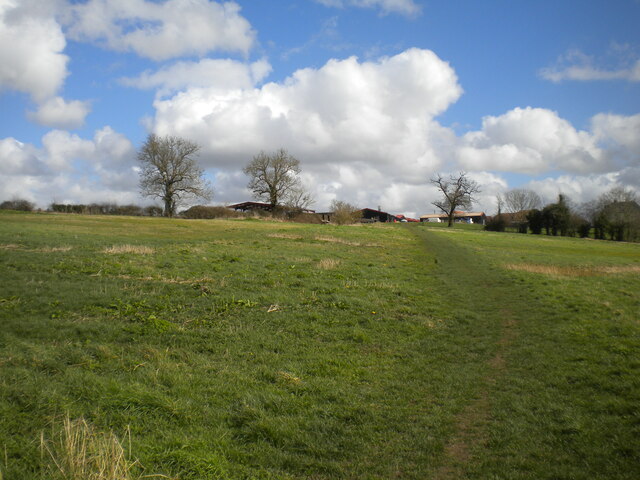
Nursery Wood is a picturesque woodland located in the county of Hertfordshire, England. Spanning over an area of approximately 50 acres, this woodland is a haven for nature enthusiasts and those seeking tranquility away from the bustling city life. The wood is situated near the village of Nursery Wood, giving it its name.
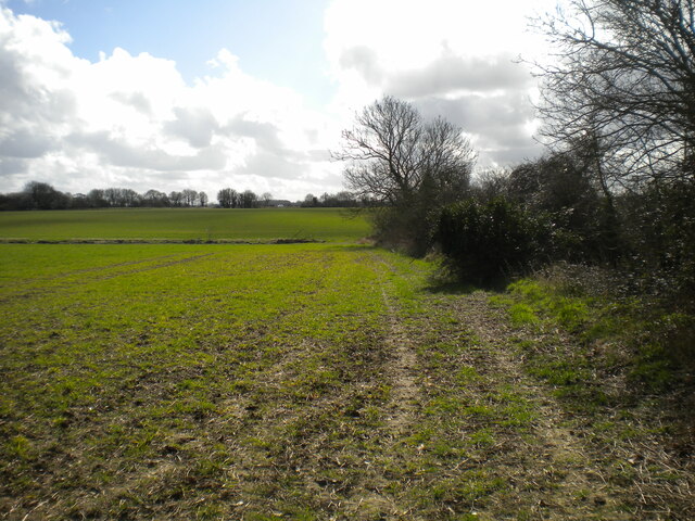
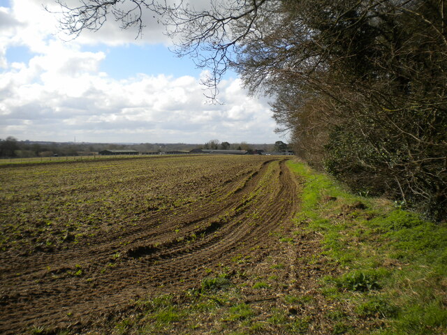
The wood is primarily composed of native broadleaf trees, such as oak, beech, and birch, which create a dense canopy overhead. The forest floor is adorned with a rich variety of wildflowers, ferns, and mosses, adding to the enchanting atmosphere. The diverse ecosystem supports a range of wildlife species, including squirrels, foxes, deer, and a variety of bird species.
Visitors to Nursery Wood can explore its winding paths and trails, immersing themselves in the beauty of nature. The wood offers an ideal setting for leisurely walks, picnics, and photography. Additionally, the wood is a popular destination for birdwatching, with many species being spotted throughout the year.
Nursery Wood is a well-maintained woodland, with designated areas for public access and recreational activities. It is managed by the local authorities to ensure the preservation of its natural beauty and ecological significance.
Overall, Nursery Wood provides a serene and idyllic retreat for nature lovers, offering a chance to connect with the natural world and enjoy the tranquility of this enchanting woodland.
If you have any feedback on the listing, please let us know in the comments section below.
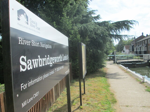
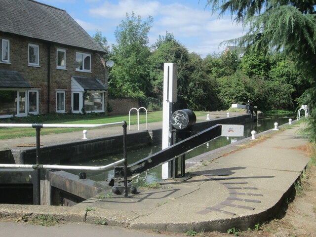
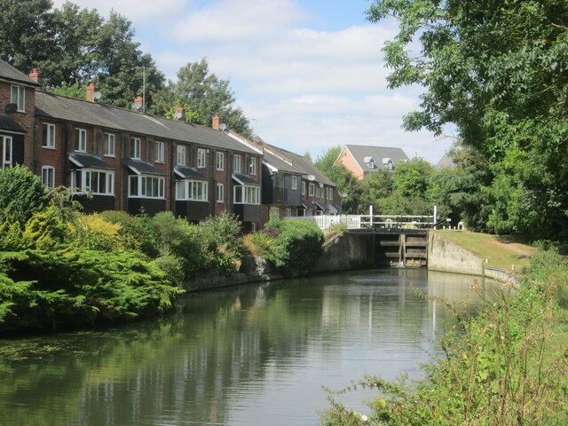
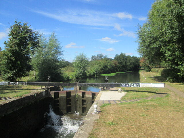
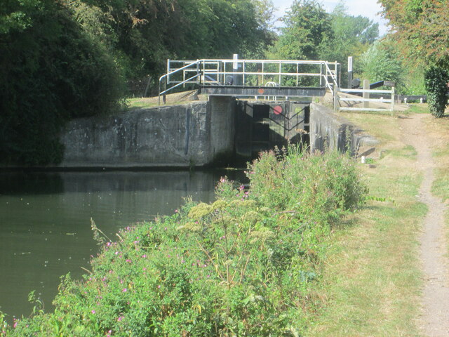
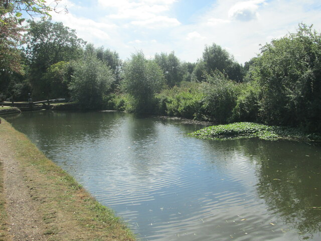
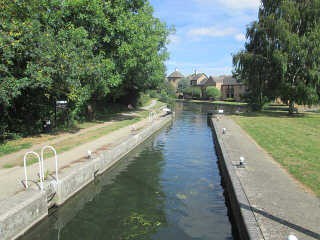
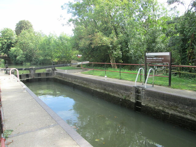
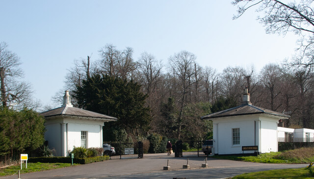
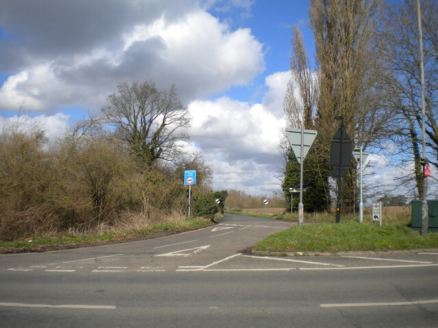
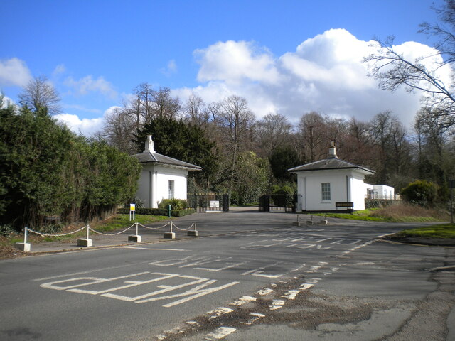
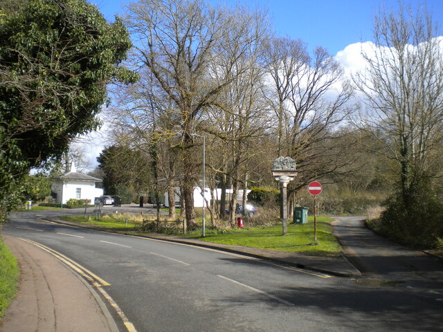
Nursery Wood Images
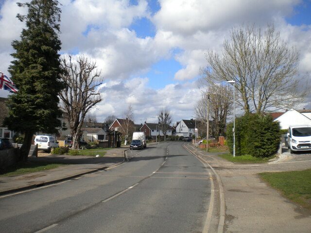
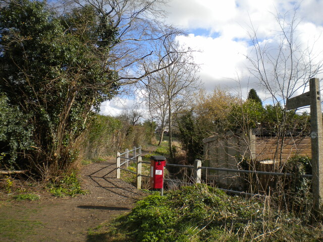
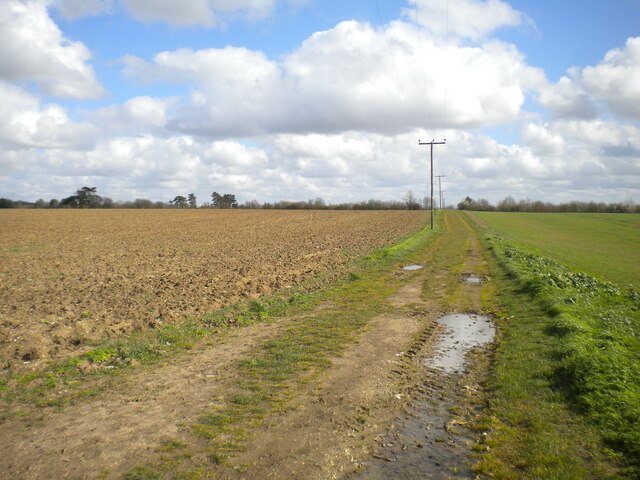
Images are sourced within 2km of 51.805937/0.1481866 or Grid Reference TL4814. Thanks to Geograph Open Source API. All images are credited.
Nursery Wood is located at Grid Ref: TL4814 (Lat: 51.805937, Lng: 0.1481866)
Administrative County: Hertfordshire
District: East Hertfordshire
Police Authority: Hertfordshire
What 3 Words
///roof.view.flesh. Near Sawbridgeworth, Hertfordshire
Nearby Locations
Related Wikis

Sawbridgeworth
Sawbridgeworth is a town and civil parish in Hertfordshire, England, close to the border with Essex. It is 12 miles (19 km) east of Hertford and 9 miles...

Lower Sheering
Lower Sheering is a residential dormitory area based on Sheering Lower Road, in the civil parish of Sheering, and the Epping Forest District of Essex,...

Pincey Brook
Pincey Brook is a watercourse in the Uttlesford and Epping Forest districts of Essex, England, and is a tributary to the River Stort. == Course == Pincey...
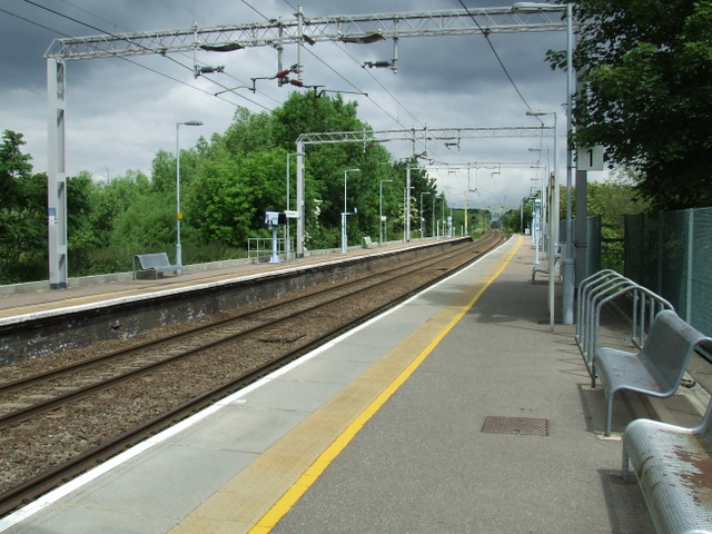
Sawbridgeworth railway station
Sawbridgeworth railway station is on the West Anglia Main Line serving the town of Sawbridgeworth in Hertfordshire, England. It is 26 miles 57 chains...
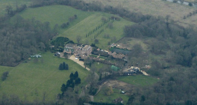
Rowneybury House
Rowneybury House is a house in Sawbridgeworth, Hertfordshire, England. The property on which Rowneybury stands was part of Pishiobury before being divided...
Sawbridgeworth Town F.C.
Sawbridgeworth Town Football Club is an English football club based in Sawbridgeworth, Hertfordshire. The club are currently members of the Spartan South...
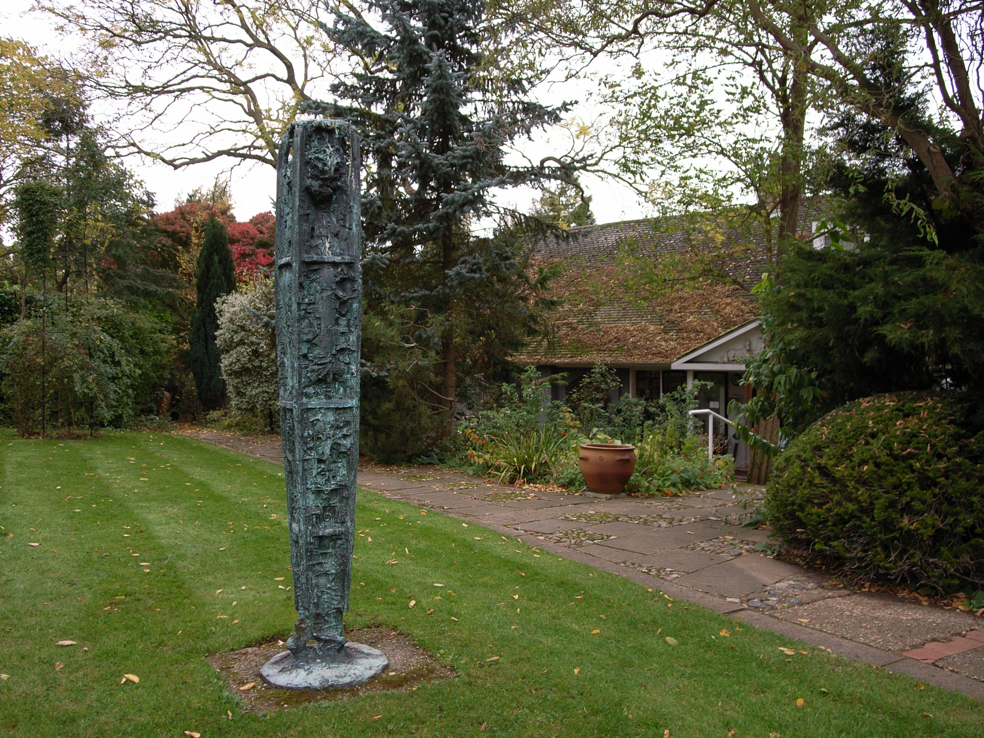
Gibberd Garden
Gibberd Garden is a garden in Harlow, Essex, England, which was created by Sir Frederick Gibberd (the planner of Harlow New Town) and his wife Patricia...
The Leventhorpe School
Leventhorpe School is a mixed, 11-19 secondary school and sixth form in the town of Sawbridgeworth, Hertfordshire. The school became an academy in August...
Nearby Amenities
Located within 500m of 51.805937,0.1481866Have you been to Nursery Wood?
Leave your review of Nursery Wood below (or comments, questions and feedback).