Sawbridgeworth
Settlement in Hertfordshire East Hertfordshire
England
Sawbridgeworth
Sawbridgeworth is a small town located in the county of Hertfordshire, England. It lies on the eastern edge of the county, just 30 miles north of London. With a population of around 9,000 residents, Sawbridgeworth maintains a close-knit and friendly community atmosphere.
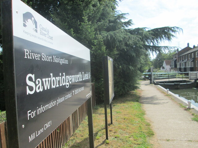
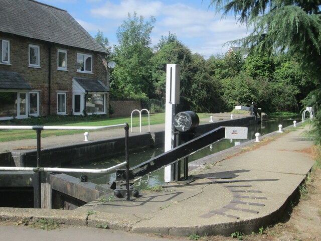
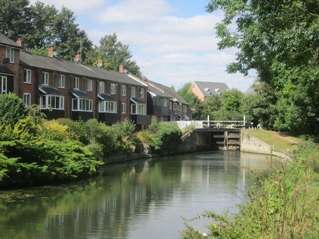
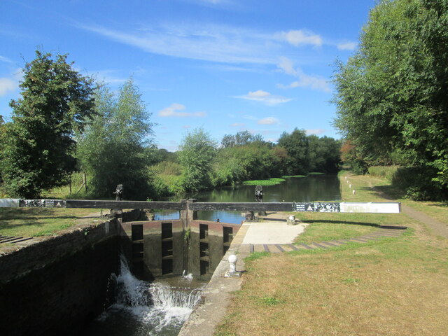
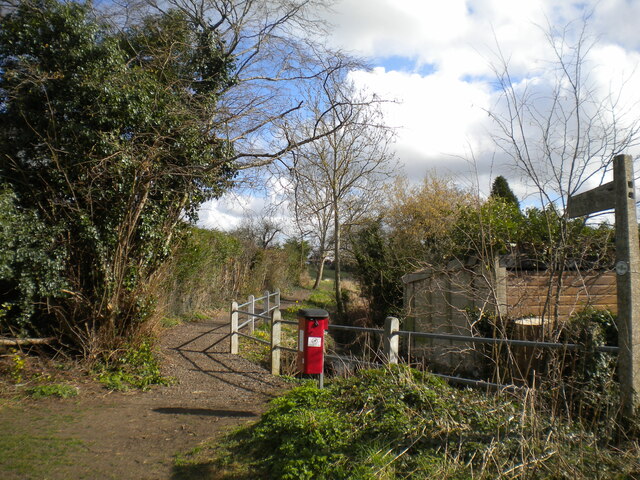
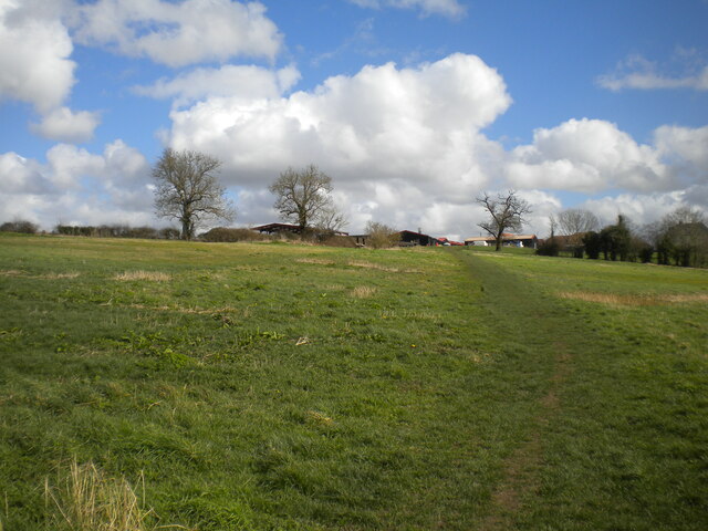
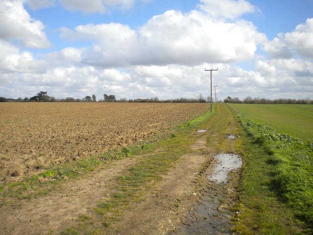
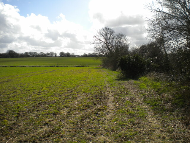
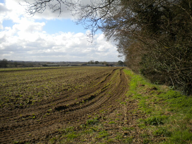
The town is known for its picturesque setting, nestled alongside the River Stort and surrounded by beautiful countryside. The local landscape is characterized by rolling hills, meadows, and ancient woodlands, providing ample opportunities for outdoor activities such as hiking, cycling, and horse riding.
Sawbridgeworth's history dates back over a thousand years, and it still retains many historic buildings and landmarks. The town's most prominent feature is Saint Mary's Church, a Grade I listed building that dates back to the 12th century. Other notable attractions include Pishiobury Park, a vast green space with a lake and wildlife, and The Maltings, a historic building complex that has been converted into a cultural and community center.
The town offers a range of amenities and services to its residents, including several schools, medical facilities, and local shops. Additionally, Sawbridgeworth benefits from excellent transport links, with a railway station that provides direct access to London Liverpool Street, making it an attractive location for commuters.
In summary, Sawbridgeworth is a charming town that combines its picturesque setting with a rich history and a vibrant community. Its proximity to London, beautiful countryside, and range of amenities make it an appealing place to live for both families and professionals.
If you have any feedback on the listing, please let us know in the comments section below.
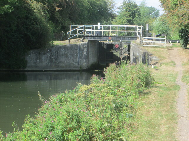
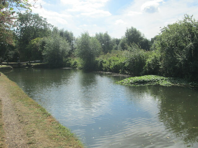
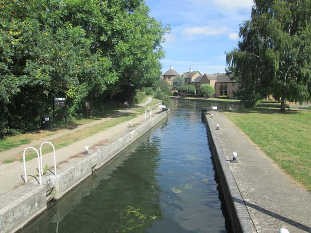
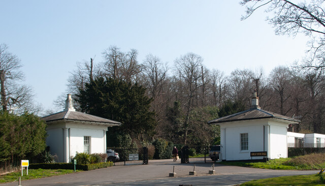
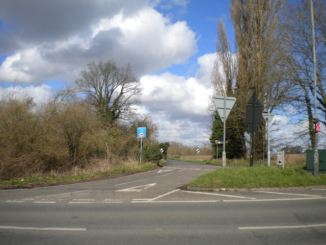
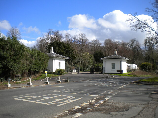
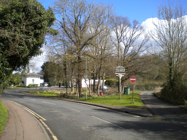
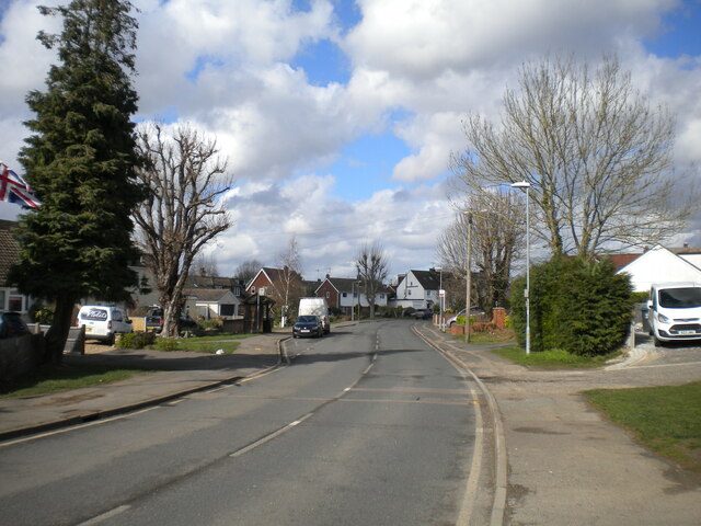
Sawbridgeworth Images
Images are sourced within 2km of 51.812274/0.151143 or Grid Reference TL4814. Thanks to Geograph Open Source API. All images are credited.

Sawbridgeworth is located at Grid Ref: TL4814 (Lat: 51.812274, Lng: 0.151143)
Administrative County: Hertfordshire
District: East Hertfordshire
Police Authority: Hertfordshire
What 3 Words
///trunk.asking.bake. Near Sawbridgeworth, Hertfordshire
Nearby Locations
Related Wikis

Sawbridgeworth
Sawbridgeworth is a town and civil parish in Hertfordshire, England, close to the border with Essex. It is 12 miles (19 km) east of Hertford and 9 miles...
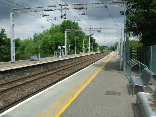
Sawbridgeworth railway station
Sawbridgeworth railway station is on the West Anglia Main Line serving the town of Sawbridgeworth in Hertfordshire, England. It is 26 miles 57 chains...

Sawbridgeworth Town F.C.
Sawbridgeworth Town Football Club is an English football club based in Sawbridgeworth, Hertfordshire. The club are currently members of the Spartan South...
Lower Sheering
Lower Sheering is a residential dormitory area based on Sheering Lower Road, in the civil parish of Sheering, and the Epping Forest District of Essex,...
Nearby Amenities
Located within 500m of 51.812274,0.151143Have you been to Sawbridgeworth?
Leave your review of Sawbridgeworth below (or comments, questions and feedback).