Beechen Grove
Wood, Forest in Kent Sevenoaks
England
Beechen Grove
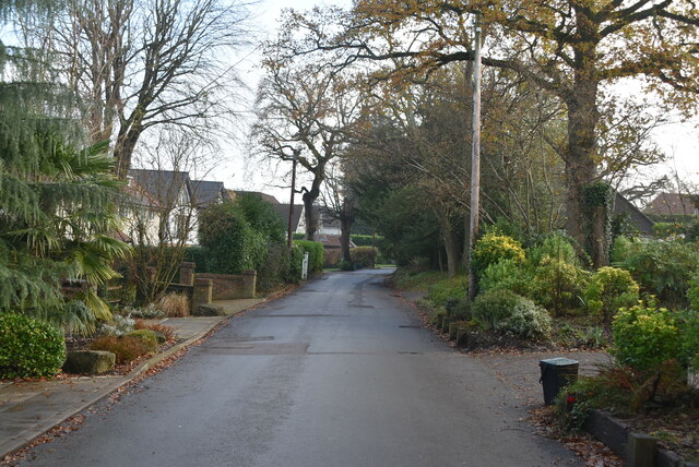
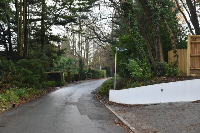
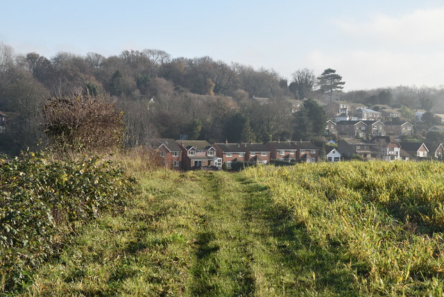
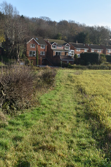
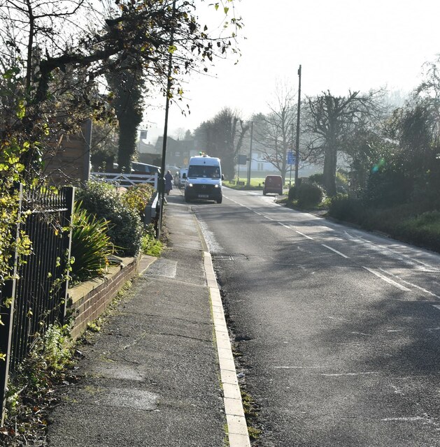
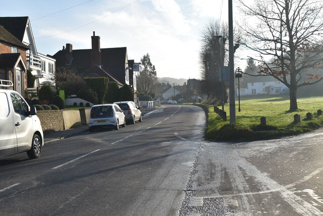
Beechen Grove is a small village located in the county of Kent, England. Situated in the Wood district, the village is surrounded by picturesque forests and woodlands, offering residents and visitors a tranquil and scenic environment.
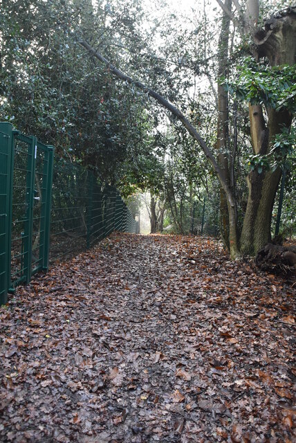
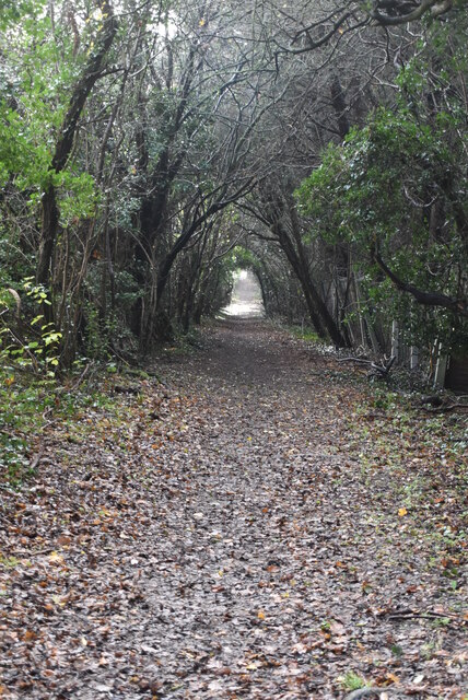
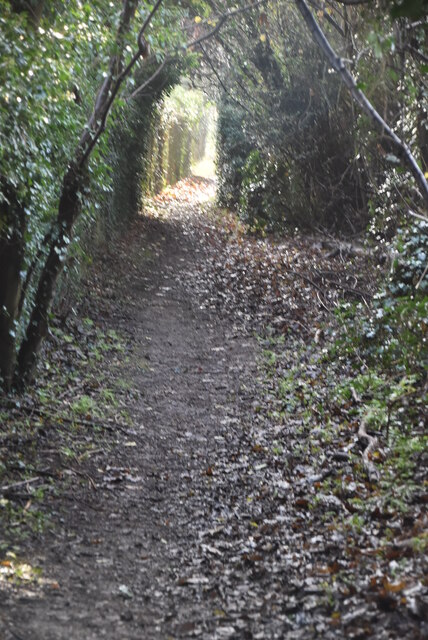
The village is known for its natural beauty, with abundant greenery and a diverse range of trees, including beech trees that give the village its name. The forests surrounding Beechen Grove provide ample opportunities for outdoor activities such as hiking, cycling, and wildlife spotting. Visitors can explore the numerous trails and paths that wind through the woods, offering breathtaking views and a chance to connect with nature.
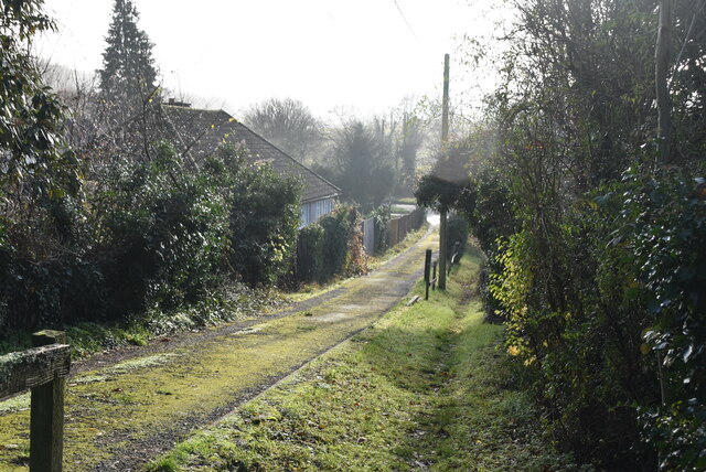
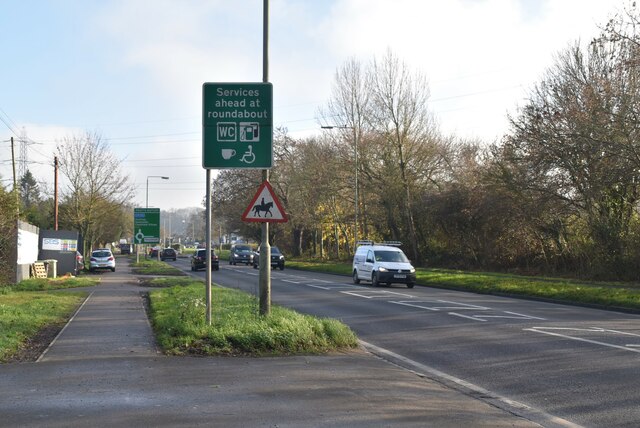
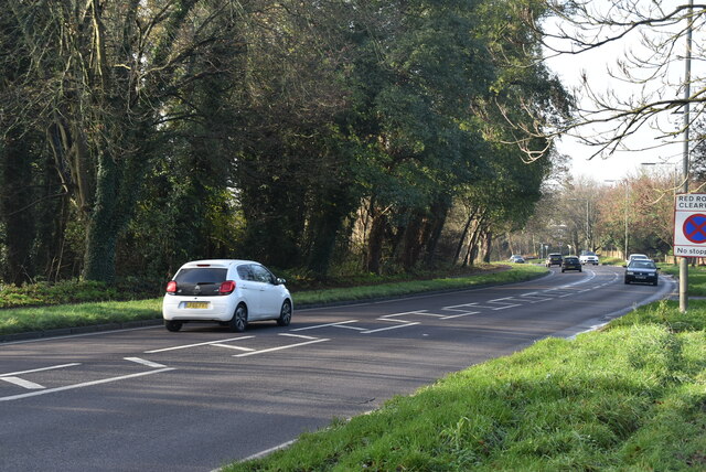
Despite its rural setting, Beechen Grove is well-connected to other towns and cities in the area. The village is located just a short distance from the town of Kent, providing residents with access to a wide range of amenities and services. Additionally, several transportation options are available, including regular bus services and nearby train stations, making it easy to travel to and from the village.
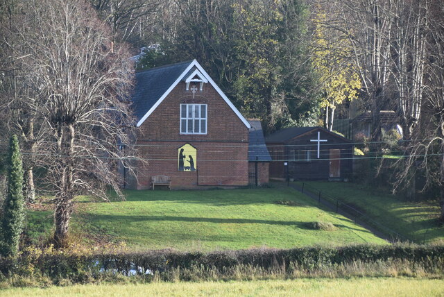
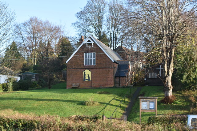
In terms of local facilities, Beechen Grove boasts a small but vibrant community. The village has a local pub, where residents can gather and socialize, and a few shops that cater to everyday needs. The close-knit community is known for its friendly atmosphere and strong sense of community spirit, with various events and activities organized throughout the year to bring residents together.
Overall, Beechen Grove offers a peaceful and idyllic setting, surrounded by beautiful woodlands and forests. With its natural beauty and strong community spirit, the village provides a desirable living environment for those seeking a harmonious balance between rural living and modern conveniences.
If you have any feedback on the listing, please let us know in the comments section below.
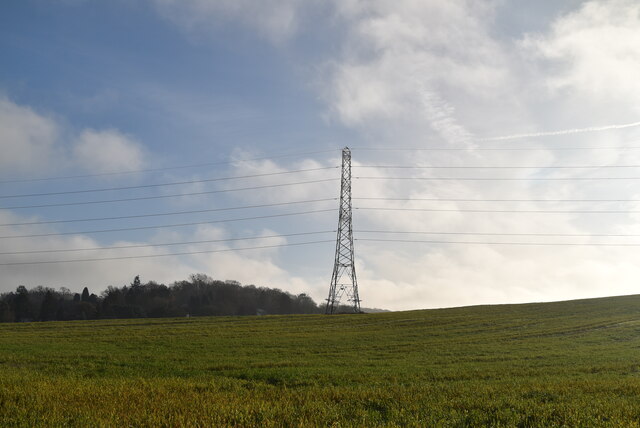
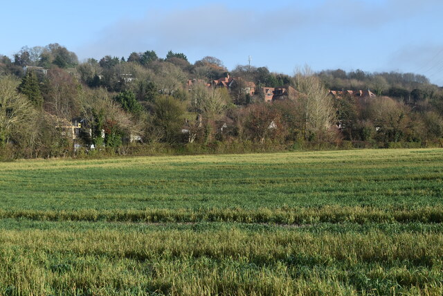
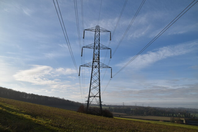
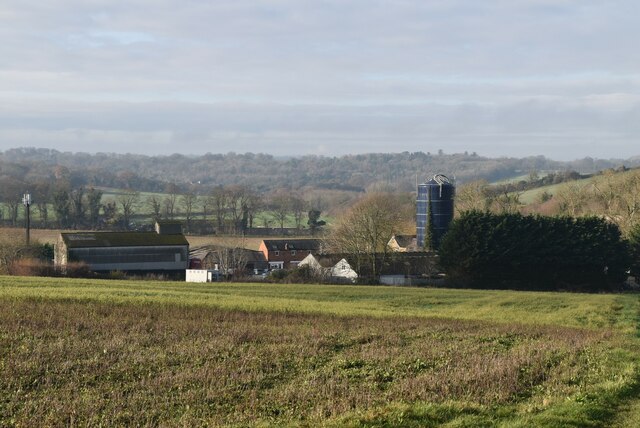
Beechen Grove Images
Images are sourced within 2km of 51.334459/0.12132022 or Grid Reference TQ4761. Thanks to Geograph Open Source API. All images are credited.
Beechen Grove is located at Grid Ref: TQ4761 (Lat: 51.334459, Lng: 0.12132022)
Administrative County: Kent
District: Sevenoaks
Police Authority: Kent
What 3 Words
///farms.marker.hands. Near Farnborough, London
Nearby Locations
Related Wikis

St Margaret's Church, Halstead
St Margaret's Church is an Anglican parish church in the village of Halstead and the Sevenoaks deanery, although the church also serves the village of...

Pratt's Bottom
Pratt's Bottom is a village in Greater London, England, within the London Borough of Bromley and, prior to 1965, within the historic county of Kent. It...

Halstead, Kent
Halstead is a village and civil parish in the Sevenoaks District of Kent, England. It is located 4.7 miles south east of Orpington & 6.1 miles north west...

Hewitt's Chalk Bank
Hewitt's Chalk Bank is a 4-hectare (10-acre) nature reserve north-east of Pratt's Bottom in the London Borough of Bromley. It is managed by the Kent Wildlife...

Knockholt railway station
Knockholt railway station is on the South Eastern Main Line, located in the London Borough of Bromley, Greater London. It is 16 miles 44 chains (26.6 km...

Badgers Mount
Badgers Mount is a village and civil parish in the Sevenoaks District of Kent, England It is located 3.6 miles south east of Orpington and 5.6 miles north...

Chelsfield railway station
Chelsfield railway station is on the South Eastern Main Line, serving the Chelsfield and Green Street Green areas south of Orpington, in the London Borough...

London Borough of Bromley
The London Borough of Bromley ( ) is the largest and southeasternmost of the London boroughs that make up Greater London, bordering the county of Kent...
Nearby Amenities
Located within 500m of 51.334459,0.12132022Have you been to Beechen Grove?
Leave your review of Beechen Grove below (or comments, questions and feedback).