Pratt's Grove

Wood, Forest in Kent

England

Pratt's Grove

World's End Lane
World's End Lane Credit: N Chadwick

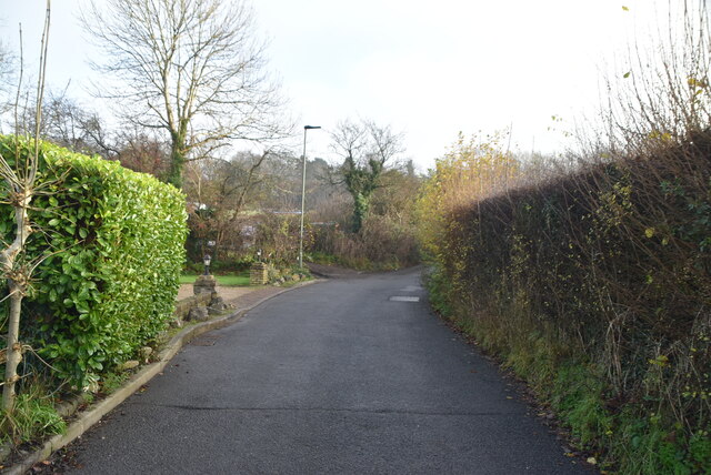
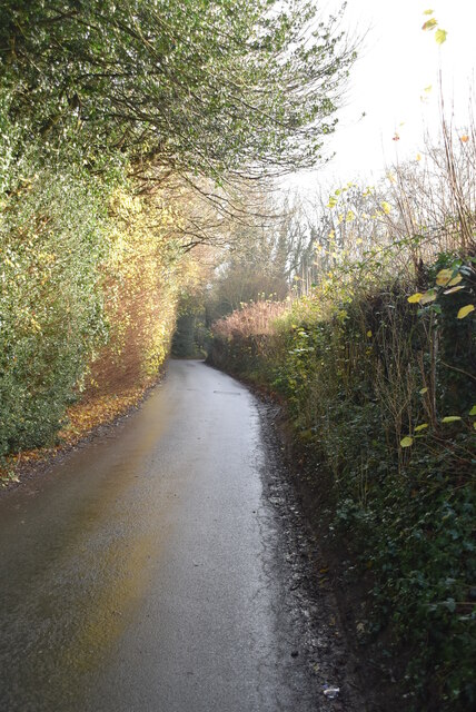
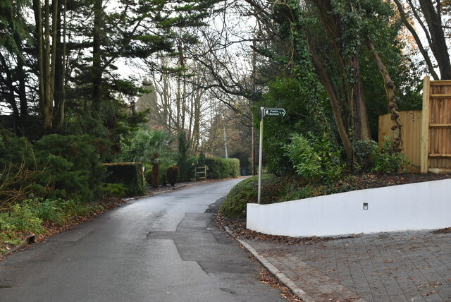
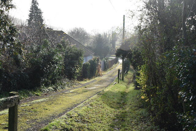
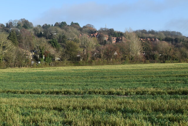
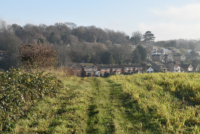
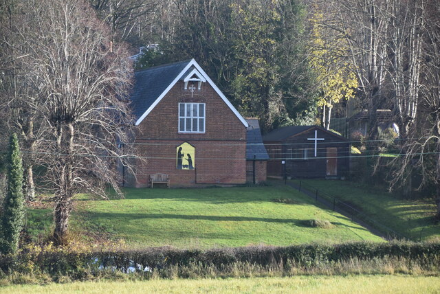
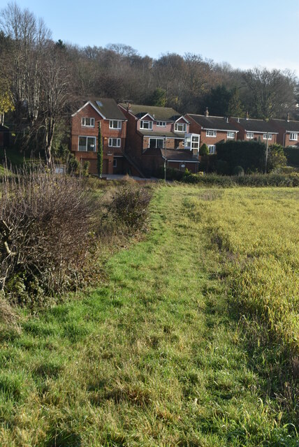
Pratt's Grove is a picturesque woodland area located in Kent, England. Situated amidst the charming countryside, it is renowned for its stunning natural beauty and tranquil atmosphere. Covering an expansive area, Pratt's Grove is a prime example of a well-preserved wood in the region.

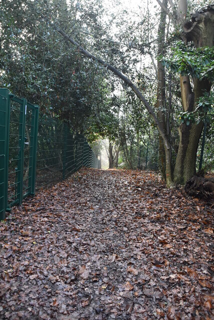
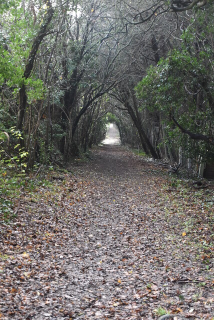
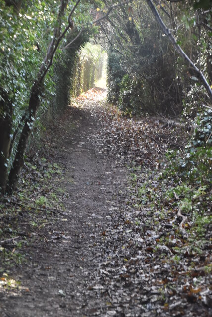
The grove is characterized by its dense forest comprised of a variety of tree species, including oak, beech, and ash, which contribute to its rich and diverse ecosystem. The lush greenery provides a haven for numerous wildlife species, such as birds, squirrels, and deer, making it a popular spot for nature enthusiasts and photographers.

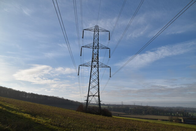
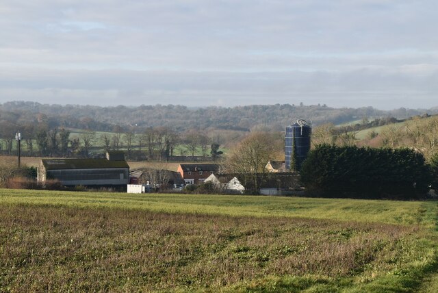
Visitors to Pratt's Grove can enjoy a range of activities, including walking along its well-maintained trails, which offer breathtaking views of the surrounding countryside. The grove is equipped with picnic areas, allowing visitors to relax and enjoy a meal amidst the serene surroundings.

In addition to its natural splendor, Pratt's Grove also has historical significance. It is believed that the grove has existed for centuries, and remnants of ancient settlements have been discovered in the area. This adds to the allure of the grove, attracting history enthusiasts who are fascinated by its past.

Overall, Pratt's Grove in Kent is a truly enchanting destination, offering visitors a chance to escape the hustle and bustle of everyday life and immerse themselves in the beauty of nature. Whether it's a leisurely walk, a picnic, or an exploration of its historical significance, the grove has something to offer for everyone.

If you have any feedback on the listing, please let us know in the comments section below.

Pratt's Grove Images

Images are sourced within 2km of 51.336579/0.1184749 or Grid Reference TQ4761. Thanks to Geograph Open Source API. All images are credited.

World's End Lane
World's End Lane
World's End Lane
World's End Lane
Homestead Rd
Homestead Rd
World's End Lane
World's End Lane
Footpath off World's End Lane
Wooded footpath
Wooded footpath
Footpath, Chelsfield Hill Wood
Footpath approaching Sevenoaks Rd
Sevenoaks Rd The A21 is a 63 mile major trunk road running  from Lewisham in Greater London to Hastings, East Sussex. The road is broken up by the M25 motorway between junction 4 and 5.
Wikipedia <span class="nowrap"><a title="http://en.wikipedia.org/wiki/A21_road_(England)" rel="nofollow ugc noopener" href="http://en.wikipedia.org/wiki/A21_road_(England)">Link</a><img style="margin-left:2px;" alt="External link" title="External link - shift click to open in new window" src="https://s1.geograph.org.uk/img/external.png" width="10" height="10"/></span>
Sevenoaks Rd
The A21 is a 63 mile major trunk road running from Lewisham in Greater London to Hastings, East Sussex. The road is broken up by the M25 motorway between junction 4 and 5. Wikipedia LinkExternal link
Pylon above Sevenoaks Rd
Farmland near Sevenoaks Rd
Charmwood Farm
Charmwood Farm
Footpath to Pratt's Bottom
All Souls' Church
All Souls' Church
Footpath to Pratt's Bottom
Show me another place!

Pratt's Grove is located at Grid Ref: TQ4761 (Lat: 51.336579, Lng: 0.1184749)

Unitary Authority: Bromley

Police Authority: Metropolitan

What 3 Words

///taxi.heavy.wallet. Near Farnborough, London

Related Wikis

Pratt's Bottom

Pratt's Bottom is a village in Greater London, England, within the London Borough of Bromley and, prior to 1965, within the historic county of Kent. It...

St Margaret's Church, Halstead

St Margaret's Church is an Anglican parish church in the village of Halstead and the Sevenoaks deanery, although the church also serves the village of...

Halstead, Kent

Halstead is a village and civil parish in the Sevenoaks District of Kent, England. It is located 4.7 miles south east of Orpington & 6.1 miles north west...

Hewitt's Chalk Bank

Hewitt's Chalk Bank is a 4-hectare (10-acre) nature reserve north-east of Pratt's Bottom in the London Borough of Bromley. It is managed by the Kent Wildlife...

Knockholt railway station

Knockholt railway station is on the South Eastern Main Line, located in the London Borough of Bromley, Greater London. It is 16 miles 44 chains (26.6 km...

Badgers Mount

Badgers Mount is a village and civil parish in the Sevenoaks District of Kent, England It is located 3.6 miles south east of Orpington and 5.6 miles north...

Chelsfield railway station

Chelsfield railway station is on the South Eastern Main Line, serving the Chelsfield and Green Street Green areas south of Orpington, in the London Borough...

London Borough of Bromley

The London Borough of Bromley ( ) is the largest and southeasternmost of the London boroughs that make up Greater London, bordering the county of Kent...

Nearby Amenities

Located within 500m of 51.336579,0.1184749
Bus Stop
Hail & Ride Pratts Bottom Primary School
Bus: yes
Naptan AtcoCode: 490000431Y
Naptan Bearing: N
Physically Present: no
Public Transport: platform
Lat/Long: 51.3373848/0.1140733
Bus Stop
Hail & Ride Pratts Bottom Primary School
Bus: yes
Naptan AtcoCode: 490000341Z
Naptan Bearing: S
Physically Present: no
Public Transport: platform
Lat/Long: 51.3375792/0.1141052
Pratts Bottom Roundabout
Playground: roundabout
Lat/Long: 51.3378572/0.113595
Pratts Bottom Climbing Frame
Playground: climbingframe
Lat/Long: 51.3379402/0.1134705
Pratts Bottom Swings
Capacity: 2
Playground: swing
Lat/Long: 51.3380151/0.1133453
Playground: swing
Lat/Long: 51.3380317/0.113425
Bomb Crater
Historic: bomb_crater
Lat/Long: 51.3345278/0.1183217
Playground: climbingframe
Lat/Long: 51.3371133/0.1134987
Grit Bin
Lat/Long: 51.339617/0.1134474
Information: South_Downs_Walking_Signpost
Tourism: information
Lat/Long: 51.3385729/0.1202059
Pratts Bottom Outhouses
Building: yes
Lat/Long: 51.3387354/0.1121904
Power: pole
Lat/Long: 51.3331204/0.1219466
Power: pole
Lat/Long: 51.3360212/0.1254094
Power: pole
Lat/Long: 51.3344795/0.1235372
Power: pole
Lat/Long: 51.3352235/0.1244813
Barrier: stile
Bicycle: no
Foot: yes
Horse: no
Material: wood
Motor Vehicle: no
Stile: stepover
Lat/Long: 51.3394887/0.1142203
Barrier: stile
Bicycle: no
Foot: yes
Horse: no
Material: wood
Motor Vehicle: no
Stile: stepover
Lat/Long: 51.3385426/0.1167622
The data included in this document is from www.openstreetmap.org. The data is made available under ODbL.

Have you been to Pratt's Grove?

Leave your review of Pratt's Grove below (or comments, questions and feedback).