Lattice Coppice
Wood, Forest in Kent
England
Lattice Coppice
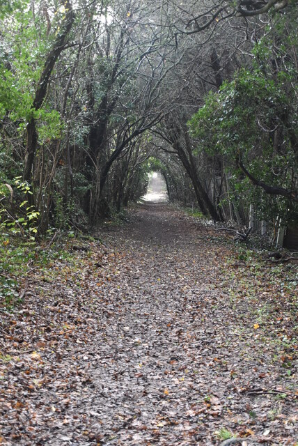
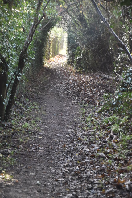
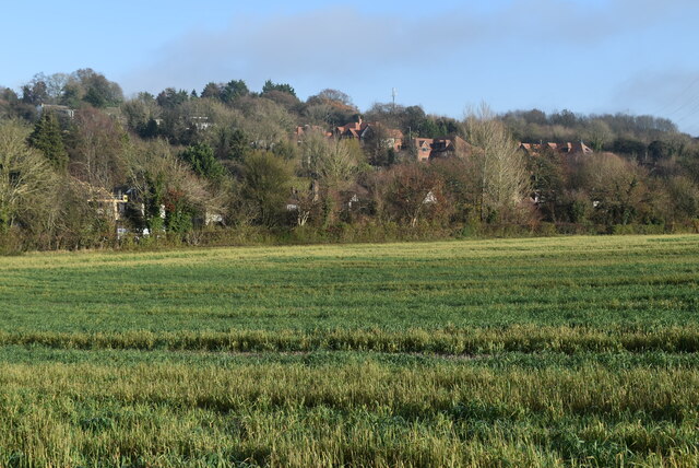
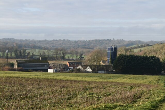
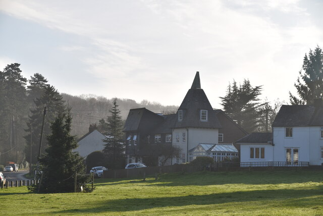
Lattice Coppice is a picturesque woodland located in the county of Kent, England. Situated near the village of Laddingford, this dense forest covers an area of approximately 100 acres and is known for its rich biodiversity and natural beauty.
The woodland is primarily composed of a mix of deciduous trees, including oak, ash, and beech, which create a stunning canopy overhead. The forest floor is covered with a diverse range of plant species, including bluebells, wild garlic, and ferns, creating a vibrant and colorful landscape throughout the year.
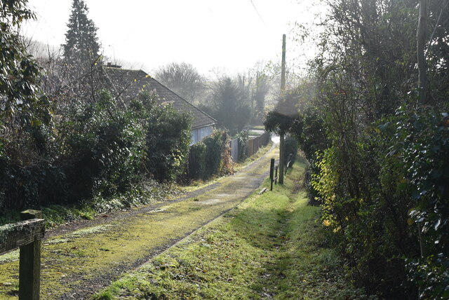
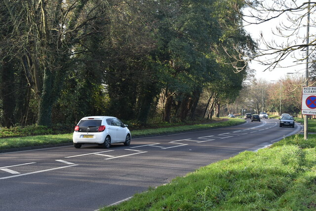
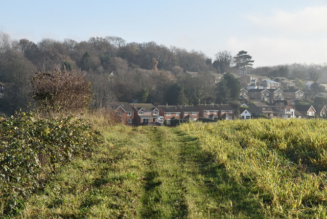
Lattice Coppice offers a tranquil and peaceful environment, making it a popular destination for nature lovers, hikers, and photographers. The woodland is crisscrossed by a network of well-maintained footpaths and trails, allowing visitors to explore the area and enjoy the beauty of the surroundings.
The forest is also home to a variety of wildlife, including deer, foxes, badgers, and numerous species of birds. Birdwatchers will be delighted to spot woodpeckers, owls, and various songbirds in the trees. The presence of such diverse flora and fauna makes Lattice Coppice an important habitat for conservation.
In addition to its natural beauty, Lattice Coppice holds historical significance as well. It is believed that the woodland has been in existence for centuries and has witnessed various human activities, including charcoal production and timber harvesting.
Overall, Lattice Coppice in Kent offers a captivating blend of natural splendor, wildlife, and historical significance, making it a must-visit destination for nature enthusiasts and those seeking a peaceful retreat.
If you have any feedback on the listing, please let us know in the comments section below.
Lattice Coppice Images
Images are sourced within 2km of 51.330599/0.1124572 or Grid Reference TQ4761. Thanks to Geograph Open Source API. All images are credited.
Lattice Coppice is located at Grid Ref: TQ4761 (Lat: 51.330599, Lng: 0.1124572)
Unitary Authority: Bromley
Police Authority: Metropolitan
What 3 Words
///quiet.wipe.digs. Near Farnborough, London
Nearby Locations
Related Wikis

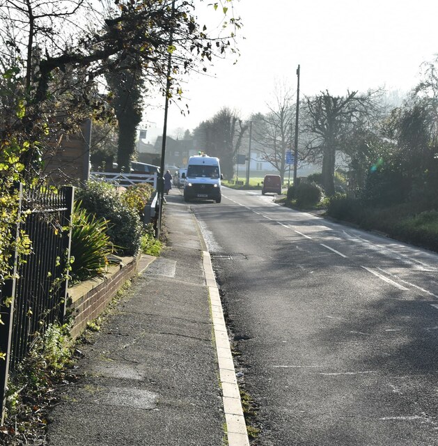
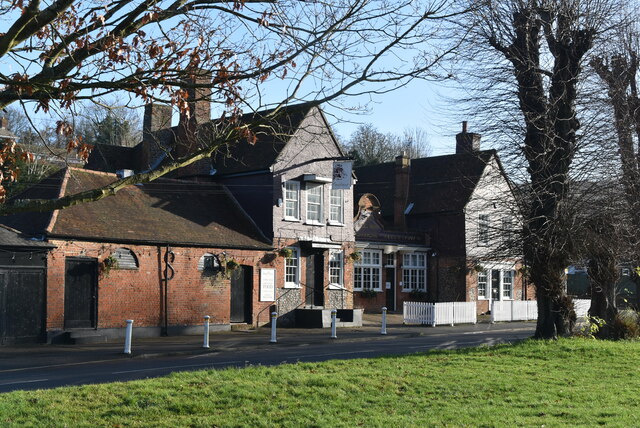
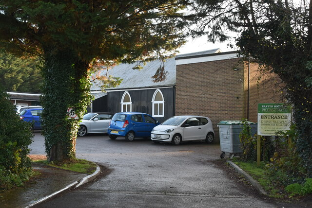
Pratt's Bottom
Pratt's Bottom is a village in Greater London, England, within the London Borough of Bromley and, prior to 1965, within the historic county of Kent. It...

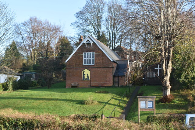
St Margaret's Church, Halstead
St Margaret's Church is an Anglican parish church in the village of Halstead and the Sevenoaks deanery, although the church also serves the village of...

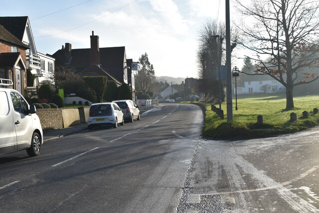
Halstead, Kent
Halstead is a village and civil parish in the Sevenoaks District of Kent, England. It is located 4.7 miles south east of Orpington & 6.1 miles north west...

Hewitt's Chalk Bank
Hewitt's Chalk Bank is a 4-hectare (10-acre) nature reserve north-east of Pratt's Bottom in the London Borough of Bromley. It is managed by the Kent Wildlife...

London Borough of Bromley
The London Borough of Bromley ( ) is the largest and southeasternmost of the London boroughs that make up Greater London, bordering the county of Kent...

Knockholt railway station
Knockholt railway station is on the South Eastern Main Line, located in the London Borough of Bromley, Greater London. It is 16 miles 44 chains (26.6 km...

St Katharine's Church, Knockholt
St Katharine's Church is an Anglican parish church in the village of Knockholt and the Sevenoaks deanery. St Katharine's and St Margaret's came together...
Knockholt
Knockholt is a village and civil parish in the Sevenoaks District of Kent, England. It is located 5 mi (8 km) north west of Sevenoaks & 5.7 mi (9.2 km...
Nearby Amenities
Located within 500m of 51.330599,0.1124572Have you been to Lattice Coppice?
Leave your review of Lattice Coppice below (or comments, questions and feedback).