Birthday Wood
Wood, Forest in Kent
England
Birthday Wood
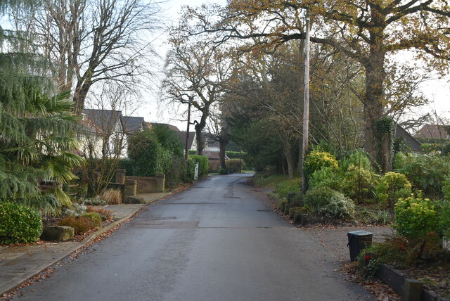
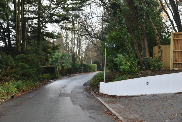
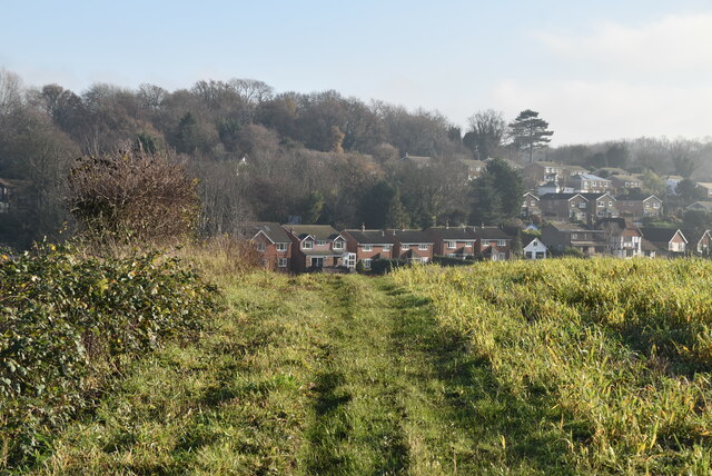
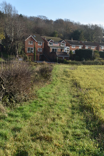
Birthday Wood, Kent is a charming and picturesque woodland located in the county of Kent, England. Covering an area of approximately 50 acres, this enchanting forest is a favorite destination for nature lovers, hikers, and families seeking outdoor adventures.
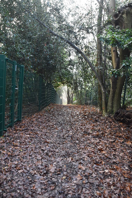
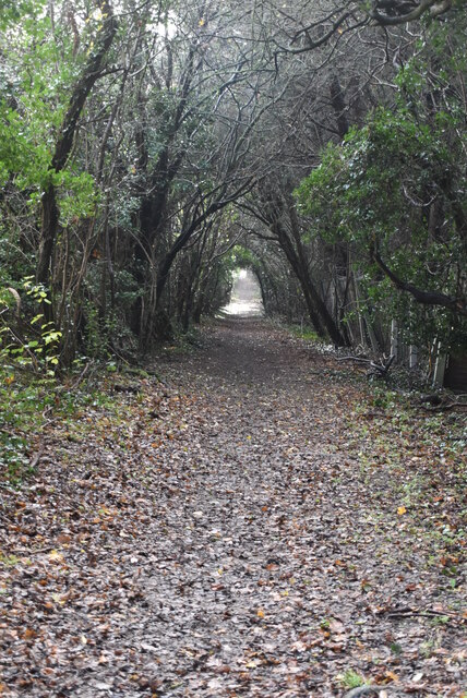
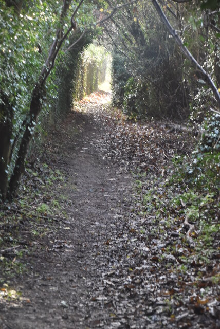
The wood is characterized by its diverse range of trees, including oak, beech, and birch, which create a vibrant and lush canopy overhead. The forest floor is adorned with an array of wildflowers, ferns, and mosses, adding to the wood's natural beauty. The woodland also features a small stream that gently meanders through its depths, providing a peaceful and serene atmosphere.
Birthday Wood offers a variety of well-maintained trails and footpaths, making it ideal for leisurely strolls, energetic walks, or even a refreshing jog. The paths wind through the woods, allowing visitors to explore its hidden corners and discover secluded spots perfect for picnics or relaxation. The wood also provides ample opportunities for wildlife spotting, with a diverse range of bird species, small mammals, and insects calling it home.
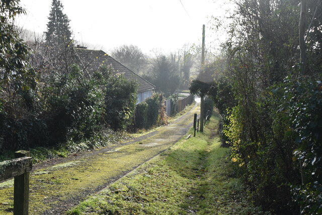
While there are no facilities within Birthday Wood itself, the nearby town of Kent offers a range of amenities, including parking facilities, cafes, and shops. The wood is easily accessible by car or public transportation, with several bus routes passing close by.
With its serene atmosphere, scenic beauty, and diverse flora and fauna, Birthday Wood, Kent is a haven for nature enthusiasts and those seeking a peaceful retreat in the heart of the English countryside.
If you have any feedback on the listing, please let us know in the comments section below.
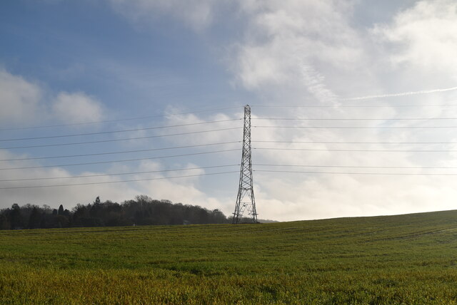
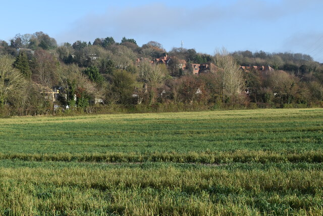
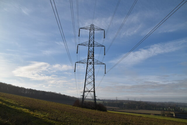
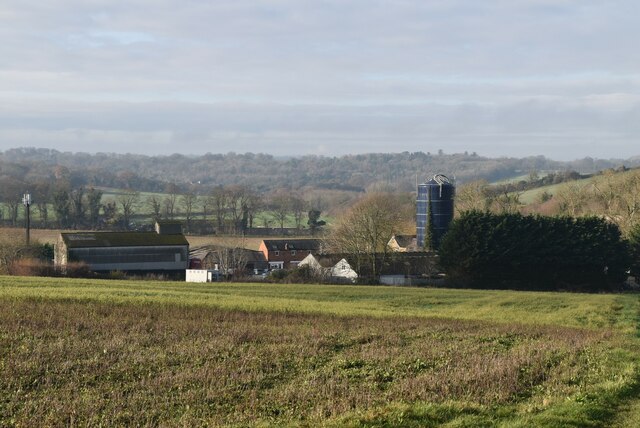
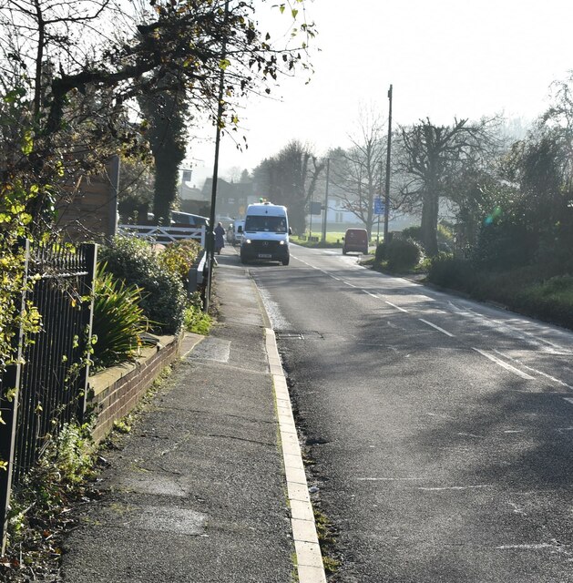
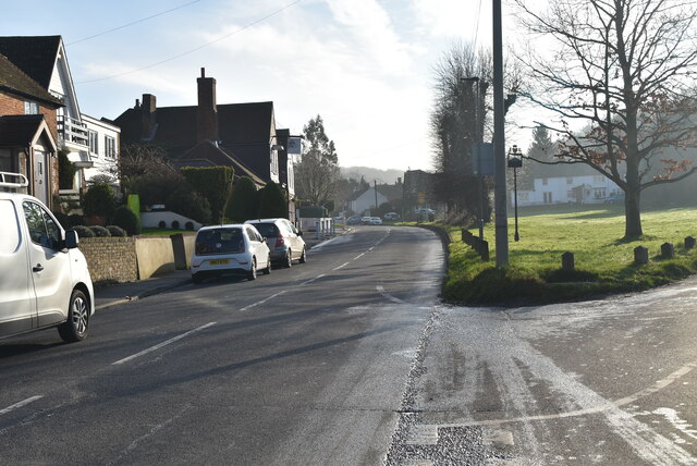
Birthday Wood Images
Images are sourced within 2km of 51.334089/0.11940811 or Grid Reference TQ4761. Thanks to Geograph Open Source API. All images are credited.
Birthday Wood is located at Grid Ref: TQ4761 (Lat: 51.334089, Lng: 0.11940811)
Unitary Authority: Bromley
Police Authority: Metropolitan
What 3 Words
///onions.early.sits. Near Farnborough, London
Nearby Locations
Related Wikis

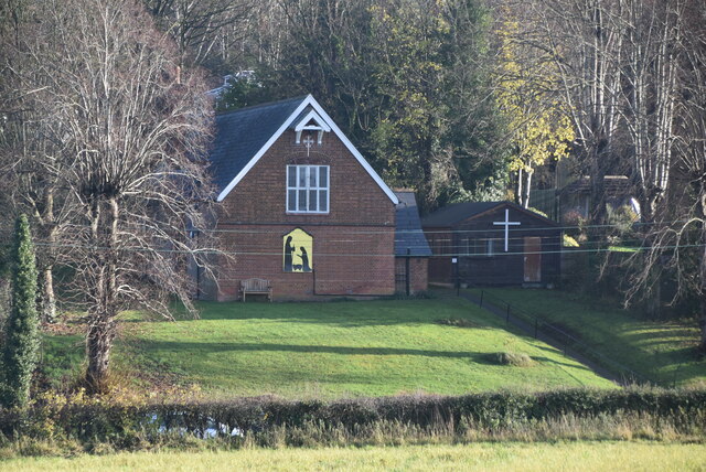
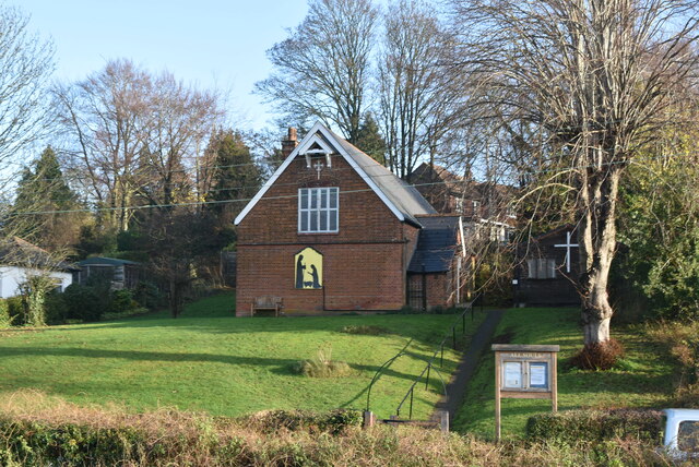
St Margaret's Church, Halstead
St Margaret's Church is an Anglican parish church in the village of Halstead and the Sevenoaks deanery, although the church also serves the village of...

Pratt's Bottom
Pratt's Bottom is a village in Greater London, England, within the London Borough of Bromley and, prior to 1965, within the historic county of Kent. It...

Halstead, Kent
Halstead is a village and civil parish in the Sevenoaks District of Kent, England. It is located 4.7 miles south east of Orpington & 6.1 miles north west...

Hewitt's Chalk Bank
Hewitt's Chalk Bank is a 4-hectare (10-acre) nature reserve north-east of Pratt's Bottom in the London Borough of Bromley. It is managed by the Kent Wildlife...

Knockholt railway station
Knockholt railway station is on the South Eastern Main Line, located in the London Borough of Bromley, Greater London. It is 16 miles 44 chains (26.6 km...

Badgers Mount
Badgers Mount is a village and civil parish in the Sevenoaks District of Kent, England It is located 3.6 miles south east of Orpington and 5.6 miles north...

London Borough of Bromley
The London Borough of Bromley ( ) is the largest and southeasternmost of the London boroughs that make up Greater London, bordering the county of Kent...

Chelsfield railway station
Chelsfield railway station is on the South Eastern Main Line, serving the Chelsfield and Green Street Green areas south of Orpington, in the London Borough...
Nearby Amenities
Located within 500m of 51.334089,0.11940811Have you been to Birthday Wood?
Leave your review of Birthday Wood below (or comments, questions and feedback).