Harlow Park

Wood, Forest in Essex Epping Forest

England

Harlow Park

Layby on London Road, Hastingwood
Layby on London Road, Hastingwood Credit: David Howard

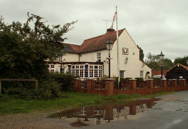
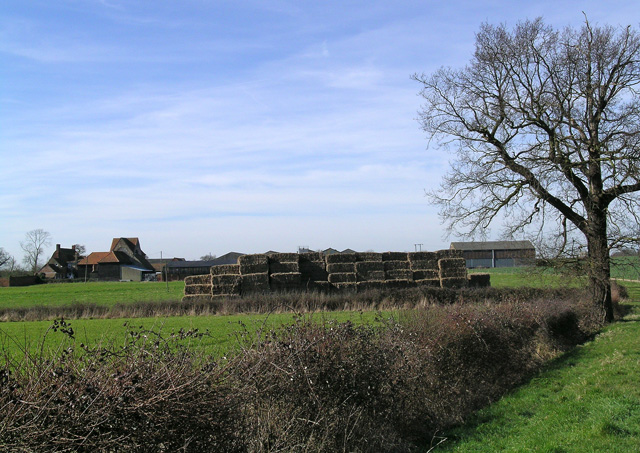
Harlow Park, located in Essex, is a picturesque woodland area known for its natural beauty and recreational opportunities. Situated in the town of Harlow, this park covers a vast area of approximately 164 hectares, providing visitors with ample space to explore and enjoy the outdoors.

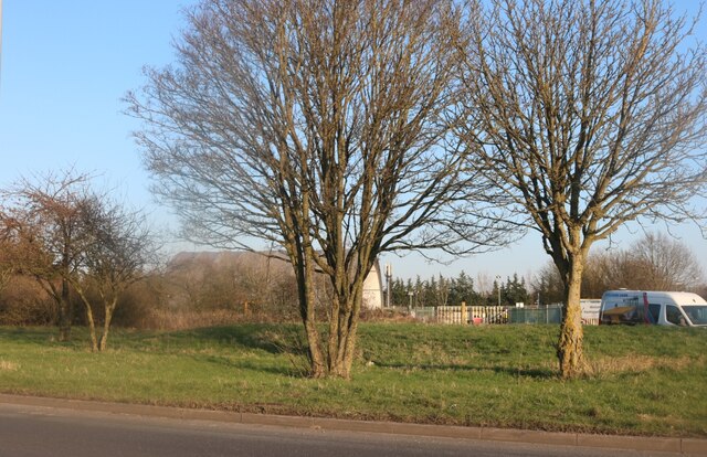
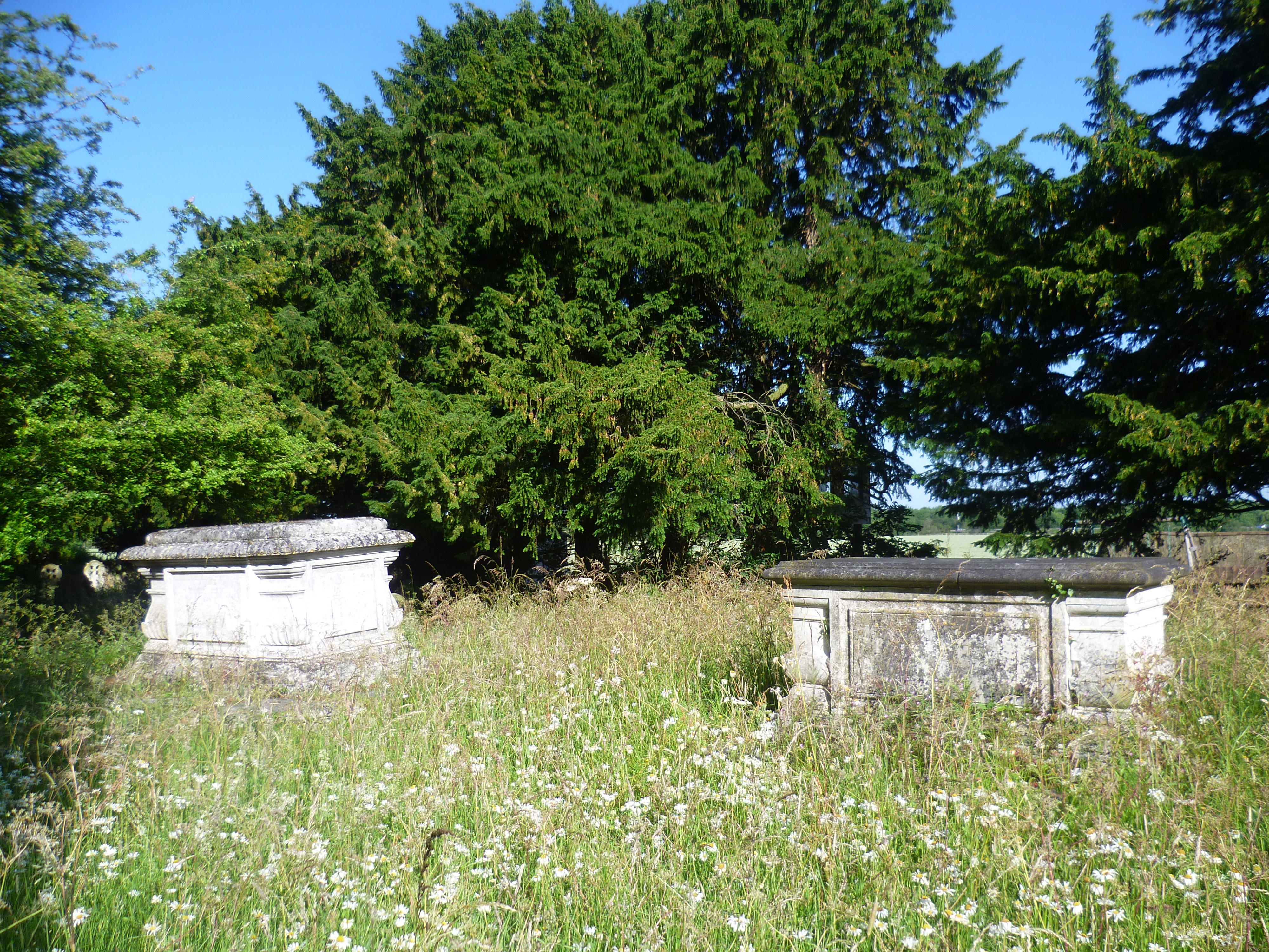
The park is predominantly made up of ancient woodland, with a variety of tree species such as oak, birch, and beech creating a dense and lush forest canopy. This wooded landscape offers a tranquil environment, making it an ideal destination for those seeking peace and solitude.

Within the park, there are several well-maintained walking trails and paths that wind through the woodlands, allowing visitors to immerse themselves in nature. These paths are suitable for leisurely strolls, jogging, or even cycling, catering to a range of outdoor enthusiasts.

Wildlife lovers will be delighted by the diverse array of fauna that call Harlow Park home. Squirrels, rabbits, and various species of birds are frequently spotted throughout the forest, providing opportunities for nature photography and observation.

Furthermore, the park offers various recreational facilities, including a children's play area, picnic spots, and open green spaces perfect for family outings or gatherings with friends. Additionally, there are designated barbecue areas, enabling visitors to enjoy a sizzling feast amidst the natural surroundings.

Harlow Park, Essex, with its stunning woodland scenery and numerous amenities, serves as a haven for nature enthusiasts and those seeking an escape from the hustle and bustle of urban life. Whether it's a peaceful walk, a family day out, or a picnic surrounded by nature, this park provides a serene and enjoyable experience for all.

If you have any feedback on the listing, please let us know in the comments section below.
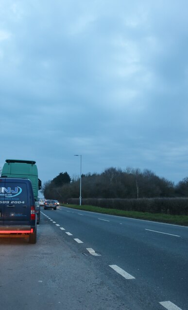
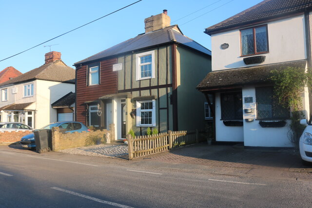
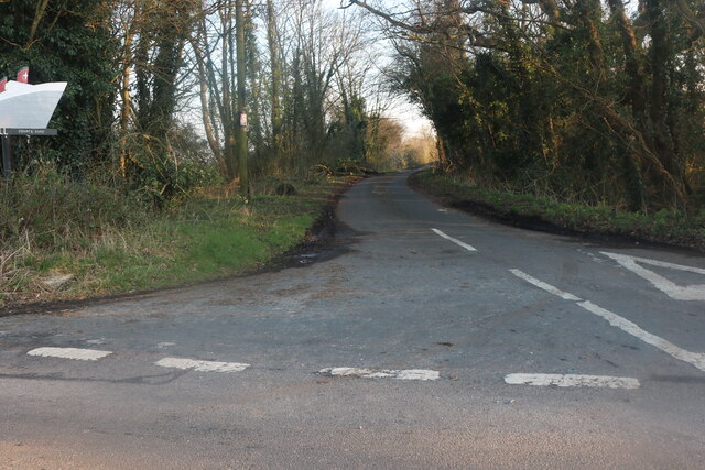
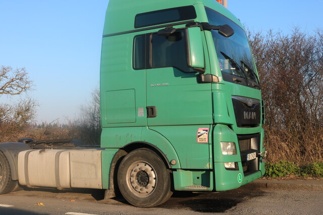
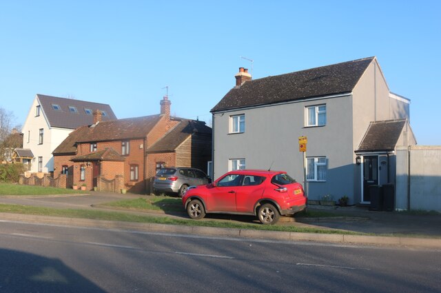
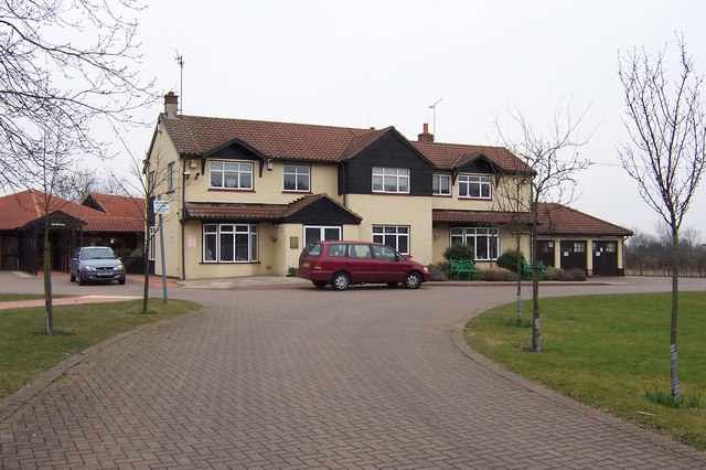
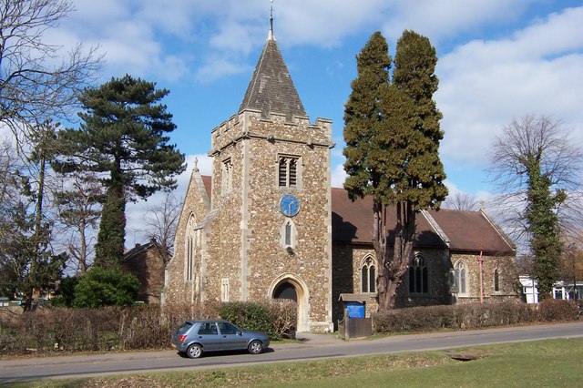
Harlow Park Images

Images are sourced within 2km of 51.749272/0.14100547 or Grid Reference TL4707. Thanks to Geograph Open Source API. All images are credited.

Layby on London Road, Hastingwood
Bellevue Villas, Hastingwood
Access road to Sewalds Hall, Hastingwood
House on Hastingwood Road, Magdalen Laver
Romanian lorry on London Road, Hastingwood Romania are the only other country to use our current number plate format, except for Budapest which starts with a single B.
Romanian lorry on London Road, Hastingwood
Romania are the only other country to use our current number plate format, except for Budapest which starts with a single B.
Houses on London Road, Hastingwood
London Road, Hastingwood Looking towards Hastingwood Depot used by Essex Council.
London Road, Hastingwood
Looking towards Hastingwood Depot used by Essex Council.
Flower Festival at St. Mary Magdalene, Harlow St. Mary Magdalene, Harlow holds regular flower festivals which denote a specific event. The one pictured is from the Victory in Europe display, 2005.
Although now part of Harlow New Town, St. Mary Magdalene was the village church for Potter Street, one of the villages swallowed up by the development of the new town.
Flower Festival at St. Mary Magdalene, Harlow
St. Mary Magdalene, Harlow holds regular flower festivals which denote a specific event. The one pictured is from the Victory in Europe display, 2005. Although now part of Harlow New Town, St. Mary Magdalene was the village church for Potter Street, one of the villages swallowed up by the development of the new town.
St Clare Hospice, Hastingwood The St.Clare Hospice, Hastingwood, near Harlow provides support and help for terminally ill patients and their carers. It is entirely a self funding charity and has earned an enviable reputation in the care provided, the dedication and extertise of the staff, the nursing facilities and the support given to patients and their families.
St Clare Hospice, Hastingwood
The St.Clare Hospice, Hastingwood, near Harlow provides support and help for terminally ill patients and their carers. It is entirely a self funding charity and has earned an enviable reputation in the care provided, the dedication and extertise of the staff, the nursing facilities and the support given to patients and their families.
St. Mary Magdalene, Potter Street St. Mary Magdalene is situated on the south east corner of Harlow New Town. The building is late Victorian of Gothic flint and was built circa 1888.
St. Mary Magdalene, Potter Street
St. Mary Magdalene is situated on the south east corner of Harlow New Town. The building is late Victorian of Gothic flint and was built circa 1888.
McDonald's, near Harlow, Essex This McDonald's stands close to junction 7 of the M11, on the Epping to Harlow road.
McDonald's, near Harlow, Essex
This McDonald's stands close to junction 7 of the M11, on the Epping to Harlow road.
'Rainbow And Dove' public house, Hastingwood, Essex This pub is quite close to junction 7 of the M11.  It's an attractive pub and very popular.
'Rainbow And Dove' public house, Hastingwood, Essex
This pub is quite close to junction 7 of the M11. It's an attractive pub and very popular.
Church Langley Water Tower Built between 1993 and 1994 the tower stores water for businesses and homes in the Church Langley area of Harlow. The tower is 36.5 metres (120 feet) tall.
Church Langley Water Tower
Built between 1993 and 1994 the tower stores water for businesses and homes in the Church Langley area of Harlow. The tower is 36.5 metres (120 feet) tall.
Hastingwood Road looking east
Wynters Farm, just east of Hastingwood, Essex
'The Horns & Horseshoes' inn at Foster Street, Essex
Canes Farm, just southeast of Hastingwood, Essex
Latton Priory taken from the Rundells footpath, off B1393 Latton Priory is to the left off this photo but I also wanted to capture the farmland with the haystacks and tree
Latton Priory taken from the Rundells footpath, off B1393
Latton Priory is to the left off this photo but I also wanted to capture the farmland with the haystacks and tree
Show me another place!

Harlow Park is located at Grid Ref: TL4707 (Lat: 51.749272, Lng: 0.14100547)

Administrative County: Essex

District: Epping Forest

Police Authority: Essex

What 3 Words

///undulation.fans.reveal. Near Harlow, Essex

Related Wikis

A414 road

The A414 is a major road in England, which connects the towns of Hemel Hempstead in Hertfordshire and Maldon in Essex. The road commences at the A41, at...

Hastingwood

Hastingwood is a hamlet in the North Weald Bassett civil parish of the Epping Forest district of Essex, England. The hamlet is centred on the junction...

Passmores Academy

Passmores Academy is a 11-16 secondary school in Harlow, Essex.The academy has an annual intake of 240 pupils in Year 7, and approximately 1,000 pupils...

Brays Grove Community School

Brays Grove Community School was a mixed secondary school located within the town of Harlow in Essex, England. The school was closed in 2008 due to falling...

Foster Street

Foster Street is a hamlet in the North Weald Bassett civil parish of the Epping Forest district in the English county of Essex. A non-conformist burying...

Latton Priory

Latton Priory was a small priory in Essex, England. Its site is about 1 km south of the outskirts of the modern town of Harlow. The priory was founded...

Church Langley

Church Langley is part of Harlow, Essex, England.Church Langley was built from 1992 and was originally named Brenthall Park, consisting of three developers...

Newhall, Essex

Newhall is a new housing estate within Harlow, Essex, England. In 2009, it was being built on land originally forming part of Soper Farm. A landowner led...

Nearby Amenities

Located within 500m of 51.749272,0.14100547
Created By: YahooApplet 1.0
Lat/Long: 51.7454297/0.1393268
Created By: YahooApplet 1.0
Lat/Long: 51.7512857/0.1444649
Motorway Junction
Hastingwood Interchange
Ref: 7
Lat/Long: 51.7468377/0.1406485
Created By: YahooApplet 1.0
Lat/Long: 51.7460074/0.1397902
Created By: YahooApplet 1.0
Lat/Long: 51.7478208/0.1416033
Created By: YahooApplet 1.0
Lat/Long: 51.7524703/0.1451868
Fuel
Shell
Addr Postcode: CM17 9AD
Brand: Shell
Brand Wikidata: Q110716465
Fuel Diesel: yes
Fuel Lpg: yes
Fuel Octane 95: yes
Phone: +44 1279 438512
Ref Navads: NVDS353_10018843
Website: https://find.shell.com/gb/fuel/10018843-shell-harlow
Lat/Long: 51.7493523/0.1337908
Fuel
BP
Brand: BP
Brand Wikidata: Q152057
Brand Wikipedia: en:BP
Fuel Diesel: yes
Fuel Octane 95: yes
Operator: BP
Website: https://map.bp.com/en-GB/GB/petrol-station/harlow/harlow-gate-sf-connect/4052
Lat/Long: 51.7497995/0.1346517
Crossing
Lat/Long: 51.7495487/0.133981
Vanwise Group
Shop: car
Lat/Long: 51.7510453/0.1353743
Crossing
Lat/Long: 51.7489987/0.1342136
Atm
Brand: Cashzone
Lat/Long: 51.7496611/0.1347961
Charging Station
Capacity: 2
Operator: Chargemaster
Operator Wikidata: Q39057719
Socket Chademo: 1
Socket Type2: 1
Lat/Long: 51.7500092/0.1348615
Charging Station
Capacity: 2
Operator: Chargemaster
Operator Wikidata: Q39057719
Socket Chademo: 1
Socket Type2 Combo: 1
Lat/Long: 51.7500482/0.1348481
The data included in this document is from www.openstreetmap.org. The data is made available under ODbL.

Have you been to Harlow Park?

Leave your review of Harlow Park below (or comments, questions and feedback).