Rundell's Grove

Wood, Forest in Essex Epping Forest

England

Rundell's Grove

Layby on London Road, Hastingwood
Layby on London Road, Hastingwood Credit: David Howard

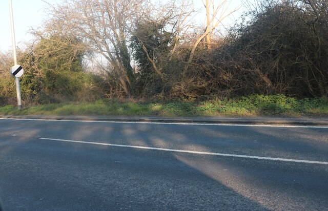
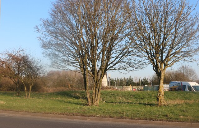
Rundell's Grove is a picturesque woodland located in the county of Essex, England. Nestled amidst the lush greenery of the region, this woodland is a true haven for nature lovers and outdoor enthusiasts. With its serene atmosphere and diverse flora and fauna, Rundell's Grove offers an idyllic escape from the bustling city life.

Covering an area of approximately 500 acres, Rundell's Grove is home to a wide range of tree species, including oak, beech, and birch, which create a vibrant and ever-changing landscape throughout the seasons. The woodland floor is adorned with a carpet of wildflowers, adding bursts of color to the surroundings.

The grove is crisscrossed by a network of well-maintained footpaths, making it a popular destination for walkers, hikers, and joggers. These paths wind through the trees, offering visitors the chance to explore the grove's abundant natural beauty at their own pace. As they stroll along, visitors may encounter various wildlife species, including deer, rabbits, and an array of birdlife.

Rundell's Grove also boasts a small lake, providing a tranquil spot for fishing or simply enjoying the peaceful ambiance. The lake is a popular spot for birdwatching, with numerous waterfowl species frequenting its shores.

For those seeking a break from the natural splendor, Rundell's Grove offers a picnic area, complete with benches and tables, where visitors can relax and enjoy a leisurely meal surrounded by the beauty of their surroundings.

Overall, Rundell's Grove is a hidden gem within Essex, offering a peaceful retreat for those seeking solace in nature's embrace.

If you have any feedback on the listing, please let us know in the comments section below.

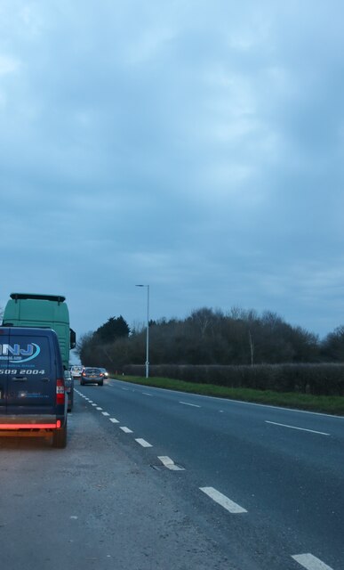
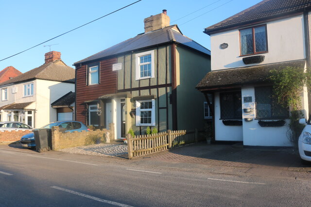
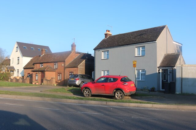
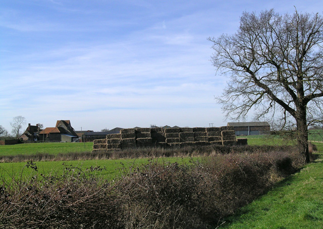
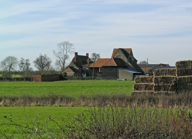
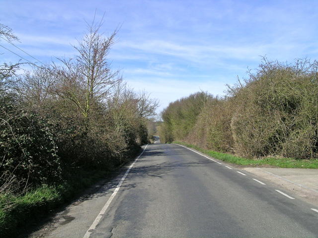
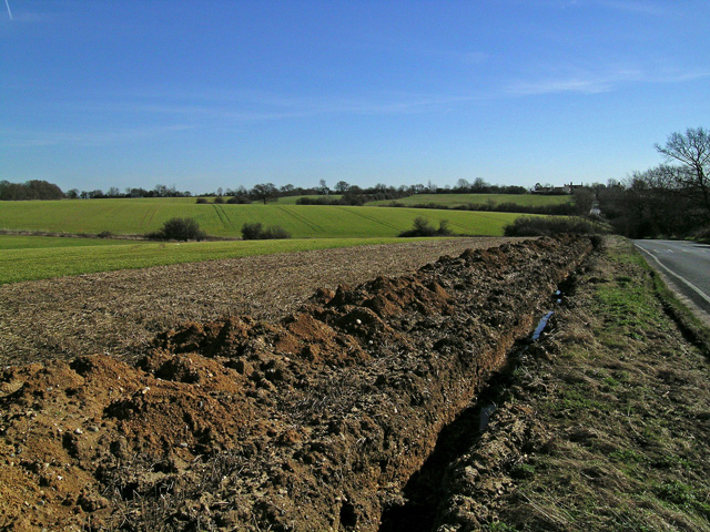
Rundell's Grove Images

Images are sourced within 2km of 51.743682/0.12894965 or Grid Reference TL4707. Thanks to Geograph Open Source API. All images are credited.

Layby on London Road, Hastingwood
Bellevue Villas, Hastingwood
London Road, Thornwood Common
Romanian lorry on London Road, Hastingwood Romania are the only other country to use our current number plate format, except for Budapest which starts with a single B.
Romanian lorry on London Road, Hastingwood
Romania are the only other country to use our current number plate format, except for Budapest which starts with a single B.
Houses on London Road, Hastingwood
London Road, Hastingwood Looking towards Hastingwood Depot used by Essex Council.
London Road, Hastingwood
Looking towards Hastingwood Depot used by Essex Council.
Flower Festival at St. Mary Magdalene, Harlow St. Mary Magdalene, Harlow holds regular flower festivals which denote a specific event. The one pictured is from the Victory in Europe display, 2005.
Although now part of Harlow New Town, St. Mary Magdalene was the village church for Potter Street, one of the villages swallowed up by the development of the new town.
Flower Festival at St. Mary Magdalene, Harlow
St. Mary Magdalene, Harlow holds regular flower festivals which denote a specific event. The one pictured is from the Victory in Europe display, 2005. Although now part of Harlow New Town, St. Mary Magdalene was the village church for Potter Street, one of the villages swallowed up by the development of the new town.
St Clare Hospice, Hastingwood The St.Clare Hospice, Hastingwood, near Harlow provides support and help for terminally ill patients and their carers. It is entirely a self funding charity and has earned an enviable reputation in the care provided, the dedication and extertise of the staff, the nursing facilities and the support given to patients and their families.
St Clare Hospice, Hastingwood
The St.Clare Hospice, Hastingwood, near Harlow provides support and help for terminally ill patients and their carers. It is entirely a self funding charity and has earned an enviable reputation in the care provided, the dedication and extertise of the staff, the nursing facilities and the support given to patients and their families.
St. Mary Magdalene, Potter Street St. Mary Magdalene is situated on the south east corner of Harlow New Town. The building is late Victorian of Gothic flint and was built circa 1888.
St. Mary Magdalene, Potter Street
St. Mary Magdalene is situated on the south east corner of Harlow New Town. The building is late Victorian of Gothic flint and was built circa 1888.
McDonald's, near Harlow, Essex This McDonald's stands close to junction 7 of the M11, on the Epping to Harlow road.
McDonald's, near Harlow, Essex
This McDonald's stands close to junction 7 of the M11, on the Epping to Harlow road.
'Rainbow And Dove' public house, Hastingwood, Essex This pub is quite close to junction 7 of the M11.  It's an attractive pub and very popular.
'Rainbow And Dove' public house, Hastingwood, Essex
This pub is quite close to junction 7 of the M11. It's an attractive pub and very popular.
Canes Farm, just southeast of Hastingwood, Essex
Blake Hall, Thornwood Common This is the garden centre of Blake Hall at the end of the drive (near the car park). Inside the centre there's also a cafe and aquarium
Blake Hall, Thornwood Common
This is the garden centre of Blake Hall at the end of the drive (near the car park). Inside the centre there's also a cafe and aquarium
Blake Hall, Thornwood Common Here's the entrance to the centre, at the time I visited 10am the centre was quite empty
Blake Hall, Thornwood Common
Here's the entrance to the centre, at the time I visited 10am the centre was quite empty
Latton Priory taken from the Rundells footpath, off B1393 Latton Priory is to the left off this photo but I also wanted to capture the farmland with the haystacks and tree
Latton Priory taken from the Rundells footpath, off B1393
Latton Priory is to the left off this photo but I also wanted to capture the farmland with the haystacks and tree
Latton Priory taken from the Rundells footpath Here's a closer view of Latton Priory taken from the footpath of Rundells, off the B1393. It may look scenic, but the M11 is very close by and so is the noise from the traffic.
Latton Priory taken from the Rundells footpath
Here's a closer view of Latton Priory taken from the footpath of Rundells, off the B1393. It may look scenic, but the M11 is very close by and so is the noise from the traffic.
Rye Hill Road, taken from just past Rivetts Farm This road is quite hilly for Essex. Photo taken of the road to show the contours.
Rye Hill Road, taken from just past Rivetts Farm
This road is quite hilly for Essex. Photo taken of the road to show the contours.
Looking towards Rivetts Farm from Rye Hill Taken from Rye Hill Road
Looking towards Rivetts Farm from Rye Hill
Taken from Rye Hill Road
Show me another place!

Rundell's Grove is located at Grid Ref: TL4707 (Lat: 51.743682, Lng: 0.12894965)

Administrative County: Essex

District: Epping Forest

Police Authority: Essex

What 3 Words

///dared.opera.light. Near Harlow, Essex

Related Wikis

A414 road

The A414 is a major road in England, which connects the towns of Hemel Hempstead in Hertfordshire and Maldon in Essex. The road commences at the A41, at...

Latton Priory

Latton Priory was a small priory in Essex, England. Its site is about 1 km south of the outskirts of the modern town of Harlow. The priory was founded...

Hastingwood

Hastingwood is a hamlet in the North Weald Bassett civil parish of the Epping Forest district of Essex, England. The hamlet is centred on the junction...

Passmores Academy

Passmores Academy is a 11-16 secondary school in Harlow, Essex.The academy has an annual intake of 240 pupils in Year 7, and approximately 1,000 pupils...

Nearby Amenities

Located within 500m of 51.743682,0.12894965
Traffic Signals
Lat/Long: 51.7431203/0.1343457
Created By: YahooApplet 1.0
Lat/Long: 51.7402881/0.1319527
Bus Stop
McDonalds
Bus: yes
Naptan AtcoCode: 150021006001
Naptan Bearing: NE
Naptan CommonName: McDonalds
Naptan Crossing: M11 J7
Naptan Indicator: Opp
Naptan Landmark: McDonalds
Naptan NaptanCode: esxgatjp
Naptan Street: London Road
Naptan Verified: no
Public Transport: platform
Source: naptan_import
Lat/Long: 51.741858/0.1330897
Bus Stop
McDonalds
Bus: yes
Naptan AtcoCode: 150021006002
Naptan Bearing: SW
Naptan BusStopType: CUS
Naptan CommonName: McDonalds
Naptan Crossing: M11 J7
Naptan Indicator: o/s
Naptan Landmark: McDonalds
Naptan NaptanCode: esxgatjt
Naptan Street: London Road
Naptan Verified: no
Public Transport: platform
Source: naptan_import
Lat/Long: 51.7414337/0.1329699
Hastingwood Services
Naptan AtcoCode: 1500JMD037
Naptan Bearing: SW
Naptan BusStopType: CUS
Naptan CommonName: Hastingwood Services
Naptan Indicator: SW-bound
Naptan Landmark: Hastingwood Services
Naptan NaptanCode: esxjdpjp
Naptan Street: London Road
Naptan Verified: no
Source: naptan_import
Lat/Long: 51.7420498/0.1338251
Traffic Signals
Lat/Long: 51.7446619/0.1350181
Traffic Signals
Lat/Long: 51.7447731/0.1351241
Traffic Signals
Lat/Long: 51.7430871/0.1341606
Crossing
Lat/Long: 51.7419525/0.134016
Crossing
Lat/Long: 51.7419657/0.1338925
Addr Housename: Priory Lodge
Lat/Long: 51.7395993/0.1266892
Crossing
Crossing: unmarked
Lat/Long: 51.7427467/0.133931
Crossing
Crossing: unmarked
Lat/Long: 51.7426787/0.1340842
Entrance: yes
Lat/Long: 51.7418888/0.1341761
Crossing
Lat/Long: 51.7420343/0.1339895
The data included in this document is from www.openstreetmap.org. The data is made available under ODbL.

Have you been to Rundell's Grove?

Leave your review of Rundell's Grove below (or comments, questions and feedback).