Fala

Settlement in Midlothian

Scotland

Fala

The Dean Burn Looking south from Deanburn House.
The Dean Burn Credit: M J Richardson

Fala is a small village located in the county of Midlothian, Scotland. Situated about 13 miles southeast of the Scottish capital, Edinburgh, Fala is nestled amidst picturesque landscapes and rolling hills. With a population of around 200 residents, the village exudes a serene and tranquil atmosphere.

Fala is known for its historical significance, as it was once a Roman settlement during the Roman occupation of Britain. The remnants of the Roman fort can still be seen in the surrounding area, attracting history enthusiasts and archaeologists alike.

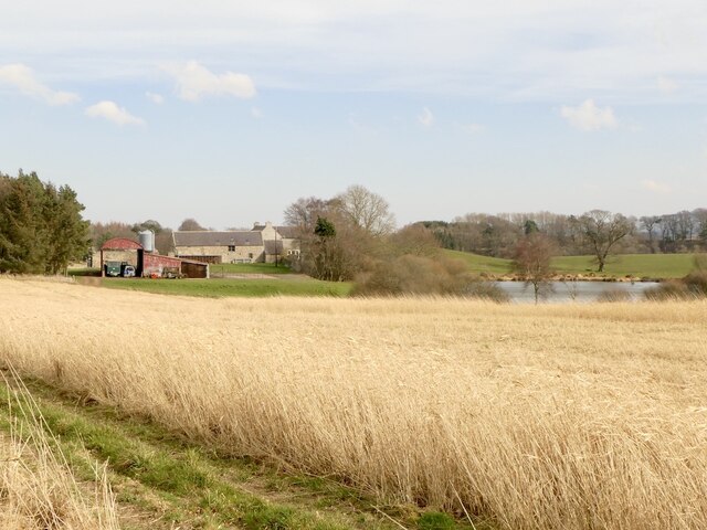
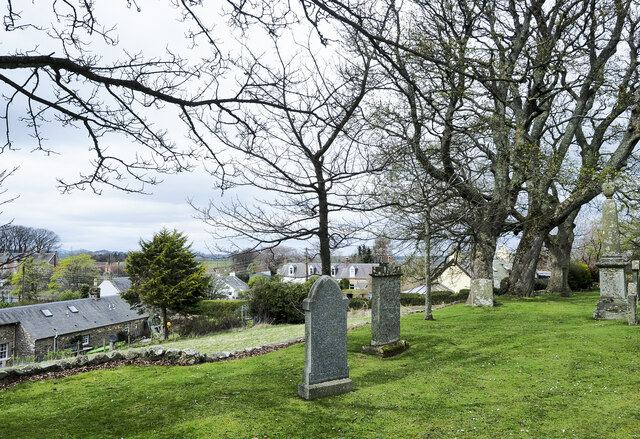
The village itself is characterized by charming stone-built cottages and traditional architecture, maintaining a sense of its historical past. Fala boasts a close-knit community, with a village hall serving as a hub for various social and recreational activities.

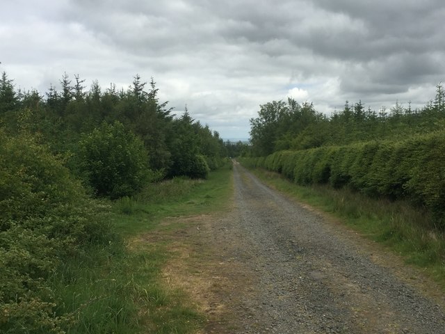
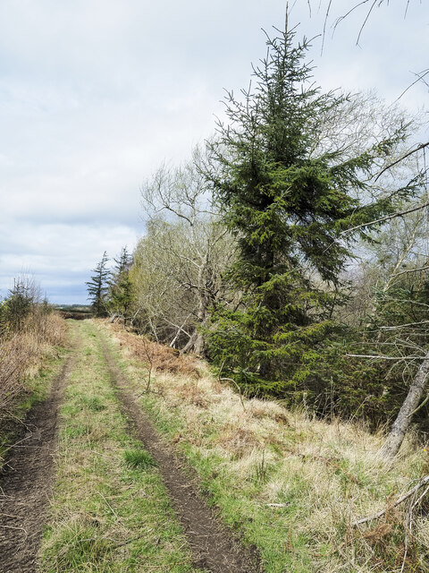
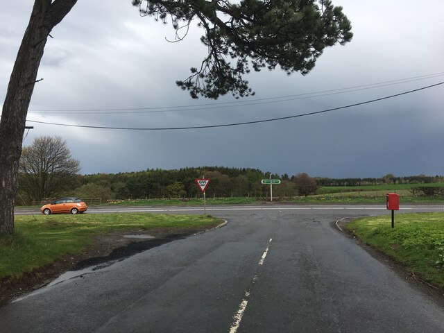
Nature lovers will find Fala to be a haven, with its proximity to the stunning Scottish countryside. The village is surrounded by lush green fields and offers easy access to numerous walking and cycling routes. Additionally, Fala is in close proximity to Vogrie Country Park, a popular destination for outdoor enthusiasts seeking leisurely strolls, picnics, or even a round of golf.

Although Fala is a peaceful and idyllic escape from city life, it benefits from its close proximity to amenities. Nearby towns and larger villages, such as Pathhead and Dalkeith, provide residents with access to essential services, shops, and schools.

In summary, Fala is a charming and historically rich village in Midlothian, Scotland. With its scenic landscapes, close community, and easy access to both nature and urban amenities, Fala offers a delightful blend of tranquility and convenience.

If you have any feedback on the listing, please let us know in the comments section below.

Fala Images

Images are sourced within 2km of 55.838777/-2.900155 or Grid Reference NT4360. Thanks to Geograph Open Source API. All images are credited.

The Dean Burn Looking south from Deanburn House.
The Dean Burn
Looking south from Deanburn House.
The A68 at Dean Burn Looking southeast as it heads to Soutra.
The A68 at Dean Burn
Looking southeast as it heads to Soutra.
The A68 near Fala Heading northwest towards Fala Mains and Pathhead.
The A68 near Fala
Heading northwest towards Fala Mains and Pathhead.
The A68 crossing the Dean Burn Looking southeast to Soutra Mains.
The A68 crossing the Dean Burn
Looking southeast to Soutra Mains.
Pasture at Dean Burn Looking west to Fala Mains Wood.
Pasture at Dean Burn
Looking west to Fala Mains Wood.
Cotton grass, Fala Moor The heather has been cut here rather than burned.
Cotton grass, Fala Moor
The heather has been cut here rather than burned.
Moor Road The road over Fala Moor descends through Fala Mains Wood.  Taken from the gate onto the moor.
Moor Road
The road over Fala Moor descends through Fala Mains Wood. Taken from the gate onto the moor.
Moor Road At the northern end of Fala Moor.
Moor Road
At the northern end of Fala Moor.
Field, Soutra Mains Feeding troughs out for Luing cows and calves, out of shot just downhill.
Field, Soutra Mains
Feeding troughs out for Luing cows and calves, out of shot just downhill.
Fala Moor A sloping and better drained bit of the moor.
Fala Moor
A sloping and better drained bit of the moor.
Moor Road Road from Fala to Heriot via Brothershiels passing North Wood.
Moor Road
Road from Fala to Heriot via Brothershiels passing North Wood.
Dean Burn Viewed from the A68
Dean Burn
Viewed from the A68
Costerton Mains Taken 16 years after <a href="https://www.geograph.org.uk/photo/82964">NT4362 : Costerton Mains</a>.
Costerton Mains
Taken 16 years after NT4362 : Costerton Mains.
Track between road and Routing Glen The track is rising towards a minor road north of the small settlement at Fala; it's not shown on OS maps. Routing Glen falling to the right, is remarkably steep-sided and deep for a lowland area.
Track between road and Routing Glen
The track is rising towards a minor road north of the small settlement at Fala; it's not shown on OS maps. Routing Glen falling to the right, is remarkably steep-sided and deep for a lowland area.
Fala, from its churchyard A view over the small settlement of Fala seen past gravestones in the graveyard. There's a warning at the entrance of the danger of unstable gravestones but no warning that there's a drop beyond the line of edging stones over which the unwary could fall.
Fala, from its churchyard
A view over the small settlement of Fala seen past gravestones in the graveyard. There's a warning at the entrance of the danger of unstable gravestones but no warning that there's a drop beyond the line of edging stones over which the unwary could fall.
Track across field heading towards tree The field, north-east of the A68 has a track north of a minor road which appears to end at the prominent tree. Of course it doesn't, the ground falls away and out of view the track turns to pass the tree.
Track across field heading towards tree
The field, north-east of the A68 has a track north of a minor road which appears to end at the prominent tree. Of course it doesn't, the ground falls away and out of view the track turns to pass the tree.
Trees on Little Law Little Law is a minor feature, a low hill amid cultivated land to the east of the valley of the Dean Burn.
Trees on Little Law
Little Law is a minor feature, a low hill amid cultivated land to the east of the valley of the Dean Burn.
Junction of the B6458 and A68
Show me another place!

Fala is located at Grid Ref: NT4360 (Lat: 55.838777, Lng: -2.900155)

Unitary Authority: Midlothian

Police Authority: The Lothians and Scottish Borders

What 3 Words

///orchids.commenced.discount. Near Pencaitland, East Lothian

Nearby Locations

Fala Mains Wood Fala

Related Wikis

Fala, Midlothian

Fala is a hamlet in the south-eastern corner of Midlothian, Scotland, and about 15 miles from Edinburgh. == Location == The parish of the same name is...

Fala Flow

Fala Flow is an area of upland blanket bog on the edge of the Lammermuir Hills, in Midlothian, Scotland. Located north of the village of Fala, around 15...

Humbie

Humbie is a hamlet and rural parish in East Lothian, Scotland lying in south-east of the county, approximately 10 miles (16 km) south-west of Haddington...

Soutra Aisle

Soutra Aisle, (the present structure lies just within the boundary of the Scottish Borders from Midlothian) not far from Fala, is the remains of the House...

Nearby Amenities

Located within 500m of 55.838777,-2.900155
Fala
Place: village
Wikidata: Q5431606
Lat/Long: 55.8385987/-2.8991475
Booth: K6
Mapillary: 203425751936184
Removed Amenity: telephone
Source: survey
Survey Date: 2021-09-18
Lat/Long: 55.8379655/-2.9007926
Post Box
Post Box Type: wall
Ref: EH37 3
Royal Cypher: GR
Royal Cypher Wikidata: Q33102273
Lat/Long: 55.8387288/-2.8987536
Fairshields
Tourism: guest_house
Lat/Long: 55.8380765/-2.9010883
Bus Stop
Fala Village Access
Bench: yes
Bus: yes
Local Ref: opp
Naptan AtcoCode: 6280326820
Naptan Bearing: NW
Naptan CommonName: Village Access
Naptan Indicator: opp
Naptan Landmark: Blackshiels Farm
Naptan NaptanCode: 64323654
Naptan Street: A68
Naptan Verified: yes
Public Transport: platform
Ref: 6280326820
Shelter: yes
Source: NaPTAN
Lat/Long: 55.8379536/-2.9011929
Bus Stop
Fala Village Access
Bus: yes
Local Ref: at
Naptan AtcoCode: 6280000064
Naptan Bearing: SE
Naptan CommonName: Village Access
Naptan Indicator: at
Naptan Landmark: Blackshiels Farm
Naptan NaptanCode: 64326843
Naptan Street: A68
Naptan Verified: yes
Public Transport: platform
Ref: 6280000064
Source: NaPTAN
Lat/Long: 55.8382795/-2.9020659
Power: pole
Lat/Long: 55.8376695/-2.898563
Power: pole
Lat/Long: 55.8376501/-2.8985138
Power: pole
Lat/Long: 55.8372413/-2.8976025
Material: wood
Power: pole
Lat/Long: 55.8368189/-2.8966731
Power: pole
Lat/Long: 55.8364023/-2.8957001
Power: pole
Lat/Long: 55.8359273/-2.8946791
Power: pole
Lat/Long: 55.837721/-2.8976358
Power: pole
Lat/Long: 55.8381657/-2.8976587
Power: pole
Lat/Long: 55.8403239/-2.9072137
Power: pole
Lat/Long: 55.8399858/-2.9059677
Power: pole
Lat/Long: 55.839657/-2.9047029
Power: pole
Lat/Long: 55.83932/-2.9034297
Power: pole
Lat/Long: 55.8390521/-2.9024171
The data included in this document is from www.openstreetmap.org. The data is made available under ODbL.

Have you been to Fala?

Leave your review of Fala below (or comments, questions and feedback).