Falahill
Settlement in Midlothian
Scotland
Falahill

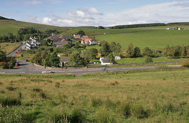
Falahill is a small village located in the county of Midlothian, Scotland. Situated approximately 12 miles southeast of the capital city of Edinburgh, the village is nestled within the picturesque landscape of the Moorfoot Hills. Falahill is easily accessible by road, with the A7 passing nearby, providing convenient connections to nearby towns and cities.
The village itself is known for its idyllic and tranquil setting, making it a popular destination for those seeking a peaceful retreat away from the hustle and bustle of urban life. The surrounding countryside offers stunning views and ample opportunities for outdoor activities, such as hiking, cycling, and nature walks.
Falahill is a close-knit community with a small population. It boasts a charming blend of traditional stone houses and modern developments, creating a harmonious blend of old and new. The village features a few local amenities, including a village hall, a primary school, and a community center, which serve as focal points for social gatherings and events.
For those seeking further amenities, the nearby town of Dalkeith offers a wider range of services, including supermarkets, shops, and leisure facilities. Additionally, the city of Edinburgh is within easy reach, providing residents with access to a wealth of cultural attractions, shopping centers, and educational institutions.
Overall, Falahill offers a peaceful and scenic retreat, with its beautiful surroundings and community-focused atmosphere making it an attractive place to live or visit in Midlothian.
If you have any feedback on the listing, please let us know in the comments section below.
Falahill Images
Images are sourced within 2km of 55.79343/-2.9744433 or Grid Reference NT3956. Thanks to Geograph Open Source API. All images are credited.


Falahill is located at Grid Ref: NT3956 (Lat: 55.79343, Lng: -2.9744433)
Unitary Authority: The Scottish Borders
Police Authority: The Lothians and Scottish Borders
What 3 Words
///defensive.branded.bouncing. Near Gorebridge, Midlothian
Nearby Locations
Related Wikis

Falahill
Falahill is a village in the Scottish Borders, in the Moorfoot Hills, at NT387563, in the Parish of Heriot, and close to the border with Midlothian. Nearby...

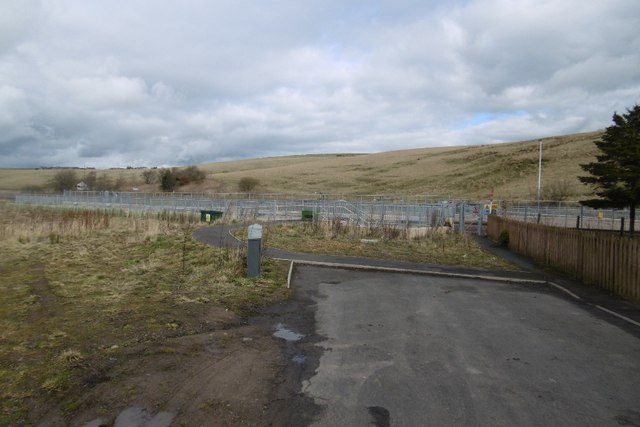
Heriot railway station
Heriot railway station served the village of Heriot, Scottish Borders, Scotland from 1848 to 1969 on the Waverley Route. == History == The station opened...

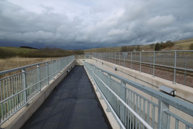
Borders Railway
The Borders Railway connects the city of Edinburgh with Galashiels and Tweedbank in the Scottish Borders. The railway follows most of the alignment of...

Heriot, Scottish Borders
Heriot is a small village in the Moorfoot Hills southeast of Edinburgh, Scotland, within Eildon (part of the Scottish Borders council area, though historically...
Nearby Amenities
Located within 500m of 55.79343,-2.9744433Have you been to Falahill?
Leave your review of Falahill below (or comments, questions and feedback).