Calves' Shaw

Wood, Forest in Sussex Wealden

England

Calves' Shaw

New roundabout east of Maresfield
New roundabout east of Maresfield Credit: nick macneill

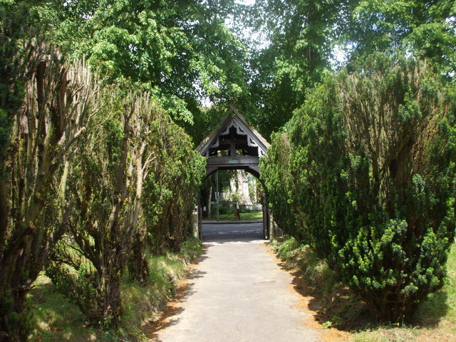
Calves' Shaw, located in Sussex, is a woodland area known for its picturesque beauty and rich biodiversity. This forested region is encompassed by a diverse array of trees, including oak, beech, and ash, which collectively create a lush and enchanting environment. Spanning over a considerable expanse, Calves' Shaw offers ample space for exploration and discovery.

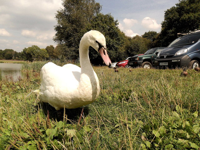
The woodland is home to various wildlife species, making it a haven for nature enthusiasts and birdwatchers. Bird species such as woodpeckers, nightingales, and tawny owls are frequently spotted within the forest, adding to its allure. Additionally, small mammals like foxes, badgers, and deer inhabit the area, further enhancing its ecological significance.

With its tranquil atmosphere and well-maintained trails, Calves' Shaw serves as an excellent destination for outdoor activities. Visitors can enjoy leisurely walks or engage in more adrenaline-pumping pursuits like mountain biking. The forest's well-preserved paths provide an opportunity to immerse oneself in the natural surroundings and appreciate the serene ambiance.

Calves' Shaw also holds historical importance. It is believed that the woodland has been in existence for centuries, with traces of ancient settlements and archaeological sites discovered within its boundaries. This historical significance adds an extra layer of fascination to the area, attracting history enthusiasts and researchers alike.

In summary, Calves' Shaw is a captivating forested area in Sussex that showcases the beauty of nature. With its diverse flora and fauna, well-maintained trails, and historical significance, it offers a unique and enriching experience for all who visit.

If you have any feedback on the listing, please let us know in the comments section below.
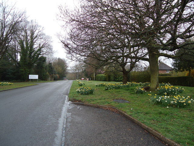
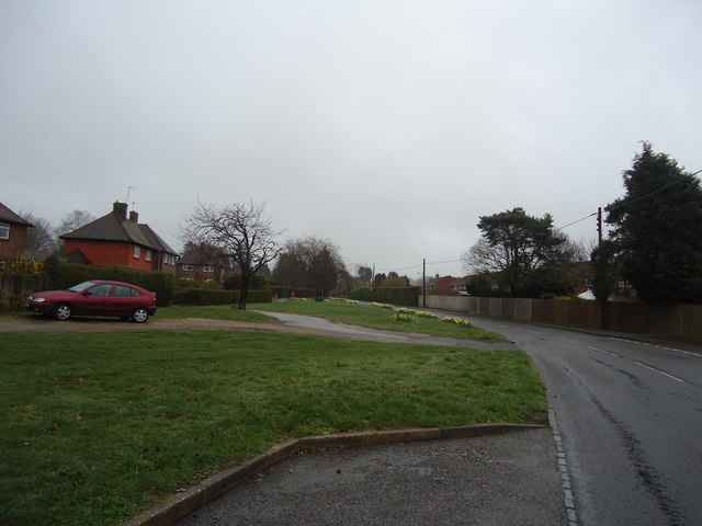
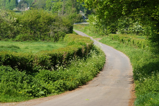
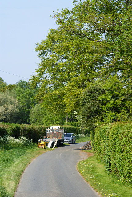
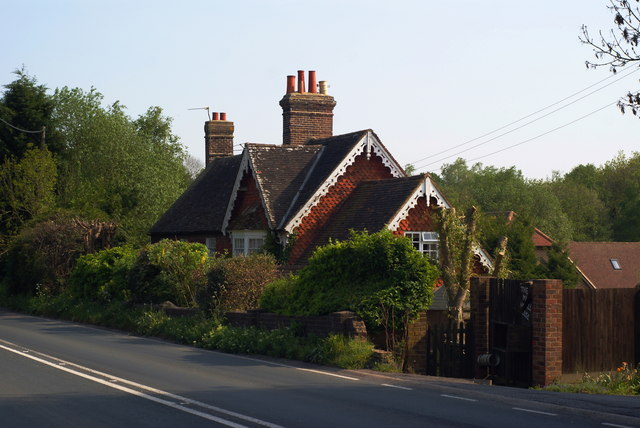
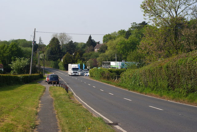
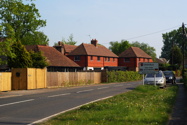
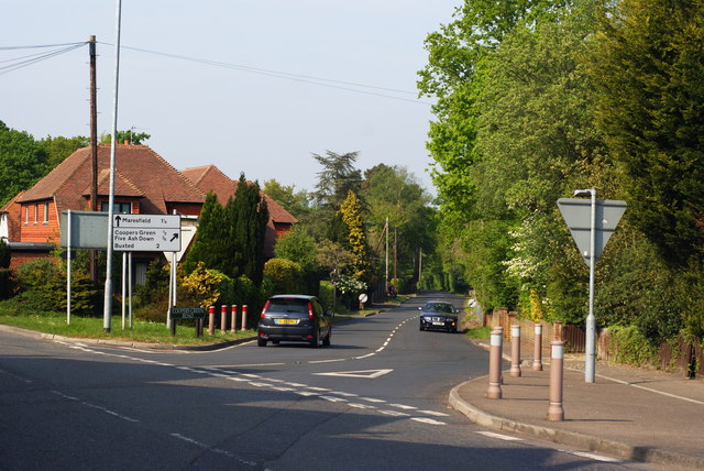
Calves' Shaw Images

Images are sourced within 2km of 50.990721/0.076067773 or Grid Reference TQ4523. Thanks to Geograph Open Source API. All images are credited.

New roundabout east of Maresfield
Batts Bridge Road, Maresfield
Nursery Lane, Maresfield, Sussex Photograph taken from beside Nightingale Wood, looking north.
Nursery Lane, Maresfield, Sussex
Photograph taken from beside Nightingale Wood, looking north.
Nursery Lane, Maresfield, Sussex The large tree, to the right of picture, marks the position of Oak Tree Cottage.
Nursery Lane, Maresfield, Sussex
The large tree, to the right of picture, marks the position of Oak Tree Cottage.
Entrance to Maresfield Park, Sussex Formerly a large private estate, the road beyond the gatehouse is still marked as 'private'. Judging from the gatehouse, it must have been an impressive estate in its heyday.
Entrance to Maresfield Park, Sussex
Formerly a large private estate, the road beyond the gatehouse is still marked as 'private'. Judging from the gatehouse, it must have been an impressive estate in its heyday.
High Street, Maresfield, Sussex Photographed from close to Maresfield church.
High Street, Maresfield, Sussex
Photographed from close to Maresfield church.
Graves in Maresfield Cemetery, Sussex Photographed from the footpath in High Street.
Graves in Maresfield Cemetery, Sussex
Photographed from the footpath in High Street.
Graves in Maresfield Cemetery, Sussex Photographed from the footpath on High Street.
Graves in Maresfield Cemetery, Sussex
Photographed from the footpath on High Street.
The Mill House, Maresfield, Sussex The former mill house lies just within this grid square. The pond, serving this house, lies to the west; an aerial view suggests that the pond may have been truncated by the construction of the A22 Maresfield bypass, some years ago.
The Mill House, Maresfield, Sussex
The former mill house lies just within this grid square. The pond, serving this house, lies to the west; an aerial view suggests that the pond may have been truncated by the construction of the A22 Maresfield bypass, some years ago.
London Road, Budlett's Common, Sussex Chichester Caravans can be seen, in the centre of picture.
London Road, Budlett's Common, Sussex
Chichester Caravans can be seen, in the centre of picture.
London Road, Ringles Cross, Sussex Looking in the direction of Uckfield. The town sign can be seen, to the right of picture.
London Road, Ringles Cross, Sussex
Looking in the direction of Uckfield. The town sign can be seen, to the right of picture.
Road Junction at Ringles Cross, Sussex The junction of London Road with Coopers Green Road.
Road Junction at Ringles Cross, Sussex
The junction of London Road with Coopers Green Road.
Church path, Maresfield Parish Church
Friendly swan by Piltdown Pond, East Sussex
The A22 approaching Batts Bridge roundabout
Road sign on the A22, Uckfield
Show me another place!

Calves' Shaw is located at Grid Ref: TQ4523 (Lat: 50.990721, Lng: 0.076067773)

Administrative County: East Sussex

District: Wealden

Police Authority: Sussex

What 3 Words

///seagulls.window.rash. Near Uckfield, East Sussex

Related Wikis

Piltdown Man

The Piltdown Man was a paleoanthropological fraud in which bone fragments were presented as the fossilised remains of a previously unknown early human...

A.F.C. Uckfield Town

A.F.C. Uckfield Town is a community football club based in Uckfield, East Sussex, England. They are currently members of the Southern Combination Premier...

A.F.C. Uckfield

Association Football Club Uckfield was a football club based in Uckfield, East Sussex, England. == History == The club was formed in 1988 as Wealden Football...

Maresfield

Maresfield is a village and civil parish in the Wealden District of East Sussex, England. The village itself lies 1.5 miles (2.4 km) north from Uckfield...

Cooper's Green

Cooper's Green is a village in the civil parish of Buxted in the Wealden district of East Sussex, England. Its nearest town is Uckfield, which lies approximately...

West Park, Uckfield

West Park is a 10.5-hectare (26-acre) Local Nature Reserve on the western outskirts of Uckfield in East Sussex. It is owned and managed by Uckfield Town...

Piltdown

Piltdown is a series of hamlets in East Sussex, England, located south of Ashdown Forest. It is best known for the Piltdown Man hoax where amateur archaeologist...

Buxted Park

Buxted Park is an 84.7 hectare (206.16 acre) biological Site of Special Scientific Interest, located near the village of Buxted, East Sussex, England....

Nearby Amenities

Located within 500m of 50.990721,0.076067773
Oakwood Park
Leisure: pitch
Sport: equestrian
Surface: grass
Lat/Long: 50.9918605/0.0815214
Batts Farm
Addr City: Maresfield
Addr Postcode: TN22 3XT
Addr Street: Batts Bridge Road
Fhrs Id: 164385
Place: farm
Source Addr: FHRS Open Data
Wikidata: Q26574940
Lat/Long: 50.99329/0.0703484
Generator Method: photovoltaic
Generator Orientation: 240
Generator Output Electricity: yes
Generator Solar Modules: 60
Generator Source: solar
Generator Type: solar_photovoltaic_panel
Location: roof
Power: generator
Lat/Long: 50.9927215/0.0780241
Entrance: yes
Lat/Long: 50.9943669/0.0768363
Ford: yes
Lat/Long: 50.988451/0.0724708
Footpath
Information: guidepost
Operator: East Sussex County Council
Tourism: information
Lat/Long: 50.991689/0.0825779
Footpath
Information: guidepost
Operator: East Sussex County Council
Tourism: information
Lat/Long: 50.9881693/0.0810218
Barrier: stile
Lat/Long: 50.9917056/0.0826306
Footpath
Information: guidepost
Operator: East Sussex County Council
Tourism: information
Lat/Long: 50.9893155/0.0812759
Ford: yes
Lat/Long: 50.9882021/0.0715975
Generator Method: photovoltaic
Generator Orientation: 240
Generator Output Electricity: yes
Generator Solar Modules: 60
Generator Source: solar
Generator Type: solar_photovoltaic_panel
Location: roof
Power: generator
Lat/Long: 50.9922463/0.0772664
Generator Method: photovoltaic
Generator Orientation: 240
Generator Output Electricity: yes
Generator Solar Modules: 60
Generator Source: solar
Generator Type: solar_photovoltaic_panel
Location: roof
Power: generator
Lat/Long: 50.9933639/0.0770625
Entrance: yes
Wheelchair: yes
Lat/Long: 50.9940896/0.0781194
Charging Station
Brand: Pod Point
Capacity: 8
Covered: no
Lat/Long: 50.9938675/0.0769999
Waste Basket
Lat/Long: 50.9937811/0.077372
Charging Station
Brand: Pod Point
Lat/Long: 50.9942233/0.0778333
Bicycle Parking
Bicycle Parking: stands
Capacity: 14
Covered: no
Lat/Long: 50.9942841/0.0776821
Bench
Lat/Long: 50.9942948/0.077769
Waste Basket
Lat/Long: 50.9940103/0.0781758
Bus Stop
Ashdown Business Park
Bench: yes
Bin: no
Bus: yes
Public Transport: platform
Shelter: yes
Lat/Long: 50.9936916/0.0772982
The data included in this document is from www.openstreetmap.org. The data is made available under ODbL.

Have you been to Calves' Shaw?

Leave your review of Calves' Shaw below (or comments, questions and feedback).