Forge Wood
Wood, Forest in Sussex Wealden
England
Forge Wood

Forge Wood is a residential neighborhood located on the outskirts of Crawley, in the county of West Sussex, England. Situated to the east of the town, Forge Wood is part of the wider development known as the Crawley New Town. This new area was built to accommodate the growing population and demand for housing in the region.
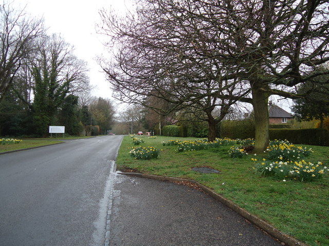
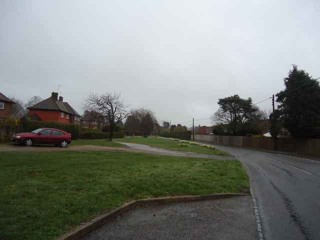
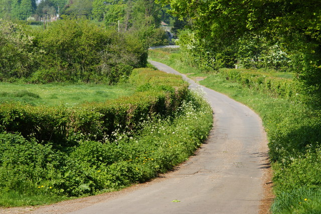
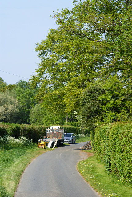
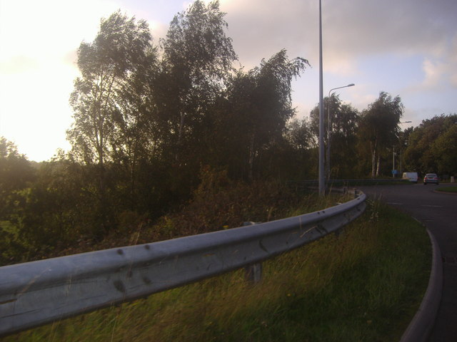
Covering an area of approximately 150 hectares, Forge Wood is characterized by its lush green surroundings and picturesque landscapes. The area is predominantly made up of woodland, providing a serene and natural environment for residents to enjoy. The woodlands are home to a variety of trees, including oak, birch, and beech, which contribute to the scenic beauty of the area.
The development of Forge Wood began in 2013, and it has since become a thriving community with a mix of housing options, including apartments, townhouses, and detached houses. The neighborhood boasts modern infrastructure, including well-maintained roads, footpaths, and green spaces. There are also plans for the construction of a primary school, community center, and retail facilities, which will further enhance the livability of the area.
Forge Wood benefits from its proximity to Crawley town center, offering residents easy access to a range of amenities, including shopping centers, restaurants, and recreational facilities. The neighborhood is well-connected to the wider area through public transport, with regular bus services and nearby train stations providing links to London and other major cities.
Overall, Forge Wood is a thriving residential area that combines natural beauty with modern amenities, making it an attractive place to live for families and individuals seeking a peaceful yet conveniently located community in West Sussex.
If you have any feedback on the listing, please let us know in the comments section below.
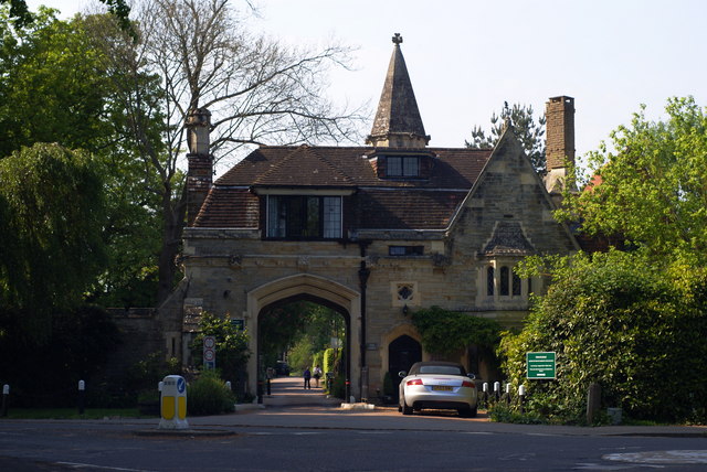
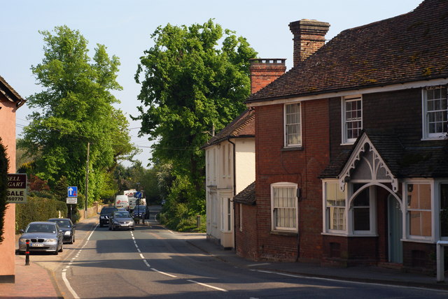
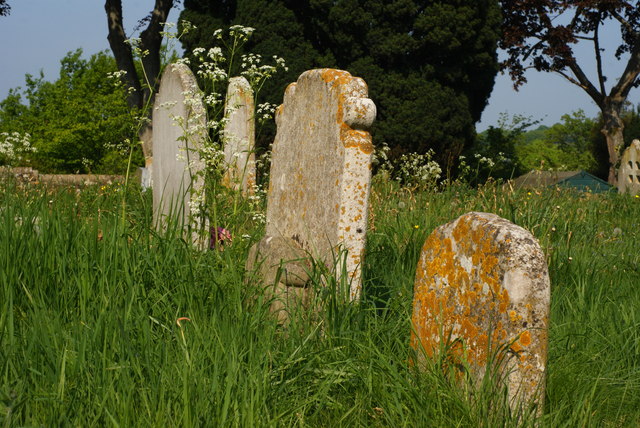
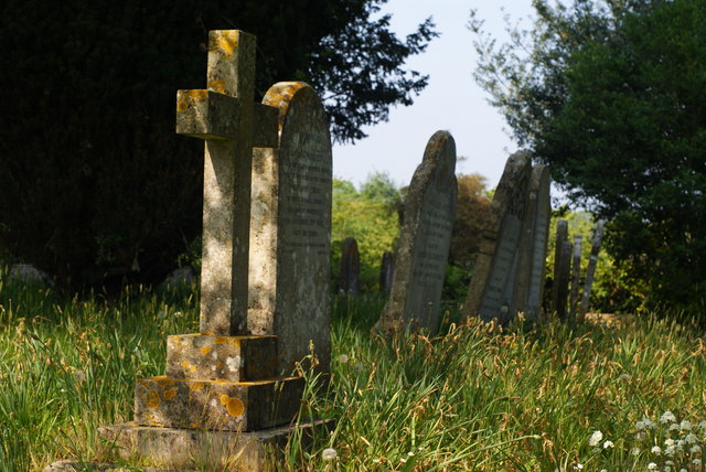
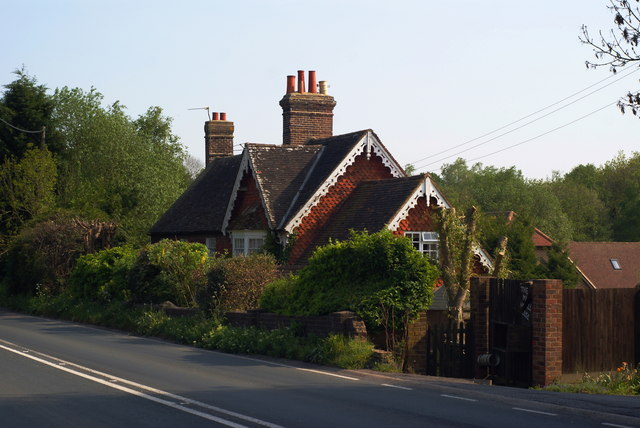
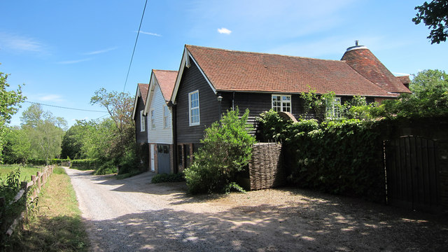
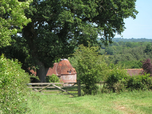
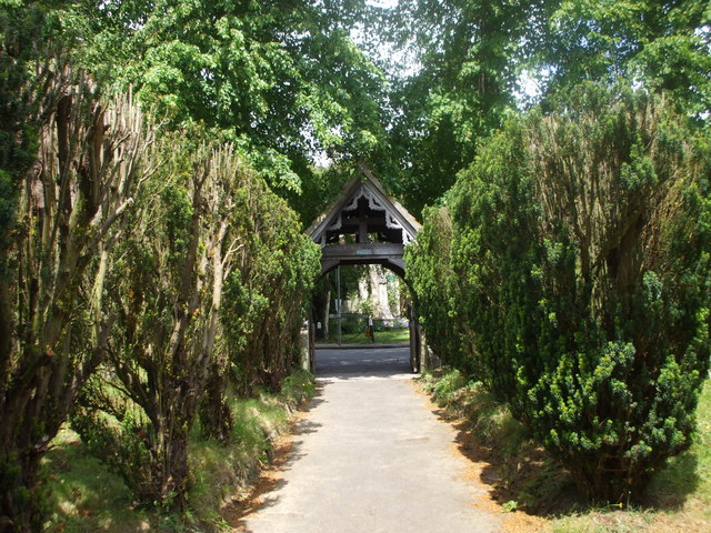
Forge Wood Images
Images are sourced within 2km of 50.995951/0.066667215 or Grid Reference TQ4523. Thanks to Geograph Open Source API. All images are credited.
Forge Wood is located at Grid Ref: TQ4523 (Lat: 50.995951, Lng: 0.066667215)
Administrative County: East Sussex
District: Wealden
Police Authority: Sussex
What 3 Words
///responses.corkscrew.truth. Near Uckfield, East Sussex
Nearby Locations
Related Wikis

Piltdown Man
The Piltdown Man was a paleoanthropological fraud in which bone fragments were presented as the fossilised remains of a previously unknown early human...

A.F.C. Uckfield Town
A.F.C. Uckfield Town is a community football club based in Uckfield, East Sussex, England. They are currently members of the Southern Combination Premier...
A.F.C. Uckfield
Association Football Club Uckfield was a football club based in Uckfield, East Sussex, England. == History == The club was formed in 1988 as Wealden Football...

Maresfield
Maresfield is a village and civil parish in the Wealden District of East Sussex, England. The village itself lies 1.5 miles (2.4 km) north from Uckfield...

Piltdown
Piltdown is a series of hamlets in East Sussex, England, located south of Ashdown Forest. It is best known for the Piltdown Man hoax where amateur archaeologist...

Buxted Park
Buxted Park is an 84.7 hectare (206.16 acre) biological Site of Special Scientific Interest, located near the village of Buxted, East Sussex, England....

Fletching, East Sussex
Fletching is a village and civil parish in the Wealden District of East Sussex, England. It is located three miles (4.8 km) to the north-west of Uckfield...

Cooper's Green
Cooper's Green is a village in the civil parish of Buxted in the Wealden district of East Sussex, England. Its nearest town is Uckfield, which lies approximately...
Nearby Amenities
Located within 500m of 50.995951,0.066667215Have you been to Forge Wood?
Leave your review of Forge Wood below (or comments, questions and feedback).