Squires Plantation

Wood, Forest in Cambridgeshire South Cambridgeshire

England

Squires Plantation

Duxford public car park Imperial War Museum.
Duxford public car park Credit: Mr Ignavy

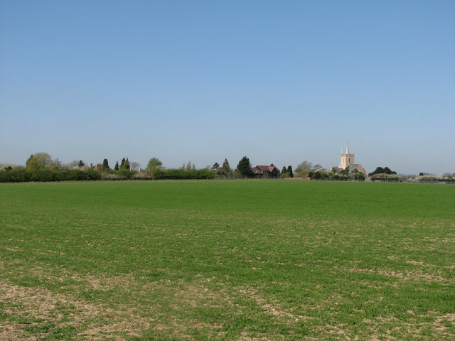
Squires Plantation is a picturesque woodland area located in the county of Cambridgeshire, England. Spanning across a vast expanse of lush greenery, it is renowned for its tranquil atmosphere and natural beauty. The plantation is situated in the heart of a dense forest, making it a haven for nature enthusiasts and wildlife lovers.

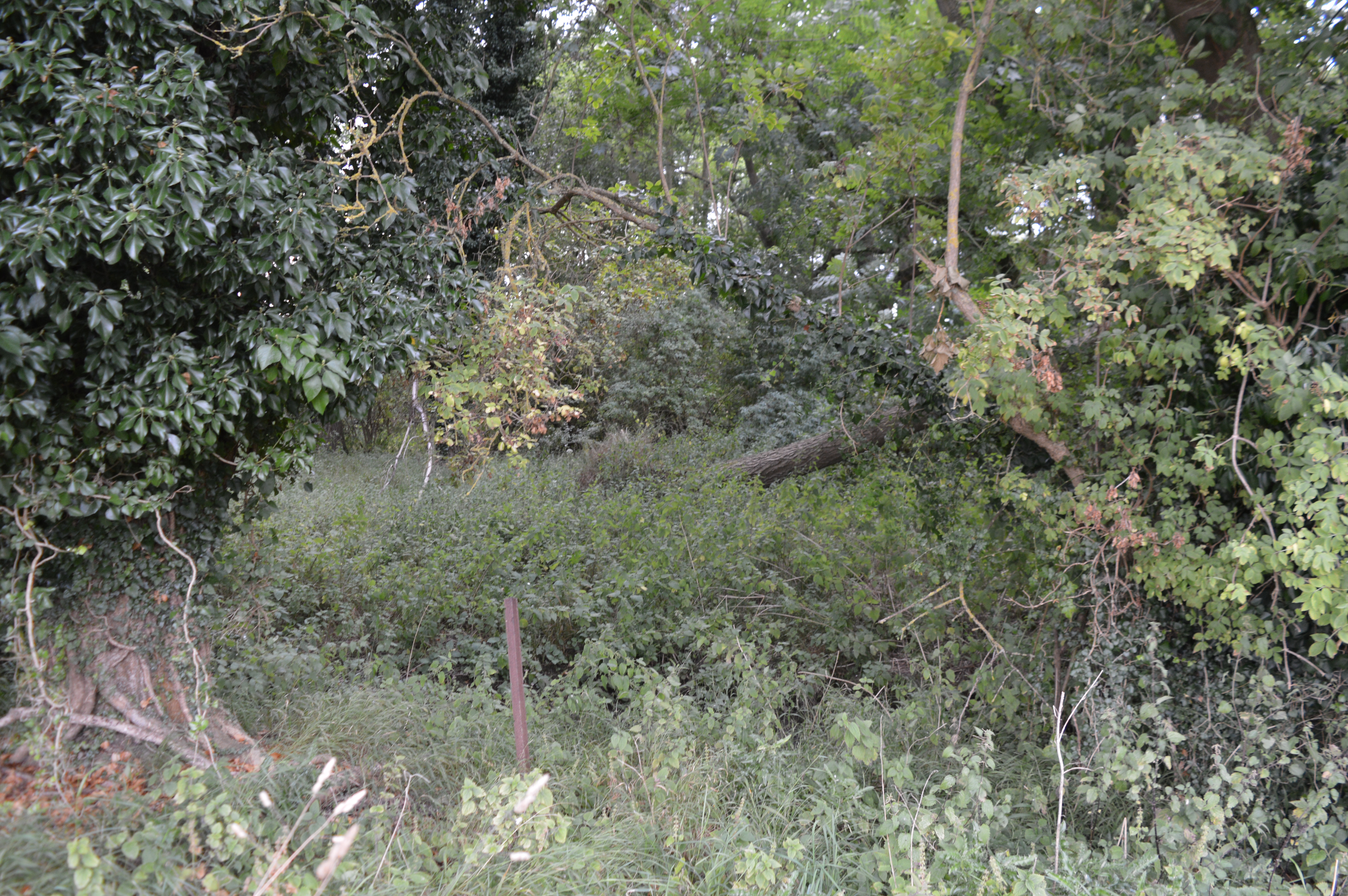
Covering an area of approximately 500 acres, Squires Plantation is predominantly composed of various species of trees, including oak, beech, and birch. The woodland is characterized by its dense canopy, which provides ample shade and shelter for a diverse range of flora and fauna. Throughout the seasons, the plantation showcases a stunning display of colors, from vibrant greens in spring and summer to golden hues in autumn.

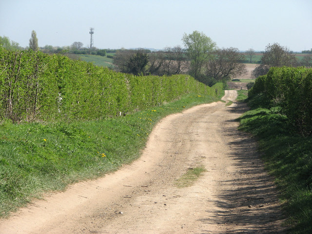
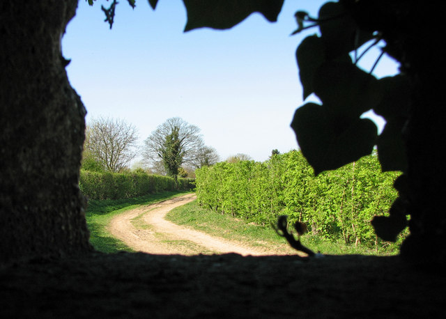
The plantation offers a plethora of outdoor activities for visitors to enjoy. Walking trails wind through the forest, allowing visitors to explore its hidden corners and discover the enchanting beauty of the woodlands. The well-maintained paths provide easy access for hikers and joggers of all abilities, while also catering to cyclists and horse riders.

Aside from its natural wonders, Squires Plantation is home to an array of wildlife. Deer, foxes, and rabbits are commonly spotted within the woodland, while a variety of bird species inhabit the trees, including woodpeckers and owls. The plantation serves as an important habitat for these creatures, providing a safe and undisturbed environment for their survival.

Squires Plantation is a true gem in the Cambridgeshire countryside, offering visitors a chance to immerse themselves in the beauty of nature and escape the hustle and bustle of everyday life.

If you have any feedback on the listing, please let us know in the comments section below.

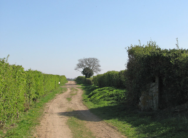
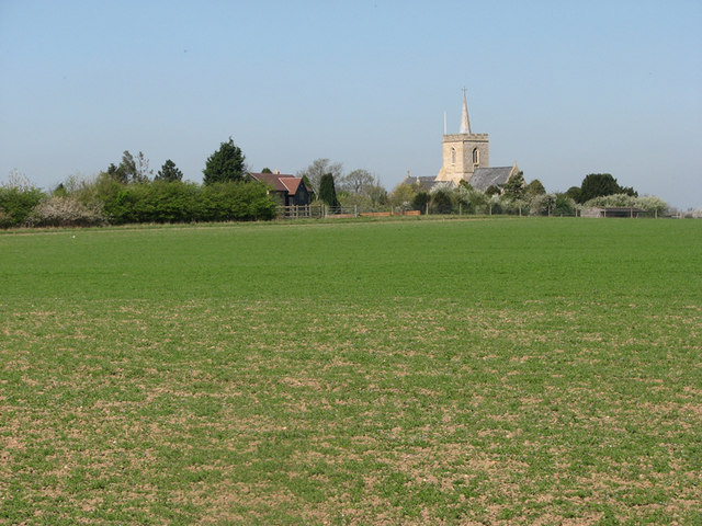
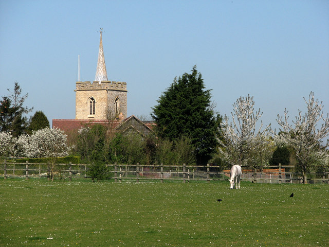
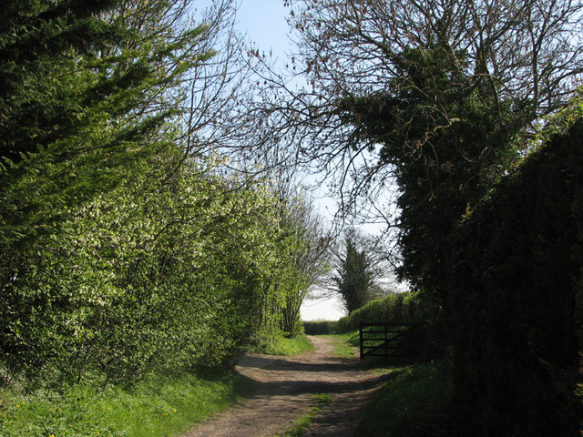
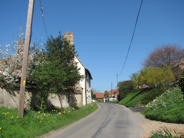
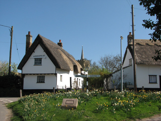
Squires Plantation Images

Images are sourced within 2km of 52.10518/0.11749036 or Grid Reference TL4547. Thanks to Geograph Open Source API. All images are credited.

Duxford public car park Imperial War Museum.
Duxford public car park
Imperial War Museum.
Entrance to Duxford Imperial War Museum
Entrance to Duxford airfield
Hercules - landing at Duxford
Bus shelter - Duxford
Hangar 2 - Duxford airfield
Car park - Duxford airfield
Entrance to Hangar 2 - Duxford
Imperial War Museum, Duxford I was going to go in, only at the time of writing, they want £16.50 admission for some parked up planes. I'll go to Heathrow and look at the planes for nowt. On the site of a former RAF base.
Imperial War Museum, Duxford
I was going to go in, only at the time of writing, they want £16.50 admission for some parked up planes. I'll go to Heathrow and look at the planes for nowt. On the site of a former RAF base.
The northern edge of Thriplow Seen from The Drift, the bridleway from Thriplow to Whittlesford, on a bright spring morning.
The northern edge of Thriplow
Seen from The Drift, the bridleway from Thriplow to Whittlesford, on a bright spring morning.
The Drift The bridleway from Thriplow to Whittlesford. The mobile phone mast on the left horizon is next to the bridge which carries The Drift over the M11.
The Drift
The bridleway from Thriplow to Whittlesford. The mobile phone mast on the left horizon is next to the bridge which carries The Drift over the M11.
Thriplow: defender's view A view of the bridleway from Thriplow to Whittlesford from inside a Second World War pillbox. For views of the pillbox on the same day and in May 2008, see <a href="https://www.geograph.org.uk/photo/2347807">TL4446 : Thriplow: overgrown pillbox on The Drift</a> and <a href="https://www.geograph.org.uk/photo/802359">TL4446 : Well-camouflaged pillbox</a>.
Thriplow: defender's view
A view of the bridleway from Thriplow to Whittlesford from inside a Second World War pillbox. For views of the pillbox on the same day and in May 2008, see TL4446 : Thriplow: overgrown pillbox on The Drift and TL4446 : Well-camouflaged pillbox.
Thriplow: overgrown pillbox on The Drift The Drift is a bridleway from Thriplow to Whittlesford. The Second World War pillbox on the right was positioned to have clear views up and down the bridle path and across the fields to the south to RAF Duxford. For the view back towards Thriplow from inside the pillbox, see <a href="https://www.geograph.org.uk/photo/2347795">TL4446 : Thriplow: defender's view</a>.
Thriplow: overgrown pillbox on The Drift
The Drift is a bridleway from Thriplow to Whittlesford. The Second World War pillbox on the right was positioned to have clear views up and down the bridle path and across the fields to the south to RAF Duxford. For the view back towards Thriplow from inside the pillbox, see TL4446 : Thriplow: defender's view.
Thriplow church from across the fields A view from the bridleway from Thriplow to Whittlesford. Keith Edkins' not dissimilar <a href="https://www.geograph.org.uk/photo/802367">TL4446 : Thriplow Church across the fields</a> was taken across a harrowed field in May 2008, from a position a bit further east.
Thriplow church from across the fields
A view from the bridleway from Thriplow to Whittlesford. Keith Edkins' not dissimilar TL4446 : Thriplow Church across the fields was taken across a harrowed field in May 2008, from a position a bit further east.
Thriplow: church, paddock and grey A zoom shot taken from the bridle path which links Thriplow and Whittlesford. The tower of the parish church of St George is topped with a slender leaded fleche (cf. nearby Haslingfield). The church stands on a low hill at the north end of the village.
Thriplow: church, paddock and grey
A zoom shot taken from the bridle path which links Thriplow and Whittlesford. The tower of the parish church of St George is topped with a slender leaded fleche (cf. nearby Haslingfield). The church stands on a low hill at the north end of the village.
Near the start of The Drift This bridleway connects Thriplow (behind the camera) and Whittlesford. This was a fine spring morning for cycling and sitting on gates in the sunshine.
Near the start of The Drift
This bridleway connects Thriplow (behind the camera) and Whittlesford. This was a fine spring morning for cycling and sitting on gates in the sunshine.
Thriplow: Church Street The daffodils for which the village is famed are past their best.
Thriplow: Church Street
The daffodils for which the village is famed are past their best.
Thriplow: Anno Domini Cottage Dating from 1687, the cottage on the left is Grade II listed. The craftsman who did the lettering had difficulty with the letter N - both are back to front. The tower of the parish church of St George is in the background. The traditional fingerpost points to Newton and Cambridge (left), Fowlmere and, to the right along Church Road, Heathfield. The daffodils for which Thriplow is locally famous were past their best, but still made a pretty picture on a bright spring morning.
Thriplow: Anno Domini Cottage
Dating from 1687, the cottage on the left is Grade II listed. The craftsman who did the lettering had difficulty with the letter N - both are back to front. The tower of the parish church of St George is in the background. The traditional fingerpost points to Newton and Cambridge (left), Fowlmere and, to the right along Church Road, Heathfield. The daffodils for which Thriplow is locally famous were past their best, but still made a pretty picture on a bright spring morning.
Show me another place!

Squires Plantation is located at Grid Ref: TL4547 (Lat: 52.10518, Lng: 0.11749036)

Administrative County: Cambridgeshire

District: South Cambridgeshire

Police Authority: Cambridgeshire

What 3 Words

///screen.geologist.skin. Near Whittlesford, Cambridgeshire

Related Wikis

Thriplow Peat Holes

Thriplow Peat Holes is a 12.2-hectare (30-acre) biological Site of Special Scientific Interest north-east of Thriplow in Cambridgeshire.The site has rare...

Whittlesford - Thriplow Hummocky Fields

Whittlesford - Thriplow Hummocky Fields is a 55.6-hectare (137-acre) biological Site of Special Scientific Interest between Whittlesford and Thriplow in...

Thriplow

Thriplow () is a village in the civil parish of Thriplow and Heathfield, in Cambridgeshire, England, 8 miles (13 km) south of Cambridge. The village also...

Thriplow Meadows

Thriplow Meadows is a 3.5-hectare (8.6-acre) biological Site of Special Scientific Interest in Thriplow in Cambridgeshire.The site has two fields with...

Nearby Amenities

Located within 500m of 52.10518,0.11749036
Chronicle Hills
Historic: archaeological_site
Natural: hill
Note: Burial mounds
Source: OS 1:25k
Lat/Long: 52.1071631/0.1194014
Little Nine Wells
Fixme: Trace this pond/spring from StreetView properly.
Source: OS Opendata StreetView
Source Name: OS Opendata StreetView
Lat/Long: 52.1055403/0.1196416
Bridge: yes
Fixme: Check that this bridge exists, per se.
Note: Bridge/culvert presumed.
Source: OS Opendata StreetView
Lat/Long: 52.1025857/0.1225668
Tourism: information
Lat/Long: 52.1009728/0.119438
The data included in this document is from www.openstreetmap.org. The data is made available under ODbL.

Have you been to Squires Plantation?

Leave your review of Squires Plantation below (or comments, questions and feedback).