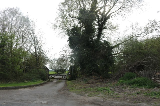
Sayes Coppice

Wood, Forest in Hertfordshire East Hertfordshire

England

Sayes Coppice

High Wych and the Rising Sun pub
High Wych and the Rising Sun pub Credit: Bikeboy

Sayes Coppice is a picturesque woodland located in the county of Hertfordshire, England. Spanning over an area of several acres, this enchanting forest is a popular destination among nature enthusiasts and outdoor lovers alike.

The coppice is characterized by its dense vegetation and diverse array of trees, including oak, beech, and birch. The woodland floor is covered with lush greenery, such as ferns, bluebells, and wildflowers, creating a vibrant and colorful atmosphere throughout the year.

Numerous walking trails meander through the coppice, offering visitors the opportunity to explore its natural beauty. These paths are well-maintained, making them accessible to people of all ages and abilities. Along the way, visitors may come across small streams, adding to the enchantment of the surroundings.

The tranquility of Sayes Coppice makes it an ideal spot for wildlife habitats. Birdwatchers will be delighted to find a variety of bird species, including woodpeckers, owls, and warblers. Squirrels, foxes, and deer are also commonly spotted within the woodland, adding to the sense of being immersed in a truly natural environment.

The coppice is managed by local authorities who ensure its preservation and protection. Visitors are encouraged to adhere to the designated paths and refrain from damaging or removing any plants or wildlife. Information boards are placed strategically throughout the woodland, providing educational insights into the flora and fauna found within.

Overall, Sayes Coppice offers a serene escape from the hustle and bustle of everyday life and provides a haven for both nature enthusiasts and those seeking a peaceful retreat in the heart of Hertfordshire.

If you have any feedback on the listing, please let us know in the comments section below.

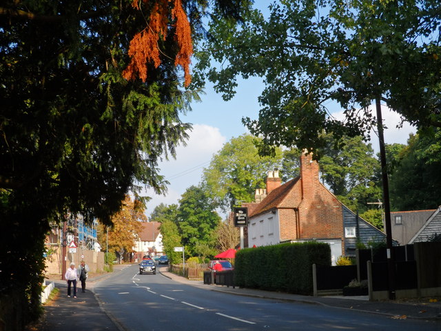
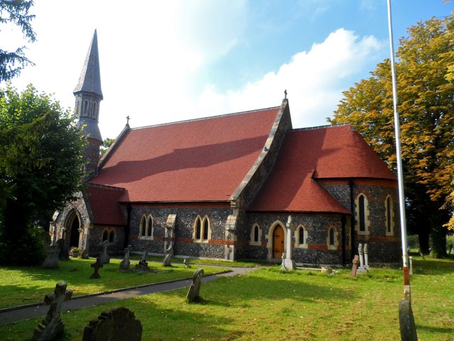
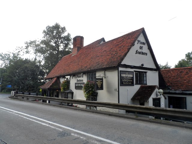
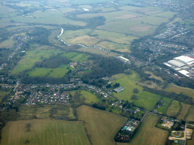
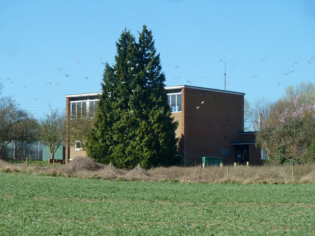
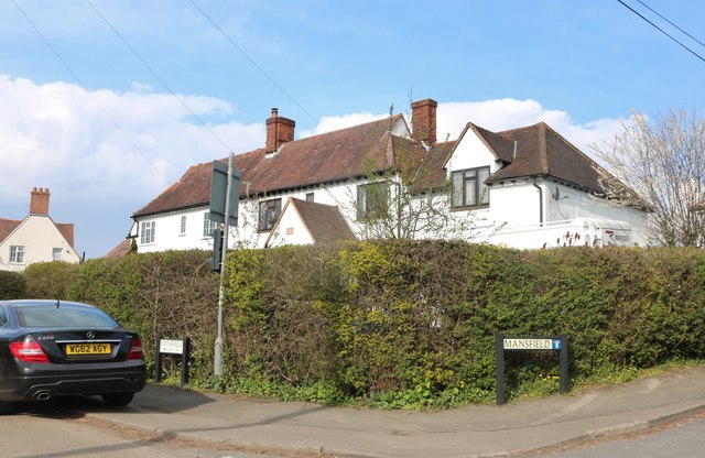
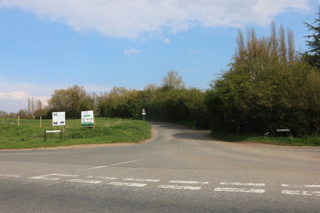
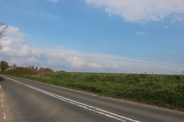
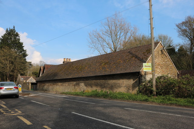
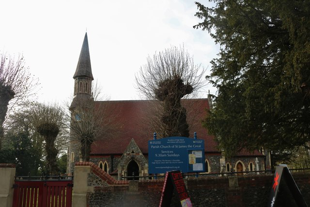
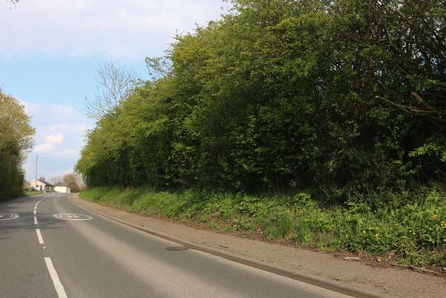
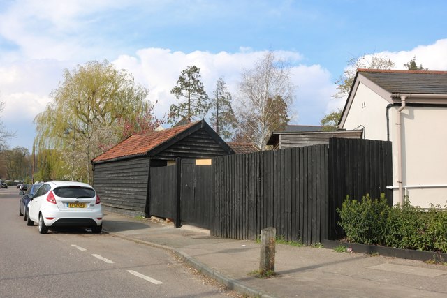
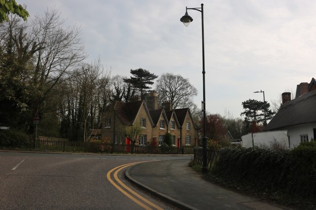
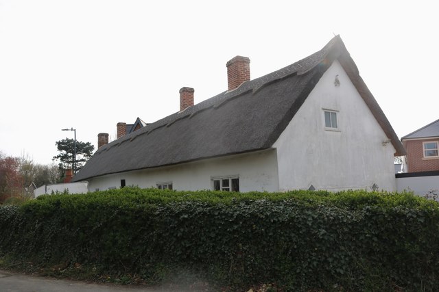
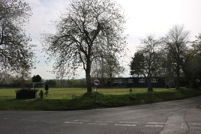
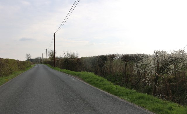
Sayes Coppice Images

Images are sourced within 2km of 51.807762/0.10346312 or Grid Reference TL4514. Thanks to Geograph Open Source API. All images are credited.

High Wych and the Rising Sun pub
St James the Great, High Wych Built 1860-1. The architect was George Edward Pritchett (1824-1912).
St James the Great, High Wych
Built 1860-1. The architect was George Edward Pritchett (1824-1912).
Plume of Feathers pub, Gilston The pub is now on a very busy corner and sunken behind traffic barriers. The noise from the traffic, the dents in the barriers from old collisions and the polluted grime make the outside of this pub rather unpleasant. It was named the Plummer's ward Arms in 1849 and the building dates from C17. See <span class="nowrap"><a title="http://www.britishlistedbuildings.co.uk/en-159898-the-plume-of-feathers-public-house-at-ju#.VoVEP_mLTIU" rel="nofollow ugc noopener" href="http://www.britishlistedbuildings.co.uk/en-159898-the-plume-of-feathers-public-house-at-ju#.VoVEP_mLTIU">Link</a><img style="margin-left:2px;" alt="External link" title="External link - shift click to open in new window" src="https://s1.geograph.org.uk/img/external.png" width="10" height="10"/></span>  for entry in British Listed Buildings
Plume of Feathers pub, Gilston
The pub is now on a very busy corner and sunken behind traffic barriers. The noise from the traffic, the dents in the barriers from old collisions and the polluted grime make the outside of this pub rather unpleasant. It was named the Plummer's ward Arms in 1849 and the building dates from C17. See LinkExternal link for entry in British Listed Buildings
Temple Fields from the air Viewed from a flight from Progaue on approach to Stansted.
Temple Fields from the air
Viewed from a flight from Progaue on approach to Stansted.
Redricks Lane from the air Rowneybury House (one owned by David and Victoria Beckham) is to the left of centre.
Redricks Lane from the air
Rowneybury House (one owned by David and Victoria Beckham) is to the left of centre.
Pump house, Redricks Lane For water, it seems - there are other waterworks compounds on the lane.
Pump house, Redricks Lane
For water, it seems - there are other waterworks compounds on the lane.
High Wych Lane at the corner of Mansfield
Redricks Lane at the junction of High Wych Road
High Wych Road
High Wych Road
Barn on High Wych Road
St James the Great Church, High Wych
Pye Corner, Gilston
Pye Corner, Gilston
High Wych Lane The shed belongs to the Half Moon pub on the right
High Wych Lane
The shed belongs to the Half Moon pub on the right
Junction on High Wych
Willis Ironmongery, High Wych Part of a small industrial yard, this makes locks and handles and was painted in the last few months.
Willis Ironmongery, High Wych
Part of a small industrial yard, this makes locks and handles and was painted in the last few months.
Playing field in High Wych
Beanfield Road north of High Wych
House entrance on Beanfield Road, High Wych
Show me another place!

Sayes Coppice is located at Grid Ref: TL4514 (Lat: 51.807762, Lng: 0.10346312)

Administrative County: Hertfordshire

District: East Hertfordshire

Police Authority: Hertfordshire

What 3 Words

///legend.sank.regime. Near Sawbridgeworth, Hertfordshire

Nearby Locations

Sayes Coppice

Related Wikis

Catuvellauni

The Catuvellauni (Common Brittonic: *Catu-wellaunī, "war-chiefs") were a Celtic tribe or state of southeastern Britain before the Roman conquest, attested...
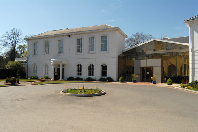
Manor of Groves

The Manor of Groves Hotel (formerly Grove Lodge) in High Wych, near Sawbridgeworth in Hertfordshire is a building of historical significance and is listed...

High Wych

High Wych is a village and civil parish in the East Hertfordshire district of Hertfordshire, England. The village is located a little over one mile south...

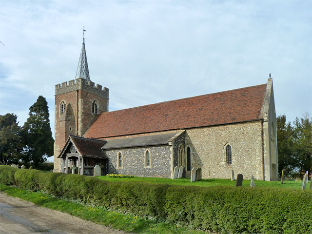
Church of St Mary, Gilston

St Mary's Church is a Anglican parish church in Gilston, Hertfordshire, England. It dates from the 13th century. The church was restored by Philip Hardwick...

Allen's Green

Allen's Green is a village in Hertfordshire, England. == External links == Media related to Allen's Green at Wikimedia Commons

Gilston Park

Gilston Park is a Grade II* listed country house in Gilston, Hertfordshire, England. It was designed by Philip Hardwick for John Hodgson around 1852....

Gilston

Gilston is a village and civil parish in the East Hertfordshire district of Hertfordshire, England. It is located a little over one mile north of the town...
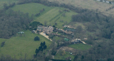
Rowneybury House

Rowneybury House is a house in Sawbridgeworth, Hertfordshire, England. The property on which Rowneybury stands was part of Pishiobury before being divided...

Nearby Amenities

Located within 500m of 51.807762,0.10346312
Material: wood
Power: pole
Lat/Long: 51.8047375/0.107642
Material: wood
Power: pole
Lat/Long: 51.8057243/0.1081473
Material: wood
Power: pole
Lat/Long: 51.8068597/0.1086896
Material: wood
Power: pole
Lat/Long: 51.8077284/0.109084
Material: wood
Power: pole
Lat/Long: 51.8087495/0.1095769
Colour: red and white
Marker: aerial
Material: plastic
Utility: gas
Lat/Long: 51.8107361/0.1020967
Colour: yellow
Marker: post
Material: plastic
Utility: gas
Lat/Long: 51.8107341/0.1021
Colour: yellow
Marker: post
Material: plastic
Utility: gas
Lat/Long: 51.8106766/0.1022156
The data included in this document is from www.openstreetmap.org. The data is made available under ODbL.

Have you been to Sayes Coppice?

Leave your review of Sayes Coppice below (or comments, questions and feedback).