Holywell Holt
Wood, Forest in Lincolnshire East Lindsey
England
Holywell Holt
Holywell Holt is a picturesque woodland area located in the county of Lincolnshire, England. Situated near the village of Holywell, this serene and enchanting forest is a haven for nature enthusiasts and those seeking tranquility in an idyllic setting.
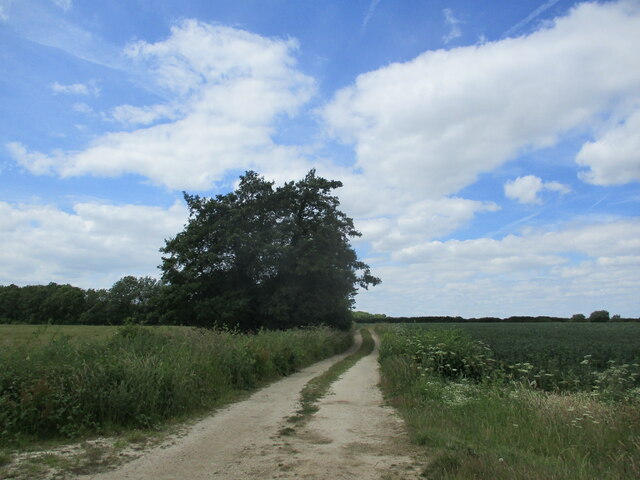
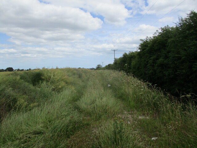
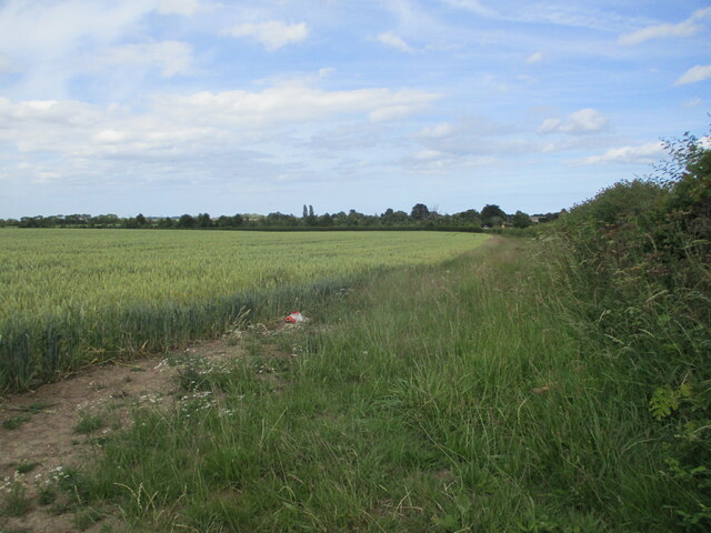
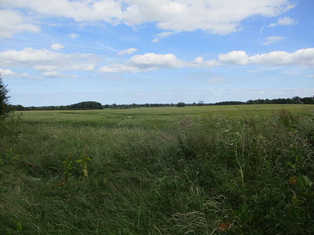
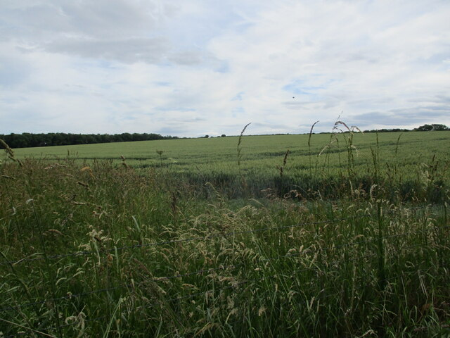
Covering an area of approximately 100 acres, Holywell Holt boasts a diverse range of trees, including oak, ash, beech, and birch, creating a rich and vibrant ecosystem. The forest floor is adorned with a carpet of lush green ferns and wildflowers, further adding to its natural beauty.
The woodland is crisscrossed by a network of well-maintained footpaths, providing visitors with the opportunity to explore its many hidden treasures. As they wander through the forest, visitors can expect to encounter an abundance of wildlife, including deer, foxes, and a variety of bird species, making it a popular spot for birdwatching.
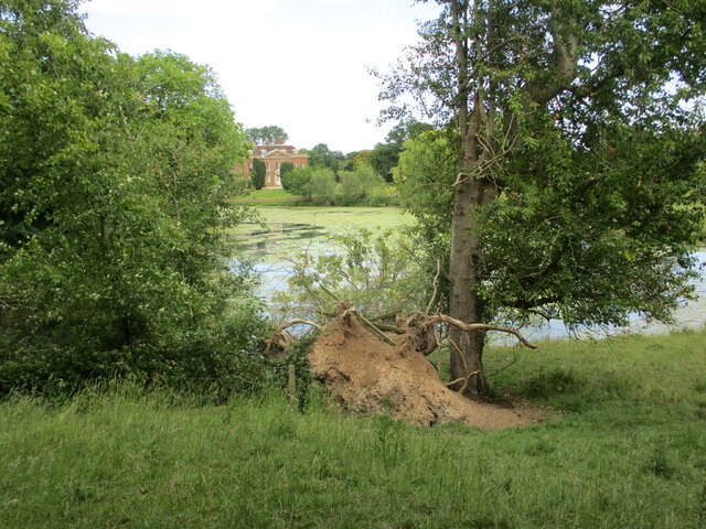
Holywell Holt is also home to a beautiful stream that meanders through the woods, adding to the tranquility of the surroundings. The gentle babbling of the water and the dappled sunlight filtering through the canopy create a soothing and peaceful atmosphere.
For those who wish to immerse themselves in the natural surroundings for a longer period, there are camping facilities available nearby, allowing visitors to fully experience the magic of Holywell Holt.
Overall, Holywell Holt in Lincolnshire is a charming and enchanting woodland that offers visitors a chance to escape the hustle and bustle of everyday life and reconnect with nature in a truly serene and picturesque setting.
If you have any feedback on the listing, please let us know in the comments section below.
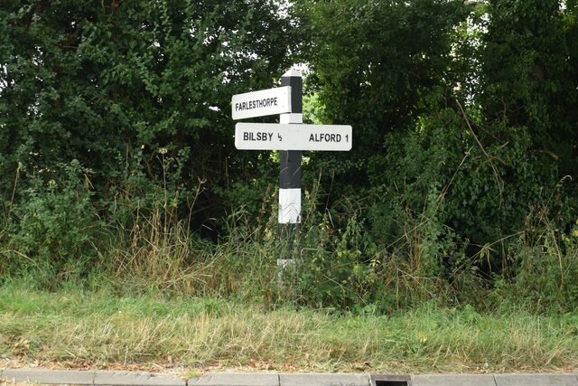
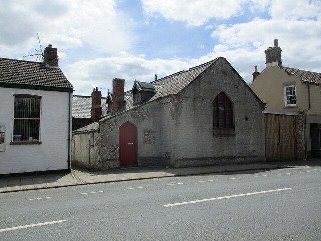
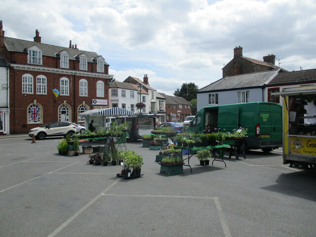
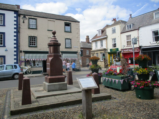
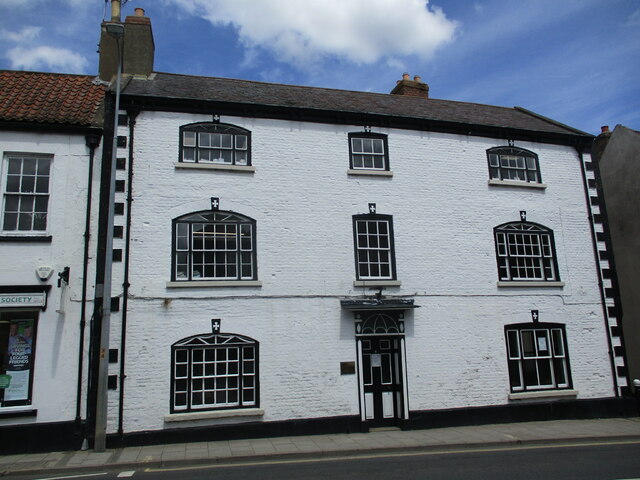
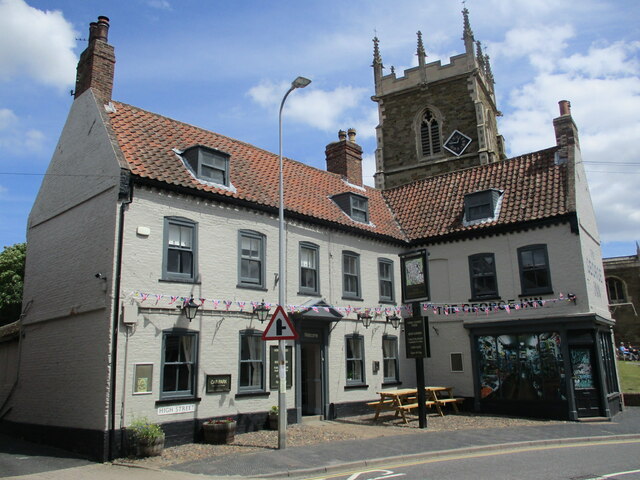
Holywell Holt Images
Images are sourced within 2km of 53.252077/0.17364684 or Grid Reference TF4574. Thanks to Geograph Open Source API. All images are credited.
Holywell Holt is located at Grid Ref: TF4574 (Lat: 53.252077, Lng: 0.17364684)
Administrative County: Lincolnshire
District: East Lindsey
Police Authority: Lincolnshire
What 3 Words
///gratitude.minus.dolls. Near Alford, Lincolnshire
Nearby Locations
Related Wikis
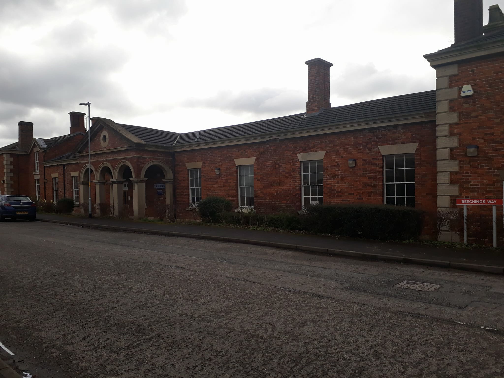
Alford Town railway station
Alford Town was a railway station on the East Lincolnshire Railway which served the town of Alford in Lincolnshire between 1848 and 1970. It originally...

Queen Elizabeth's Grammar School, Alford
Queen Elizabeth's Grammar School, Alford (QEGS) is a selective, co-educational, academy status Grammar School and Sixth Form in Alford, Lincolnshire, England...
John Spendluffe Technology College
John Spendluffe Technology College is a secondary school with academy status situated on Hanby Lane in the rural market town of Alford, Lincolnshire, England...

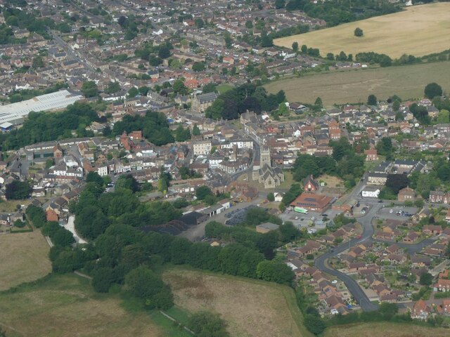
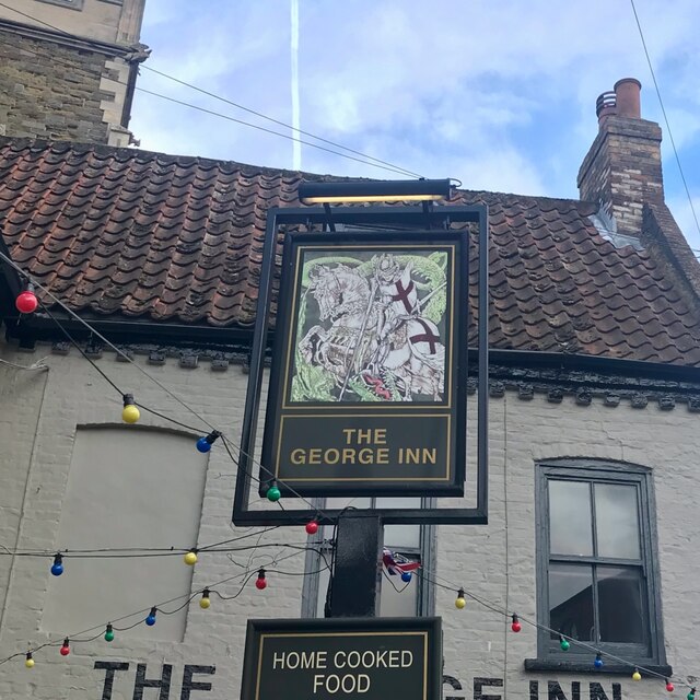
Alford, Lincolnshire
Alford (pronounced OL-fərd) is a town in the East Lindsey district of Lincolnshire, England, at the foot of the Lincolnshire Wolds, which form an Area...

Corn Exchange, Alford
The Corn Exchange is a commercial building in the Market Place in Alford, Lincolnshire, England. The structure, which is currently used as a community...

Alford Manor House
The Manor House is a Grade II* listed building which can be found on West street within Alford, Lincolnshire, England. It is believed to be the largest...
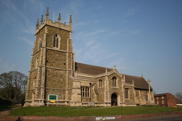
St Wilfrid's Church, Alford
St Wilfrid's, Alford is the Church of England parish church in Alford, Lincolnshire, England. It is a Grade I listed building. == Background == The church...

Well, Lincolnshire
Well is a small estate village and civil parish about 1.5 miles (2.4 km) south of the town of Alford, in the East Lindsey district of Lincolnshire, England...
Nearby Amenities
Located within 500m of 53.252077,0.17364684Have you been to Holywell Holt?
Leave your review of Holywell Holt below (or comments, questions and feedback).