Shaw's Wood

Wood, Forest in Sussex Wealden

England

Shaw's Wood

New roundabout east of Maresfield
New roundabout east of Maresfield Credit: nick macneill

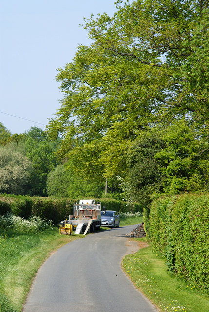
Shaw's Wood, located in Sussex, England, is a picturesque forest spanning approximately 200 acres. This woodland area is renowned for its natural beauty and rich biodiversity, attracting nature enthusiasts and hikers alike. The wood is situated near the village of Shawhurst, contributing to its name.

Shaw's Wood boasts a diverse range of tree species, including oak, beech, birch, and ash, which create a dense and vibrant canopy. The forest floor is carpeted with a variety of wildflowers, such as bluebells, primroses, and foxgloves, adding bursts of color to the landscape.

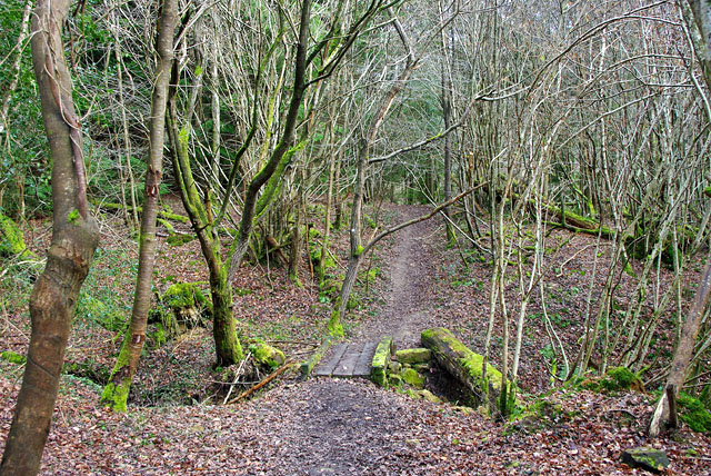
The wood is intersected by several well-maintained walking trails, allowing visitors to explore its natural wonders. These paths meander through the forest, providing opportunities to observe the local wildlife, including deer, foxes, badgers, and a plethora of bird species, from songbirds to woodpeckers.

Shaw's Wood also features a tranquil stream that meanders through the heart of the forest, offering a serene setting for picnics or moments of solitude. The babbling brook creates a soothing ambiance and provides a water source for various animals within the woodland.

Conservation efforts are paramount in Shaw's Wood, with dedicated volunteers and organizations working tirelessly to preserve its natural habitats and protect its inhabitants. The wood is a designated Site of Special Scientific Interest (SSSI), recognizing its ecological significance and the need to safeguard its unique flora and fauna.

Visitors to Shaw's Wood can immerse themselves in the tranquility of nature, enjoying its diverse landscapes and abundant wildlife. Whether exploring its trails, birdwatching, or simply taking in the serene surroundings, Shaw's Wood offers an unforgettable experience for nature enthusiasts and those seeking solace in the great outdoors.

If you have any feedback on the listing, please let us know in the comments section below.
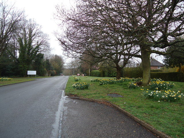
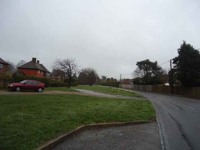
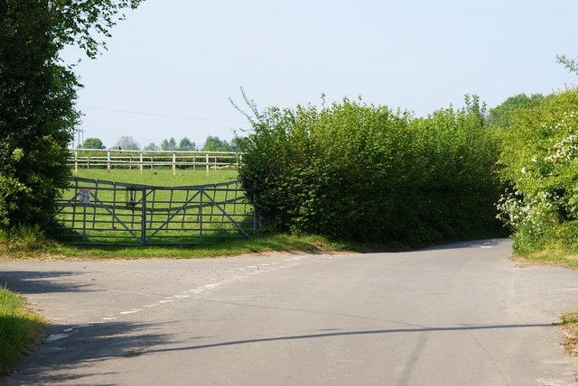
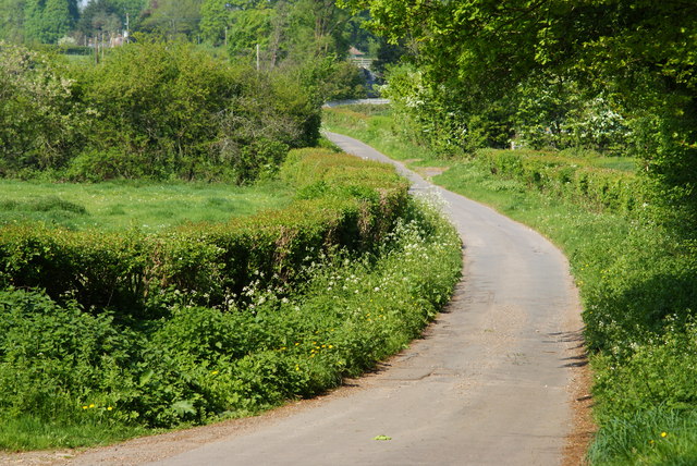
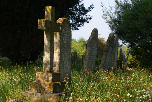
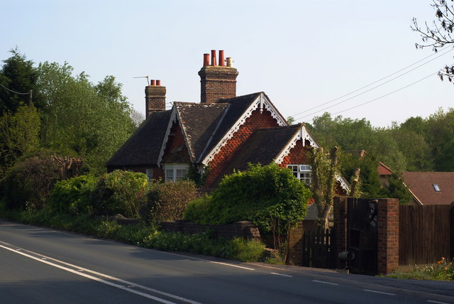
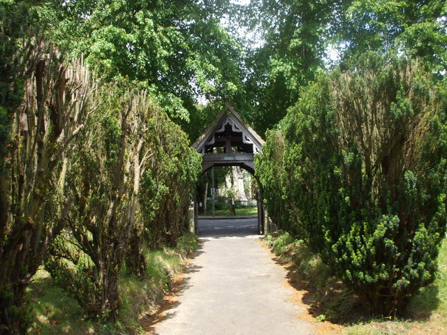
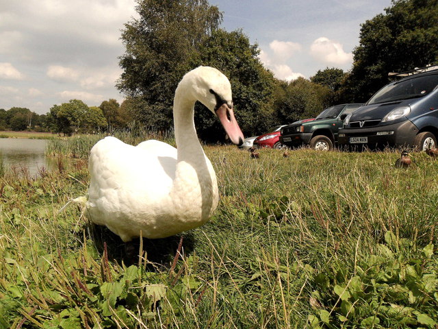
Shaw's Wood Images

Images are sourced within 2km of 50.995895/0.071353447 or Grid Reference TQ4523. Thanks to Geograph Open Source API. All images are credited.

New roundabout east of Maresfield
Batts Bridge Road, Maresfield
Junction of Nursery Lane and Burrells Lane, Sussex The location is just north of the Maresfield Park estate.
Junction of Nursery Lane and Burrells Lane, Sussex
The location is just north of the Maresfield Park estate.
Nursery Lane, Maresfield, Sussex Photograph taken from beside Nightingale Wood, looking north.
Nursery Lane, Maresfield, Sussex
Photograph taken from beside Nightingale Wood, looking north.
Nursery Lane, Maresfield, Sussex The large tree, to the right of picture, marks the position of Oak Tree Cottage.
Nursery Lane, Maresfield, Sussex
The large tree, to the right of picture, marks the position of Oak Tree Cottage.
Entrance to Maresfield Park, Sussex Formerly a large private estate, the road beyond the gatehouse is still marked as 'private'. Judging from the gatehouse, it must have been an impressive estate in its heyday.
Entrance to Maresfield Park, Sussex
Formerly a large private estate, the road beyond the gatehouse is still marked as 'private'. Judging from the gatehouse, it must have been an impressive estate in its heyday.
High Street, Maresfield, Sussex Photographed from close to Maresfield church.
High Street, Maresfield, Sussex
Photographed from close to Maresfield church.
Graves in Maresfield Cemetery, Sussex Photographed from the footpath in High Street.
Graves in Maresfield Cemetery, Sussex
Photographed from the footpath in High Street.
Graves in Maresfield Cemetery, Sussex Photographed from the footpath on High Street.
Graves in Maresfield Cemetery, Sussex
Photographed from the footpath on High Street.
The Mill House, Maresfield, Sussex The former mill house lies just within this grid square. The pond, serving this house, lies to the west; an aerial view suggests that the pond may have been truncated by the construction of the A22 Maresfield bypass, some years ago.
The Mill House, Maresfield, Sussex
The former mill house lies just within this grid square. The pond, serving this house, lies to the west; an aerial view suggests that the pond may have been truncated by the construction of the A22 Maresfield bypass, some years ago.
Church path, Maresfield Parish Church
Friendly swan by Piltdown Pond, East Sussex
The A22 approaching Batts Bridge roundabout
Road sign on the A22, Uckfield
View from the A22 north of Maresfield
Roundabout on the A22 near Maresfield
The B2026 at Maresfield
Show me another place!

Shaw's Wood is located at Grid Ref: TQ4523 (Lat: 50.995895, Lng: 0.071353447)

Administrative County: East Sussex

District: Wealden

Police Authority: Sussex

What 3 Words

///discusses.custodial.reckon. Near Uckfield, East Sussex

Related Wikis

Piltdown Man

The Piltdown Man was a paleoanthropological fraud in which bone fragments were presented as the fossilised remains of a previously unknown early human...

A.F.C. Uckfield Town

A.F.C. Uckfield Town is a community football club based in Uckfield, East Sussex, England. They are currently members of the Southern Combination Premier...

A.F.C. Uckfield

Association Football Club Uckfield was a football club based in Uckfield, East Sussex, England. == History == The club was formed in 1988 as Wealden Football...
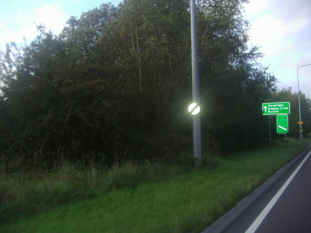
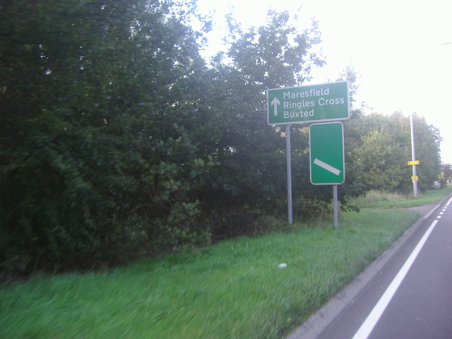
Maresfield

Maresfield is a village and civil parish in the Wealden District of East Sussex, England. The village itself lies 1.5 miles (2.4 km) north from Uckfield...

Piltdown

Piltdown is a series of hamlets in East Sussex, England, located south of Ashdown Forest. It is best known for the Piltdown Man hoax where amateur archaeologist...

Buxted Park

Buxted Park is an 84.7 hectare (206.16 acre) biological Site of Special Scientific Interest, located near the village of Buxted, East Sussex, England....

Cooper's Green

Cooper's Green is a village in the civil parish of Buxted in the Wealden district of East Sussex, England. Its nearest town is Uckfield, which lies approximately...

Rock Wood

Rock Wood is a 10.4-hectare (26-acre) biological Site of Special Scientific Interest north of Uckfield in East Sussex.This ancient wood has several different...

Nearby Amenities

Located within 500m of 50.995895,0.071353447
Batts Farm
Addr City: Maresfield
Addr Postcode: TN22 3XT
Addr Street: Batts Bridge Road
Fhrs Id: 164385
Place: farm
Source Addr: FHRS Open Data
Wikidata: Q26574940
Lat/Long: 50.99329/0.0703484
Entrance: yes
Lat/Long: 50.9943669/0.0768363
Barrier: stile
Lat/Long: 50.9984245/0.072504
Barrier: stile
Lat/Long: 50.9988105/0.0689298
Barrier: stile
Lat/Long: 50.9975979/0.0745084
Generator Method: photovoltaic
Generator Orientation: 240
Generator Output Electricity: yes
Generator Solar Modules: 60
Generator Source: solar
Generator Type: solar_photovoltaic_panel
Location: roof
Power: generator
Lat/Long: 50.9933639/0.0770625
Charging Station
Brand: Pod Point
Capacity: 8
Covered: no
Lat/Long: 50.9938675/0.0769999
Waste Basket
Lat/Long: 50.9937811/0.077372
Charging Station
Brand: Pod Point
Lat/Long: 50.9942233/0.0778333
Bicycle Parking
Bicycle Parking: stands
Capacity: 14
Covered: no
Lat/Long: 50.9942841/0.0776821
Bench
Lat/Long: 50.9942948/0.077769
Bus Stop
Ashdown Business Park
Bench: yes
Bin: no
Bus: yes
Public Transport: platform
Shelter: yes
Lat/Long: 50.9936916/0.0772982
The data included in this document is from www.openstreetmap.org. The data is made available under ODbL.

Have you been to Shaw's Wood?

Leave your review of Shaw's Wood below (or comments, questions and feedback).