Burtenshaw's Wood
Wood, Forest in Sussex Lewes
England
Burtenshaw's Wood
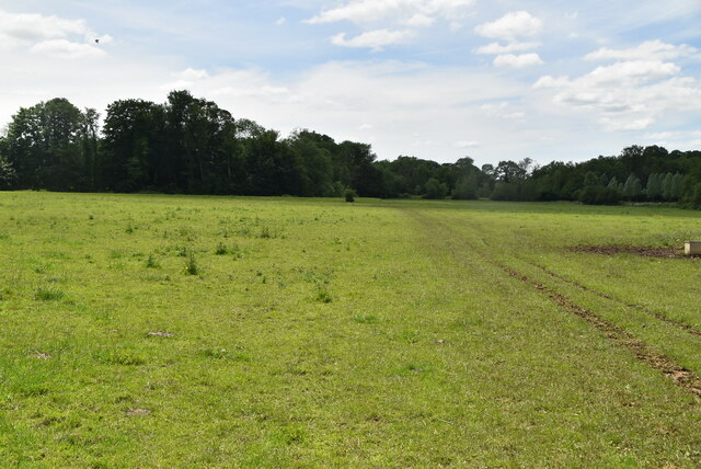
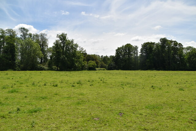
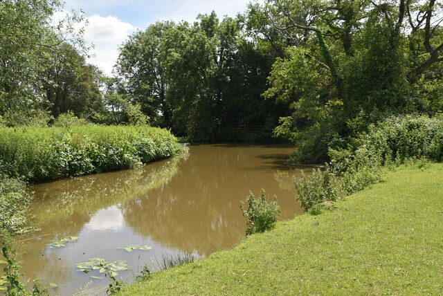
Burtenshaw's Wood is a picturesque woodland located in the county of Sussex, England. Situated near the village of Forest, this woodland area is known for its natural beauty and tranquil atmosphere. Spanning an area of approximately 50 acres, Burtenshaw's Wood is a popular destination for nature enthusiasts and outdoor lovers.
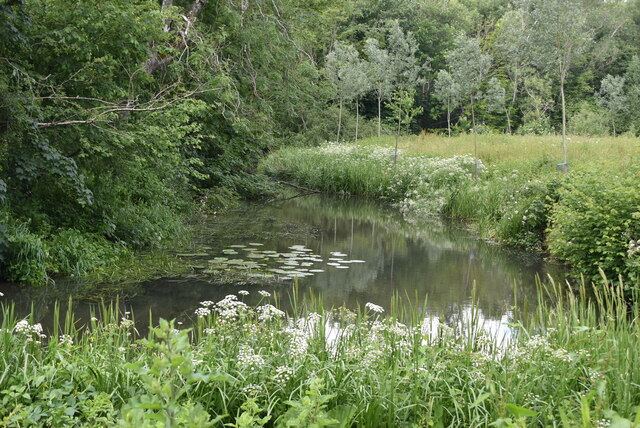
The wood is predominantly made up of native broadleaf trees, including oak, beech, and chestnut, which create a dense canopy overhead. The forest floor is covered with a rich carpet of ferns, wildflowers, and mosses, providing a lush and vibrant undergrowth. The combination of these elements creates a diverse and thriving ecosystem, supporting a variety of plant and animal species.
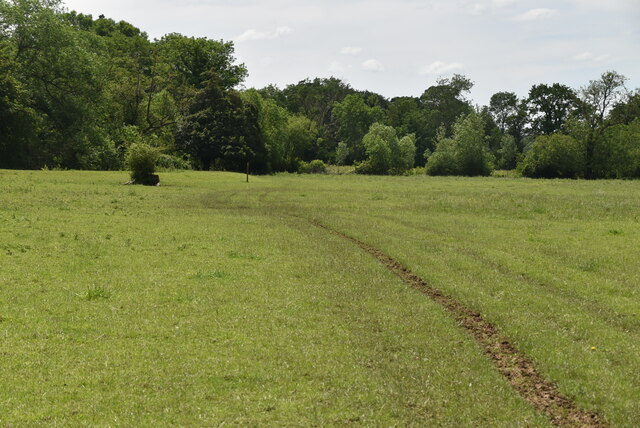
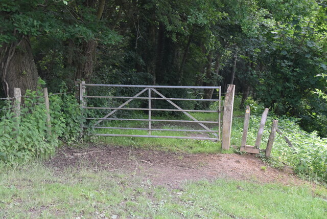
Numerous walking trails wind their way through Burtenshaw's Wood, offering visitors the opportunity to explore the area and immerse themselves in its natural wonders. These trails are well-maintained and suitable for all levels of fitness, making it an accessible destination for families and individuals of all ages.
The wood is also home to a range of wildlife, including deer, foxes, badgers, and a variety of bird species. Birdwatchers can spot woodpeckers, owls, and various songbirds throughout the year. The peaceful environment and abundance of wildlife make Burtenshaw's Wood an ideal spot for nature photography and wildlife observation.
Overall, Burtenshaw's Wood is a hidden gem in Sussex, offering visitors a chance to escape the hustle and bustle of everyday life and reconnect with nature. With its stunning scenery, diverse flora and fauna, and well-maintained trails, this woodland area is a must-visit for anyone seeking a peaceful and enriching outdoor experience.
If you have any feedback on the listing, please let us know in the comments section below.
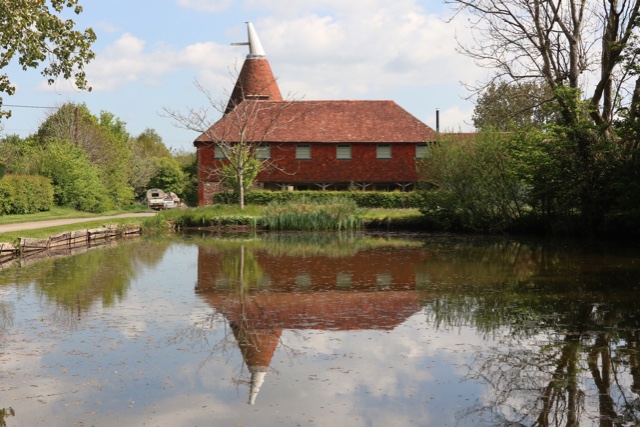
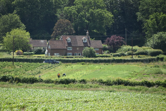
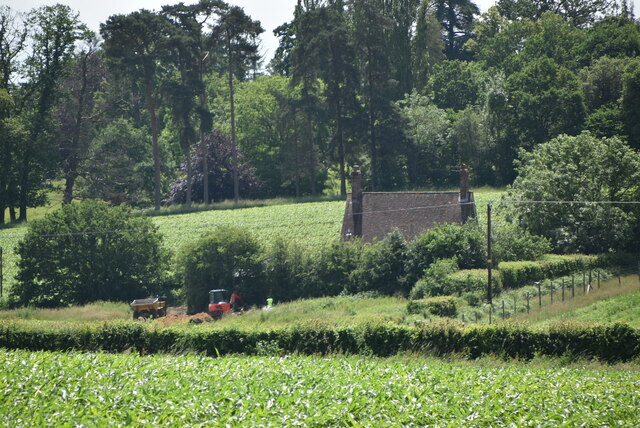
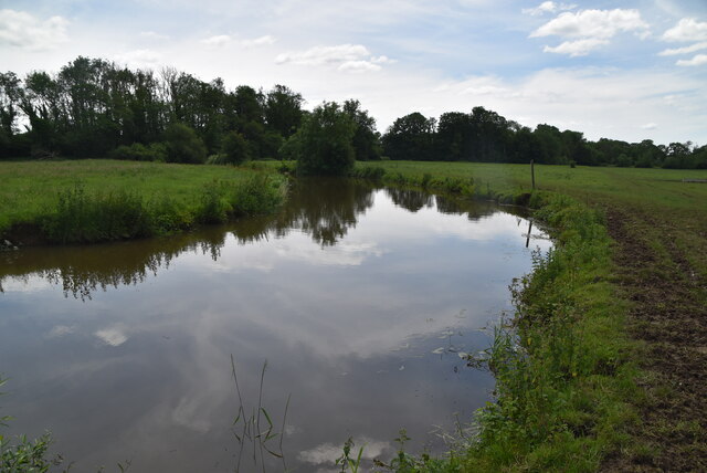
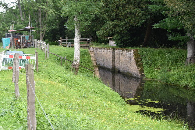
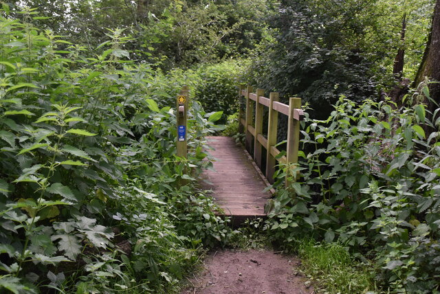
Burtenshaw's Wood Images
Images are sourced within 2km of 50.937012/0.034148593 or Grid Reference TQ4317. Thanks to Geograph Open Source API. All images are credited.


Burtenshaw's Wood is located at Grid Ref: TQ4317 (Lat: 50.937012, Lng: 0.034148593)
Administrative County: East Sussex
District: Lewes
Police Authority: Sussex
What 3 Words
///chain.hoped.tasty. Near South Chailey, East Sussex
Nearby Locations
Related Wikis

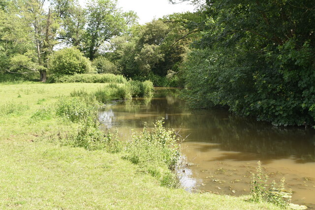
River Uck
The River Uck is a river in East Sussex, United Kingdom, which drains a catchment starting near Crowborough in the North, Hadlow Down to the East and Laughton...

Barcombe Mills
Barcombe Mills is a small settlement and an area of countryside including a local nature reserve near the village of Barcombe Cross in East Sussex, England...

Barcombe
Barcombe is an East Sussex village and civil parish in the Lewes District of East Sussex. The parish has four settlements: old Barcombe (TQ 418 143), the...

Isfield
Isfield is a small village and civil parish in the Wealden District of East Sussex in England, located north-east of Lewes. == History == The village of...

Barcombe railway station
Barcombe was a railway station serving the village of Barcombe in East Sussex. It was part of the East Grinstead to Lewes line, part of which now makes...

Lavender Line
The Lavender Line is a heritage railway based at Isfield Station, near Uckfield in East Sussex, England. == History == The Lavender Line was originally...

Isfield railway station
Isfield is a preserved railway station on the closed section of the Wealden Line which served the East Sussex village of Isfield near Uckfield. Originally...

Barcombe Mills railway station
Barcombe Mills is a disused railway station in the hamlet of Barcombe Mills, on the closed section of the Wealden Line. The station was opened in 1858...
Nearby Amenities
Located within 500m of 50.937012,0.034148593Have you been to Burtenshaw's Wood?
Leave your review of Burtenshaw's Wood below (or comments, questions and feedback).