Merlin Wood
Wood, Forest in Hertfordshire East Hertfordshire
England
Merlin Wood

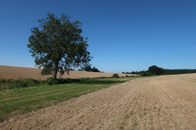
Merlin Wood is a picturesque forest located in Hertfordshire, England. Covering an area of approximately 200 acres, it is a popular destination for nature enthusiasts and those seeking tranquility amidst the beauty of the countryside. The wood is situated in close proximity to the town of Hertford, making it easily accessible for both locals and visitors.
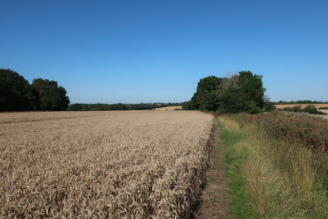
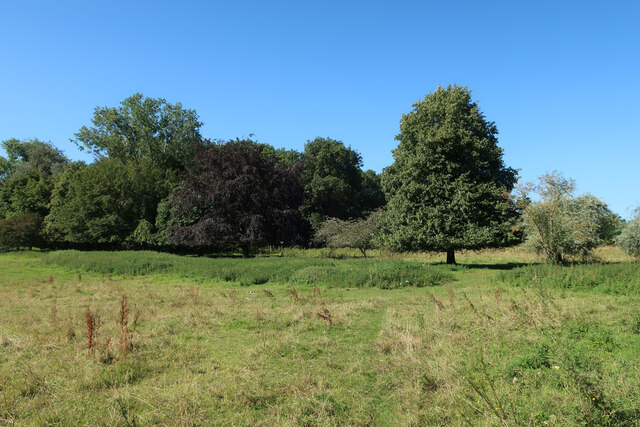
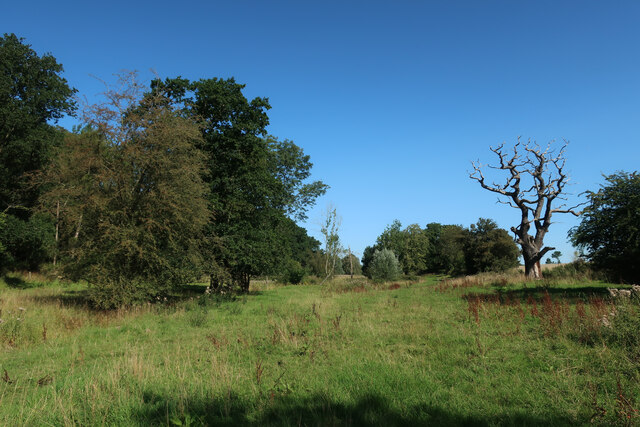
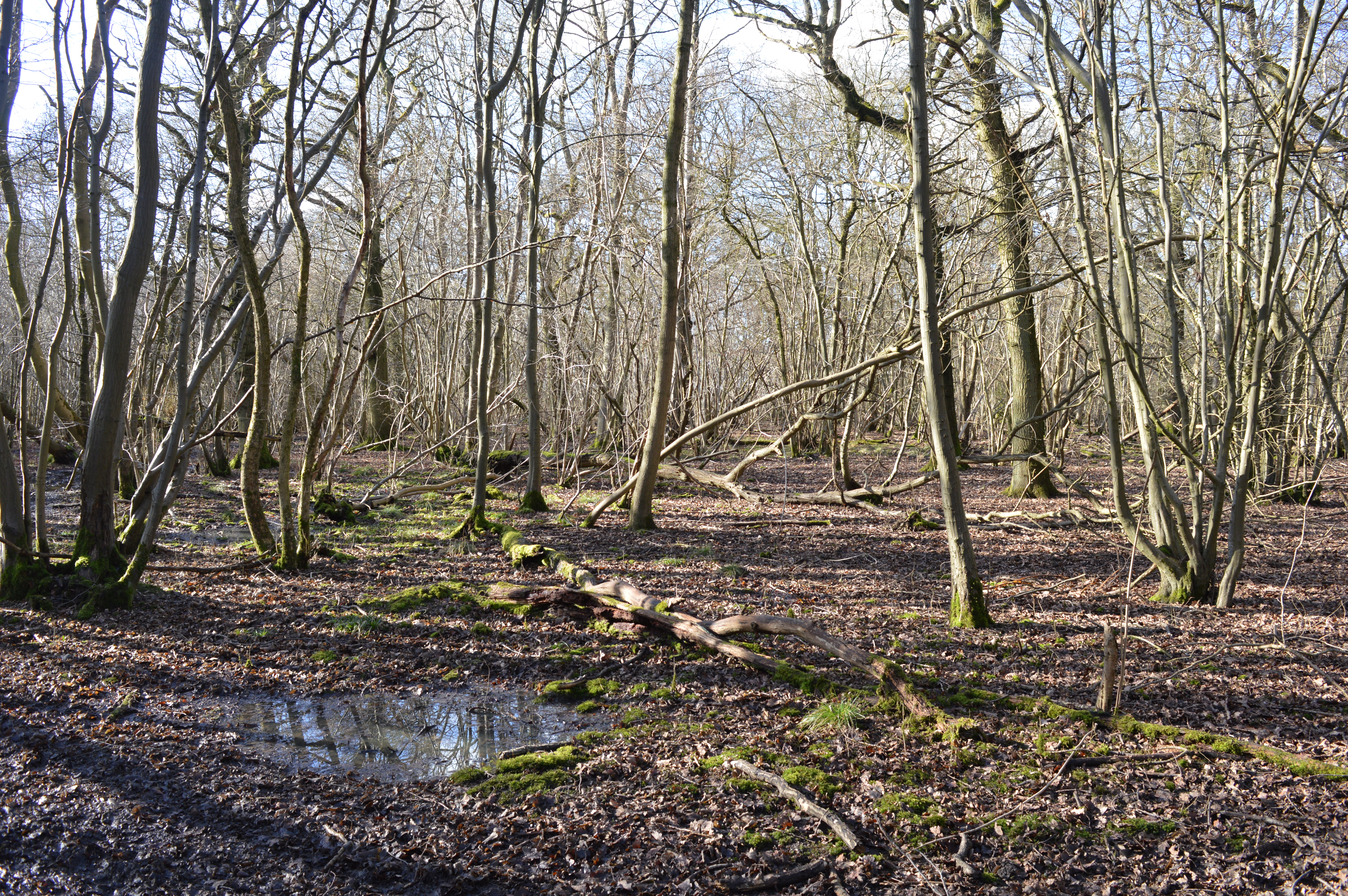
Characterized by its dense foliage, Merlin Wood offers a diverse range of trees and plant species, including oak, beech, and birch. This rich biodiversity provides a thriving habitat for a variety of wildlife, including squirrels, rabbits, and numerous species of birds. As a result, the forest is often frequented by birdwatchers and wildlife photographers, who can observe and capture these creatures in their natural environment.
The wood features several well-maintained walking trails, allowing visitors to explore its beauty at their own pace. These paths wind through the forest, offering stunning views of the surrounding landscape and providing ample opportunities for peaceful walks and invigorating hikes. Additionally, there are designated picnic areas within the wood, allowing visitors to take a break and enjoy a meal amidst the serenity of nature.
Merlin Wood also boasts a small pond, which serves as a watering hole for various animals and adds to the overall charm of the forest. Its tranquil ambiance and natural beauty make it a popular spot for relaxation and meditation.
Overall, Merlin Wood is a delightful destination for nature lovers, offering a serene escape from the hustle and bustle of everyday life. Its diverse flora and fauna, combined with its well-maintained trails, make it an idyllic location to reconnect with nature and enjoy the peacefulness of the Hertfordshire countryside.
If you have any feedback on the listing, please let us know in the comments section below.
Merlin Wood Images
Images are sourced within 2km of 51.936427/0.079027775 or Grid Reference TL4328. Thanks to Geograph Open Source API. All images are credited.


Merlin Wood is located at Grid Ref: TL4328 (Lat: 51.936427, Lng: 0.079027775)
Administrative County: Hertfordshire
District: East Hertfordshire
Police Authority: Hertfordshire
What 3 Words
///smirking.mixed.charted. Near Buntingford, Hertfordshire
Nearby Locations
Related Wikis

Furneux Pelham
Furneux Pelham or Furneaux Pelham is a village and civil parish in Hertfordshire, England. The village is one of the Pelhams, part of an early medieval...
Great Hormead Park
Great Hormead Park is a 15 hectare biological Site of Special Scientific Interest near Great Hormead in Hertfordshire. The local planning authority is...

Barleycroft End
Barleycroft End is a hamlet in Hertfordshire, England. It is in the civil parish of Furneux Pelham. == External links == Media related to Barleycroft...

Hillcollins Pit
Hillcollins Pit or Furneux Pelham Gravel Pit is a 0.2-hectare (0.49-acre) geological Site of Special Scientific Interest near Furneux Pelham in Hertfordshire...

Brent Pelham
Brent Pelham is a village and civil parish in the East Hertfordshire district, in the county of Hertfordshire, England, and situated approximately 5 miles...

Stocking Pelham
Stocking Pelham is a village and civil parish in the East Hertfordshire district of Hertfordshire, England. It is located on the border with Essex, around...
Hormead
Hormead is a civil parish in Hertfordshire, England. It comprises the villages of Great Hormead and Little Hormead and the hamlet of Hare Street and lies...

Little Hormead
Little Hormead is a village and former civil parish in the English county of Hertfordshire. It is a few miles away from the small town of Buntingford and...
Related Videos

NHRG e-walks, e-walk 65, Furneux Pelham Circular. 22/6/20.
Another very nice 12.5 mile outing from the North Herts Ramblers' catalogue. This one, 'The Three Pelhams', starting from the ...
Nearby Amenities
Located within 500m of 51.936427,0.079027775Have you been to Merlin Wood?
Leave your review of Merlin Wood below (or comments, questions and feedback).