Little Ann Wood
Wood, Forest in Sussex Wealden
England
Little Ann Wood

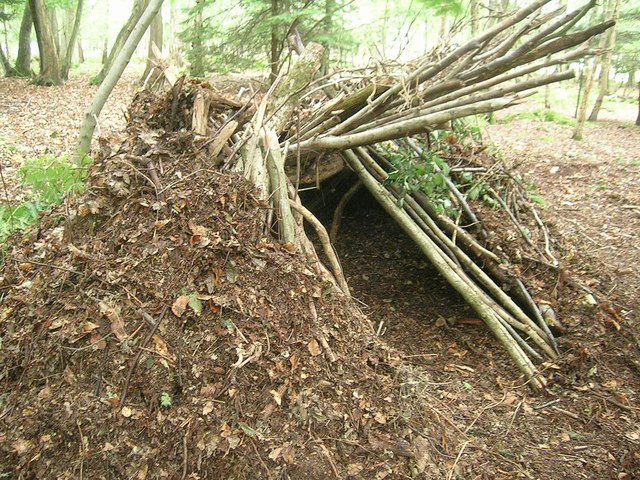
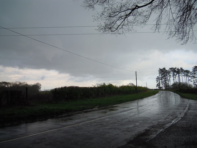
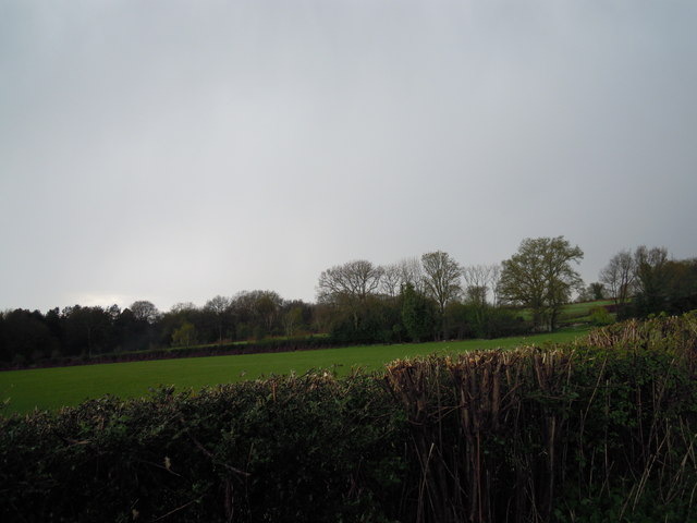
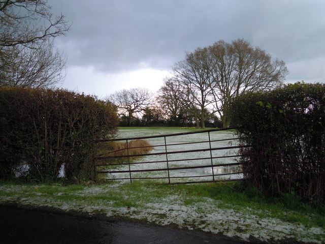
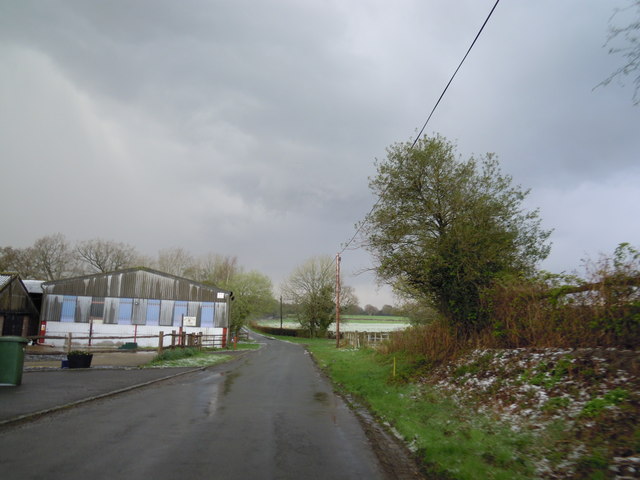
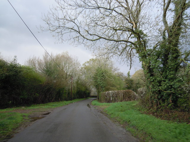
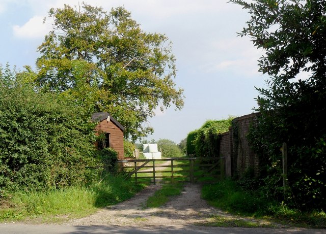
Little Ann Wood is a small forest located in Sussex, England. It is an enchanting woodland area that covers an approximate area of 100 acres. The forest is known for its dense vegetation and diverse range of trees, creating a picturesque and serene environment.
The woodland is predominantly composed of deciduous trees, such as oak, beech, and birch, which provide a rich canopy of greenery throughout the year. The forest floor is covered with a variety of wildflowers and mosses, adding to its natural beauty.
Little Ann Wood is home to a plethora of wildlife, including several species of birds, mammals, and insects. It serves as a sanctuary for a wide range of bird species, making it a popular spot for birdwatching enthusiasts. Among the notable bird species found in the forest are the Eurasian sparrowhawk, great spotted woodpecker, and tawny owl.
The woodland also provides an ideal habitat for mammals like foxes, rabbits, and deer. Visitors may be lucky enough to catch a glimpse of these elusive creatures while exploring the forest trails. Additionally, the diverse insect population in Little Ann Wood makes it an excellent location for those interested in studying or photographing insects.
With its tranquil ambiance and natural beauty, Little Ann Wood is a favorite destination for nature lovers, hikers, and photographers. Its well-maintained trails and peaceful atmosphere make it an ideal place for those seeking a break from the hustle and bustle of city life.
If you have any feedback on the listing, please let us know in the comments section below.
Little Ann Wood Images
Images are sourced within 2km of 51.028438/0.025941097 or Grid Reference TQ4227. Thanks to Geograph Open Source API. All images are credited.


Little Ann Wood is located at Grid Ref: TQ4227 (Lat: 51.028438, Lng: 0.025941097)
Administrative County: East Sussex
District: Wealden
Police Authority: Sussex
What 3 Words
///reservoir.sport.gasping. Near Horsted Keynes, West Sussex
Nearby Locations
Related Wikis

Danehill, East Sussex
Danehill is a village in East Sussex, England. == Religious sites == There are two Anglican churches in the parish: one at Danehill (dedicated to All Saints...

Furner's Green
Furner's Green is a hamlet in the civil parish of Danehill in East Sussex, England. == Geography == Furner's Green lies on the Greenwich Meridian about...

Nutley, East Sussex
Nutley is a village in the Wealden District of East Sussex, England. It lies about 5 mi (8.0 km) north-west of Uckfield, the main road being the A22. Nutley...
Chelwood Gate
Chelwood Gate is a small village within the civil parish of Danehill in the Wealden district of East Sussex, England. Its nearest town is Uckfield, which...

Isaac Roberts' Observatory
Isaac Roberts' Observatory was an observatory, installed in the private home of the British astronomer Isaac Roberts. It was in Crowborough, Sussex, and...

Birch Grove
Birch Grove, Horsted Keynes, West Sussex, England is a country house dating from 1926. It was the family home of the British prime minister Harold Macmillan...

Sheffield Park and Garden
Sheffield Park and Garden is an informal landscape garden five miles east of Haywards Heath, in East Sussex, England. It was originally laid out in the...
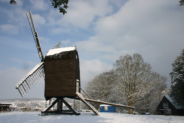
Nutley Windmill
Nutley Windmill is a grade II* listed open trestle post mill at Nutley, East Sussex, England which has been restored to working order. == History == Nutley...
Related Videos

Landscape Adventures S1 Ep10 | SEASON FINALE | Take Me to the Bridge (Chelwood Vachery)
SEASON FINALE! It's episode 10. I finally make it to Chelwood Vachery. Will everything go to plan? It would make a nice change if ...


Adventures in a bus and meeting wallabies! 🚌🦘 #2
Business Email: ◕ mirelalilova@abv.bg Instagram: ◕ http://instagram.com/mirelalilova Twitter: ◕ https://twitter.com/mirelkaaaaa ...

Rugby spin pass
Rugby spins pass exercise.
Nearby Amenities
Located within 500m of 51.028438,0.025941097Have you been to Little Ann Wood?
Leave your review of Little Ann Wood below (or comments, questions and feedback).