Rockpit Wood

Wood, Forest in Kent

England

Rockpit Wood

Chislehurst Outside the railway station, a promotional vehicle for a nearby restaurant.
Chislehurst Credit: Peter Trimming

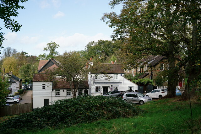
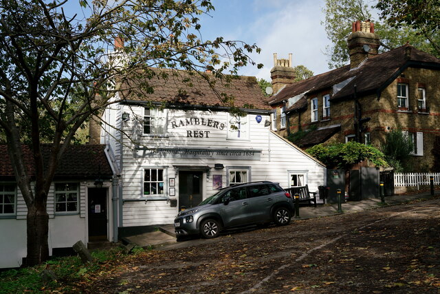
Rockpit Wood is a picturesque woodland located in the county of Kent, England. It spans an area of approximately 50 acres and is renowned for its natural beauty and diverse ecosystem. Situated near the village of Rockpit, the wood is easily accessible and attracts both locals and tourists alike.

The wood is predominantly composed of native tree species such as oak, beech, and birch, which create a dense canopy overhead, providing a cool and shaded environment. The forest floor is adorned with a carpet of bluebells in the spring, creating a stunning display of color. Additionally, the wood is home to a variety of wildlife, including deer, squirrels, and a plethora of bird species.

Rockpit Wood is a haven for nature enthusiasts and offers an array of recreational activities. Visitors can enjoy leisurely walks along the well-maintained trails that wind through the wood, providing an opportunity to immerse oneself in the tranquility of nature. The wood also features several picnic areas, inviting visitors to relax and enjoy the serene surroundings.

Furthermore, Rockpit Wood is of historical significance, with remnants of a medieval settlement still visible within its boundaries. This adds an element of intrigue to the wood, as visitors can explore the remnants of a bygone era.

In conclusion, Rockpit Wood is a captivating woodland in Kent, encompassing stunning natural beauty, diverse wildlife, and a touch of history. Whether for a peaceful stroll, a picnic, or an exploration of the past, this woodland offers a memorable experience for all who venture into its enchanting embrace.

If you have any feedback on the listing, please let us know in the comments section below.
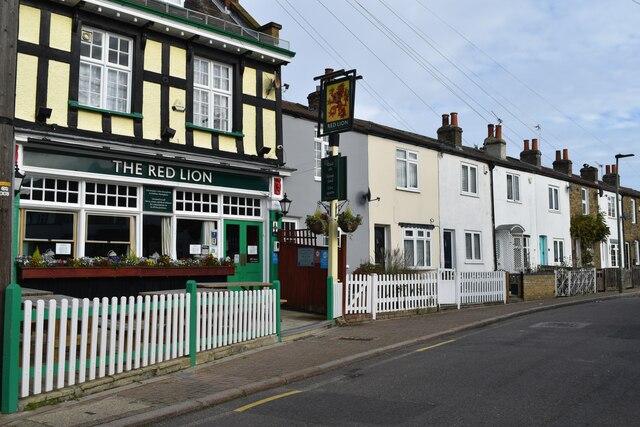
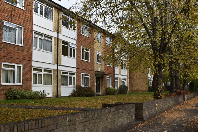
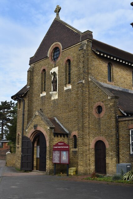
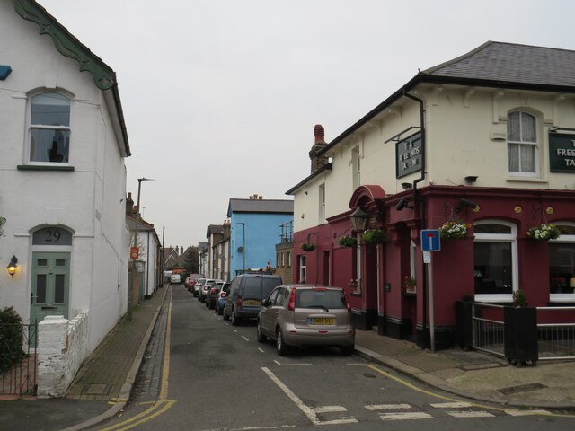
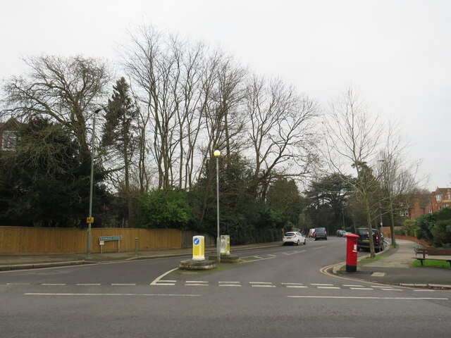
Rockpit Wood Images

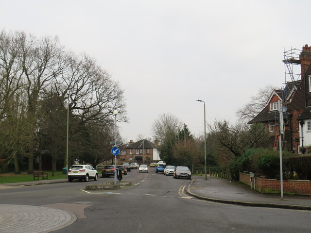
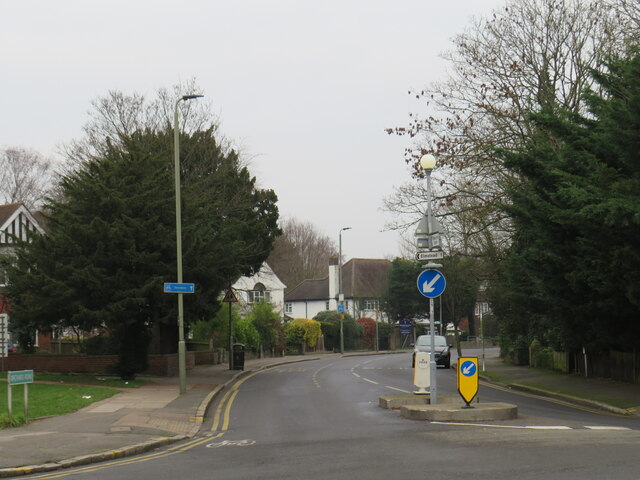
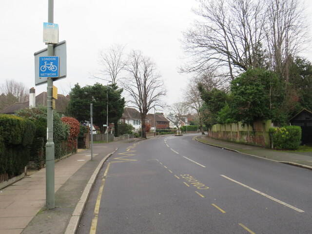
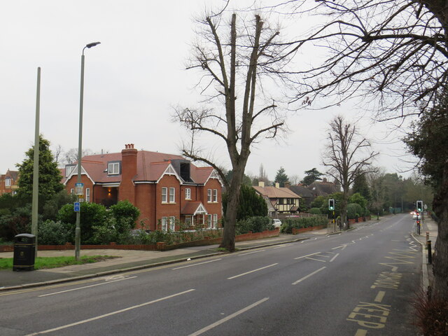
Images are sourced within 2km of 51.415492/0.043007951 or Grid Reference TQ4270. Thanks to Geograph Open Source API. All images are credited.

Chislehurst Outside the railway station, a promotional vehicle for a nearby restaurant.
Chislehurst
Outside the railway station, a promotional vehicle for a nearby restaurant.
The Ramblers Rest Located beside the A222, on Summer Hill, Chislehurst.
The Ramblers Rest
Located beside the A222, on Summer Hill, Chislehurst.
The Ramblers Rest Located beside the A222, on Summer Hill, Chislehurst.
The Ramblers Rest
Located beside the A222, on Summer Hill, Chislehurst.
The Prince Imperial Monument Napoléon, Prince Imperial (Napoléon Eugène Louis Jean Joseph Bonaparte; 16 March 1856 – 1 June 1879). After his father was dethroned in 1870, he moved with his family to England. On his father's death in January 1873, he was proclaimed by the Bonapartist faction as Napoleon IV. 

In England, he trained as a soldier. Keen to see action, he persuaded the British to allow him to participate in the Anglo-Zulu War. In 1879, serving with British forces, he was killed in a skirmish with a group of Zulus.
The Prince Imperial Monument
Napoléon, Prince Imperial (Napoléon Eugène Louis Jean Joseph Bonaparte; 16 March 1856 – 1 June 1879). After his father was dethroned in 1870, he moved with his family to England. On his father's death in January 1873, he was proclaimed by the Bonapartist faction as Napoleon IV. In England, he trained as a soldier. Keen to see action, he persuaded the British to allow him to participate in the Anglo-Zulu War. In 1879, serving with British forces, he was killed in a skirmish with a group of Zulus.
The Prince Imperial Monument Napoléon, Prince Imperial (Napoléon Eugène Louis Jean Joseph Bonaparte; 16 March 1856 – 1 June 1879). After his father was dethroned in 1870, he moved with his family to England. On his father's death in January 1873, he was proclaimed by the Bonapartist faction as Napoleon IV.

In England, he trained as a soldier. Keen to see action, he persuaded the British to allow him to participate in the Anglo-Zulu War. In 1879, serving with British forces, he was killed in a skirmish with a group of Zulus.
The Prince Imperial Monument
Napoléon, Prince Imperial (Napoléon Eugène Louis Jean Joseph Bonaparte; 16 March 1856 – 1 June 1879). After his father was dethroned in 1870, he moved with his family to England. On his father's death in January 1873, he was proclaimed by the Bonapartist faction as Napoleon IV. In England, he trained as a soldier. Keen to see action, he persuaded the British to allow him to participate in the Anglo-Zulu War. In 1879, serving with British forces, he was killed in a skirmish with a group of Zulus.
The Red Lion pub and houses in North Road
Low-rise apartment buildings in Upper Park Road
St Joseph’s Catholic Church, Plaistow Lane
Plymouth Road, Bromley Plymouth Road is a short and narrow residential cul-de-sac in Bromley, in the outer suburbs of south east London.

This photo was taken on a dull and gloomy January afternoon.
Plymouth Road, Bromley
Plymouth Road is a short and narrow residential cul-de-sac in Bromley, in the outer suburbs of south east London. This photo was taken on a dull and gloomy January afternoon.
Freelands Grove, Bromley Freelands Grove is a residential road in Bromley, in the outer suburbs of south east London.

This photo was taken on a dull and gloomy January afternoon.  Trees were bare for the winter months.
Freelands Grove, Bromley
Freelands Grove is a residential road in Bromley, in the outer suburbs of south east London. This photo was taken on a dull and gloomy January afternoon. Trees were bare for the winter months.
Trinity Bromley United Reformed Church The United Reformed Church in Bromley, photographed on a dull and gloomy January afternoon.  Some of the trees in the image were bare for the winter months, but there were also some evergreens which had kept their leaves.
Trinity Bromley United Reformed Church
The United Reformed Church in Bromley, photographed on a dull and gloomy January afternoon. Some of the trees in the image were bare for the winter months, but there were also some evergreens which had kept their leaves.
Park Road, Bromley Park Road is a residential road in Bromley, in the outer suburbs of south east London.

This photo was taken on a dull and gloomy January afternoon.
Park Road, Bromley
Park Road is a residential road in Bromley, in the outer suburbs of south east London. This photo was taken on a dull and gloomy January afternoon.
St. Joseph's Church, Bromley St. Joseph's Church is a Roman Catholic church in Bromley, in the outer suburbs of south east London.  The church building, to the left, was built in 1912.

This photo was taken on a dull and gloomy January afternoon.
St. Joseph's Church, Bromley
St. Joseph's Church is a Roman Catholic church in Bromley, in the outer suburbs of south east London. The church building, to the left, was built in 1912. This photo was taken on a dull and gloomy January afternoon.
Plaistow Lane, Bromley Plaistow Lane is a minor road in Bromley, in the outer suburbs of south east London.

This photo was taken on a dull and gloomy January afternoon.  Most of the trees in this image were bare for the winter months, although a couple of evergreens are also visible.
Plaistow Lane, Bromley
Plaistow Lane is a minor road in Bromley, in the outer suburbs of south east London. This photo was taken on a dull and gloomy January afternoon. Most of the trees in this image were bare for the winter months, although a couple of evergreens are also visible.
Orchard Road, Bromley Orchard Road, in the outer suburbs of south east London, forms part of the London Cycle Network.  This is indicated by the blue signs on lamp posts to the left of the road.

This photo was taken on a dull and gloomy January afternoon.  Deciduous trees were bare for the winter months, but evergreens had kept their leaves.
Orchard Road, Bromley
Orchard Road, in the outer suburbs of south east London, forms part of the London Cycle Network. This is indicated by the blue signs on lamp posts to the left of the road. This photo was taken on a dull and gloomy January afternoon. Deciduous trees were bare for the winter months, but evergreens had kept their leaves.
Orchard Road, Bromley Orchard Road is a minor road in Bromley, in the outer suburbs of south east London.  The road forms part of the London Cycle Network, as indicated by the blue sign.

This image was taken on a dull January afternoon.  Deciduous trees were bare for winter, but the evergreens had kept their leaves.
Orchard Road, Bromley
Orchard Road is a minor road in Bromley, in the outer suburbs of south east London. The road forms part of the London Cycle Network, as indicated by the blue sign. This image was taken on a dull January afternoon. Deciduous trees were bare for winter, but the evergreens had kept their leaves.
Orchard Road, Bromley Orchard Road is a minor road in Bromley, in the outer suburbs of south east London.  It forms part of the London Cycle Network.

This image was taken on a dull January afternoon.  Deciduous trees were bare for winter, but the evergreens had kept their leaves.
Orchard Road, Bromley
Orchard Road is a minor road in Bromley, in the outer suburbs of south east London. It forms part of the London Cycle Network. This image was taken on a dull January afternoon. Deciduous trees were bare for winter, but the evergreens had kept their leaves.
Sundridge Avenue, Bromley Sundridge Avenue is a residential road in Bromley, in the outer suburbs of south east London.

This image was taken on a dull January afternoon.  Deciduous trees were bare for winter, but the evergreens had kept their leaves.
Sundridge Avenue, Bromley
Sundridge Avenue is a residential road in Bromley, in the outer suburbs of south east London. This image was taken on a dull January afternoon. Deciduous trees were bare for winter, but the evergreens had kept their leaves.
Show me another place!

Rockpit Wood is located at Grid Ref: TQ4270 (Lat: 51.415492, Lng: 0.043007951)

Unitary Authority: Bromley

Police Authority: Metropolitan

What 3 Words

///gasp.ruled.pound. Near Chislehurst, London

Nearby Locations

Elmstead Rockpit Wood

Related Wikis

Elmstead Woods railway station

Elmstead Woods railway station is on the South Eastern Main Line, serving the district of Elmstead in the London Borough of Bromley. It is 10 miles 21...

Elmstead Pit

Elmstead Pit is a geological Site of Special Scientific Interest in Elmstead in the London Borough of Bromley. Formerly known as Rock Pits, it is a small...

Elmstead, London

Elmstead is a residential district in south-east London, England, within the London Borough of Bromley. It is located north-east of Bromley. == History... ==
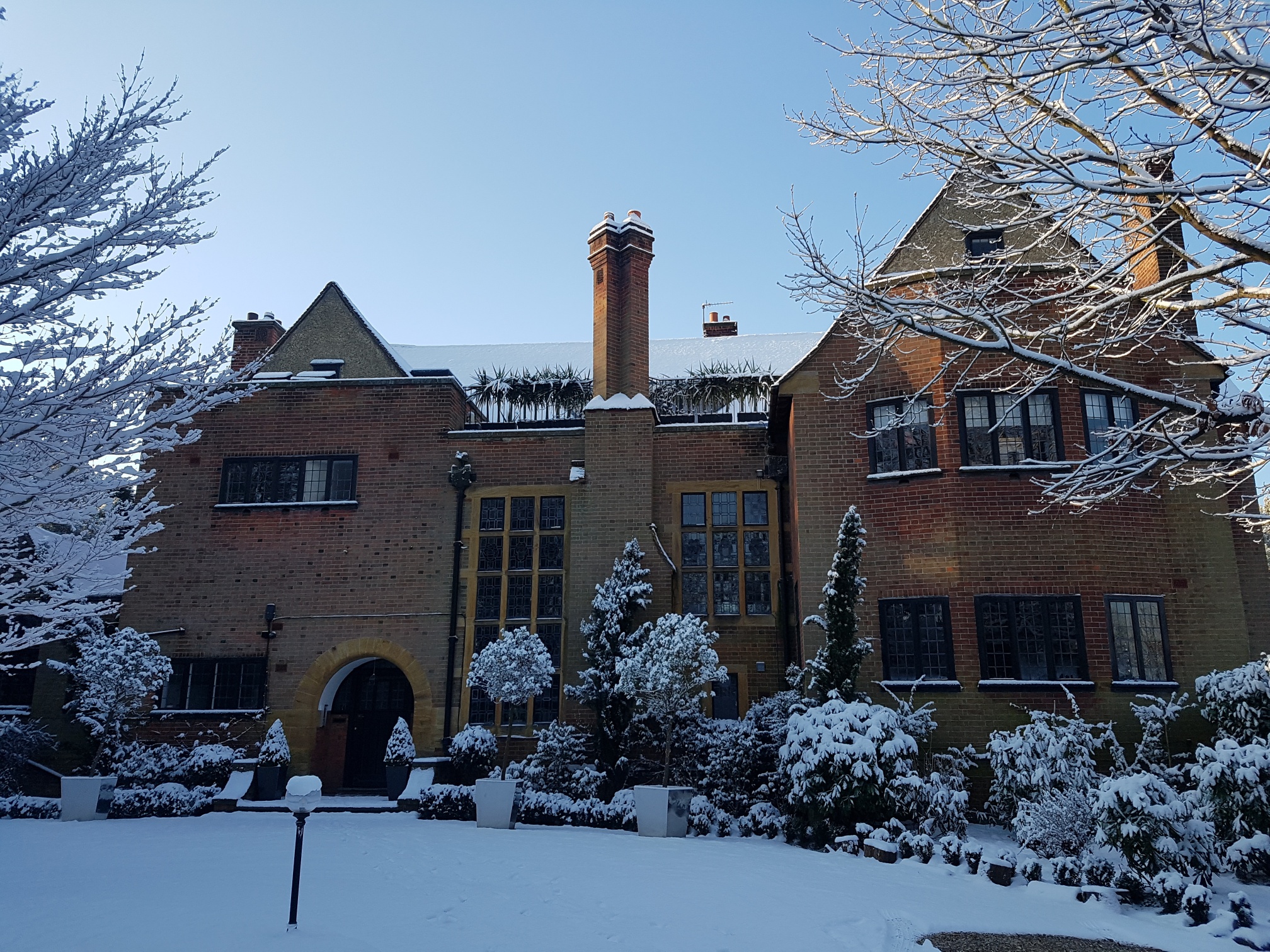
Stotfold (house)

Stotfold is a 1907 Arts & Crafts house in Mavelstone Road in the London Borough of Bromley. It became a Grade II listed building in 1993 for being "of...

Bullers Wood School

Bullers Wood School is a comprehensive girls' school with a mixed Sixth Form academy school located on St Nicolas Lane in Chislehurst, part of the London...

Grove Park Cemetery

Grove Park Cemetery is a cemetery in Chinbrook, Grove Park in the London Borough of Lewisham, that opened in 1935. == Location == It is located near Grove...

Holy Trinity College Bromley

Holy Trinity College Bromley (formerly Holy Trinity Convent) was an all-girls infant, junior and senior school from the mid 19th century to December 2005...

Chislehurst Caves

Chislehurst Caves are a series of intersecting man-made tunnels and caverns covering some 22 miles (35.4 km) in Chislehurst in the London Borough of Bromley...

Nearby Amenities

Located within 500m of 51.415492,0.043007951
Elmstead Woods
Local Ref: 4
Public Transport: stop_position
Railway: stop
Train: yes
Lat/Long: 51.4168229/0.044659
Mini Roundabout
Direction: clockwise
Lat/Long: 51.4138099/0.0452927
Post Box
Ref: BR7 501
Lat/Long: 51.418472/0.0466475
Post Box
Ref: BR7 134
Lat/Long: 51.4128353/0.0479422
Bus Stop
Elmstead Woods Station
Bus: yes
Local Ref: A
Naptan AtcoCode: 490001095N
Naptan Bearing: N
Naptan CommonName: Elmstead Woods
Naptan Indicator: A
Naptan Street: ELMSTEAD LANE
Naptan Verified: no
Public Transport: platform
Lat/Long: 51.4168252/0.0458709
Bus Stop
Elmstead Woods Station
Bus: yes
Local Ref: B
Naptan AtcoCode: 490001095S
Naptan Bearing: S
Naptan CommonName: Elmstead Woods
Naptan Indicator: B
Naptan Street: ELMSTEAD LANE
Naptan Verified: no
Public Transport: platform
Lat/Long: 51.4165548/0.0459598
Bus Stop
Logs Hill
Bus: yes
Naptan AtcoCode: 490009258E
Naptan Bearing: N
Naptan CommonName: Logs Hill
Naptan Street: SUNDRIDGE AVENUE
Naptan Verified: no
Public Transport: platform
Ref: 77633
Source Ref: naptan
Lat/Long: 51.4138677/0.0446692
Bus Stop
Logs Hill
Bus: yes
Naptan AtcoCode: 490009258W
Naptan Bearing: N
Naptan CommonName: Logs Hill
Naptan Street: SUNDRIDGE AVENUE
Naptan Verified: no
Public Transport: platform
Ref: 55470
Source Ref: naptan
Lat/Long: 51.4137639/0.0446048
Bus Stop
Wood Lodge Gardens
Bus: yes
Naptan AtcoCode: 490014879N
Naptan Bearing: N
Naptan CommonName: Wood Lodge Gardens
Naptan Street: SUNDRIDGE AVENUE
Naptan Verified: no
Public Transport: platform
Ref: 53254
Source Ref: naptan
Lat/Long: 51.4127575/0.040196
Bus Stop
Wood Lodge Gardens
Bus: yes
Naptan AtcoCode: 490014879S
Naptan Bearing: S
Naptan CommonName: Wood Lodge Gardens
Naptan Street: SUNDRIDGE AVENUE
Naptan Verified: no
Public Transport: platform
Ref: 72919
Source Ref: naptan
Lat/Long: 51.4124157/0.0402006
Elmstead Woods
Local Ref: 3
Public Transport: stop_position
Railway: stop
Train: yes
Lat/Long: 51.4169547/0.0444247
Elmstead
Place: suburb
Wikidata: Q124034
Lat/Long: 51.4181888/0.0469182
Elmstead Woods
Naptan AtcoCode: 9100ELMW
Network: National Rail
Network Website: https://www.nationalrail.co.uk/stations/esd/
Network Wikidata: Q26334
Operator: Southeastern
Operator Website: https://www.southeasternrailway.co.uk/travel-information/more-travel-help/station-information/stations/elmstead-woods
Operator Wikidata: Q1696490
Public Transport: station
Railway: station
Ref Crs: ESD
Source Ref: http://en.wikipedia.org/wiki/List_of_London_railway_stations
Train: yes
Wheelchair: limited
Wheelchair Description: Step free access to platform 4 for services away from London from Station Approach. There is no step free access to Platform 1, 2 or 3. No step free interchange between platforms.
Wikidata: Q2261123
Wikipedia: en:Elmstead Woods railway station
Lat/Long: 51.4167981/0.0446574
Crossing
Crossing: unmarked
Crossing Markings: no
Lat/Long: 51.4182534/0.04837
Bicycle Parking
Bicycle Parking: stands
Capacity: 14
Covered: yes
Ref GB Tflcid: RWG197639
Lat/Long: 51.4172583/0.0443809
Ref GB Tflcid: RWG196406
Traffic Calming: hump
Lat/Long: 51.4187635/0.0440892
Defibrillator
Colour: yellow
Defibrillator Location: On the platform in the open air. Accessible during station opening hours.
Emergency: defibrillator
Indoor: no
Source: survey
Survey Date: 2023-06-10
Lat/Long: 51.4166061/0.0450701
Entrance: main
Railway: train_station_entrance
Lat/Long: 51.4170606/0.0446018
Shelter
Shelter Type: public_transport
Lat/Long: 51.4168648/0.044055
Shelter
Shelter Type: public_transport
Lat/Long: 51.4167174/0.0446047
The data included in this document is from www.openstreetmap.org. The data is made available under ODbL.

Have you been to Rockpit Wood?

Leave your review of Rockpit Wood below (or comments, questions and feedback).