Ann Wood
Wood, Forest in Sussex Wealden
England
Ann Wood
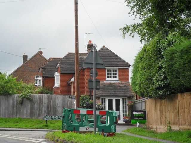
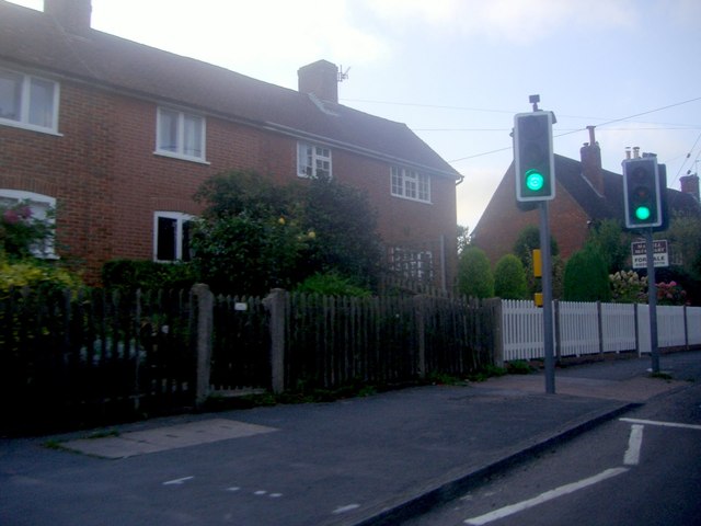
Ann Wood is a picturesque forest located in Sussex, England. Covering an area of approximately 500 acres, it is a popular destination for nature lovers and outdoor enthusiasts. The woodland is named after Ann Wood, the wife of the original landowner who lived in the area during the 18th century.
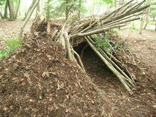
The forest is characterized by its dense canopy of towering trees, primarily consisting of oak, beech, and birch. These trees provide a serene and calming atmosphere, making it an ideal location for peaceful walks and exploration. The forest floor is covered in a thick layer of moss and ferns, creating a lush and vibrant undergrowth.
Ann Wood is home to a diverse range of wildlife, including deer, foxes, badgers, and a variety of bird species. Birdwatchers are often drawn to the area due to the abundance of species that can be spotted, such as woodpeckers, owls, and various songbirds.
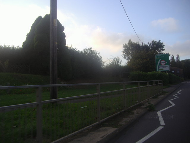
The forest is crisscrossed by a network of well-maintained trails and footpaths, allowing visitors to easily navigate and explore the area. These paths lead to scenic viewpoints and hidden gems within the forest, including tranquil ponds and ancient trees.
In addition to its natural beauty, Ann Wood offers various recreational activities for visitors. Picnic areas and designated camping spots are available for those who wish to spend more time in the forest. Additionally, guided nature walks and educational programs are organized by local conservation groups to promote awareness and appreciation for the forest's biodiversity.
Overall, Ann Wood in Sussex is a captivating destination that showcases the beauty of nature, providing a peaceful retreat for individuals seeking solace in the great outdoors.
If you have any feedback on the listing, please let us know in the comments section below.
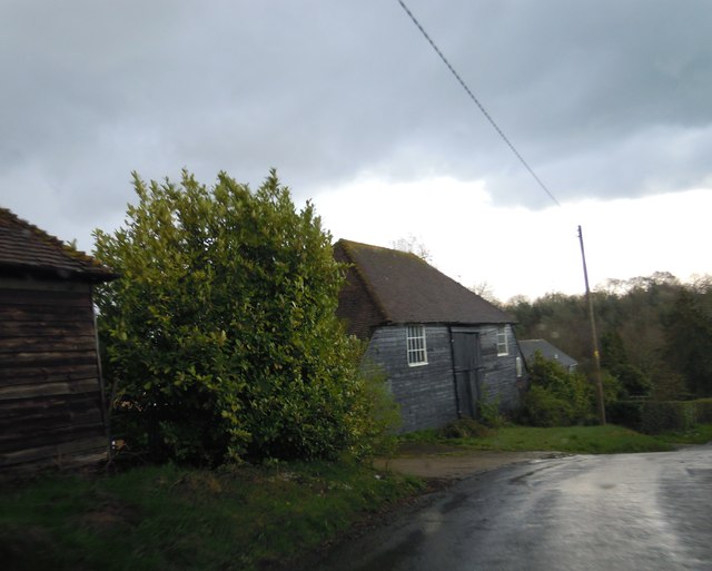
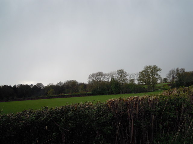
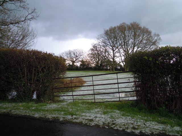
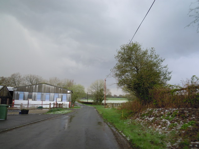
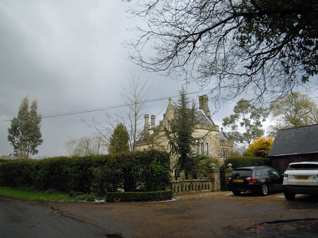
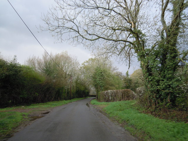
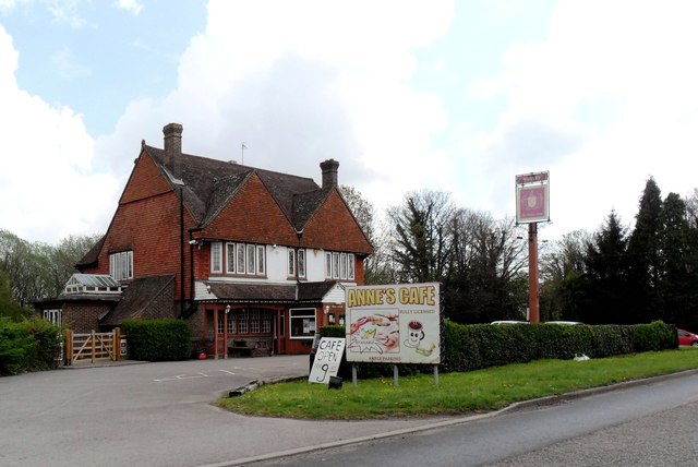
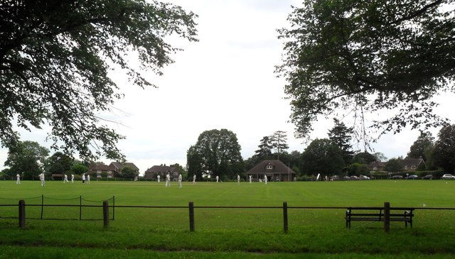
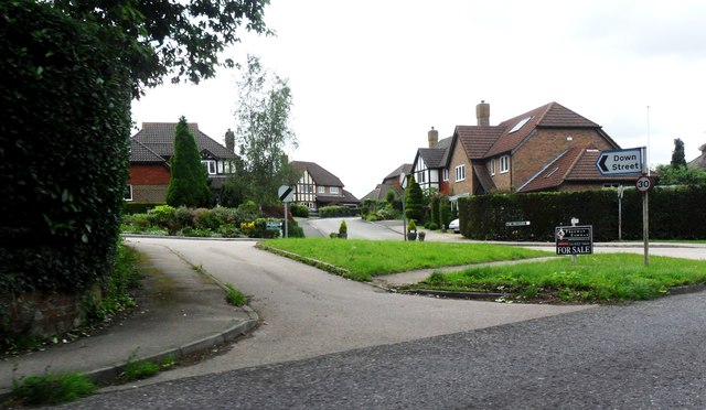
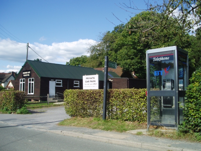
Ann Wood Images
Images are sourced within 2km of 51.029589/0.032651525 or Grid Reference TQ4227. Thanks to Geograph Open Source API. All images are credited.

Ann Wood is located at Grid Ref: TQ4227 (Lat: 51.029589, Lng: 0.032651525)
Administrative County: East Sussex
District: Wealden
Police Authority: Sussex
What 3 Words
///rifled.sticky.highlighted. Near Horsted Keynes, West Sussex
Nearby Locations
Related Wikis

Nutley, East Sussex
Nutley is a village in the Wealden District of East Sussex, England. It lies about 5 mi (8.0 km) north-west of Uckfield, the main road being the A22. Nutley...
Chelwood Gate
Chelwood Gate is a small village within the civil parish of Danehill in the Wealden district of East Sussex, England. Its nearest town is Uckfield, which...

Furner's Green
Furner's Green is a hamlet in the civil parish of Danehill in East Sussex, England. == Geography == Furner's Green lies on the Greenwich Meridian about...

Danehill, East Sussex
Danehill is a village in East Sussex, England. == Religious sites == There are two Anglican churches in the parish: one at Danehill (dedicated to All Saints...
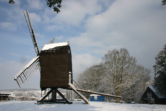
Nutley Windmill
Nutley Windmill is a grade II* listed open trestle post mill at Nutley, East Sussex, England which has been restored to working order. == History == Nutley...

Isaac Roberts' Observatory
Isaac Roberts' Observatory was an observatory, installed in the private home of the British astronomer Isaac Roberts. It was in Crowborough, Sussex, and...

Birch Grove
Birch Grove, Horsted Keynes, West Sussex, England is a country house dating from 1926. It was the family home of the British prime minister Harold Macmillan...
Byline Festival
The Byline Festival is a festival whose aim is to promote independent journalism and free speech. The festival was founded by Stephen Colegrave and Peter...
Nearby Amenities
Located within 500m of 51.029589,0.032651525Have you been to Ann Wood?
Leave your review of Ann Wood below (or comments, questions and feedback).