Furzefield Wood

Wood, Forest in Sussex Wealden

England

Furzefield Wood

Ketche's Lane
Ketche's Lane Credit: N Chadwick

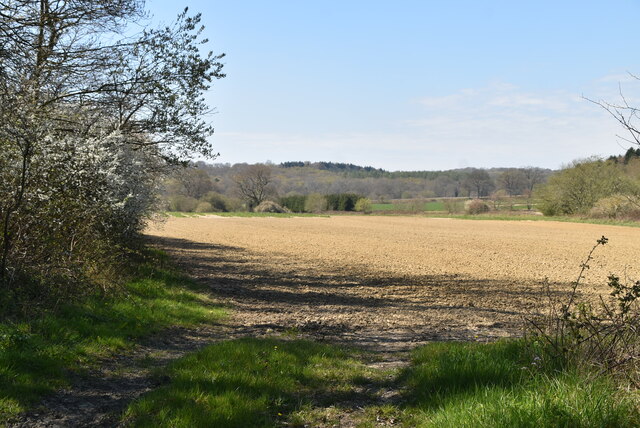
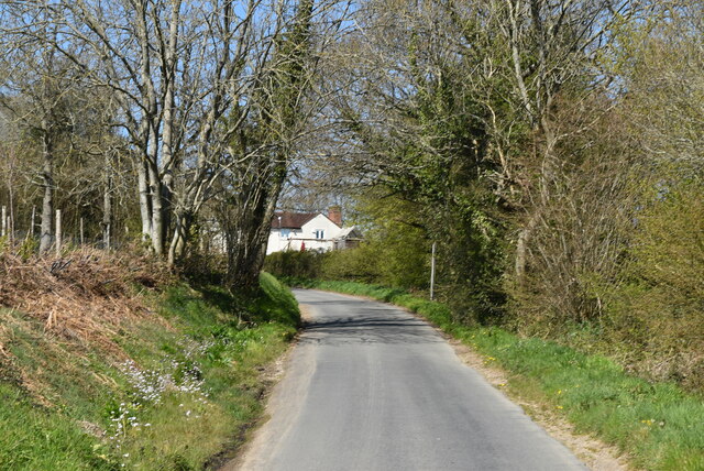
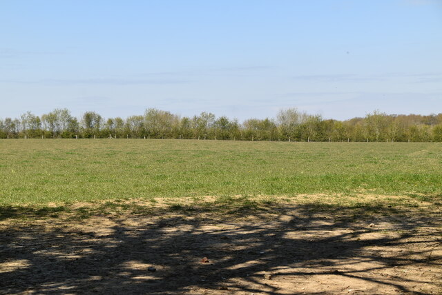
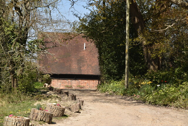
Furzefield Wood is a picturesque woodland located in the county of Sussex, England. Covering an area of approximately 100 acres, it is nestled within the South Downs National Park, renowned for its natural beauty and diverse wildlife.

This ancient woodland boasts a rich history dating back centuries. It is believed to have been used by the Romans for timber and has been mentioned in historical records since the 12th century. The wood is named after the abundance of furze bushes, also known as gorse, which bloom with vibrant yellow flowers in the spring, adding a splash of color to the landscape.

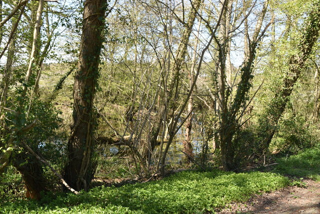
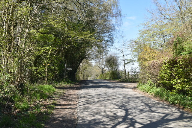
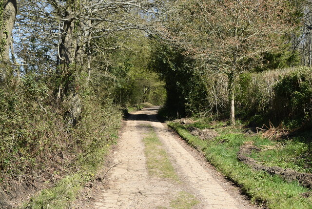
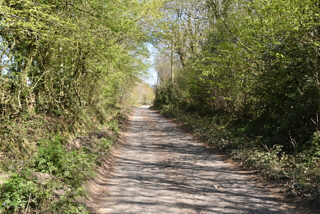
The woodland is primarily composed of native broadleaf trees such as oak, beech, and ash, creating a tranquil and shady environment. The thick canopy provided by these trees allows for a diverse undergrowth, supporting a wide range of flora and fauna.

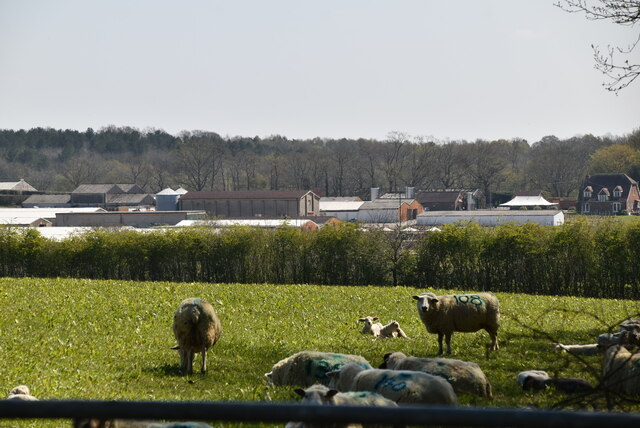
Walking through Furzefield Wood, visitors can expect to encounter a variety of wildlife. The wood is home to numerous bird species, including great spotted woodpeckers, tawny owls, and tree creepers. It is also a habitat for small mammals such as squirrels, badgers, and foxes.

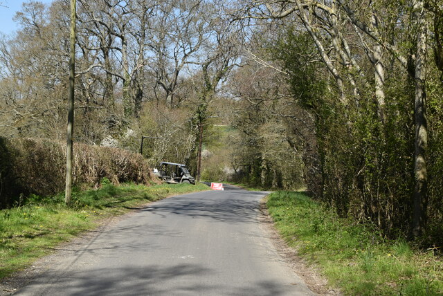
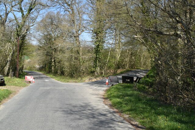
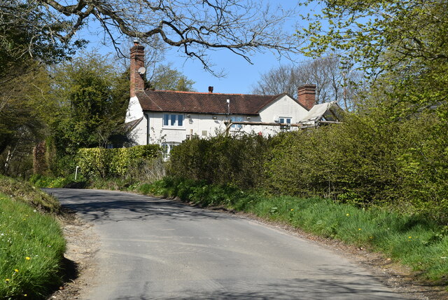
The woodland offers several walking trails, allowing visitors to explore its beauty at their own pace. These paths wind through the trees, offering glimpses of wildflowers, moss-covered rocks, and trickling streams. It is a popular spot for nature enthusiasts, hikers, and families looking to immerse themselves in the peacefulness of nature.

Overall, Furzefield Wood provides a unique and serene experience for those seeking a connection with nature and a glimpse into the rich history of Sussex.

If you have any feedback on the listing, please let us know in the comments section below.

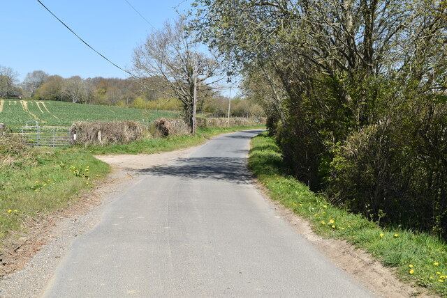
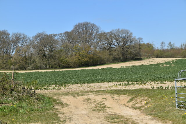
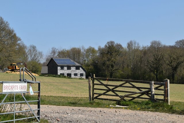
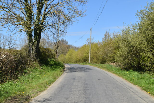
Furzefield Wood Images

Images are sourced within 2km of 51.014454/0.006084583 or Grid Reference TQ4025. Thanks to Geograph Open Source API. All images are credited.

Ketche's Lane
Ketche's Lane
Ketche's Lane, Sliders Lane junction
Woodland pond
Woodland pond
Ploughed field
Ploughed field
Ketche's Lane
Ketche's Lane
Arable field by Ketche's Lane
Brickpits Farm
Brickpits Farm
Ketche's Lane
Ketche's Lane
Ketche's Lane
Ketche's Lane
Kingswood Cottage
Kingswood Cottage
Kingswood Cottage
Kingswood Cottage
Ketche's Lane
Ketche's Lane
Sussex Border Path The Sussex Border Path is a footpath route nearly 150 miles long around the inland boundary of the county of Sussex. The county owes its origins to the kingdom of the South Saxons and can claim to have one of the longest inland county boundaries from Emsworth to Rye. The route was devised in 1983 and is well signed along most of the route. Website <span class="nowrap"><a title="http://www.sussexborderpath.co.uk/" rel="nofollow ugc noopener" href="http://www.sussexborderpath.co.uk/">Link</a><img style="margin-left:2px;" alt="External link" title="External link - shift click to open in new window" src="https://s1.geograph.org.uk/img/external.png" width="10" height="10"/></span> 
Map: <a title="https://www.geograph.org.uk/search.php?i=40140109&page=1&displayclass=map#i=40140109&page=1&displayclass=map&zoom=2&lat=51.03263&lon=-0.05427&layers=FTTB00000000000T" href="https://www.geograph.org.uk/search.php?i=40140109&page=1&displayclass=map#i=40140109&page=1&displayclass=map&zoom=2&lat=51.03263&lon=-0.05427&layers=FTTB00000000000T">Link</a>
Sussex Border Path
The Sussex Border Path is a footpath route nearly 150 miles long around the inland boundary of the county of Sussex. The county owes its origins to the kingdom of the South Saxons and can claim to have one of the longest inland county boundaries from Emsworth to Rye. The route was devised in 1983 and is well signed along most of the route. Website LinkExternal link Map: Link
Farmland by Sussex Border Path
Sheep grazing
Sheep grazing
Pond, Northland Farm
Northlands Farm
Northlands Farm
Show me another place!

Furzefield Wood is located at Grid Ref: TQ4025 (Lat: 51.014454, Lng: 0.006084583)

Administrative County: East Sussex

District: Wealden

Police Authority: Sussex

What 3 Words

///abode.shackles.plump. Near Horsted Keynes, West Sussex

Related Wikis

Furner's Green

Furner's Green is a hamlet in the civil parish of Danehill in East Sussex, England. == Geography == Furner's Green lies on the Greenwich Meridian about...

Sussex

Sussex (; from the Old English Sūþsēaxe; lit. 'South Saxons') is a historic county in South East England that is bounded to the west by Hampshire, north...

Sussex Wildlife Trust

The Sussex Wildlife Trust (SWT) is a conservation charity which aims to protect natural life in Sussex. It was founded in 1961 and is one of 46 wildlife...

Sheffield Park and Garden

Sheffield Park and Garden is an informal landscape garden five miles east of Haywards Heath, in East Sussex, England. It was originally laid out in the...

Danehill, East Sussex

Danehill is a village in East Sussex, England. == Religious sites == There are two Anglican churches in the parish: one at Danehill (dedicated to All Saints...

Sheffield Park railway station

Sheffield Park is the southern terminus of the Bluebell Railway and also the headquarters of the line. It is located on the southern bank of the River...

Sheffield Park cricket ground

Sheffield Park is a cricket ground at the Sheffield Park estate, located near Uckfield, East Sussex, England. From 1881 to 1896 it was the home ground...

Freshfield Lane

Freshfield Lane is a 17-hectare (42-acre) geological Site of Special Scientific Interest east of Haywards Heath in West Sussex. It is a Geological Conservation...

Nearby Amenities

Located within 500m of 51.014454,0.006084583
Telephone
Booth: K6
Covered: booth
Operator: BT
Lat/Long: 51.0144779/0.0079819
Post Box
Brand: Royal Mail
Brand Wikidata: Q638098
Brand Wikipedia: en:Royal Mail
Operator: Royal Mail
Operator Wikidata: Q638098
Post Box Type: lamp
Ref: TN22 28
Royal Cypher: EIIR
Royal Cypher Wikidata: Q33102113
Lat/Long: 51.0172585/0.0076735
Furner's Green
Place: hamlet
Source: OS_OpenData_Streetview
Wikidata: Q5509638
Lat/Long: 51.0177437/0.0065339
Colour: yellow
Marker: yes
Material: concrete
Utility: gas
Lat/Long: 51.0123333/0.0084076
The data included in this document is from www.openstreetmap.org. The data is made available under ODbL.

Have you been to Furzefield Wood?

Leave your review of Furzefield Wood below (or comments, questions and feedback).