Circle Wood
Wood, Forest in Sussex Wealden
England
Circle Wood
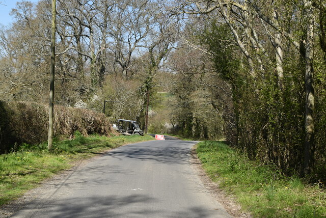
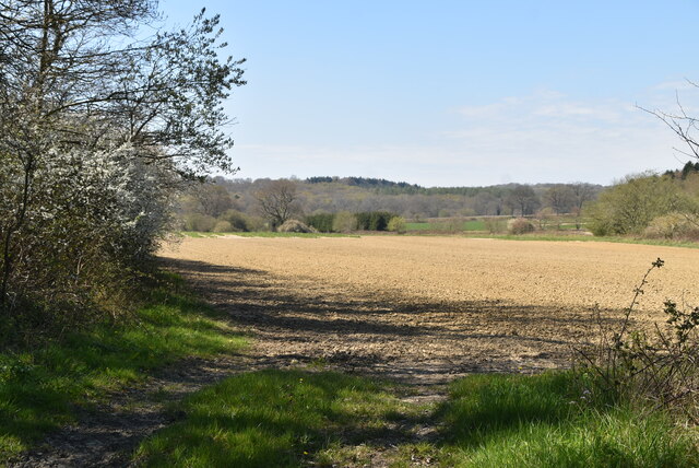
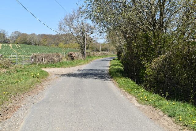
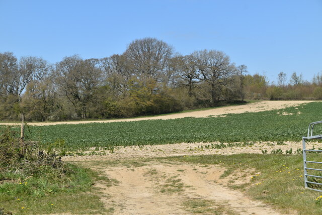
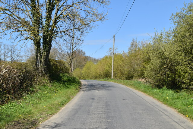
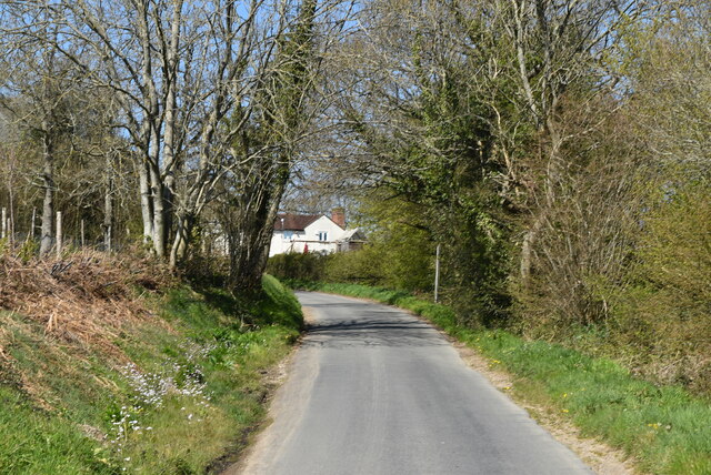
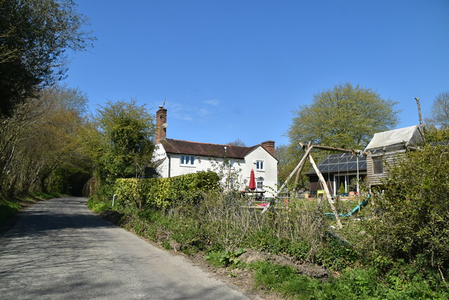
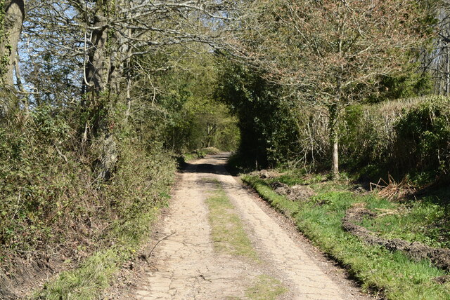
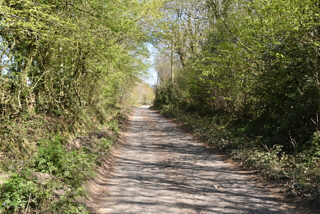
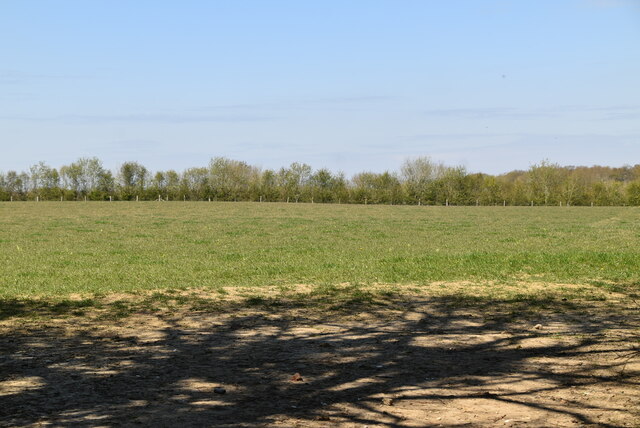
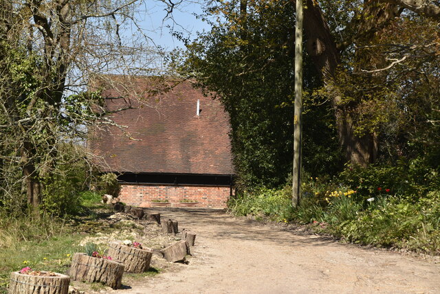
Circle Wood is a picturesque forest located in Sussex, England. Nestled amidst rolling hills and lush greenery, it covers an expansive area of land that is home to diverse species of flora and fauna. The wood is known for its circular shape, which adds to its unique charm and attracts nature enthusiasts from far and wide.
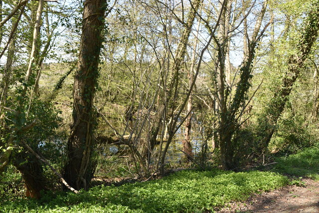
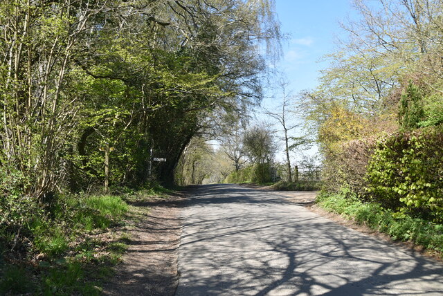
The forest is predominantly made up of deciduous trees, such as oak, beech, and ash, which create a stunning canopy of foliage during the warmer months. This dense vegetation provides a habitat for a wide range of wildlife, including squirrels, deer, and various species of birds. Walking through Circle Wood, visitors can immerse themselves in the peaceful ambiance and embrace the serenity of nature.
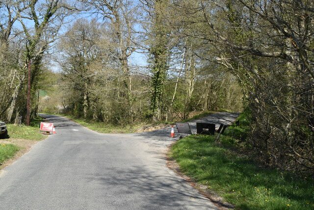
There are several well-maintained trails that crisscross the forest, providing opportunities for leisurely strolls and invigorating hikes. These paths lead to captivating viewpoints, offering breathtaking vistas of the surrounding countryside. Moreover, the wood is equipped with picnic areas and benches, allowing visitors to relax and enjoy the tranquility of the surroundings.
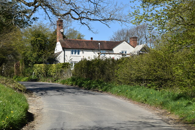
Circle Wood also boasts a rich history, with evidence of human occupation dating back centuries. Archeological finds have uncovered remnants of ancient settlements and burial sites, providing insight into the lives of those who once called this forest home. Additionally, the wood has been designated as a protected area, ensuring its preservation for future generations to enjoy.
Overall, Circle Wood in Sussex is a captivating destination that offers a harmonious blend of natural beauty, wildlife, and historical significance. It is a haven for those seeking solace in nature and a testament to the enduring allure of England's countryside.
If you have any feedback on the listing, please let us know in the comments section below.
Circle Wood Images
Images are sourced within 2km of 51.007251/0.000827361 or Grid Reference TQ4025. Thanks to Geograph Open Source API. All images are credited.

Circle Wood is located at Grid Ref: TQ4025 (Lat: 51.007251, Lng: 0.000827361)
Administrative County: East Sussex
District: Wealden
Police Authority: Sussex
What 3 Words
///unlimited.mime.vent. Near Newick, East Sussex
Nearby Locations
Related Wikis

Sussex
Sussex (; from the Old English Sūþsēaxe; lit. 'South Saxons') is a historic county in South East England that is bounded to the west by Hampshire, north...

Sussex Wildlife Trust
The Sussex Wildlife Trust (SWT) is a conservation charity which aims to protect natural life in Sussex. It was founded in 1961 and is one of 46 wildlife...

Furner's Green
Furner's Green is a hamlet in the civil parish of Danehill in East Sussex, England. == Geography == Furner's Green lies on the Greenwich Meridian about...

Sheffield Park and Garden
Sheffield Park and Garden is an informal landscape garden five miles east of Haywards Heath, in East Sussex, England. It was originally laid out in the...

Sheffield Park railway station
Sheffield Park is the southern terminus of the Bluebell Railway and also the headquarters of the line. It is located on the southern bank of the River...

Sheffield Park cricket ground
Sheffield Park is a cricket ground at the Sheffield Park estate, located near Uckfield, East Sussex, England. From 1881 to 1896 it was the home ground...

Danehill, East Sussex
Danehill is a village in East Sussex, England. == Religious sites == There are two Anglican churches in the parish: one at Danehill (dedicated to All Saints...

Freshfield Lane
Freshfield Lane is a 17-hectare (42-acre) geological Site of Special Scientific Interest east of Haywards Heath in West Sussex. It is a Geological Conservation...
Related Videos

riding the waves of nature
nature #photography #naturephotography #love #travel #photooftheday #instagood #beautiful #picoftheday #photo #instagram ...

Kwentuhan while walking
Ang ganda ng tanawin at very relaxing walked .


Nearby Amenities
Located within 500m of 51.007251,0.000827361Have you been to Circle Wood?
Leave your review of Circle Wood below (or comments, questions and feedback).