Pound Wood
Wood, Forest in Sussex Wealden
England
Pound Wood
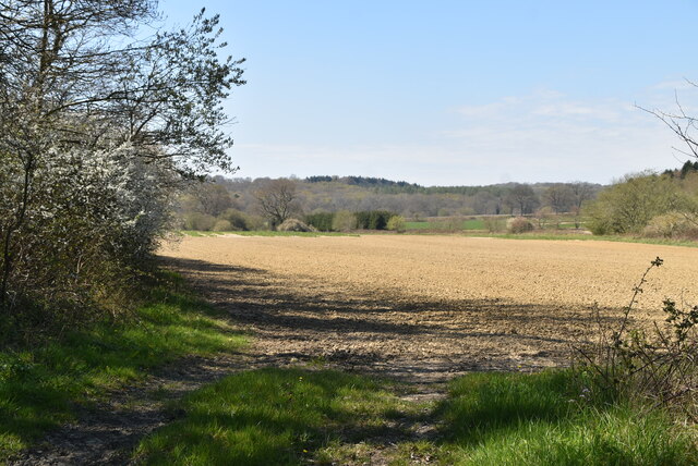
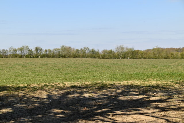
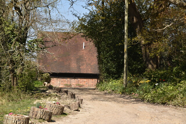
Pound Wood is a stunning forest located in Sussex, England. Covering an area of approximately 300 acres, this woodland is a haven for nature enthusiasts and outdoor lovers alike. The wood is situated near the village of Forest Row and is easily accessible by foot or car.
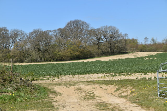
Pound Wood boasts a diverse range of flora and fauna, making it a thriving ecosystem. The woodland is primarily composed of oak and ash trees, which create a dense canopy and provide shelter for a variety of bird species. Visitors can spot woodpeckers, owls, and other woodland birds as they explore the trails.
The forest floor is covered in a lush carpet of ferns, bluebells, and wildflowers, adding to the enchanting atmosphere of the wood. In springtime, the woodland is transformed into a sea of vibrant colors, as the bluebells bloom in abundance.
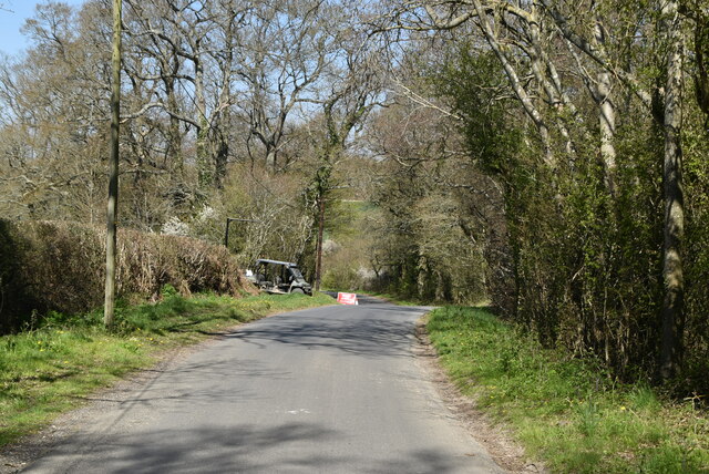
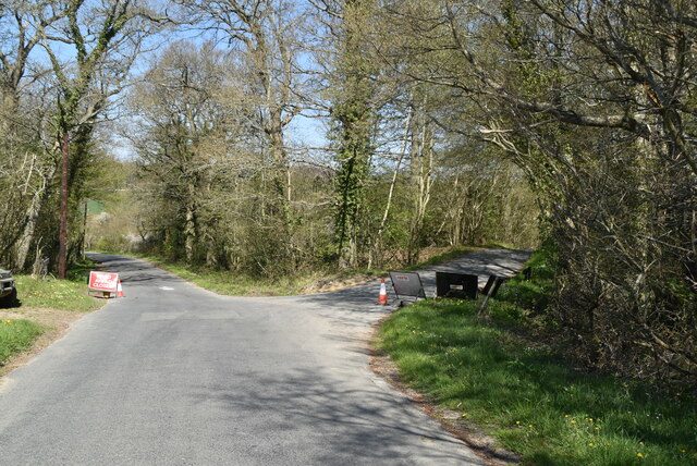
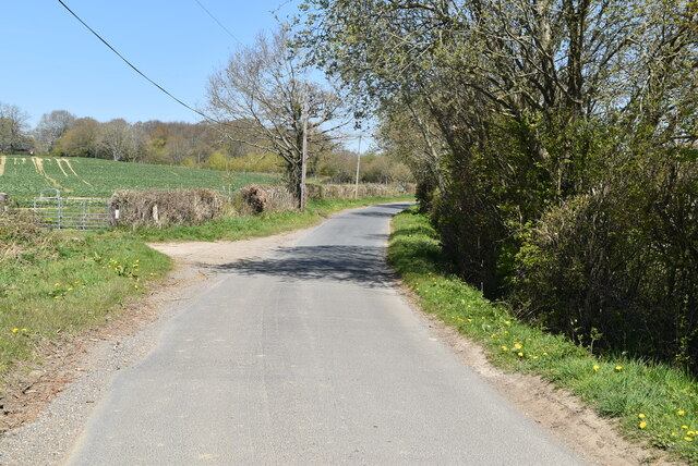
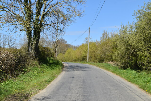
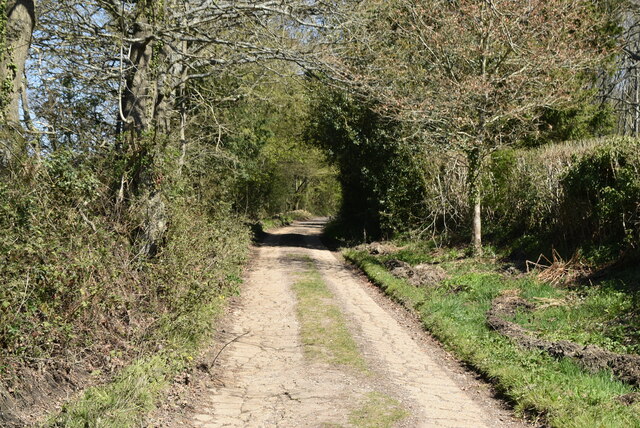
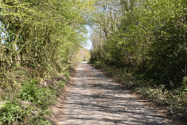
There are several well-maintained footpaths that wind through Pound Wood, offering visitors the opportunity to walk, jog, or cycle amidst the serene surroundings. The trails are suitable for all ages and fitness levels, making it an ideal destination for families and individuals seeking a peaceful retreat.
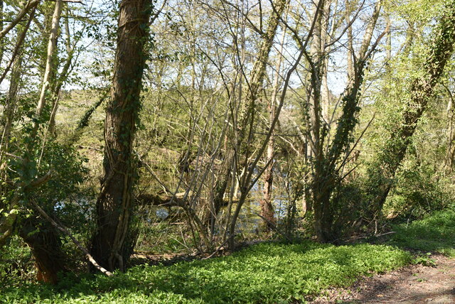
Pound Wood is also home to a small pond, which provides a habitat for various aquatic creatures. Visitors can observe dragonflies skimming the water's surface or catch a glimpse of newts and frogs in their natural habitat.
Overall, Pound Wood is a picturesque forest that offers a tranquil escape from the hustle and bustle of everyday life. With its diverse wildlife, beautiful flora, and well-kept trails, it is a must-visit destination for nature lovers seeking to immerse themselves in the beauty of Sussex's woodlands.
If you have any feedback on the listing, please let us know in the comments section below.
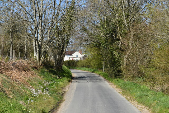
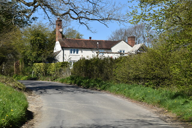
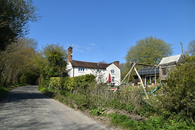
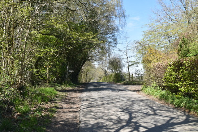
Pound Wood Images
Images are sourced within 2km of 51.010089/-4.84E-05 or Grid Reference TQ4025. Thanks to Geograph Open Source API. All images are credited.

Pound Wood is located at Grid Ref: TQ4025 (Lat: 51.010089, Lng: -4.84E-05)
Administrative County: East Sussex
District: Wealden
Police Authority: Sussex
What 3 Words
///multiply.height.opposite. Near Horsted Keynes, West Sussex
Nearby Locations
Related Wikis

Furner's Green
Furner's Green is a hamlet in the civil parish of Danehill in East Sussex, England. == Geography == Furner's Green lies on the Greenwich Meridian about...

Sussex
Sussex (; from the Old English Sūþsēaxe; lit. 'South Saxons') is a historic county in South East England that is bounded to the west by Hampshire, north...

Sussex Wildlife Trust
The Sussex Wildlife Trust (SWT) is a conservation charity which aims to protect natural life in Sussex. It was founded in 1961 and is one of 46 wildlife...

Sheffield Park and Garden
Sheffield Park and Garden is an informal landscape garden five miles east of Haywards Heath, in East Sussex, England. It was originally laid out in the...

Sheffield Park railway station
Sheffield Park is the southern terminus of the Bluebell Railway and also the headquarters of the line. It is located on the southern bank of the River...

Sheffield Park cricket ground
Sheffield Park is a cricket ground at the Sheffield Park estate, located near Uckfield, East Sussex, England. From 1881 to 1896 it was the home ground...

Danehill, East Sussex
Danehill is a village in East Sussex, England. == Religious sites == There are two Anglican churches in the parish: one at Danehill (dedicated to All Saints...

Freshfield Lane
Freshfield Lane is a 17-hectare (42-acre) geological Site of Special Scientific Interest east of Haywards Heath in West Sussex. It is a Geological Conservation...
Have you been to Pound Wood?
Leave your review of Pound Wood below (or comments, questions and feedback).