Jerry Reddins Shaw
Wood, Forest in Kent
England
Jerry Reddins Shaw
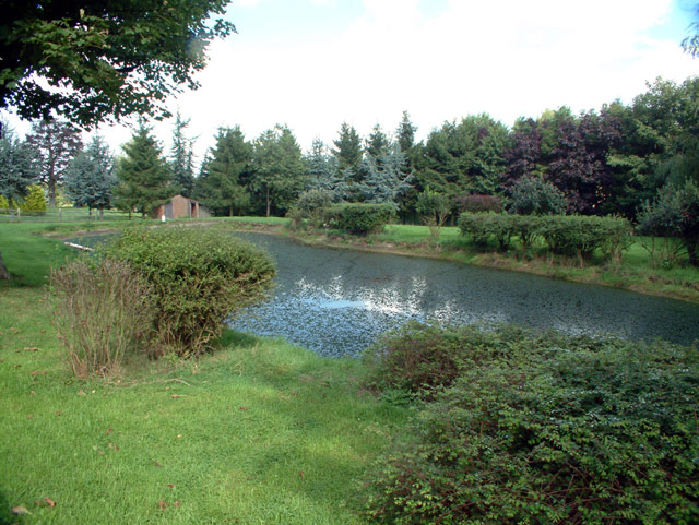
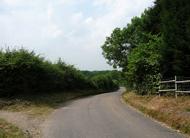
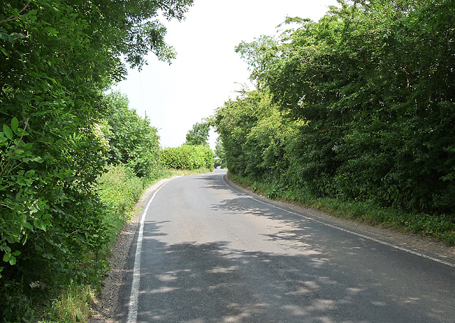
Jerry Reddins Shaw is a secluded woodland located in the county of Kent, England. Situated near the town of Wood, Forest, this charming area covers an approximate area of 200 acres. Jerry Reddins Shaw is known for its breathtaking natural beauty and is a popular destination for nature lovers and outdoor enthusiasts.
The woodland is characterized by its dense, ancient trees, including oak, beech, and ash, which create a serene and peaceful atmosphere. The forest floor is covered in a lush carpet of ferns, bluebells, and wildflowers, adding to its picturesque appeal. Visitors to Jerry Reddins Shaw can enjoy a leisurely stroll through the well-maintained footpaths that wind through the woods, providing an opportunity to immerse oneself in the tranquility of nature.
The woodland is also home to a diverse range of wildlife, making it an ideal spot for birdwatching and animal spotting. Various species of birds, such as woodpeckers, owls, and thrushes, can be observed amidst the treetops. Squirrels, rabbits, and deer are also commonly spotted in the area, adding to the charm and natural allure of Jerry Reddins Shaw.
This hidden gem in Kent offers a peaceful retreat from the hustle and bustle of daily life, providing visitors with a chance to reconnect with nature. Whether it's a leisurely walk, a picnic amidst the trees, or simply basking in the serenity of the surroundings, Jerry Reddins Shaw offers an idyllic escape for those seeking solace in the beauty of the natural world.
If you have any feedback on the listing, please let us know in the comments section below.
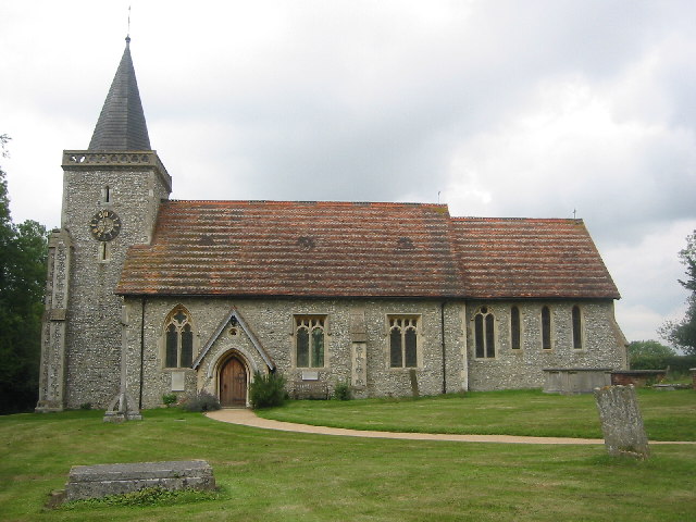
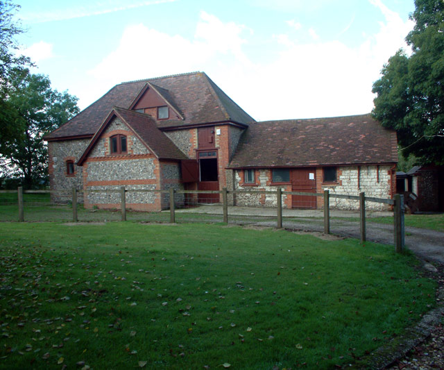
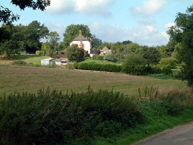
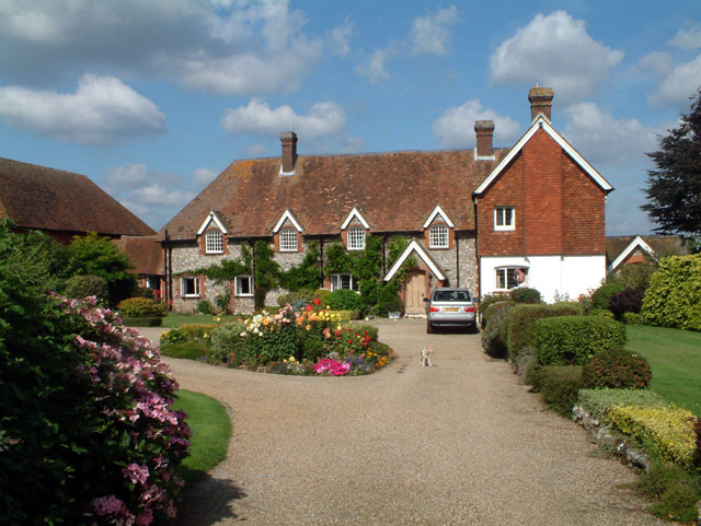
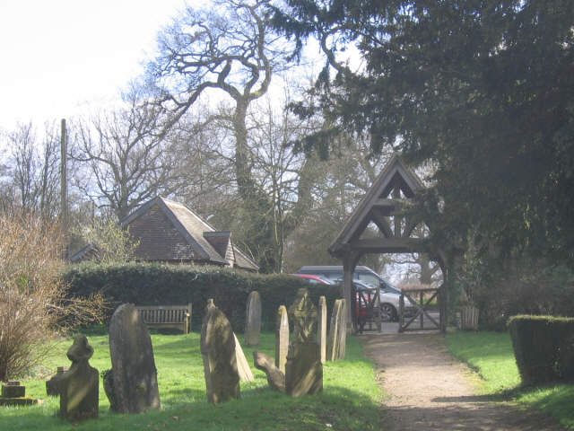
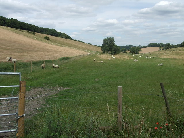
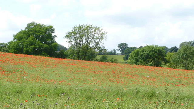
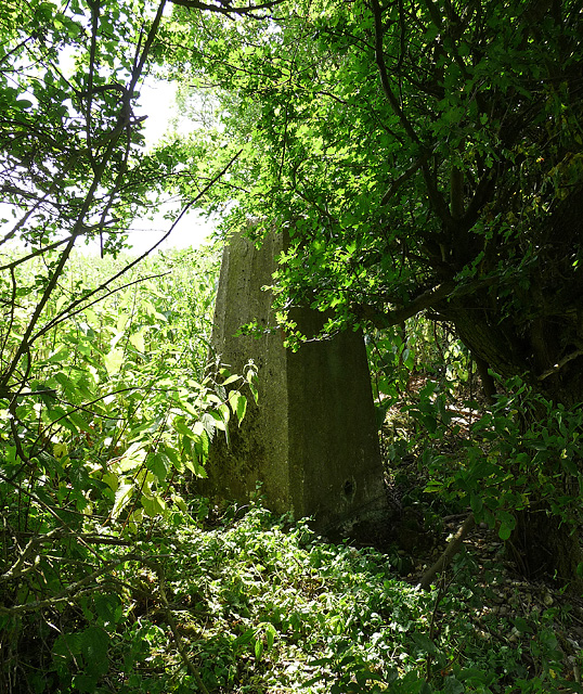
Jerry Reddins Shaw Images
Images are sourced within 2km of 51.309104/0.014030338 or Grid Reference TQ4058. Thanks to Geograph Open Source API. All images are credited.


Jerry Reddins Shaw is located at Grid Ref: TQ4058 (Lat: 51.309104, Lng: 0.014030338)
Unitary Authority: Bromley
Police Authority: Metropolitan
What 3 Words
///hooks.knee.modes. Near Biggin Hill, London
Nearby Locations
Related Wikis

Biggin Hill
Biggin Hill is a town in South East London, England, within the London Borough of Bromley. It is situated beyond London's contiguous built-up area in the...

Tatsfield
Tatsfield is a village and civil parish in the Tandridge District of Surrey, England. It is located 3.3 miles north west of Westerham and 3.9 miles north...

Saltbox Hill
Saltbox Hill is a 22.2 biological Site of Special Scientific Interest in three separate areas in Biggin Hill in the London Borough of Bromley. One area...

Tatsfield Receiving Station
The Tatsfield Receiving Station – known formally as the BBC Engineering Measurement and Receiving Station – was a radio broadcasting signals-receiving...

Aperfield
Aperfield is a hamlet and area in London, England, within the London Borough of Bromley, 16.2 miles (26 km) south-southeast of Charing Cross, and outside...

Charles Darwin School
Charles Darwin School is the only secondary school in the Biggin Hill area of the London Borough of Bromley, England. The school consists of 1,320 secondary...

Chelsham
Chelsham is a village and former civil parish, now in the parish of Chelsham and Farleigh and the Tandridge district of Surrey, England. It is located...
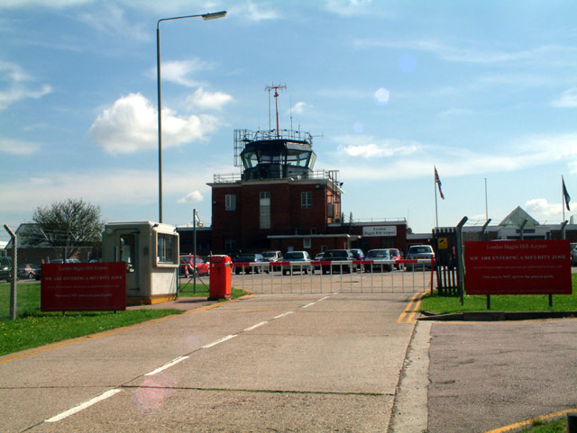
London Biggin Hill Airport
London Biggin Hill Airport (IATA: BQH, ICAO: EGKB) is the main international airport serving Biggin Hill in the London Borough of Bromley, located 12 NM...
Nearby Amenities
Located within 500m of 51.309104,0.014030338Have you been to Jerry Reddins Shaw?
Leave your review of Jerry Reddins Shaw below (or comments, questions and feedback).