Ewloe Green
Settlement in Flintshire
Wales
Ewloe Green
Ewloe Green is a small village located in the county of Flintshire, Wales. Situated just a few miles from the town of Hawarden, Ewloe Green is a quiet and picturesque residential area surrounded by lush greenery and open spaces.
The village is known for its charming mix of traditional and modern architecture, with a variety of housing styles ranging from quaint cottages to contemporary family homes. Ewloe Green is a popular choice for families and young professionals looking for a peaceful and community-oriented place to live.
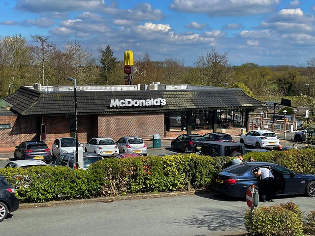
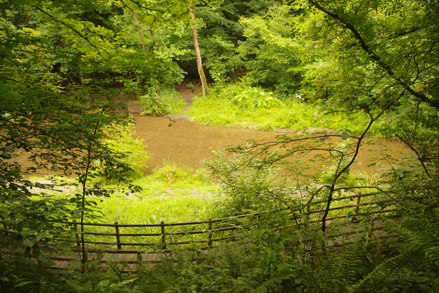
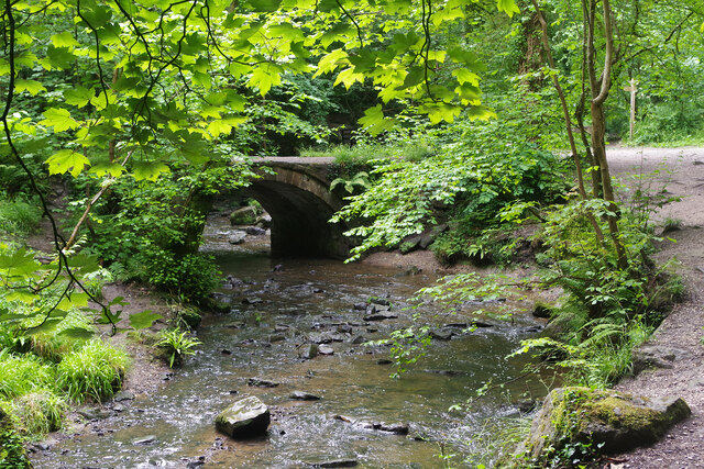
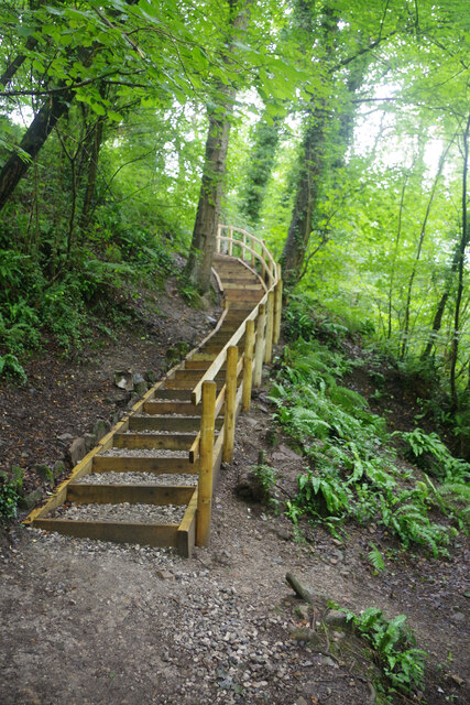
The village is well-served by local amenities, including a primary school, a community center, and several shops and restaurants. There are also plenty of outdoor recreational opportunities in the area, with several parks and nature reserves nearby for residents to enjoy.
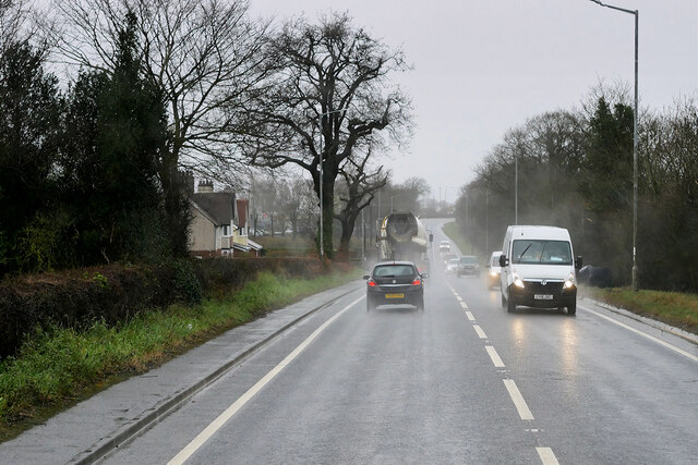
Ewloe Green is conveniently located near major road networks, making it easy to access nearby towns and cities such as Chester and Wrexham. The village also benefits from excellent public transport links, with regular bus services connecting residents to surrounding areas. Overall, Ewloe Green offers a tranquil and welcoming environment for those seeking a relaxed and family-friendly place to call home.
If you have any feedback on the listing, please let us know in the comments section below.
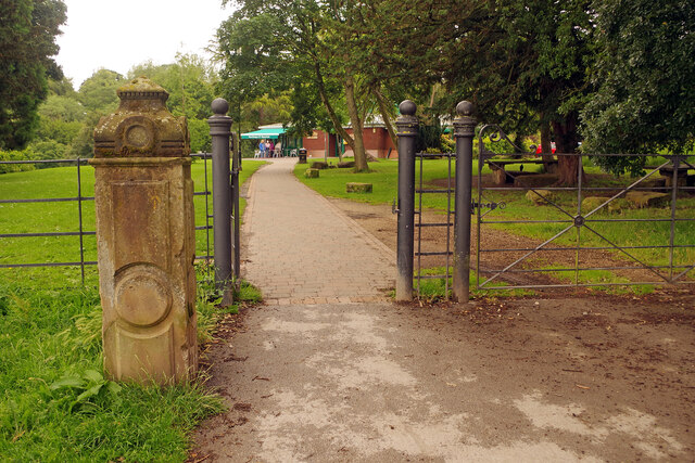
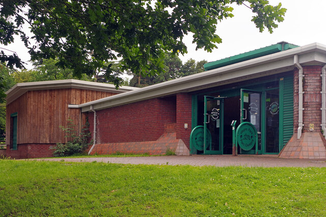
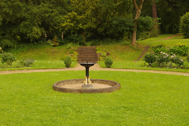
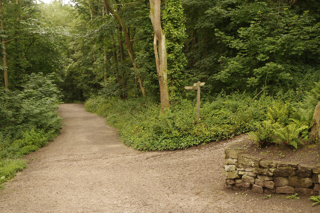
Ewloe Green Images
Images are sourced within 2km of 53.190426/-3.067554 or Grid Reference SJ2866. Thanks to Geograph Open Source API. All images are credited.


Ewloe Green is located at Grid Ref: SJ2866 (Lat: 53.190426, Lng: -3.067554)
Unitary Authority: Flintshire
Police Authority: North Wales
What 3 Words
///frostbite.minute.blubber. Near Deeside, Flintshire
Nearby Locations
Related Wikis
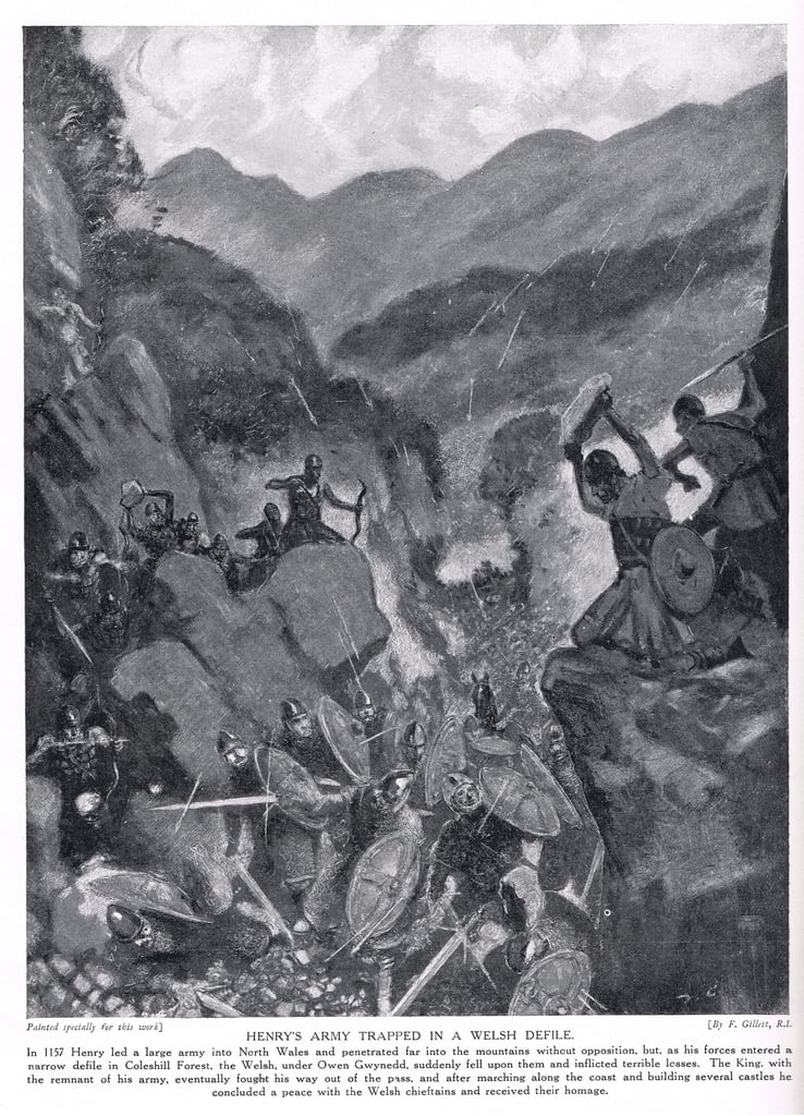
Battle of Ewloe
The Battle of Ewloe (also known as the Battle of Coleshill, or Counsylth, or Coleshille, or Cennadlog) was a battle fought in July 1157 between the army...

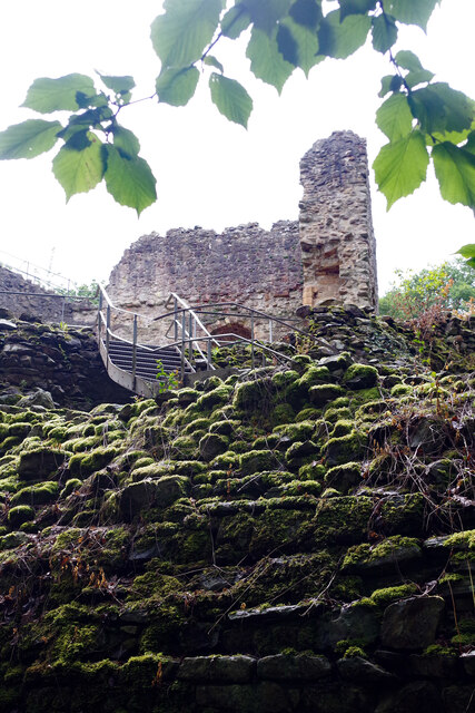
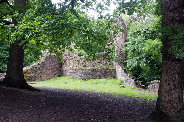
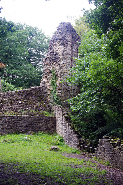
Ewloe Castle
Ewloe Castle (Welsh: Castell Ewlo) is a native Welsh castle built by the Kingdom of Gwynedd near the town of Ewloe in Flintshire, Wales. The castle, which...

Buckley Claypits and Commons
Buckley Claypits and Commons is a Site of Special Scientific Interest in the preserved county of Clwyd, north Wales. It is an important reserve for the...
Buckley Town F.C.
Buckley Town Football Club (Welsh: Clwb Pêl-Droed Tref Bwcle) is a Welsh football team based in Buckley, Flintshire, Wales. They currently play in the...
Nearby Amenities
Located within 500m of 53.190426,-3.067554Have you been to Ewloe Green?
Leave your review of Ewloe Green below (or comments, questions and feedback).