Ewloebarn Wood
Wood, Forest in Flintshire
Wales
Ewloebarn Wood
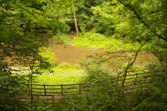
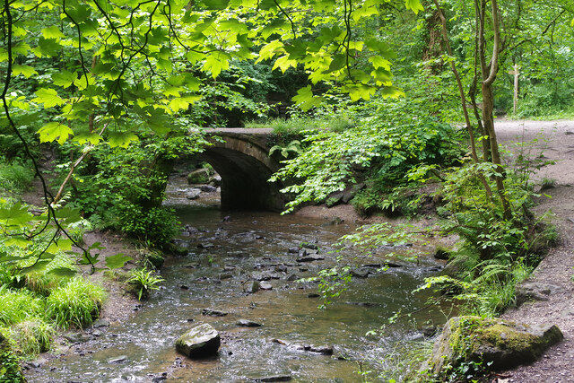
Ewloebarn Wood is a picturesque woodland located in Flintshire, Wales. Covering an area of approximately 50 hectares, it is a designated Site of Special Scientific Interest (SSSI) due to its diverse range of habitats and rich biodiversity.
The wood is predominantly composed of broadleaf trees, including oak, birch, and beech, which create a dense canopy providing shelter for numerous bird species. This makes Ewloebarn Wood a popular spot for birdwatching enthusiasts who can spot species such as woodpeckers, owls, and warblers.
The forest floor of Ewloebarn Wood is adorned with a carpet of bluebells during the spring months, creating a breathtaking sight and attracting visitors from far and wide. In addition to bluebells, the wood is also home to a variety of wildflowers, including primroses, foxgloves, and wild garlic, which add bursts of color to the woodland landscape.
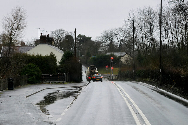
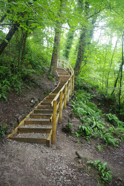
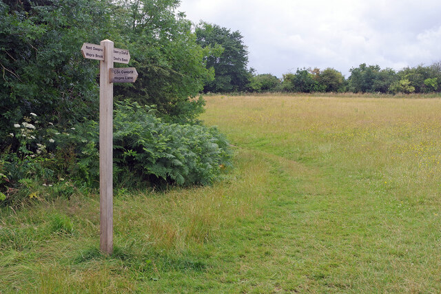
The wood is crisscrossed by a network of footpaths and trails, allowing visitors to explore its natural beauty and enjoy peaceful walks in a tranquil setting. There are also designated picnic areas where visitors can relax and soak up the peaceful ambiance.
Ewloebarn Wood is not only a haven for flora and fauna but also plays an important role in carbon capture and storage, helping to mitigate the effects of climate change. The wood is managed sustainably, ensuring the preservation of its ecological integrity for future generations to enjoy.
If you have any feedback on the listing, please let us know in the comments section below.
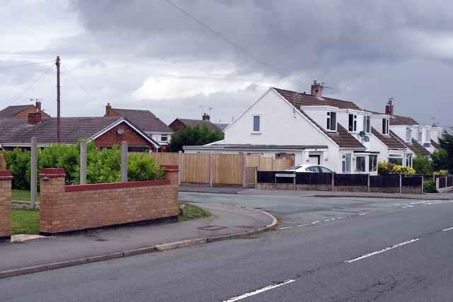
Ewloebarn Wood Images
Images are sourced within 2km of 53.192173/-3.0785543 or Grid Reference SJ2866. Thanks to Geograph Open Source API. All images are credited.


Ewloebarn Wood is located at Grid Ref: SJ2866 (Lat: 53.192173, Lng: -3.0785543)
Unitary Authority: Flintshire
Police Authority: North Wales
What 3 Words
///darkens.warned.described. Near Deeside, Flintshire
Nearby Locations
Related Wikis
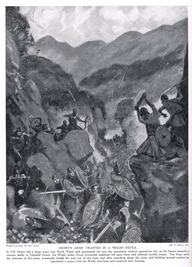
Battle of Ewloe
The Battle of Ewloe (also known as the Battle of Coleshill, or Counsylth, or Coleshille, or Cennadlog) was a battle fought in July 1157 between the army...

Northop Hall
Northop Hall (Welsh: Neuadd Llaneurgain) is a large village and community near Mold, in Flintshire, Wales. Located to the east of Northop, near the A55...

Buckley Claypits and Commons
Buckley Claypits and Commons is a Site of Special Scientific Interest in the preserved county of Clwyd, north Wales. It is an important reserve for the...

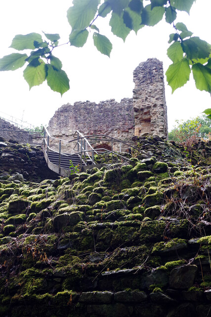
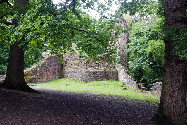
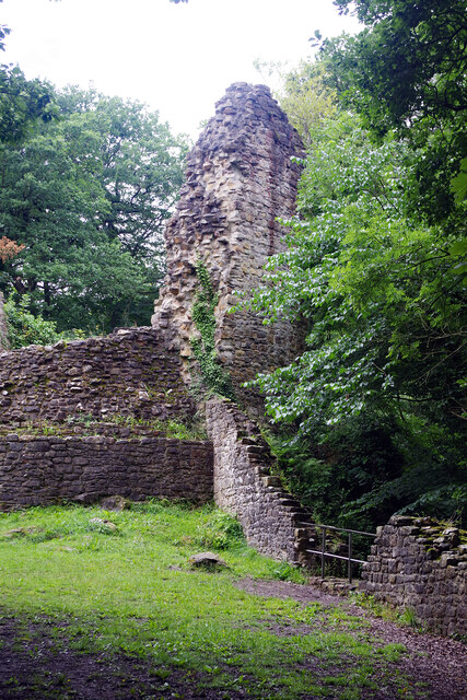
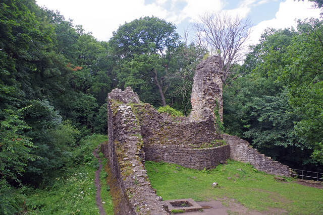
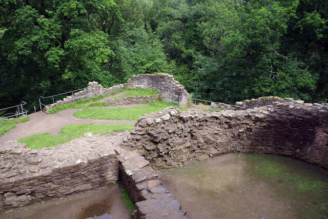
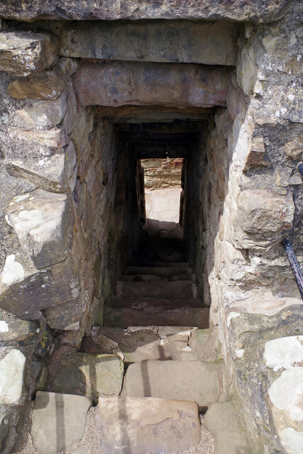
Ewloe Castle
Ewloe Castle (Welsh: Castell Ewlo) is a native Welsh castle built by the Kingdom of Gwynedd near the town of Ewloe in Flintshire, Wales. The castle, which...
St Mary's Church, Northop Hall
St Mary's Church, Northop Hall is an Anglican congregation within the Parish of Northop, Northop Hall and Sychdyn, in the Deanery of Mold and the Diocese...
Buckley Town F.C.
Buckley Town Football Club (Welsh: Clwb Pêl-Droed Tref Bwcle) is a Welsh football team based in Buckley, Flintshire, Wales. They currently play in the...

Alltami
Alltami is a small village in Flintshire, in northeast Wales northwest of Buckley and northeast of Mold. It lies on the A494 road which runs from Ellesmere...
Etna Park
Etna Park is a park near the town of Buckley.The area was a clay hole during the Industrial Revolution, and was later used as a landfill. The site has...
Related Videos

WALKING AROUND WEPRE PARK AND EWLOE CASTLE WALES | Walking Tour
Walk through Wepre Park towards Ewloe Castle. please like and subscribe! thank you! #walkthrough #wales #daytrip ...


Walking Wales Coastal Path for Conqueror Virtual English Channel Challenge Episode 1
The first episode of my Conqueror Virtual Challenges. Starting with the 21 mile English Channel Challenge. I decide to walk the ...

Wepre Park #park #wales #tourism
Wepre Park.
Nearby Amenities
Located within 500m of 53.192173,-3.0785543Have you been to Ewloebarn Wood?
Leave your review of Ewloebarn Wood below (or comments, questions and feedback).