Baddy's Wood
Wood, Forest in Denbighshire
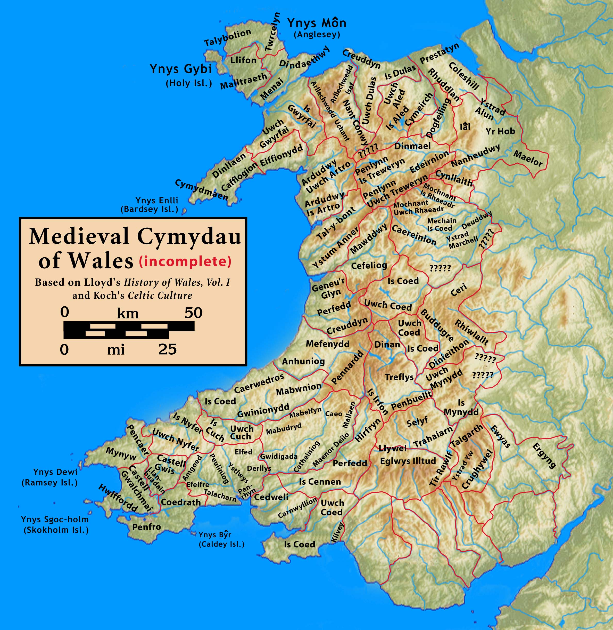
Wales
Baddy's Wood

Baddy's Wood, located in Denbighshire, is a picturesque woodland area that spans over a vast area of approximately 200 acres. Situated in the northern part of Wales, this enchanting forest offers visitors a serene and tranquil escape from the hustle and bustle of everyday life.
Baddy's Wood is renowned for its diverse range of flora and fauna, making it a haven for nature enthusiasts and wildlife lovers. The woodland boasts a rich variety of tree species, including oak, beech, and birch, creating a dense canopy that provides shelter and habitat for numerous bird species, small mammals, and insects. Visitors can expect to spot woodland birds like woodpeckers, jays, and thrushes, while lucky observers might even catch a glimpse of elusive creatures such as foxes, badgers, or deer.
The forest is crisscrossed with a network of well-maintained trails, allowing visitors to explore the woodland at their own pace. These paths wind through the ancient trees, offering breathtaking views of the surrounding countryside and the opportunity to immerse oneself in the peaceful ambiance of the woods. Along the way, there are informative signposts that provide fascinating insights into the history, ecology, and management of the woodland.
Baddy's Wood is a popular destination for outdoor activities such as hiking, birdwatching, and nature photography. The forest's natural beauty and tranquil atmosphere make it an ideal spot for a leisurely stroll or a family picnic amidst the scenic surroundings. Whether one seeks solitude or an educational experience, Baddy's Wood offers a slice of nature's tranquility that is sure to leave a lasting impression on all who visit.
If you have any feedback on the listing, please let us know in the comments section below.
Baddy's Wood Images
Images are sourced within 2km of 52.927608/-3.0719648 or Grid Reference SJ2837. Thanks to Geograph Open Source API. All images are credited.


Baddy's Wood is located at Grid Ref: SJ2837 (Lat: 52.927608, Lng: -3.0719648)
Unitary Authority: Wrexham
Police Authority: North Wales
What 3 Words
///senior.asked.limes. Near Chirk, Wrexham
Nearby Locations
Related Wikis
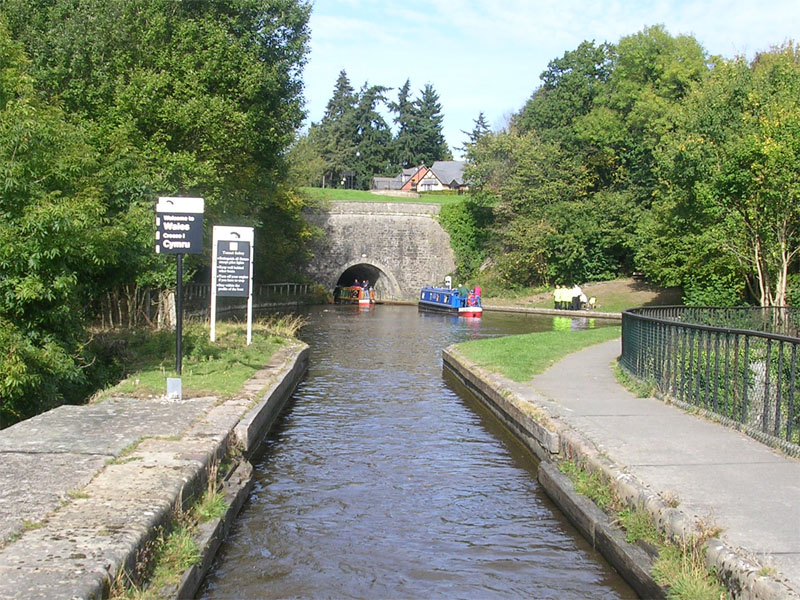
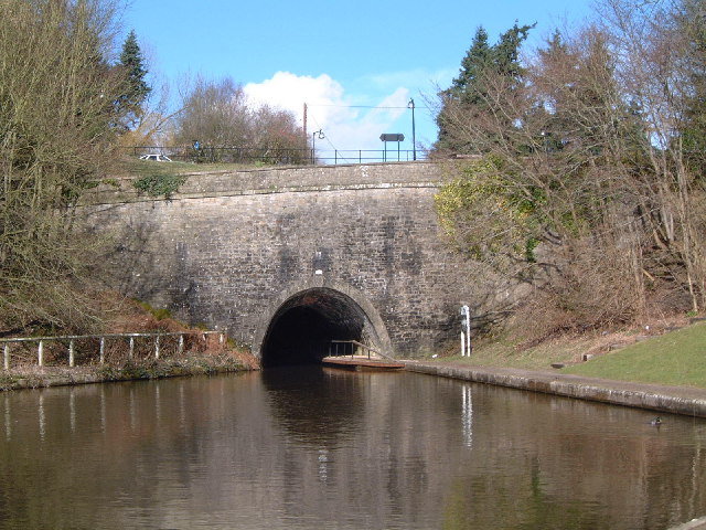
Chirk Tunnel
Chirk Tunnel is a canal tunnel near Chirk, Wales. It lies on the Llangollen Canal, immediately northwards of the Chirk Aqueduct. It is 421 metres (460...

Chirk Viaduct
The Chirk Viaduct (Welsh: Traphont y Waun) is a Grade II* listed railway viaduct over the River Ceiriog between England and Wales. The viaduct carries...
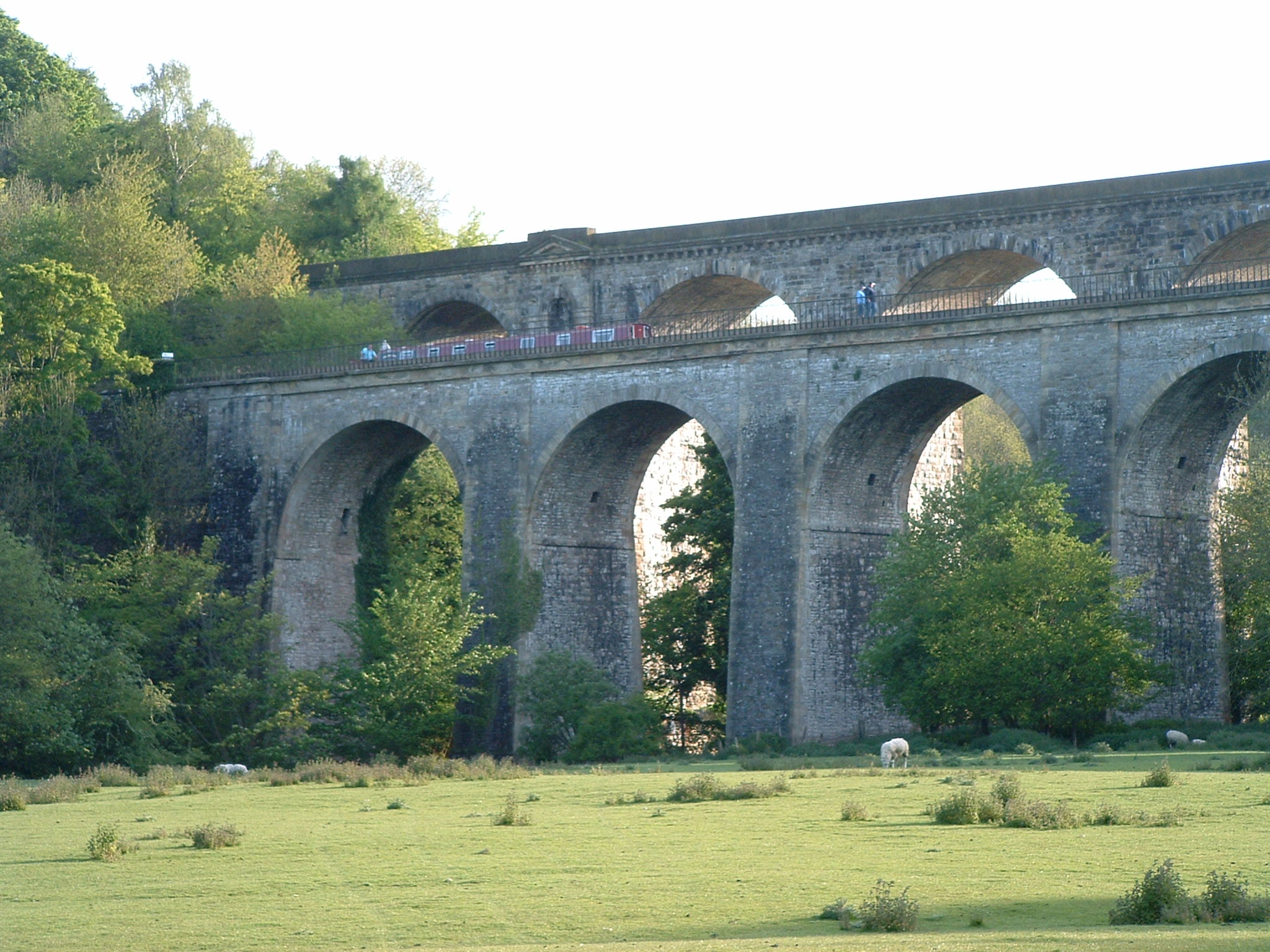
Chirk Aqueduct
Chirk Aqueduct is a 70-foot (21 m) high and 710-foot (220 m) long navigable aqueduct that carries what is now the Llangollen Canal across the Ceiriog Valley...
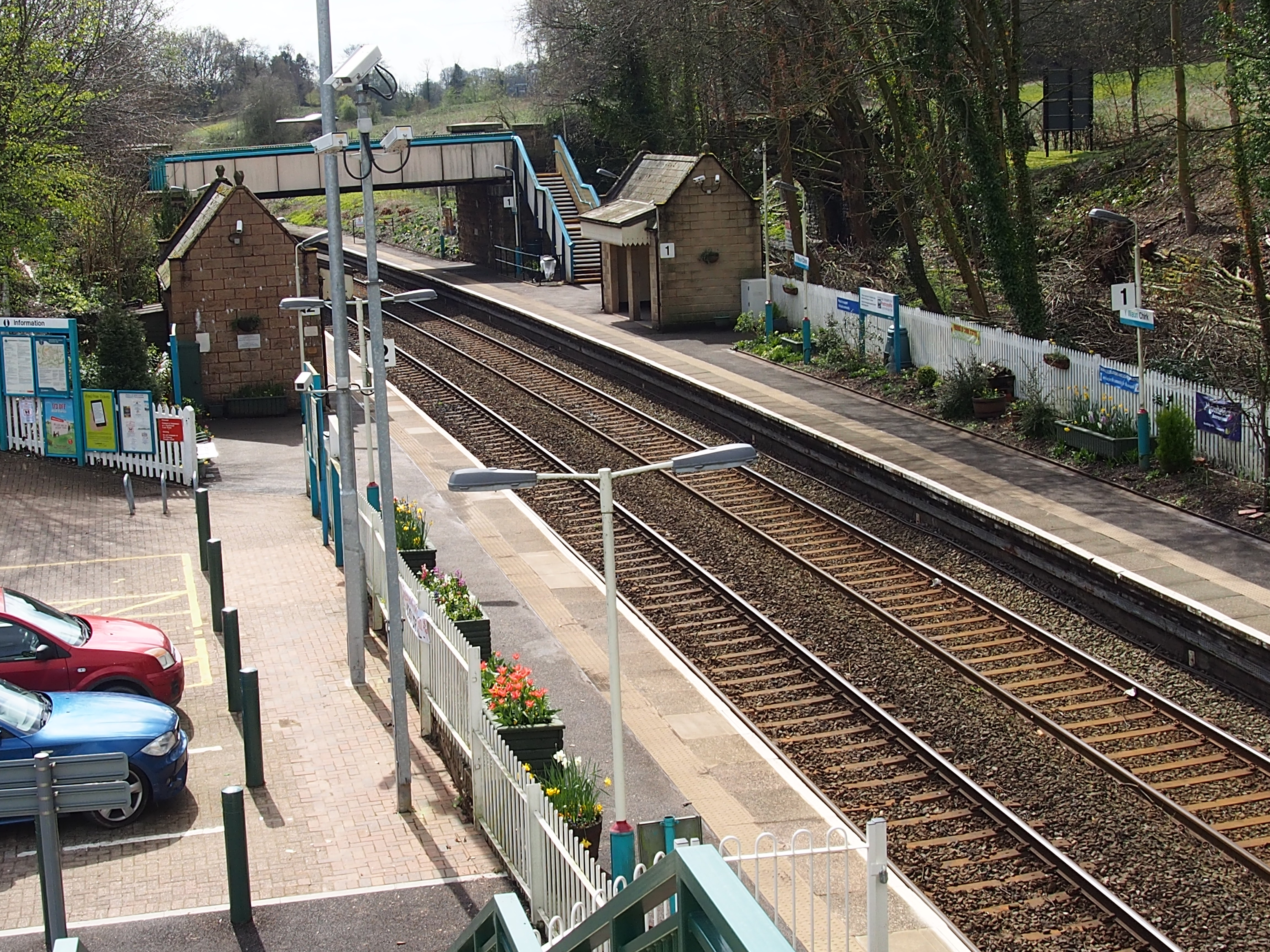
Chirk railway station
Chirk railway station (Welsh: Y Waun) serves the town of Chirk, Wrexham County Borough, Wales. The station is on the Shrewsbury to Chester Line 21 miles...

Trehowell Halt railway station
Trehowell Halt was a small railway station located about a mile and a half south of Chirk, just inside the English border south of an overbridge on the...
Chirkland
Chirkland (Welsh: Swydd y Waun) was a marcher lordship in north-east Wales. It was created in 1282 from parts of Powys Fadog granted to Roger Mortimer...
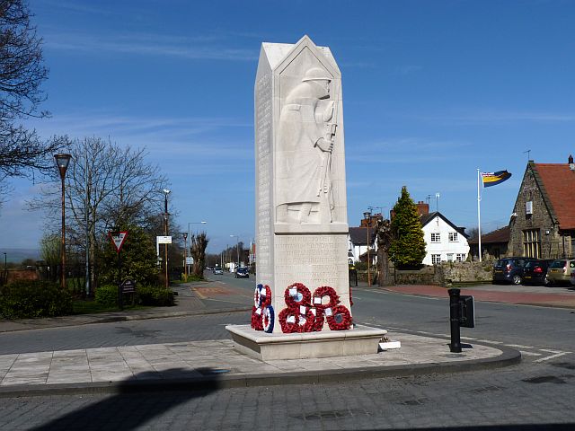
Chirk War Memorial
Chirk War Memorial is a war memorial in the Welsh town of Chirk, now in Wrexham County Borough (until 1974, Chirk was in the historic county of Denbighshire...
Chirk AAA F.C.
Chirk AAA F.C. is a Welsh football team based in Chirk, Wales. They compete in the Cymru North. They were previously in the Premier division of the Welsh...
Nearby Amenities
Located within 500m of 52.927608,-3.0719648Have you been to Baddy's Wood?
Leave your review of Baddy's Wood below (or comments, questions and feedback).