Blackgrove Wood
Wood, Forest in Surrey Tandridge
England
Blackgrove Wood
Blackgrove Wood is a picturesque forest located in the county of Surrey, England. It spans over an area of approximately 150 acres and is known for its dense woodland and natural beauty. The wood is situated near the village of Blackgrove, which lends its name to the forest.
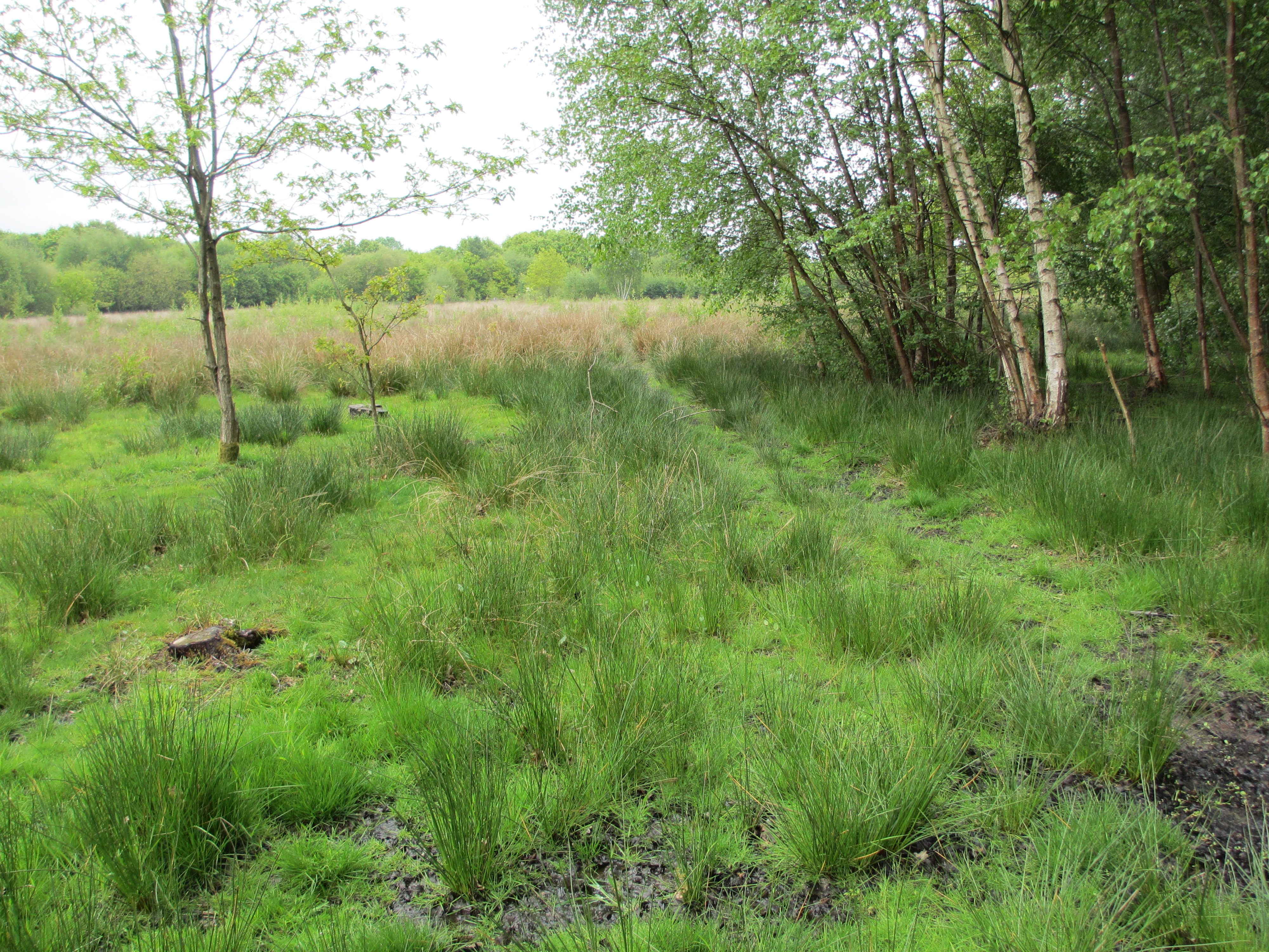
The woodland is predominantly made up of deciduous trees, such as oak, beech, and birch, which create a vibrant and diverse ecosystem. The woodland floor is covered in a carpet of moss, ferns, and wildflowers, adding to the enchanting atmosphere of the area. Wildlife thrives in Blackgrove Wood, with a variety of birds, including woodpeckers and owls, making their homes amidst the treetops. Squirrels, foxes, and deer can also be spotted roaming through the forest.
Blackgrove Wood offers numerous walking trails and paths, allowing visitors to explore the natural wonders that the area has to offer. These paths lead to hidden clearings, babbling brooks, and secluded picnic spots, providing a tranquil escape from the hustle and bustle of everyday life.
The wood is a popular destination for nature enthusiasts, photographers, and families looking to immerse themselves in the beauty of the countryside. Various events and guided tours are also organized throughout the year, offering visitors the opportunity to learn more about the history, flora, and fauna of the woodland.
Overall, Blackgrove Wood is a captivating forest that showcases the natural splendor of Surrey, providing a haven for both wildlife and humans alike.
If you have any feedback on the listing, please let us know in the comments section below.
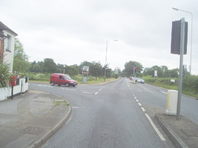
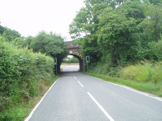
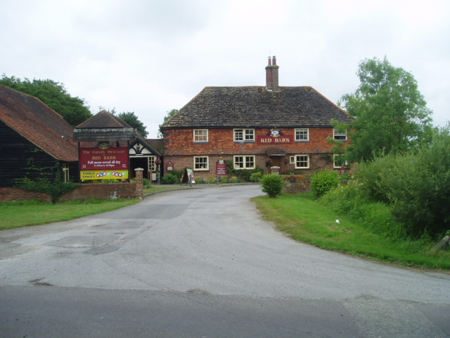
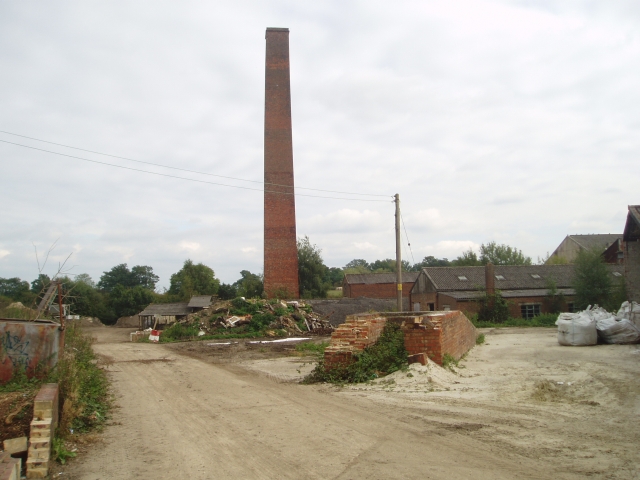
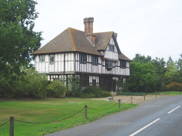
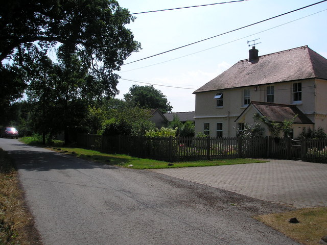
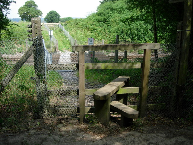
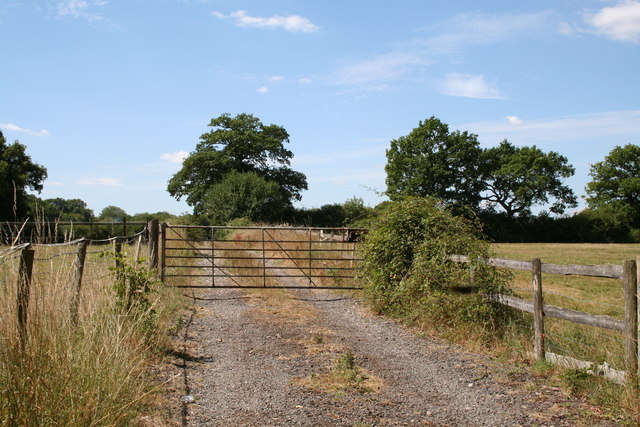
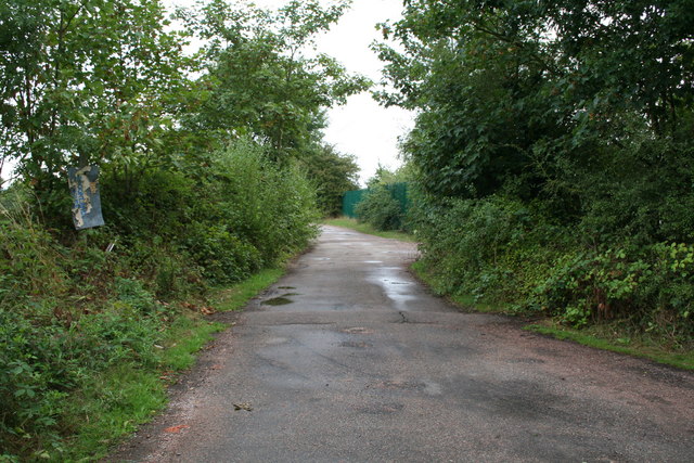
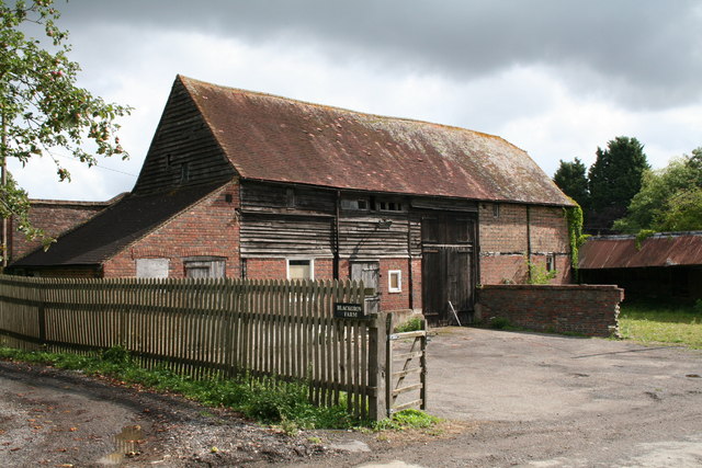
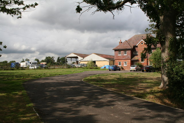
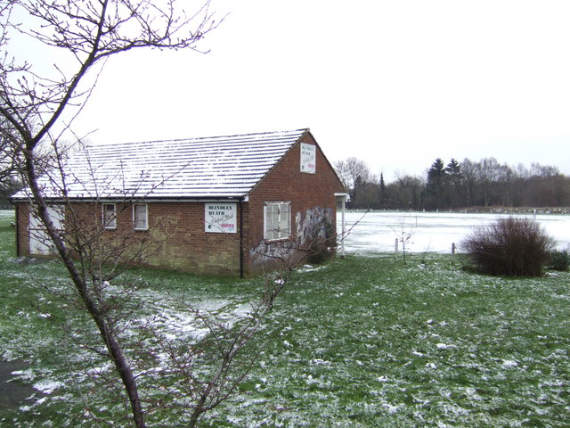
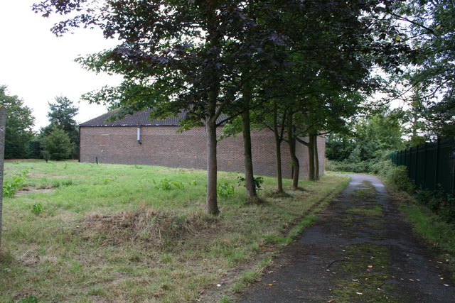
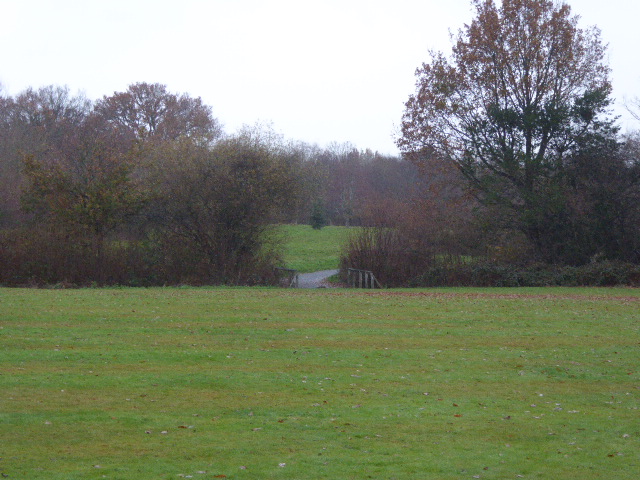
Blackgrove Wood Images
Images are sourced within 2km of 51.202169/-0.034140648 or Grid Reference TQ3746. Thanks to Geograph Open Source API. All images are credited.


Blackgrove Wood is located at Grid Ref: TQ3746 (Lat: 51.202169, Lng: -0.034140648)
Administrative County: Surrey
District: Tandridge
Police Authority: Surrey
What 3 Words
///brains.minds.span. Near Blindley Heath, Surrey
Nearby Locations
Related Wikis

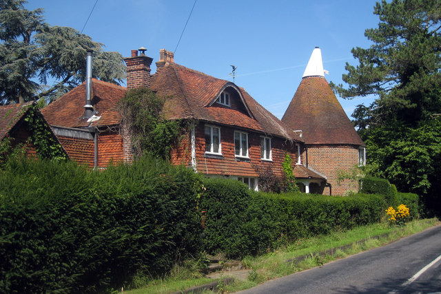
Crowhurst Place
Crowhurst Place, Crowhurst, Surrey, England is a medieval hall house dating from the early 15th century. In the 20th century, the house was reconstructed...

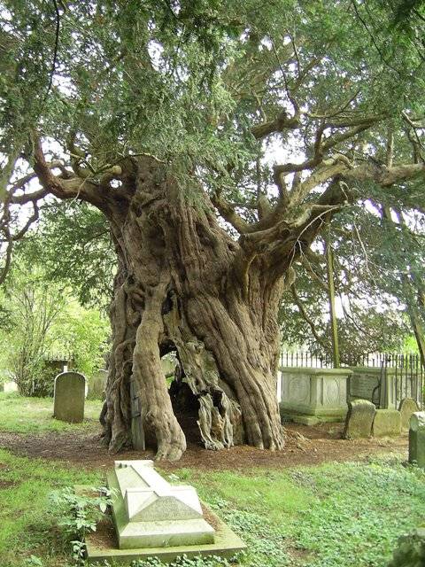
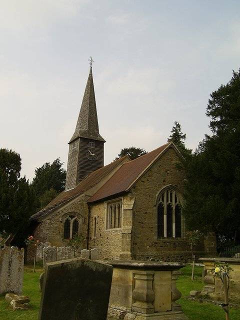
Crowhurst Yew
The Crowhurst Yew is a yew tree in the churchyard of St George's Church in Crowhurst, Surrey, England. It is thought to be about 4,000 years old. Its girth...
Crowhurst, Surrey
Crowhurst is a village and civil parish in the Tandridge district of Surrey, England. The nearest town is Oxted, 3 miles (5 km) to the north. Rated two...
Blindley Heath SSSI
Blindley Heath SSSI is a 26.3-hectare (65-acre) biological Site of Special Scientific Interest in the hamlet Blindley Heath, on the southern outskirts...

Godstone railway station
Godstone railway station is on the Redhill to Tonbridge Line and serves Godstone in Surrey, England. It is 28 miles 13 chains (28.16 miles, 45.32 km) measured...

Lingfield F.C.
Lingfield Football Club are a football club based in the village of Lingfield, near East Grinstead, Surrey, England. The club is affiliated to the Surrey...
Lingfield Wildlife Area
Lingfield Wildlife Area is a 6.3-hectare (16-acre) Local Nature Reserve in Lingfield in Surrey. It is owned by Tandridge District Council and managed...

Centenary Fields
Centenary Fields is a 4.2-hectare (10-acre) Local Nature Reserve in Lingfield in Surrey. It is owned by Lingfield Parish Council and managed by Lingfield...
Nearby Amenities
Located within 500m of 51.202169,-0.034140648Have you been to Blackgrove Wood?
Leave your review of Blackgrove Wood below (or comments, questions and feedback).