Stocks Wood

Wood, Forest in Surrey Tandridge

England

Stocks Wood

Railway Bridge Crowhurst Lane End railway bridge has a narrow width hence the traffic lights. The Brickmakers Arms Pub is just past the bridge.
Railway Bridge Credit: Nigel Freeman

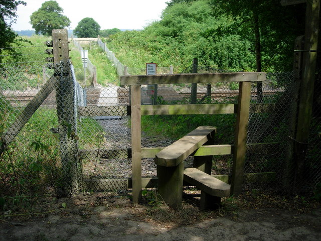
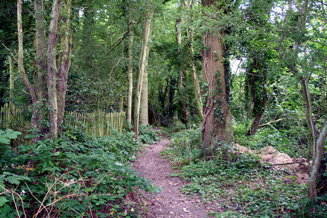
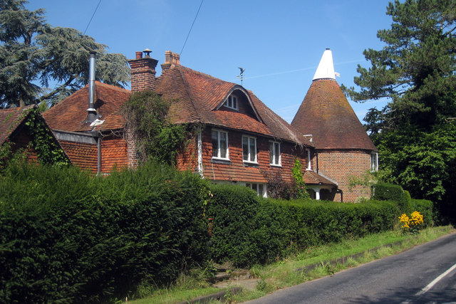
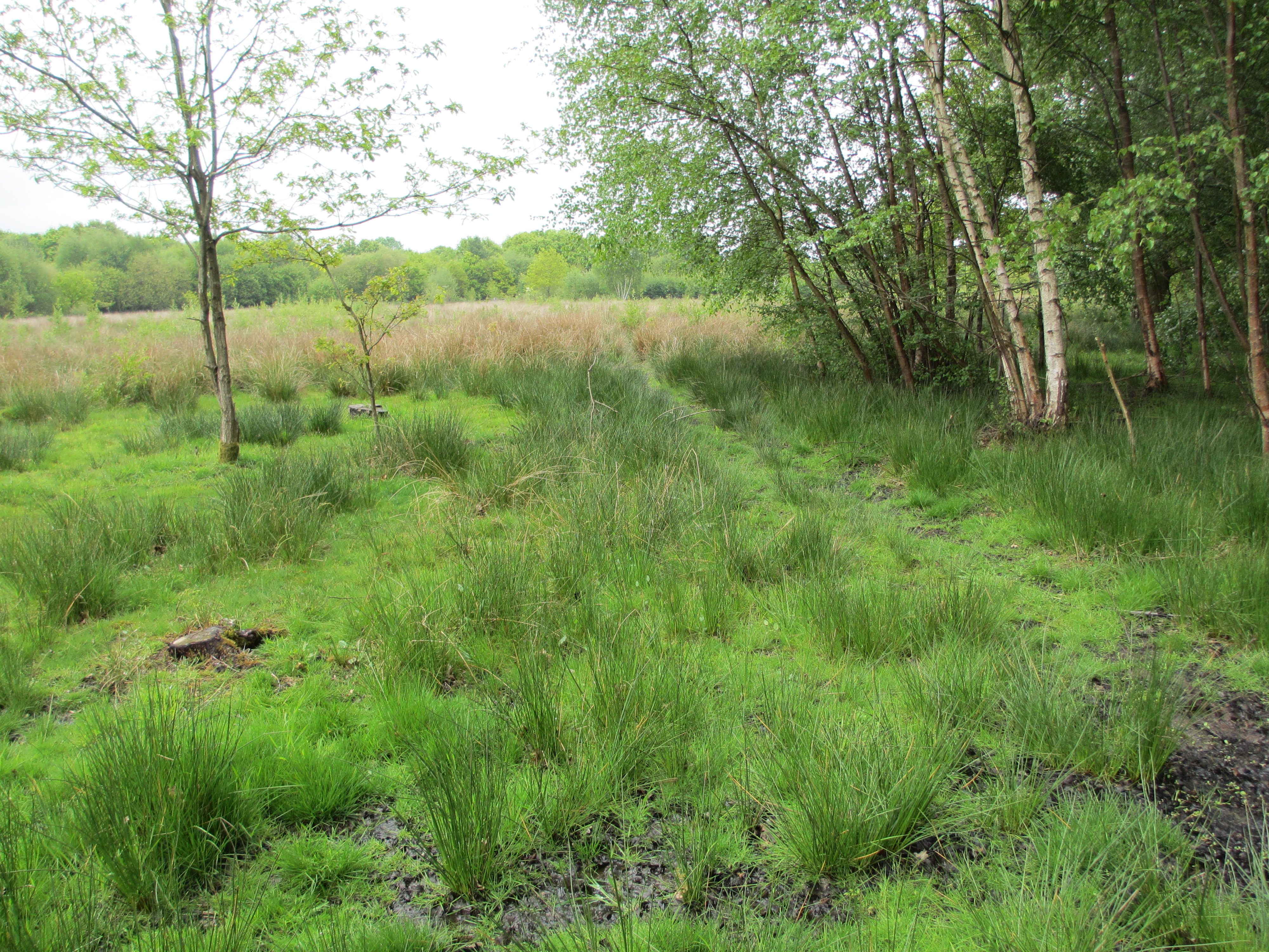
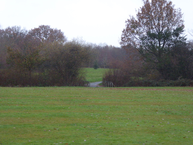
Stocks Wood is a small woodland area located in Surrey, England. It is situated near the town of Reigate and covers an area of approximately 50 acres. The woodland is predominantly made up of mixed broadleaf trees, including oak, beech, and birch.

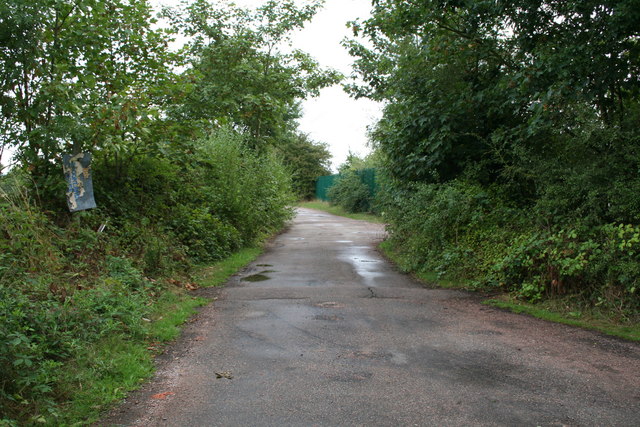
Stocks Wood is known for its natural beauty and tranquility, making it a popular destination for nature enthusiasts and walkers. The woodland provides a peaceful escape from the busy urban life, offering a serene environment to explore and enjoy the outdoors. There are several well-maintained footpaths and trails that crisscross through the wood, allowing visitors to navigate through the dense foliage and discover its hidden treasures.

The woodland is home to a variety of wildlife, including birds, squirrels, and deer. It provides a vital habitat for many species, making it an important ecological site in the area. The diverse range of trees and vegetation in Stocks Wood also supports a rich biodiversity, with numerous plant species thriving in its fertile soil.

Due to its close proximity to Reigate, Stocks Wood is easily accessible to both locals and tourists. The wood is well-maintained by local authorities, ensuring that visitors can enjoy a safe and well-preserved environment. Facilities such as car parks and picnic areas are available nearby, providing convenience to those who wish to spend a day exploring the wood.

Overall, Stocks Wood in Surrey is a charming woodland area that offers a peaceful retreat for nature lovers. With its scenic beauty and diverse wildlife, it provides an ideal setting for outdoor activities and a chance to connect with nature.

If you have any feedback on the listing, please let us know in the comments section below.
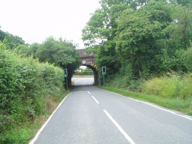
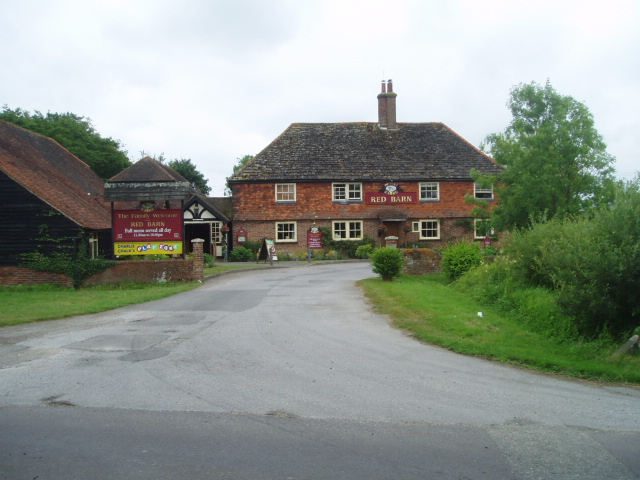
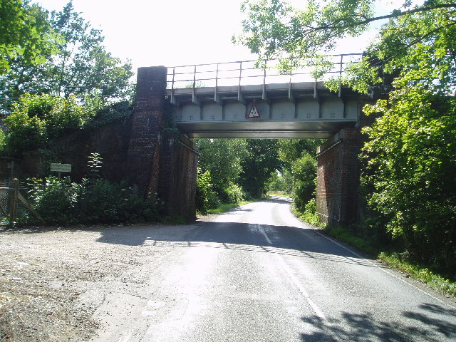
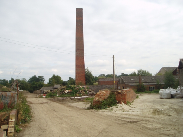
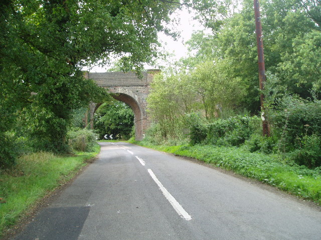
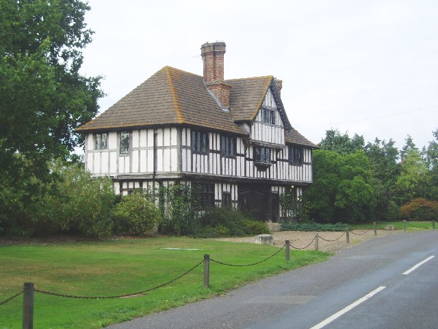
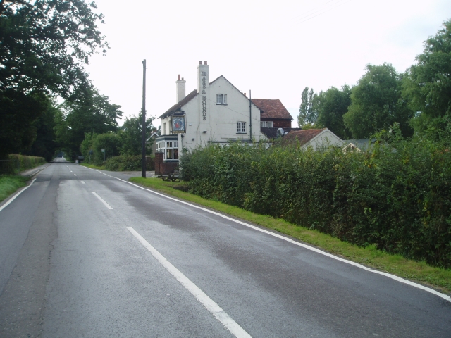
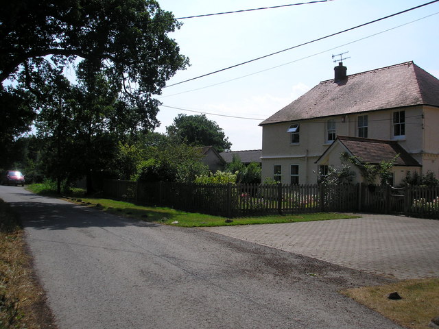
Stocks Wood Images

Images are sourced within 2km of 51.200877/-0.026322684 or Grid Reference TQ3746. Thanks to Geograph Open Source API. All images are credited.

Railway Bridge Crowhurst Lane End railway bridge has a narrow width hence the traffic lights. The Brickmakers Arms Pub is just past the bridge.
Railway Bridge
Crowhurst Lane End railway bridge has a narrow width hence the traffic lights. The Brickmakers Arms Pub is just past the bridge.
The Red Barn This 'Brewers Fayre' serves food
The Red Barn
This 'Brewers Fayre' serves food
Railway bridge near Lingfield Just before you reach Lingfield from London.
Railway bridge near Lingfield
Just before you reach Lingfield from London.
Crowhurst Brickworks - chimney The old brickworks site still retains its chimney, which is square.
Crowhurst Brickworks - chimney
The old brickworks site still retains its chimney, which is square.
Railway bridge On the railway line between Hurst Green and Lingfield on Caterfield Lane
Railway bridge
On the railway line between Hurst Green and Lingfield on Caterfield Lane
Crowhurst Manor - Gate House The present Crowhurst Manor house and farm date back to 15th century. This gate house is much more recent.
Crowhurst Manor - Gate House
The present Crowhurst Manor house and farm date back to 15th century. This gate house is much more recent.
Hare and Hounds - Lingfield Common Road
Withycroft House, Bowerland Lane, near Lingfield, Surrey The house is on a minor lane just west of the East Grinstead railway line
Withycroft House, Bowerland Lane, near Lingfield, Surrey
The house is on a minor lane just west of the East Grinstead railway line
Footpath across railway line Footpath crossing the Tonbridge to Redhill railway line.
Footpath across railway line
Footpath crossing the Tonbridge to Redhill railway line.
Road and public footpath near Blindley Heath, Surrey This footpath is the southern leg of a group of paths which link the A22 eastwards across to Tandridge Lane.  The path is metalled at the western end to give access to a small number of properties.
Road and public footpath near Blindley Heath, Surrey
This footpath is the southern leg of a group of paths which link the A22 eastwards across to Tandridge Lane. The path is metalled at the western end to give access to a small number of properties.
Ancient barn, Blackgrove Farm, Surrey. On the east side of Tandridge Lane.  Parts of this barn, which is still in use, date from around 1490.
Ancient barn, Blackgrove Farm, Surrey.
On the east side of Tandridge Lane. Parts of this barn, which is still in use, date from around 1490.
Buttons Mead Farm,  Tandridge Lane, Surrey All is in apple-pie order at Buttons Mead, where horse rearing is an important activity.
Buttons Mead Farm, Tandridge Lane, Surrey
All is in apple-pie order at Buttons Mead, where horse rearing is an important activity.
Ponies near Crowhurst Lane, Surrey A sharp shower of rain had just begun as we reached these friendly ponies being groomed in a field not far south of Crowhurst Lane.
Ponies near Crowhurst Lane, Surrey
A sharp shower of rain had just begun as we reached these friendly ponies being groomed in a field not far south of Crowhurst Lane.
Blindley Heath cricket ground
Pumping station This building would appear to have no door and no window.  It is surrounded by high-security fencing through which I had to poke the camera to take the photograph.
Pumping station
This building would appear to have no door and no window. It is surrounded by high-security fencing through which I had to poke the camera to take the photograph.
The Crowhurst Yew This ancient tree is estimated to be around 4,000 years old; maybe twice the age of the church in whose graveyard it now stands. The location of a church here may suggest an effort to put an obvious Christian stamp on a site that was already of religious or spiritual significance to a pre-Christian population, thus easing the transition of religion.
The Crowhurst Yew
This ancient tree is estimated to be around 4,000 years old; maybe twice the age of the church in whose graveyard it now stands. The location of a church here may suggest an effort to put an obvious Christian stamp on a site that was already of religious or spiritual significance to a pre-Christian population, thus easing the transition of religion.
St. George's Church at Crowhurst The small disperesed village of Crowhurst lies about two miles north of Lingfield and is centred in the west of this grid-square around the small mediaeval church of St. George, seen here from the village street. 
<a href="https://www.geograph.org.uk/photo/691472">TQ3947 : The Crowhurst Yew</a> stands in the churchyard and its foliage can be seen to the right of the picture.
St. George's Church at Crowhurst
The small disperesed village of Crowhurst lies about two miles north of Lingfield and is centred in the west of this grid-square around the small mediaeval church of St. George, seen here from the village street. TQ3947 : The Crowhurst Yew stands in the churchyard and its foliage can be seen to the right of the picture.
Footpath near Lingfield, Surrey This footpath leads about 1.5 miles westwards from the end of Bowerlands Lane to Blindley Heath
Footpath near Lingfield, Surrey
This footpath leads about 1.5 miles westwards from the end of Bowerlands Lane to Blindley Heath
Show me another place!

Stocks Wood is located at Grid Ref: TQ3746 (Lat: 51.200877, Lng: -0.026322684)

Administrative County: Surrey

District: Tandridge

Police Authority: Surrey

What 3 Words

///speaks.fakes.pose. Near Blindley Heath, Surrey

Related Wikis

Crowhurst Place

Crowhurst Place, Crowhurst, Surrey, England is a medieval hall house dating from the early 15th century. In the 20th century, the house was reconstructed...

Crowhurst, Surrey

Crowhurst is a village and civil parish in the Tandridge district of Surrey, England. The nearest town is Oxted, 3 miles (5 km) to the north. Rated two...
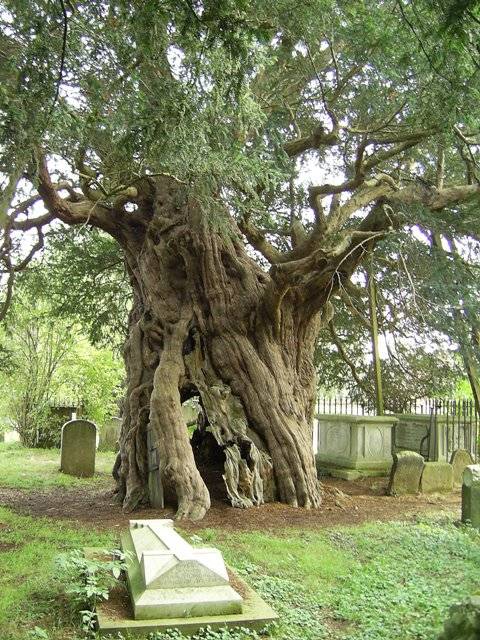
Crowhurst Yew

The Crowhurst Yew is a yew tree in the churchyard of St George's Church in Crowhurst, Surrey, England. It is thought to be about 4,000 years old. Its girth...
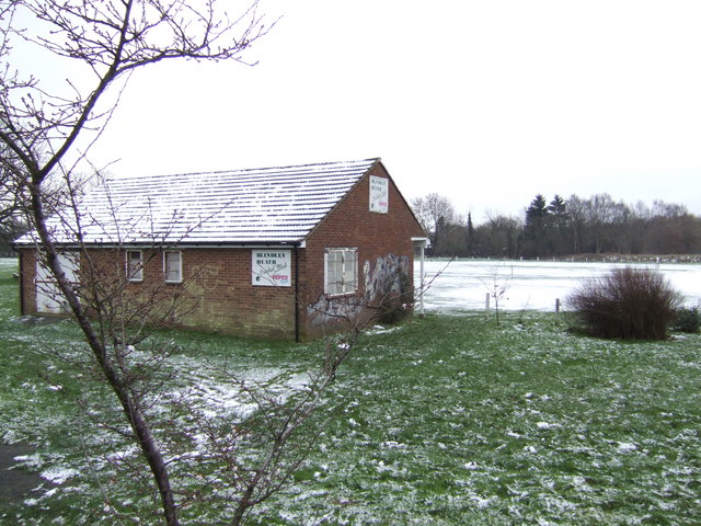
Blindley Heath SSSI

Blindley Heath SSSI is a 26.3-hectare (65-acre) biological Site of Special Scientific Interest in the hamlet Blindley Heath, on the southern outskirts...

Lingfield F.C.

Lingfield Football Club are a football club based in the village of Lingfield, near East Grinstead, Surrey, England. The club is affiliated to the Surrey...

Lingfield Wildlife Area

Lingfield Wildlife Area is a 6.3-hectare (16-acre) Local Nature Reserve in Lingfield in Surrey. It is owned by Tandridge District Council and managed...

Godstone railway station

Godstone railway station is on the Redhill to Tonbridge Line and serves Godstone in Surrey, England. It is 28 miles 13 chains (28.16 miles, 45.32 km) measured...

Centenary Fields

Centenary Fields is a 4.2-hectare (10-acre) Local Nature Reserve in Lingfield in Surrey. It is owned by Lingfield Parish Council and managed by Lingfield...

Nearby Amenities

Located within 500m of 51.200877,-0.026322684
Bench
Lat/Long: 51.1971583/-0.0224929
Bench
Backrest: no
Seats: 3
Lat/Long: 51.197188/-0.0222925
The data included in this document is from www.openstreetmap.org. The data is made available under ODbL.

Have you been to Stocks Wood?

Leave your review of Stocks Wood below (or comments, questions and feedback).