Widbury Wood

Wood, Forest in Hertfordshire East Hertfordshire

England

Widbury Wood

Post Wood Road, Ware Many of the roads in Ware and around were badly flooded.
Post Wood Road, Ware Credit: David Howard

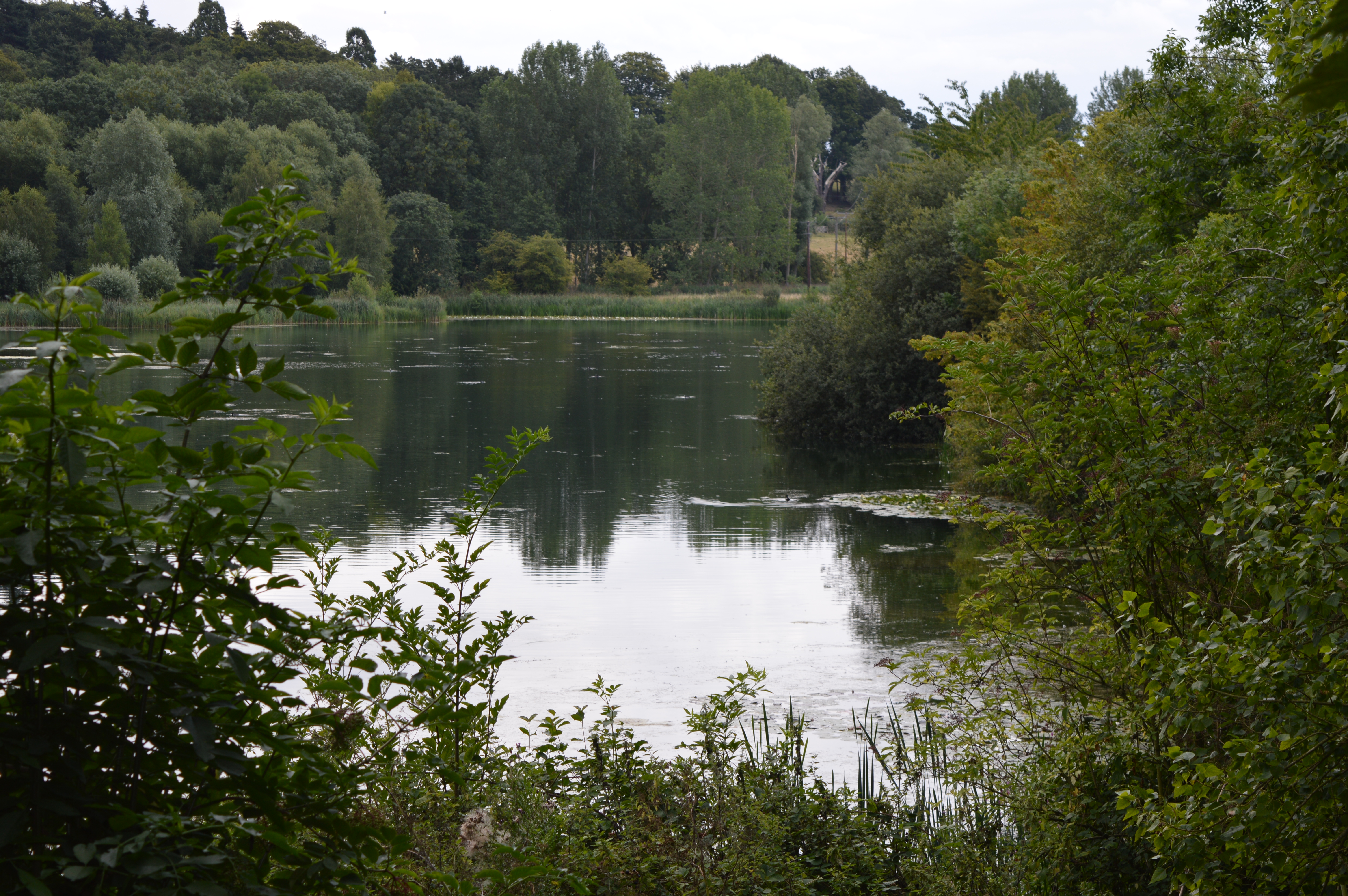
Widbury Wood is a charming woodland located in Hertfordshire, England. Spanning over an area of approximately 150 acres, it is a popular destination for nature lovers and outdoor enthusiasts. The wood is situated near the town of Ware, just a short distance from the River Lea.

As visitors venture into Widbury Wood, they are greeted by a diverse range of flora and fauna. The woodland is predominantly composed of deciduous trees, such as oak, beech, and ash, which create a lush and vibrant canopy during the summer months. Underneath the towering trees, a carpet of bluebells, wildflowers, and ferns adds to the enchanting atmosphere.

The wood is home to a variety of wildlife, including deer, foxes, badgers, and a wide array of bird species. Birdwatchers can spot woodpeckers, owls, and jays, among others, while exploring the peaceful trails. The wood also provides an ideal habitat for insects, with butterflies and dragonflies fluttering through the air during the warmer seasons.

Widbury Wood is a haven for outdoor activities. It offers several well-maintained footpaths, allowing visitors to explore the woodland at their own pace. There are also designated picnic areas, providing an opportunity to relax and enjoy the serene surroundings. Furthermore, the wood is intersected by the Hertfordshire Way, a long-distance footpath that offers stunning views of the surrounding countryside.

Overall, Widbury Wood is a picturesque and tranquil woodland that showcases the beauty of Hertfordshire's natural landscape. With its diverse flora and fauna, well-maintained trails, and idyllic picnic spots, it is a destination that attracts visitors of all ages who are seeking a peaceful retreat in the heart of nature.

If you have any feedback on the listing, please let us know in the comments section below.
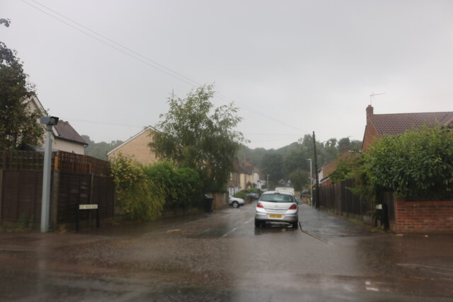
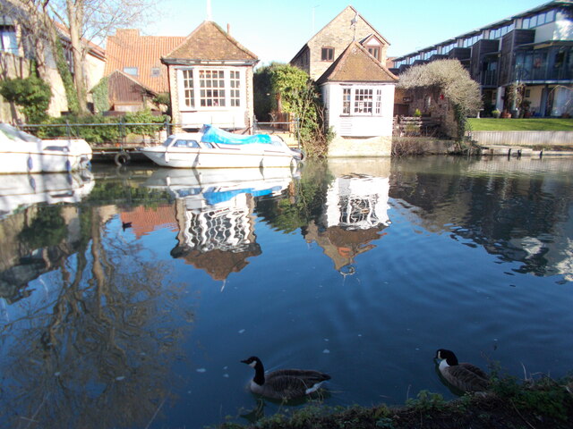
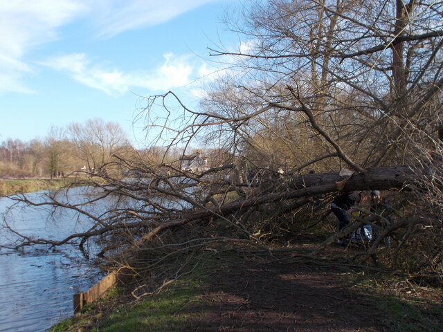
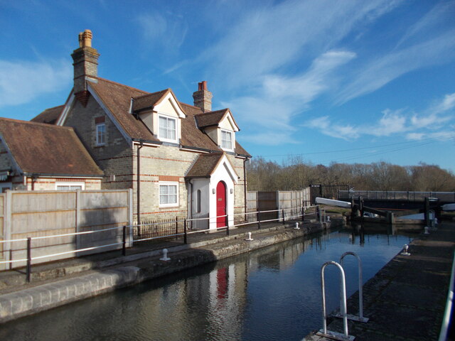
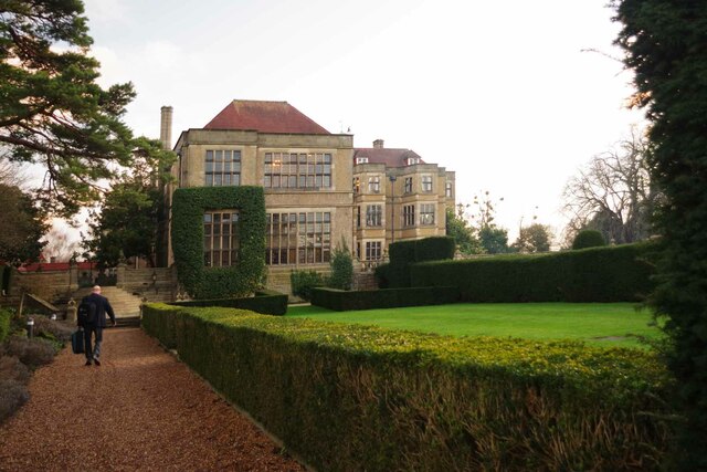
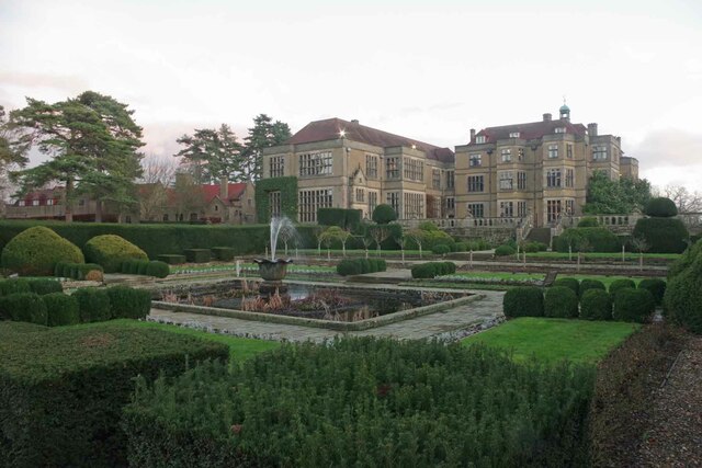
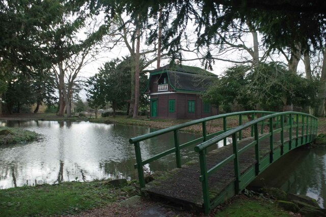
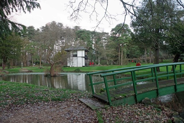
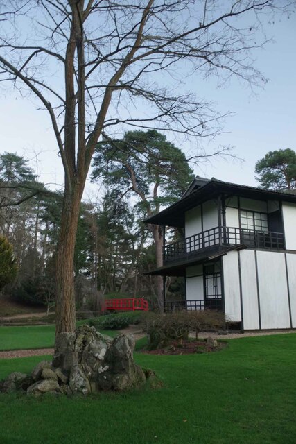
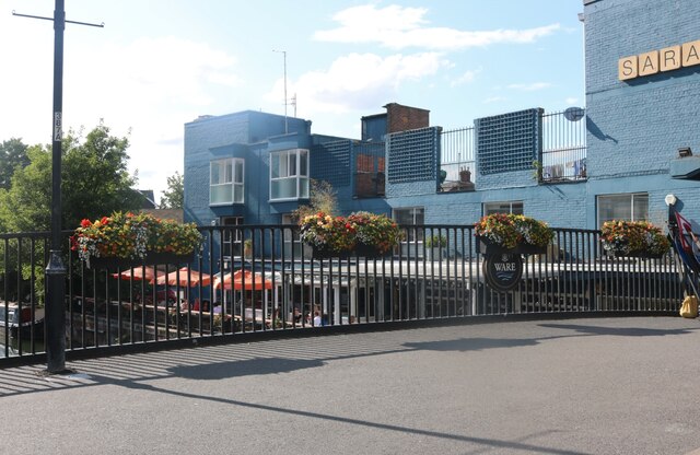
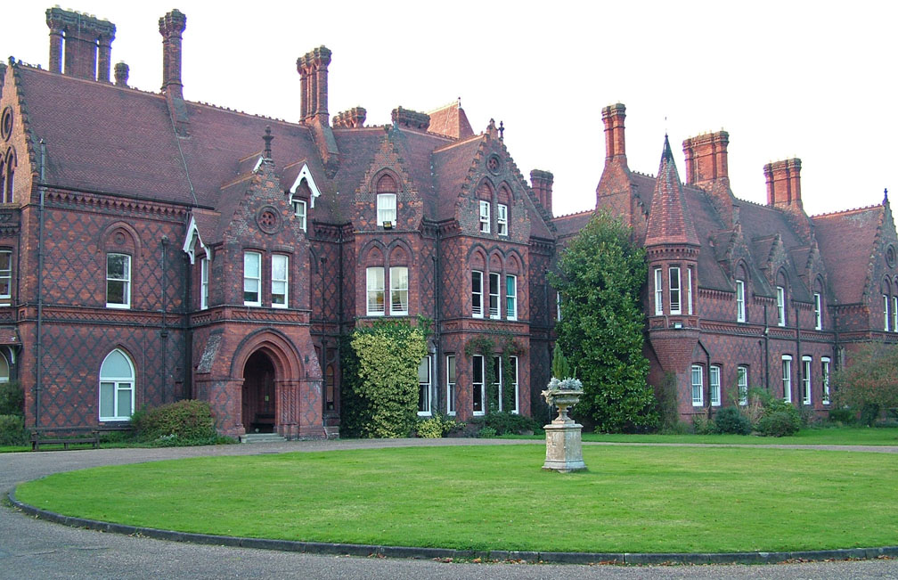
Widbury Wood Images

Images are sourced within 2km of 51.807023/-0.007948286 or Grid Reference TL3713. Thanks to Geograph Open Source API. All images are credited.

Post Wood Road, Ware Many of the roads in Ware and around were badly flooded.
Post Wood Road, Ware
Many of the roads in Ware and around were badly flooded.
Junction on Ware Road, Wareside
Gypsy Lane at the junction of Pepper Hill Many of the local roads were up to a foot deep in water
Gypsy Lane at the junction of Pepper Hill
Many of the local roads were up to a foot deep in water
Gazebo reflections at Ware
Fallen tree by the river near to Hardmead Lock Presumably a result of the havoc wreaked by Storm Eunice the previous weekend.
Fallen tree by the river near to Hardmead Lock
Presumably a result of the havoc wreaked by Storm Eunice the previous weekend.
Hardmead Lock Lock number 3 on the River Lee Navigation at Great Amwell, near to the town of Ware in Hertfordshire.
Hardmead Lock
Lock number 3 on the River Lee Navigation at Great Amwell, near to the town of Ware in Hertfordshire.
Ware : New River bridge weight warning sign
Ware : Scott's Grotto summerhouse Grade II* listed - <span class="nowrap"><a title="https://historicengland.org.uk/listing/the-list/list-entry/1275397" rel="nofollow ugc noopener" href="https://historicengland.org.uk/listing/the-list/list-entry/1275397">Link</a><img style="margin-left:2px;" alt="External link" title="External link - shift click to open in new window" src="https://s1.geograph.org.uk/img/external.png" width="10" height="10"/></span>.
Ware : Scott's Grotto summerhouse
Grade II* listed - LinkExternal link.
Ware : Scott's Grotto summerhouse
Ware : Scott's Grotto Grade I listed - <span class="nowrap"><a title="https://historicengland.org.uk/listing/the-list/list-entry/1238171?section=official-list-entry" rel="nofollow ugc noopener" href="https://historicengland.org.uk/listing/the-list/list-entry/1238171?section=official-list-entry">Link</a><img style="margin-left:2px;" alt="External link" title="External link - shift click to open in new window" src="https://s1.geograph.org.uk/img/external.png" width="10" height="10"/></span>.
Ware : Scott's Grotto
Grade I listed - LinkExternal link.
Fanhams Hall Now a Country House Hotel, this C18th Jacobean style mansion (remodelled in 1901) is Grade II listed. It was the former home to Henry Page-Croft, Winston Churchill's Under Secretary of State for War.
Fanhams Hall
Now a Country House Hotel, this C18th Jacobean style mansion (remodelled in 1901) is Grade II listed. It was the former home to Henry Page-Croft, Winston Churchill's Under Secretary of State for War.
Fanhams Hall & Formal Gardens Just a small part of the gardens of <a href="https://www.geograph.org.uk/photo/7380046">TL3715 : Fanhams Hall</a>
Fanhams Hall & Formal Gardens
Just a small part of the gardens of TL3715 : Fanhams Hall
The Courtyard at Fanhams Hall The courtyard of <a href="https://www.geograph.org.uk/photo/7380046">TL3715 : Fanhams Hall</a>
The Courtyard at Fanhams Hall
The courtyard of TL3715 : Fanhams Hall
Bridge & Austrian Tea Room Part of the gardens of <a href="https://www.geograph.org.uk/photo/7380046">TL3715 : Fanhams Hall</a>
Bridge & Austrian Tea Room
Part of the gardens of TL3715 : Fanhams Hall
Bridge and Japanese Tea Room Part of the Japanese Gardens in <a href="https://www.geograph.org.uk/photo/7380046">TL3715 : Fanhams Hall</a>.
Bridge and Japanese Tea Room
Part of the Japanese Gardens in TL3715 : Fanhams Hall.
Japanese Tea House Part of the Japanese garden at <a href="https://www.geograph.org.uk/photo/7380046">TL3715 : Fanhams Hall</a>
Japanese Tea House
Part of the Japanese garden at TL3715 : Fanhams Hall
The Saracens Head, Ware By the River Lea
The Saracens Head, Ware
By the River Lea
The Bourne, Ware
The Bourne, Ware
Show me another place!

Widbury Wood is located at Grid Ref: TL3713 (Lat: 51.807023, Lng: -0.007948286)

Administrative County: Hertfordshire

District: East Hertfordshire

Police Authority: Hertfordshire

What 3 Words

///always.groups.canny. Near Ware, Hertfordshire

Nearby Locations

Widbury Wood Mead Wood

Related Wikis

Hardmead Lock

Hardmead Lock (No3) is a lock on the River Lee Navigation at Great Amwell close to the town of Ware. The lock has a reputation as being difficult to negotiate...

All Nations Christian College

All Nations Christian College is an English missions college, located on the Easneye estate near Ware, Hertfordshire, and validated by the Open University...

River Ash, Hertfordshire

The River Ash originates near the village of Brent Pelham in North Hertfordshire and flows through The Hadhams (Little, Ford and Much), Widford, Wareside...

Beaver Group

Beaver Group is an organization whose focus is the delivery of digital signage, content design and web technologies. Beaver Group clients are spread across...

Amwell Quarry

Amwell Quarry or Amwell Nature Reserve is a 37 hectare biological Site of Special Scientific Interest in Great Amwell in Hertfordshire. The planning authority...

Amwell Magna Fishery

Amwell Magna Fishery is located on the River Lea at Great Amwell which is 1.5 miles (2.4 km) south of Ware in Hertfordshire, southern England. == History... ==

Babbs Green

Babbs Green is a hamlet in the civil parish of Wareside, in the East Hertfordshire district of Hertfordshire, England, located around 3 miles (5 km) north...

Bakers End

Bakers End is a hamlet in the civil parish of Wareside, in the East Hertfordshire district, in the county of Hertfordshire, England.

Nearby Amenities

Located within 500m of 51.807023,-0.007948286
Widburyhill Farm
Naptan AtcoCode: 210021303052
Naptan Bearing: E
Naptan BusStopType: CUS
Naptan CommonName: Widburyhill Farm
Naptan Crossing: Widbury House
Naptan Indicator: opp
Naptan Landmark: Widbury House
Naptan NaptanCode: hrtgwmap
Naptan PlusbusZoneRef: WARE
Naptan ShortCommonName: NA
Naptan Street: Widbury Hill
Naptan Verified: no
Source: naptan_import
Lat/Long: 51.8086483/-0.0122632
Priors Wood Cottages
Local Ref: NR
Naptan AtcoCode: 210021303060
Naptan Bearing: E
Naptan BusStopType: CUS
Naptan CommonName: Priors Wood Cottages
Naptan Indicator: nr
Naptan Landmark: Unknown
Naptan NaptanCode: hrtdtmwa
Naptan PlusbusZoneRef: WARE
Naptan ShortCommonName: NA
Naptan Street: B1004
Naptan Verified: no
Source: naptan_import
Lat/Long: 51.8092374/-0.0040408
Priors Wood Cottages
Naptan AtcoCode: 210021309520
Naptan Bearing: W
Naptan BusStopType: CUS
Naptan CommonName: Priors Wood Cottages
Naptan Indicator: opp
Naptan Landmark: Unknown
Naptan NaptanCode: hrtdpjmd
Naptan PlusbusZoneRef: WARE
Naptan ShortCommonName: NA
Naptan Street: B1004
Naptan Verified: no
Source: naptan_import
Lat/Long: 51.8092397/-0.003649
Widburyhill Farm
Naptan AtcoCode: 210021309540
Naptan Bearing: W
Naptan BusStopType: CUS
Naptan CommonName: Widburyhill Farm
Naptan Crossing: opp Widbury House
Naptan Indicator: adj
Naptan Landmark: opp Widbury House
Naptan NaptanCode: hrtgwmat
Naptan PlusbusZoneRef: WARE
Naptan ShortCommonName: NA
Naptan Street: Widbury Hill
Naptan Verified: no
Source: naptan_import
Lat/Long: 51.8083554/-0.0124936
Barrier: kissing_gate
Foot: yes
Lat/Long: 51.8043224/-0.0060472
Barrier: stile
Foot: yes
Material: wood
Step Count: 1
Stile: stepover
Lat/Long: 51.8078907/-0.0115855
Barrier: stile
Foot: yes
Material: wood
Step Count: 1
Stile: stepover
Lat/Long: 51.8042329/-0.0054215
Barrier: stile
Foot: yes
Material: wood
Step Count: 2
Stile: stepover
Lat/Long: 51.805241/-0.0031866
Barrier: stile
Foot: yes
Material: wood
Step Count: 1
Stile: stepover
Lat/Long: 51.8053195/-0.0032703
Material: wood
Power: pole
Lat/Long: 51.8099899/-0.0119768
Material: wood
Power: pole
Lat/Long: 51.8026201/-0.0075987
Power: pole
Lat/Long: 51.8031816/-0.0069845
Material: wood
Power: pole
Lat/Long: 51.8037505/-0.0063542
Material: wood
Power: pole
Lat/Long: 51.8044918/-0.005976
Material: wood
Power: pole
Lat/Long: 51.8048418/-0.0045745
Power: pole
Lat/Long: 51.8074439/-0.0050801
Power: pole
Lat/Long: 51.8065915/-0.0049031
Power: pole
Lat/Long: 51.8057158/-0.0047421
Material: wood
Power: pole
Lat/Long: 51.8052/-0.0033098
Barrier: kissing_gate
Lat/Long: 51.8026164/-0.0074251
Barrier: kissing_gate
Lat/Long: 51.8042612/-0.0051358
The data included in this document is from www.openstreetmap.org. The data is made available under ODbL.

Have you been to Widbury Wood?

Leave your review of Widbury Wood below (or comments, questions and feedback).