The Rough
Wood, Forest in Sussex Mid Sussex
England
The Rough
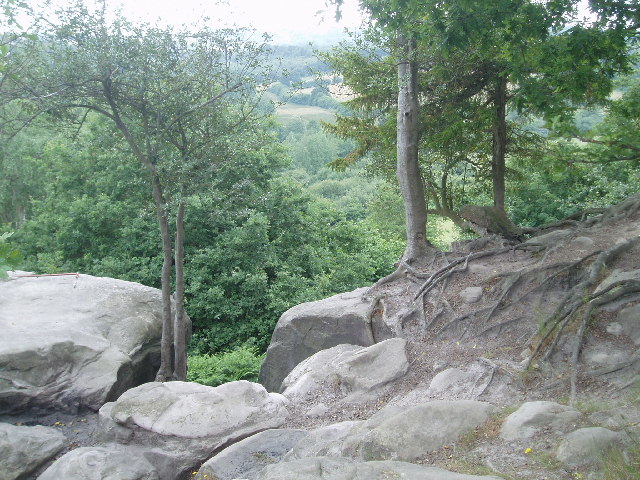
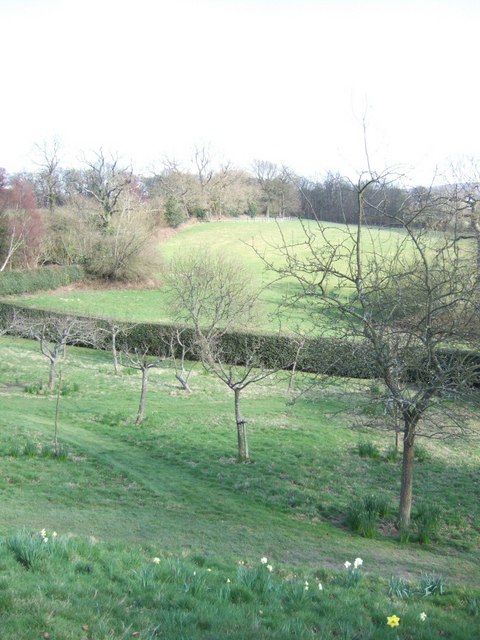
The Rough, Sussex is a picturesque woodland located in the county of Sussex, England. Covering an area of approximately 200 acres, it is a popular destination for nature enthusiasts and outdoor enthusiasts alike. The woodland is primarily composed of dense oak trees, which provide a stunning backdrop for visitors to enjoy.
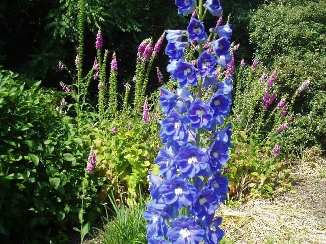
The Rough is known for its rich biodiversity, with a wide variety of flora and fauna calling it home. The forest floor is carpeted with vibrant wildflowers, creating a burst of color during the spring and summer months. Visitors may also spot a range of wildlife, including deer, squirrels, and a multitude of bird species.
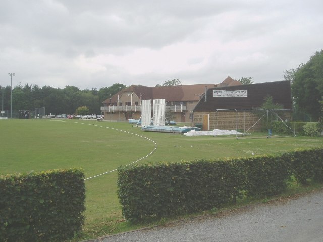
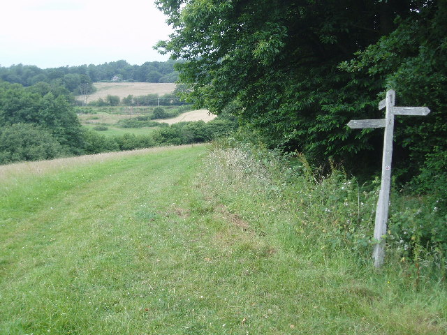
The woodland offers a network of well-maintained trails, making it ideal for walkers, hikers, and joggers. The paths wind their way through the forest, leading visitors on a journey of exploration and discovery. Along the way, there are several picnic areas and benches where visitors can rest and take in the tranquil surroundings.
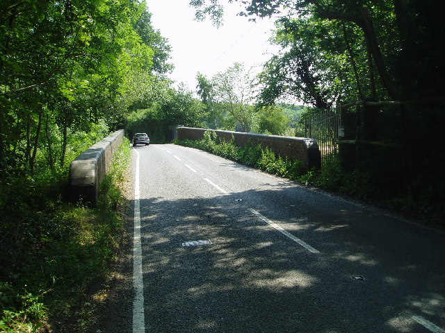
For those interested in history, The Rough has a rich past dating back centuries. The woodland was once part of a larger estate and has witnessed many significant events throughout the years. Visitors can still find remnants of old stone walls and foundations, serving as a reminder of the area's historical significance.
Overall, The Rough, Sussex is a captivating woodland that offers a peaceful escape from the hustle and bustle of everyday life. With its stunning natural beauty and diverse wildlife, it is a must-visit destination for anyone seeking a connection with nature in the heart of Sussex.
If you have any feedback on the listing, please let us know in the comments section below.
The Rough Images
Images are sourced within 2km of 51.105625/-0.038225383 or Grid Reference TQ3735. Thanks to Geograph Open Source API. All images are credited.
The Rough is located at Grid Ref: TQ3735 (Lat: 51.105625, Lng: -0.038225383)
Administrative County: West Sussex
District: Mid Sussex
Police Authority: Sussex
What 3 Words
///loves.landed.oils. Near East Grinstead, West Sussex
Nearby Locations
Related Wikis

Lingfield Cernes
Lingfield Cernes is a 10.3-hectare (25-acre) biological Site of Special Scientific Interest east of Lingfield in Surrey. == Site details == This site has...

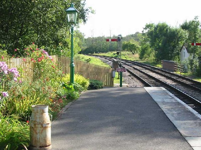
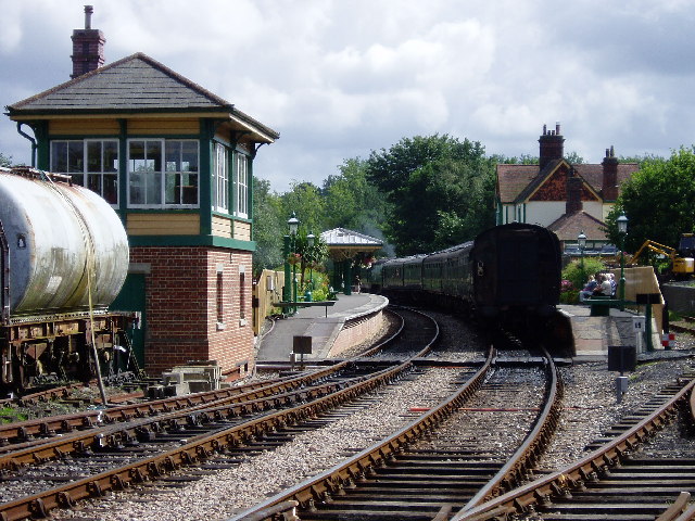
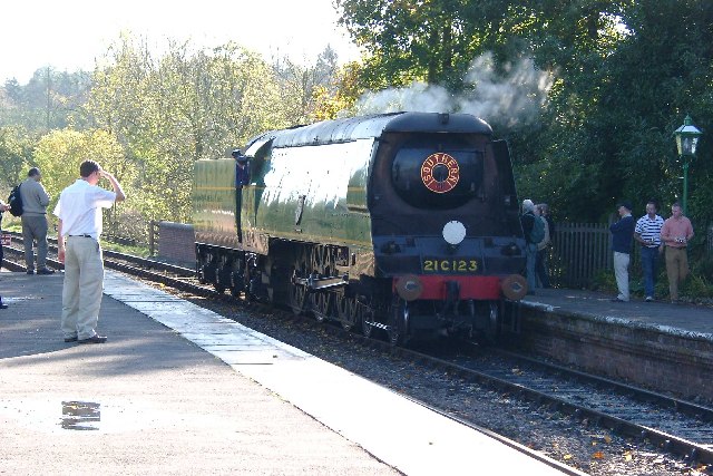
Kingscote railway station
Kingscote railway station is a preserved railway station on the heritage Bluebell Railway, located in West Sussex, England. == History == The station was...

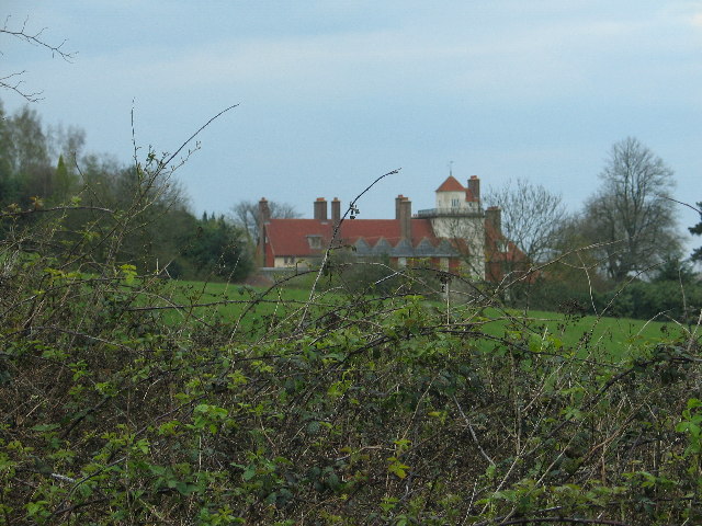
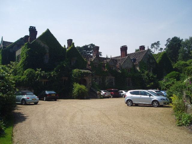
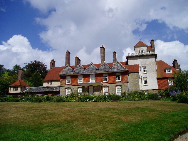
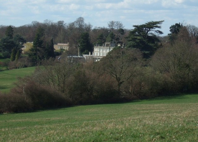
Saint Hill Manor
Saint Hill Manor is a Grade II listed country manor house at Saint Hill Green, near East Grinstead in West Sussex, England. It was constructed in 1792...

Saint Hill Green
Saint Hill Green is a small village near East Grinstead, West Sussex, England. It is notable for two country houses in the vicinity: Standen, designed...

Stone Farm Rocks
Stone Farm Rocks or Stone Hill Rocks is a 0.6-hectare (1.5-acre) geological Site of Special Scientific Interest south of East Grinstead in West Sussex...
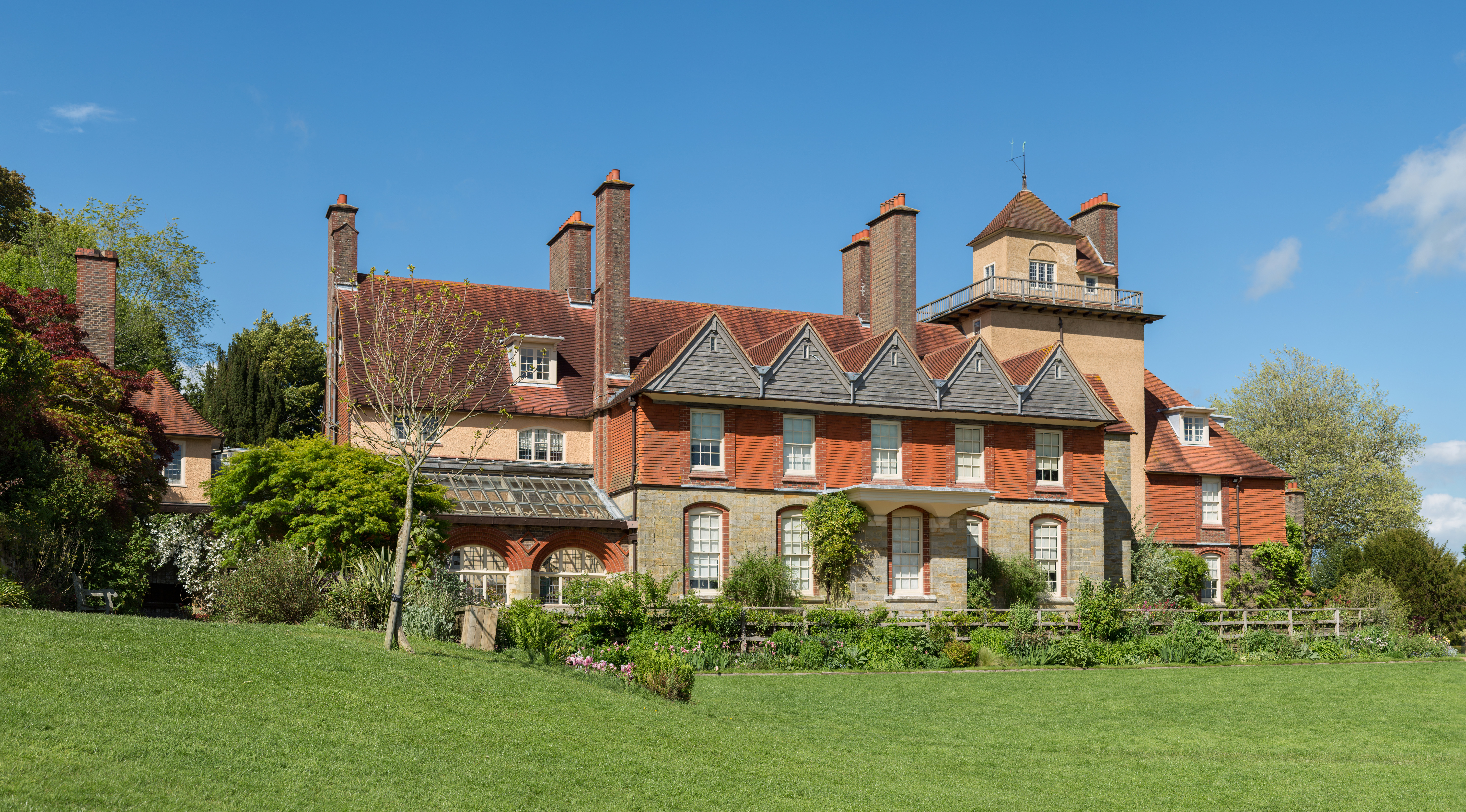
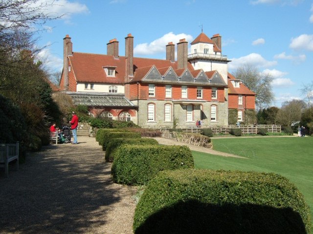
Standen
Standen is an Arts and Crafts house located to the south of East Grinstead, West Sussex, England. The house and its surrounding gardens belong to the National...

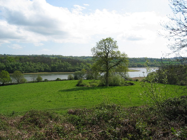
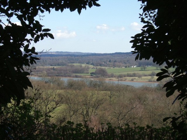
Weir Wood Reservoir
Weir Wood Reservoir is a 153.5-hectare (379-acre) biological Site of Special Scientific Interest west of Forest Row in East Sussex. It is in High Weald...
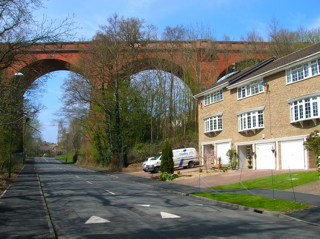
Imberhorne Viaduct
Imberhorne Viaduct is a Grade II listed railway viaduct located in East Grinstead, West Sussex, South-East England. Closed in 1958, the structure was brought...
Nearby Amenities
Located within 500m of 51.105625,-0.038225383Have you been to The Rough?
Leave your review of The Rough below (or comments, questions and feedback).