Harold's Wood
Wood, Forest in Sussex Mid Sussex
England
Harold's Wood
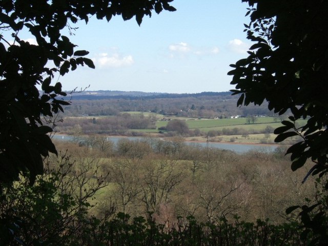
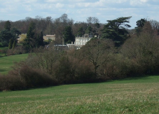
Harold's Wood, Sussex is a charming woodland area located in the southern region of England. Situated in the county of Sussex, the wood is nestled within the beautiful South Downs National Park, offering visitors a serene and picturesque setting to explore.
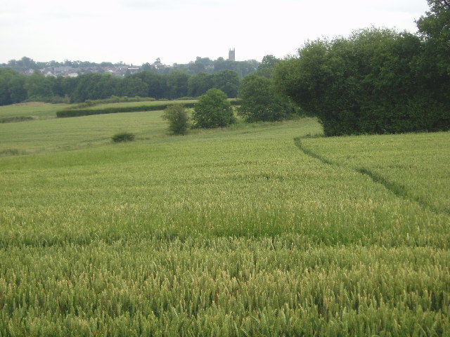
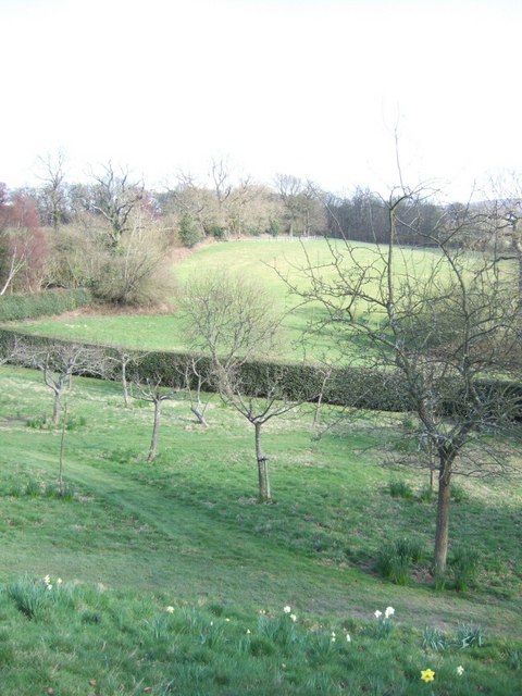
Covering an area of approximately 500 acres, Harold's Wood is known for its dense and diverse tree population, including oak, beech, and ash. The wood boasts a rich and vibrant ecosystem, with a variety of flora and fauna thriving within its boundaries. It is a popular destination for nature enthusiasts, hikers, and wildlife photographers who are drawn to its tranquil atmosphere and the opportunity to capture stunning shots of the local wildlife.
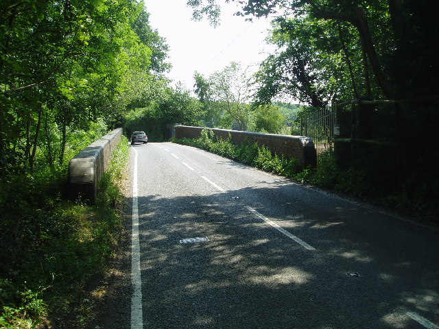
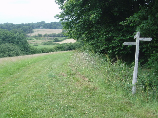
The wood is intersected by a network of well-maintained footpaths, providing visitors with easy access to its many attractions. Along the trails, one can encounter ancient trees, bubbling streams, and vibrant wildflowers, adding to the natural beauty of the area. The wood is also home to a variety of wildlife species, such as deer, foxes, and a wide array of bird species, making it a haven for nature lovers.
In addition to its natural beauty, Harold's Wood also holds historical significance. It is believed to have been named after King Harold II, who reputedly used the wood as a hunting ground in the 11th century. The wood's history can be further explored through the presence of ancient earthworks and archaeological sites that dot its landscape.
Overall, Harold's Wood, Sussex is a captivating destination that offers a peaceful retreat from the hustle and bustle of everyday life. With its stunning scenery, diverse wildlife, and rich history, it is a place that appeals to both outdoor enthusiasts and those seeking a deeper connection with nature.
If you have any feedback on the listing, please let us know in the comments section below.
Harold's Wood Images
Images are sourced within 2km of 51.103532/-0.040513783 or Grid Reference TQ3735. Thanks to Geograph Open Source API. All images are credited.

Harold's Wood is located at Grid Ref: TQ3735 (Lat: 51.103532, Lng: -0.040513783)
Administrative County: West Sussex
District: Mid Sussex
Police Authority: Sussex
What 3 Words
///enjoyable.driven.motion. Near East Grinstead, West Sussex
Nearby Locations
Related Wikis

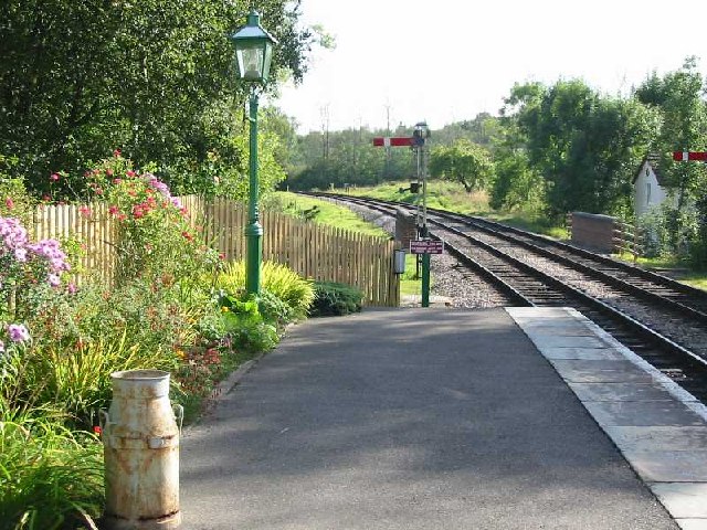
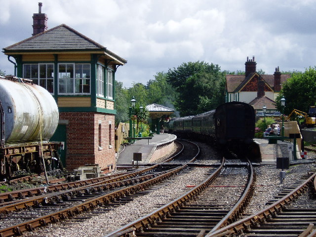
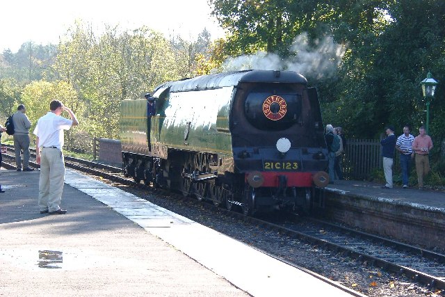
Kingscote railway station
Kingscote railway station is a preserved railway station on the heritage Bluebell Railway, located in West Sussex, England. == History == The station was...

Lingfield Cernes
Lingfield Cernes is a 10.3-hectare (25-acre) biological Site of Special Scientific Interest east of Lingfield in Surrey. == Site details == This site has...

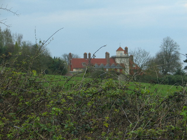
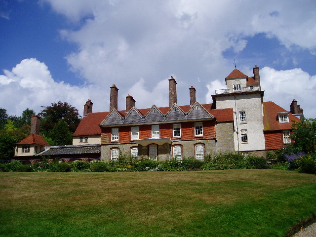
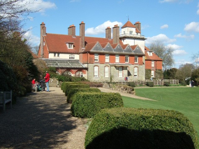
Saint Hill Manor
Saint Hill Manor is a Grade II listed country manor house at Saint Hill Green, near East Grinstead in West Sussex, England. It was constructed in 1792...

Saint Hill Green
Saint Hill Green is a small village near East Grinstead, West Sussex, England. It is notable for two country houses in the vicinity: Standen, designed...

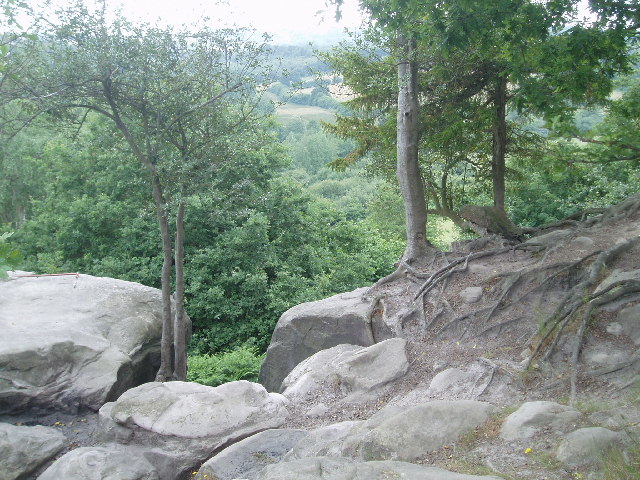
Stone Farm Rocks
Stone Farm Rocks or Stone Hill Rocks is a 0.6-hectare (1.5-acre) geological Site of Special Scientific Interest south of East Grinstead in West Sussex...
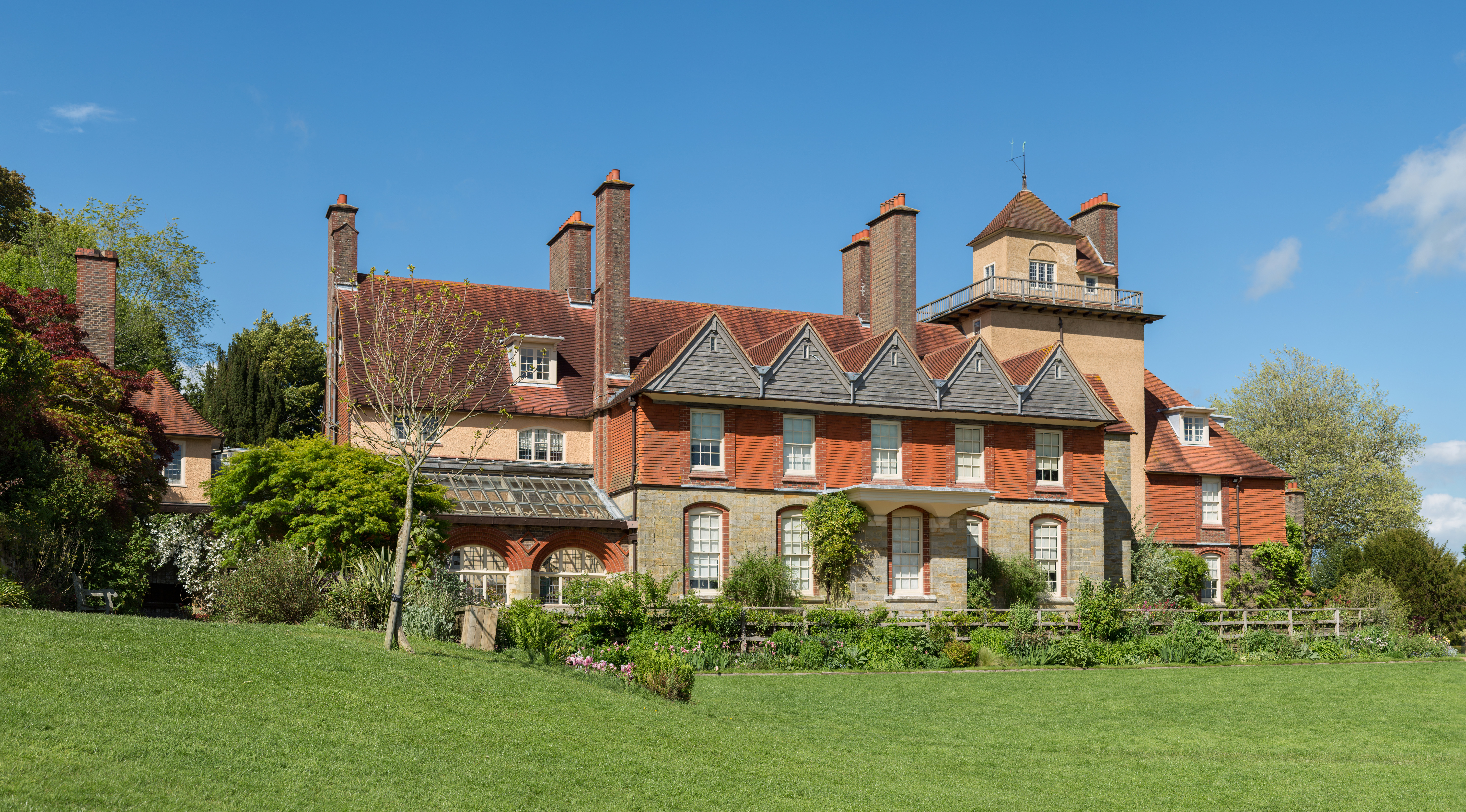
Standen
Standen is an Arts and Crafts house located to the south of East Grinstead, West Sussex, England. The house and its surrounding gardens belong to the National...

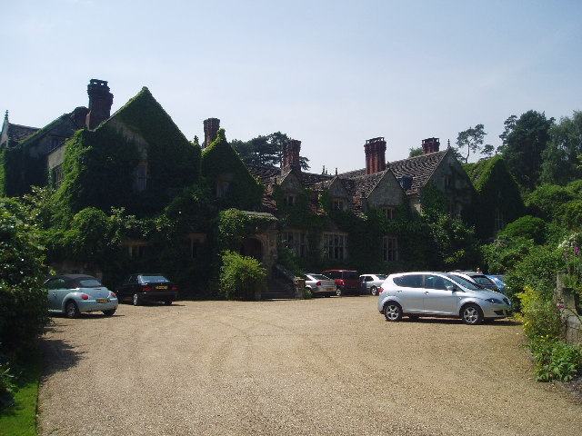
Gravetye Manor
Gravetye Manor is a manor house located near East Grinstead, West Sussex, England. The former home of landscape gardener William Robinson, it is now a...

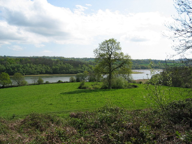
Weir Wood Reservoir
Weir Wood Reservoir is a 153.5-hectare (379-acre) biological Site of Special Scientific Interest west of Forest Row in East Sussex. It is in High Weald...
Nearby Amenities
Located within 500m of 51.103532,-0.040513783Have you been to Harold's Wood?
Leave your review of Harold's Wood below (or comments, questions and feedback).